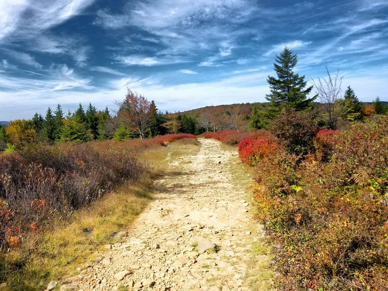
Hikers in one corner of West Virginia are still warned about World War II artillery shells. Soldiers trained on this windswept plateau before heading to Europe, and some old ordnance may remain in the ground.
That is wild enough. Now add a landscape that looks like it drifted down from Canada, with stunted red spruce, open heath, and rock outcrops that seem to belong much farther north.
Here is the catch. One of the main roads that climbs up to this place is closed, and the Forest Service lists the closure through January 4, 2027.
I love a good detour, but nobody wants to find out about a locked gate after a long drive.
The wilderness itself is still open. You just need a smarter game plan, a full tank of gas, and a little patience with gravel.
So how do you get up there now?
1. Dolly Sods Wilderness
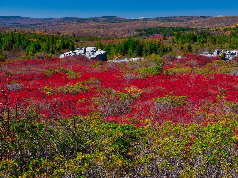
Blueberry bushes, bogs, and boulders make this plateau look like a postcard from Canada. Yet you’re standing in the Monongahela National Forest in West Virginia.
Congress designated Dolly Sods as wilderness in 1975, and an expansion in 2009 pushed it past 17,000 acres. Elevations run from about 2,600 feet to over 4,000 feet, so the weather up top can feel like a different season.
The odd name has roots in local history. A German family named Dahle grazed land here, and settlers called open mountain meadows sods.
Logging and fires in the late 1800s and early 1900s stripped much of the old forest. What grew back is the open, rocky, berry-covered land people now drive hours to see.
Fall is the headline act, when huckleberry and blueberry leaves turn deep crimson. Summer brings berry picking, and spring brings a lot of mud.
Wilderness rules apply, which means no motorized equipment and a group size limit of 10 people. Trails here are often unmarked or lightly signed, so a paper map and compass are smart company.
Address: Monongahela National Forest, Cheat-Potomac Ranger District, Grant, Randolph, and Tucker Counties, WV
2. Forest Road 19
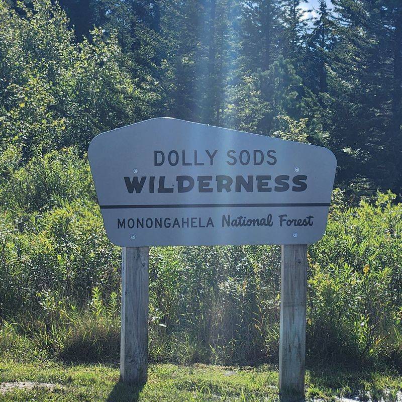
Gravel, switchbacks, and now a locked gate. Forest Road 19 is the route causing all the headaches this season.
Many visitors have long used this road to climb from the valley toward the high plateau. The Monongahela National Forest lists it as closed, with the closure expected to last until January 4, 2027.
Why the shutdown? The Forest Service points to public safety while repair and maintenance work moves forward on sections of the route.
Here’s the part that matters most for your weekend. The road closure does not close the wilderness, so the trails and views are still waiting for you.
You’ll want to plan your drive before you leave home. GPS apps don’t always know about forest road closures, and they may cheerfully send you straight to a gate.
Gates on forest roads mean business. Driving around one can bring a citation, and it can put you on a road crews consider unsafe.
Closure dates can also shift as work progresses. Check the Monongahela National Forest alerts page right before your trip, then check it again if your plans change.
Address: Forest Road 19, Monongahela National Forest, Grant County, WV
3. Jordan Run Road
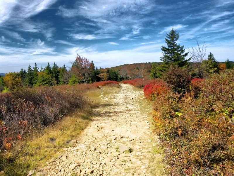
Every good detour needs a reliable sidekick. For many Dolly Sods trips, Jordan Run Road plays that role.
This county road leaves Route 28/55 near Hopeville in Grant County. It has long served as a jumping off point for visitors heading up toward the plateau.
With Forest Road 19 closed, your exact turn matters more than usual. Trip reports and Forest Service guidance mention Jordan Run Road as part of alternate access, but routes can change during construction.
So treat it as your starting point, not a blind shortcut. Call or stop by the ranger district for current directions before you commit.
The drive itself is a treat. You’ll pass farmland, old barns, and the kind of quiet valley scenery that makes West Virginia back roads so easy to love.
Cell service can vanish out here fast. Download offline maps at home, and jot the directions on paper like it’s 1995.
Fuel up before you leave the larger towns too. Gas stations get scarce once you turn off the highway.
Address: Jordan Run Road, near Hopeville, Grant County, WV 26847
4. Forest Road 75
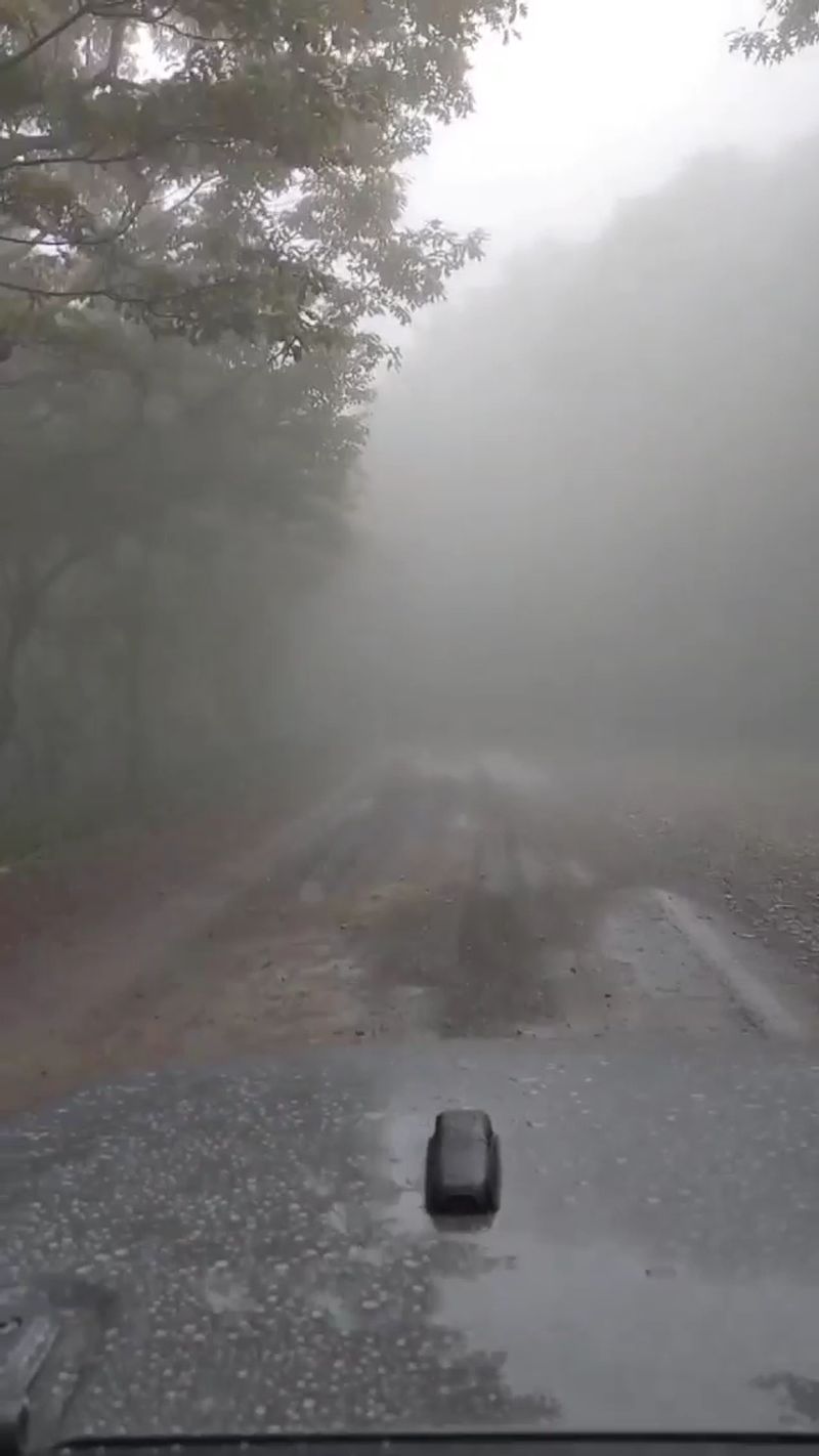
Think of Forest Road 75 as the spine of the whole adventure. It runs along the eastern edge of the wilderness, and many of the best trailheads line up beside it.
This rough gravel road reaches the high country near Bear Rocks and Red Creek Campground. If you can get onto it, you’re in business.
Expect potholes, washboard stretches, and slow speeds. A regular car can often make it in good weather, but higher clearance brings real peace of mind.
Winter is another story entirely. The Forest Service typically closes this road seasonally in the colder months, so check dates before any late fall or early spring trip.
Views open up along the drive, and you’ll see why people pull over constantly. The Allegheny Front drops steeply toward the east, revealing valleys far below.
Parking areas fill quickly on peak fall weekends. Arriving early on a weekday is the classic move if your schedule allows it.
Pack layers even in July. Wind and fog roll across this ridge with very little warning.
Address: Forest Road 75, Monongahela National Forest, Grant and Tucker Counties, WV
5. Bear Rocks Preserve
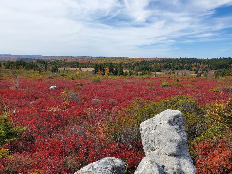
Some overlooks ask for a long hike first. Bear Rocks hands you a jaw-dropping view almost from the parking area.
The Nature Conservancy protects this preserve at the northeastern edge of Dolly Sods. Its jumbled white sandstone outcrops sit right on the Allegheny Front.
From the rocks, you can look east across ridges and valleys that stretch for miles. Sunrise here is a favorite for photographers who don’t mind an alarm clock.
The landscape around you is open heath and windswept shrubs. Red spruce grows flagged here, with branches pushed to one side by strong winds.
Scrambling is half the fun. Watch your footing, though, because the rocks can be slick with fog or rain.
This spot works nicely if you have limited time or limited hiking energy. A short wander delivers the Canada-in-West-Virginia feeling without a full day on the trail.
Remember that this is preserve land, not wilderness. Stay on established paths so fragile plants have a chance to recover.
Address: Bear Rocks Preserve, Forest Road 75, Tucker County, WV
6. Red Creek Campground
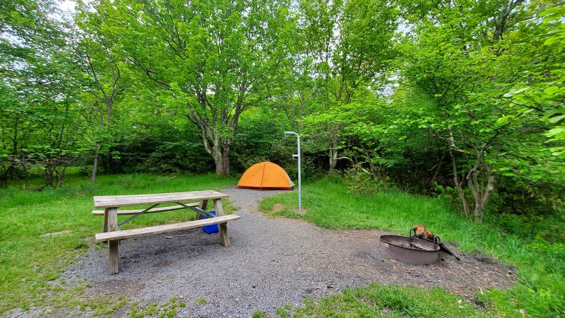
Sleeping at nearly 4,000 feet beats a motel ceiling any day. Red Creek Campground puts you right next to the wilderness boundary.
This small Forest Service campground sits along Forest Road 75. Sites are first come, first served, so a Friday afternoon arrival on a fall weekend can turn into a game of musical chairs.
Facilities stay basic, with picnic tables, fire rings, and vault toilets. Bring your own water or a reliable filter.
Staying overnight solves part of the access puzzle. Once you’ve made the drive up, you skip a second round of gravel the next morning.
Nights get chilly, even in summer. A sleeping bag rated well below the forecast low is a wise packing choice.
Trailheads for Blackbird Knob and other popular routes sit close by. That makes early starts easy, especially when you want the trails before the crowds wake up.
Check the season before you go. The campground typically operates in the warmer months and depends on Forest Road 75 being open.
Address: Red Creek Campground, Forest Road 75, Monongahela National Forest, Tucker County, WV
7. Red Creek Trailhead at Laneville
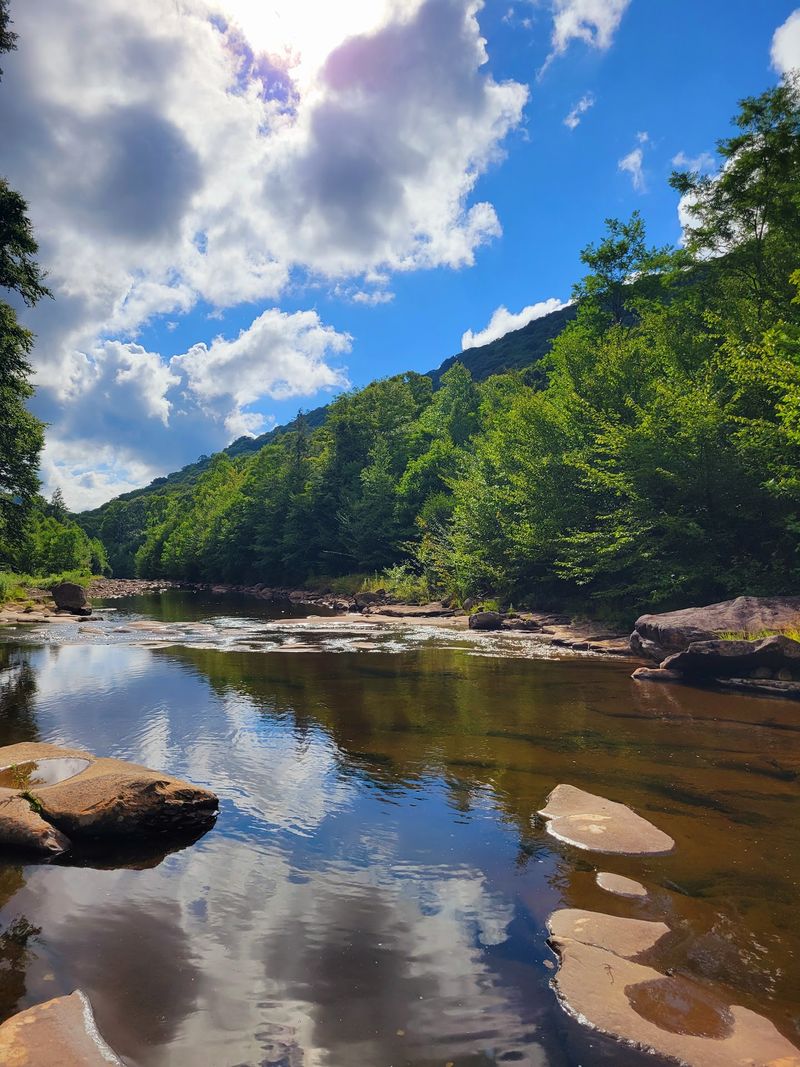
Want the wilderness without the plateau drive? Start low at Laneville and let your legs do the climbing.
The Red Creek Trail begins down in the valley near the small community of Laneville. From there, it follows the creek up into the heart of Dolly Sods.
Red Creek itself is the star, with clear water tumbling over boulders. Pools and small waterfalls appear along the way, and the sound alone is worth the effort.
Plan for stream crossings, and some don’t have bridges. After heavy rain, the water can rise fast enough to stop you, so turn back if it looks risky.
The climb is steady and real. Your reward is reaching the high meadows on foot, which feels a lot more earned than parking beside them.
Directions to this side may run through Tucker County roads near Canaan Valley. Confirm the current route with the ranger district before you head out.
Backpackers often use this approach for longer loops. Day hikers can simply follow the creek a few miles and turn around happy.
Address: Red Creek Trailhead, Laneville Road, Laneville, Tucker County, WV
8. Cheat-Potomac Ranger District Office
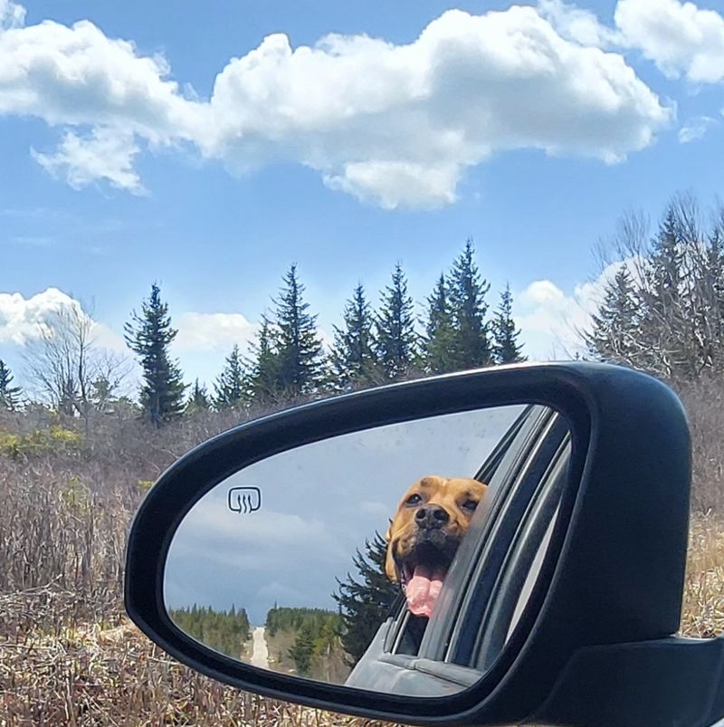
Your best travel tool might be a person behind a counter. The Cheat-Potomac Ranger District manages Dolly Sods, and its staff know the roads better than any app.
The office sits in Petersburg, the Grant County seat. It’s a logical stop on the way toward Hopeville and the eastern approach.
Ask about current road status, detours, and any new restrictions. Construction schedules can change, and rangers hear about it first.
Maps are another big reason to stop. Trail signs inside the wilderness are limited, and a good printed map can save you from a long wrong turn.
Remember those World War II shells from earlier? The Army used this area for training, and the Forest Service advises hikers not to touch any odd metal objects they find.
Instead, note the spot and report it to the district. Staff can explain the safest way to handle that kind of discovery.
Office hours can vary, so check ahead. Even a quick call before you leave home may save you a detour and a lot of grumbling.
Address: 2499 North Fork Highway, Petersburg, WV 26847
9. Seneca Rocks
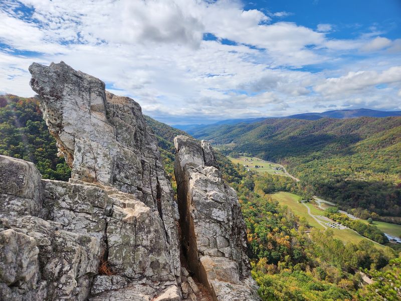
If the gravel roads test your patience, a famous rock fin is just down the highway. Seneca Rocks rises about 900 feet above the valley in Pendleton County.
This sharp quartzite formation is one of the most recognizable sights in West Virginia. It’s part of the Spruce Knob-Seneca Rocks National Recreation Area.
Climbers come from far away to tackle its routes. You don’t need ropes, though, because a trail climbs to an observation platform near the top.
That hike is steep but well built. The view down the North Fork valley makes a nice payoff.
The Seneca Rocks Discovery Center offers exhibits on geology and local history. It typically opens seasonally, so check days before planning a stop.
Nearby, the Sites Homestead shows how mountain families once lived in this valley. Interpreters have offered demonstrations there on some summer weekends.
Pairing this stop with a Dolly Sods trip makes sense geographically. Route 28/55 links the area to the eastern approach, so you can build a full weekend around one drive.
Address: Seneca Rocks Discovery Center, Seneca Rocks, WV 26884
10. Spruce Knob
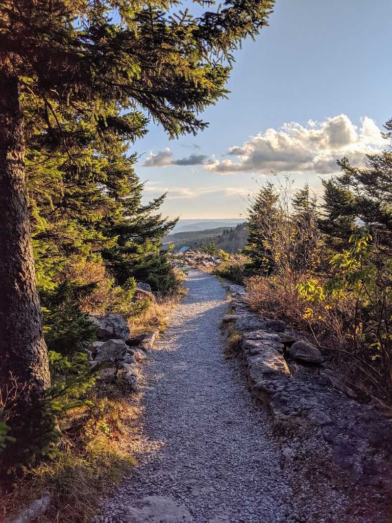
Bragging rights alert. Spruce Knob is the highest point in West Virginia at 4,863 feet.
Better still, you can drive almost to the top on a paved road. A short walk leads to a stone observation tower with views in every direction.
The half-mile Whispering Spruce Trail circles the summit. Wind-shaped red spruce trees line the path, giving you another taste of that northern look.
Spruce Knob makes a great backup plan. If a Dolly Sods road turns out to be closed or packed, this summit offers similar high-country scenery.
Spruce Knob Lake sits nearby and covers about 25 acres. Anglers and paddlers enjoy it, though swimming isn’t allowed.
Snow can close the upper road in colder months. Spring and fall weather can swing wildly too, so bring a jacket no matter the forecast.
Here’s a fun goal for your trip. Hit the state’s highest summit and its strangest wilderness in a single weekend, and you’ve got a story worth telling back home.
Address: Spruce Knob Road, Spruce Knob-Seneca Rocks National Recreation Area, Pendleton County, WV
