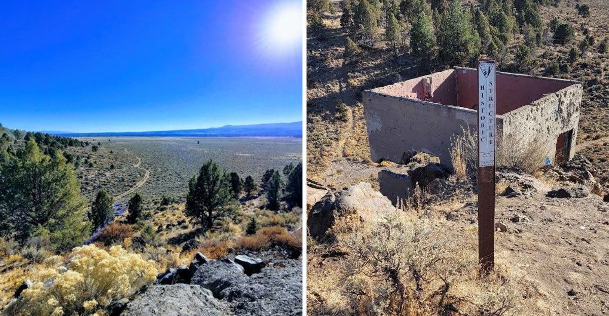
Dams aren’t supposed to become tourist attractions. This one did anyway, though not for reasons its builders would have wanted.
Failure came quickly after construction finished, water finding weaknesses nobody caught in time before the structure gave way. Ruins remain scattered across the site today, concrete fragments sitting quietly where a functioning dam once stood only briefly before collapsing entirely.
Visitors hike out specifically to see what’s left, curious about a project that failed dramatically enough to outlast its own original purpose.
Few structures earn attention through failure rather than success. This one somehow did, becoming a stop worth visiting precisely because it never worked at all in Oregon’s high desert.
The Ambitious Project That Never Held Water
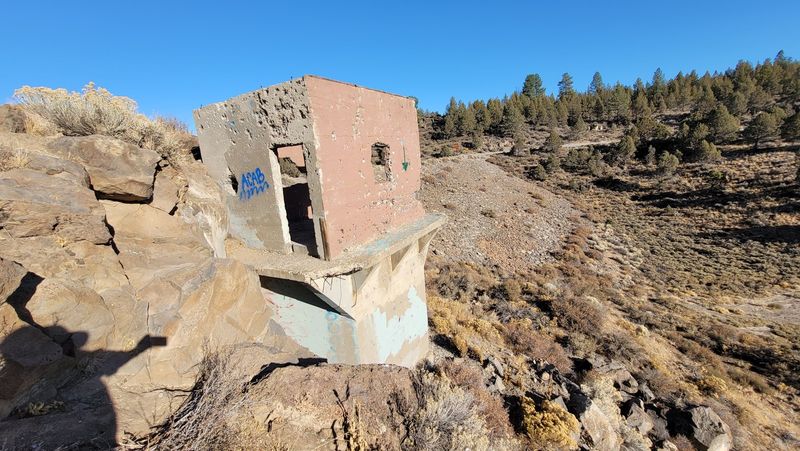
Ambition ran high across Central Oregon in the early 1900s, when farmers needed reliable water for dusty volcanic soil. The Tumalo Project was meant to settle that problem for good.
Construction wrapped up in the mid 1910s, and the dam was a serious piece of work, built to hold back Tumalo Creek and flood a wide basin behind it. The engineering of the wall itself was not really the issue. The ground was.
Once crews started storing water, the new reservoir refused to stay full, losing volume far faster than any planner had accounted for. Season after season the same disappointment repeated, and the grand storage lake promised to local farmers never truly took shape.
The storage plan was eventually set aside, and irrigators leaned on canals and other water sources to keep fields green instead.
What stands today is an odd sort of monument, a capable looking dam with no lake left to guard, sitting patiently in the sagebrush north of Bend and drawing curious visitors who want to see the story with their own eyes.
Volcanic Ground That Drinks Like a Sponge
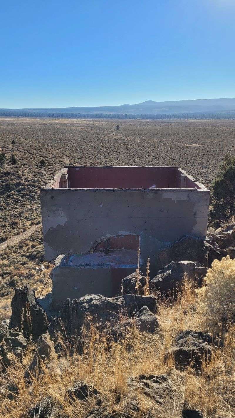
Geology takes the blame here, and honestly it earns every bit of it. The basin behind the dam rests on porous volcanic rock, the kind riddled with fractures, old lava tubes and hollow pockets that swallow water rather than hold it. Pour a lake onto that and gravity handles the rest.
Water slipped through cracks beneath the basin floor and traveled underground, resurfacing somewhere else entirely instead of pooling behind the wall. Crews tried sealing the leaks with sediment and fill material, but the ground kept winning the argument.
Central Oregon is stacked with this kind of rock, which explains the region’s lava caves, disappearing streams and springs that seem to bubble up from nowhere. Look closely at exposed stone near the site and the texture gives it away, rough and bubbly and full of tiny air holes.
Rain vanishes fast out here. Snowmelt does the same. Understanding that backstory changes everything, because the ruins stop looking like a failure and start looking like a lesson about what hides directly under your boots.
Concrete Bones Standing in the Sagebrush
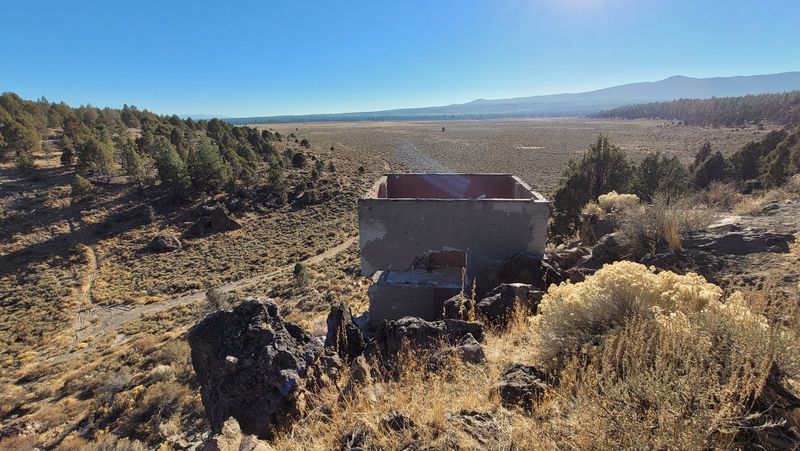
Up close, the structure is far more impressive than photos suggest. Weathered concrete, old gate works and a spillway channel still trace the outline of what engineers built more than a century ago, with rust streaks and lichen adding color to the gray surfaces.
Some edges have crumbled, though the main mass looks stubbornly permanent. Juniper roots creep near the base, and sagebrush grows right up against walls that were designed to face millions of gallons of pressure.
There is something quietly funny about that contrast. Big engineering, small shrubs, no lake. Details reward slow walking, from form marks pressed into the concrete to the hand built look of certain joints and corners.
Footing can be uneven around loose rock and old fill, so sturdy shoes make a real difference here. Climbing on unstable sections is a bad idea, since nobody maintains this as a playground and the surfaces have taken a hundred winters of freezing and thawing.
An Empty Basin Where a Lake Should Be
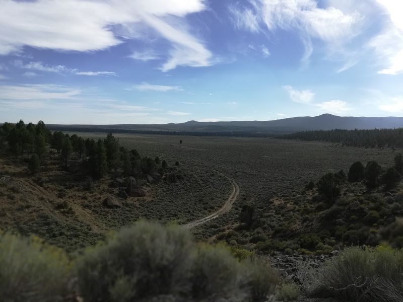
The strangest part of the whole site is not the dam. It is the emptiness behind it. A broad, flat basin stretches out where a reservoir was supposed to shimmer, filled now with bunchgrass, sage, scattered juniper and the occasional ground squirrel burrow.
Low ridges frame the edges, outlining the shoreline that never happened. On clear days the Cascades sit along the western horizon, and the contrast between snowy peaks and this parched flat is genuinely striking.
Cattle graze parts of the surrounding country, so gates and fence lines appear in places and deserve respect. Wind moves across the open ground constantly, carrying dust and the dry herbal smell of sagebrush that defines Central Oregon.
Picture the water that was meant to sit here, then picture it draining silently downward, and the scene gets oddly haunting. Bring a hat, because shade is scarce. Standing water never claimed this ground, yet the land still carries the shape of a lake that existed only on paper and in hopeful blueprints.
Wildlife That Moved In After the Water Left
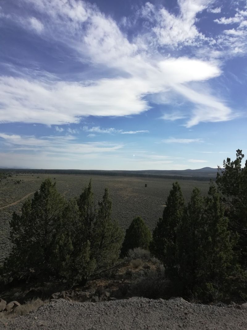
Nature rarely wastes an opportunity, and this abandoned basin turned into solid habitat. Mule deer drift through the juniper at dawn, jackrabbits bolt from under sagebrush without warning, and ground squirrels treat the old fill slopes like an apartment complex.
Red tailed hawks ride the thermals above the flat, scanning for movement below. Songbirds cluster near Tumalo Creek downstream, where cottonwoods and willows provide cover that the open desert cannot offer. Early morning delivers the best sightings by a wide margin.
Bring binoculars if wildlife interests you, since distances out here are deceptive and animals notice people long before people notice them. Rattlesnakes live in Central Oregon, so watching where hands and feet land near rock piles is simply good practice during warm months.
Coyote tracks show up in soft dirt fairly often, along with prints from deer that crossed overnight. Keeping dogs leashed protects both wildlife and livestock nearby. A failed reservoir became an accidental sanctuary, which feels like the desert quietly making its own adjustments to human plans.
Light, Shadows and Photo Angles Worth Waiting For
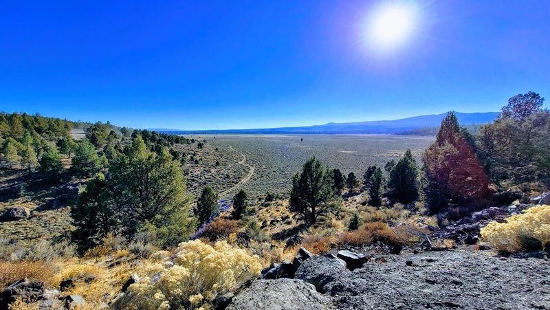
Photographers tend to fall hard for this place, and the reason is light. Low sun rakes across the concrete in the last hour before sunset, pulling out every crack, form line and rust stain that midday flattens into nothing. Shadows stretch long across the sage. Colors turn warm and gold.
Sunrise works beautifully too, especially when thin clouds catch pink above the Cascades behind the dam. Wide shots capture the absurdity of a massive wall holding back dry grass, while tight frames on weathered texture feel almost abstract.
A person standing near the base gives viewers a sense of scale that landscape shots alone cannot communicate. Winter adds frost and bare branches, and summer offers hazy heat shimmer over the basin.
Dust can be an issue on breezy afternoons, so protecting lenses when changing them is smart. Star photography is another option, since the area sits far enough from town lights for a genuinely dark sky. Patience pays here, because the scene shifts dramatically as the sun drops.
How Each Season Rewrites the Mood
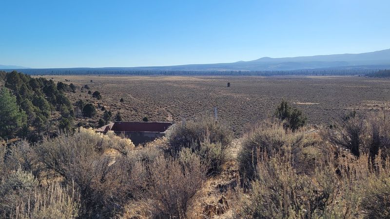
Visit in April and the basin looks almost lush, with fresh green grass and desert wildflowers scattered through the sage. Balsamroot brings bright yellow patches, and the air smells clean after spring rain. Summer swings the other direction fast.
By July the ground turns golden and crisp, temperatures climb, and shade becomes a luxury rather than a given, which makes early starts genuinely important. Autumn might be the sweet spot, with cool mornings, warm afternoons and low angled light that flatters the old concrete beautifully.
Winter transforms everything into something quieter and starker. Snow dusts the sagebrush, juniper branches hold white edges, and the dam looks even lonelier against a gray sky. Access roads can get muddy or icy in cold months, so checking conditions before driving out saves headaches.
Carry water in every season. The desert dries people out faster than expected. Layers matter here too, because Central Oregon regularly swings thirty degrees between sunrise and afternoon, and wind across the open flat adds its own bite.
Getting There Without Getting Lost
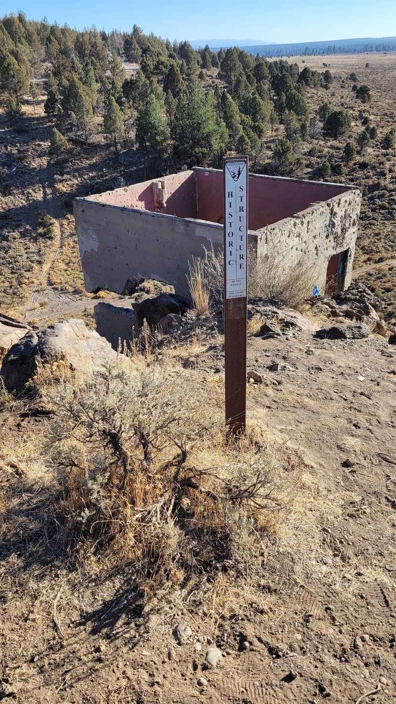
Navigation takes a little effort, which is honestly part of the appeal. The site sits northwest of Bend near the small community of Tumalo, reached by paved roads that give way to gravel and dirt as the country opens up.
Cell service gets spotty, so downloading offline maps ahead of time is a genuinely useful move. A standard car handles dry conditions fine, though ruts and washboard sections appear, and wet weather turns some stretches slick.
There are no restrooms, no water spigots and no visitor center here. Pack out everything brought in, including snack wrappers that wind loves to steal. Private land and grazing leases exist throughout the area, so paying attention to posted signs and closed gates keeps everyone on good terms.
Leaving gates exactly as found is basic backcountry courtesy in ranching country. Telling someone the plan before heading out makes sense, since this is not a place with steady foot traffic. Go early, keep expectations simple, and the quiet becomes the best part of the trip.
Tumalo Creek and the Waterfall Upstream
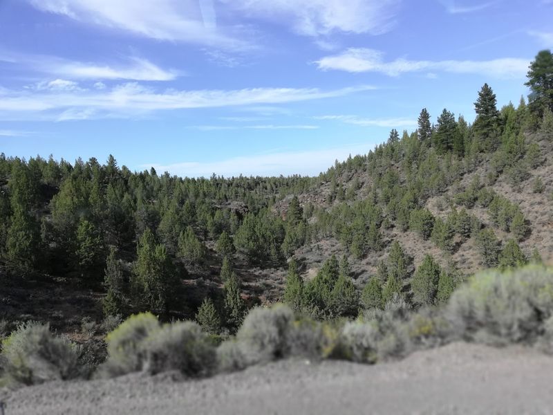
Follow the water story upstream and the landscape changes completely. Tumalo Creek runs cold and clear out of the Cascades, lined with pines and firs that feel like a different state compared to the dusty basin below.
Tumalo Falls drops nearly one hundred feet in a single white plunge, and the viewing platform sits just a short walk from the parking area. Trails continue upstream past smaller cascades for anyone wanting more mileage.
The contrast hits hard, all that rushing water above and a bone dry reservoir bed downstream. Tumalo State Park at 64120 O B Riley Road in Bend offers riverside picnic spots, shaded campsites and easy walking along the Deschutes.
Pairing the falls with the dam ruins makes for a satisfying half day loop. Forest roads to the falls typically close under winter snow, so seasonal planning matters. Seeing the creek in person explains exactly why engineers once believed a reservoir out here would work perfectly.
Turning the Ruins Into a Half Day From Bend
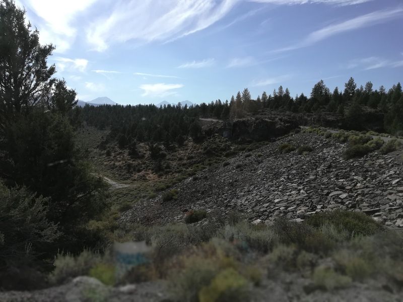
Bend makes an ideal launching point, sitting close enough that the ruins fit neatly into a morning. Coffee in town, a short drive through juniper country, an hour poking around the old structure, then back for lunch works perfectly.
Add Tumalo Falls or a stroll along the Deschutes River Trail and the day fills itself. Shevlin Park offers another easy green escape with creekside paths if time allows. What sticks with most visitors is not the size of the dam. It is the silence around it.
A century old plan sits frozen in concrete out there, surrounded by grass instead of water, telling a story about optimism meeting stubborn geology. Bring water, wear real shoes, respect fences and take the time to look at the rock underfoot.
Photographers, history fans and anyone curious about odd corners of Oregon will find something worth the drive. Point navigation toward Tumalo Dam, Bend, OR 97703, USA, and give yourself enough daylight to wander slowly.
