A 16-foot temple mound, built by hand one basket of dirt at a time, still stands in the middle of farm country. Nobody even knows what its builders called their town.
Six earthen mounds remain from a fortified village that thrived roughly 1000 to 1400 AD. Log walls with bastions once wrapped around it.
A central plaza hosted games, ceremonies, and speeches from the chief.
I like how this place doesn’t try to impress you with gift shops or crowds. It sits quietly in the Missouri Bootheel, open daily with no entrance fee.
You walk mown paths and let the land tell the story.
I can’t imagine driving past a spot like this without stopping. The fields around it look ordinary today.
So what was life like when this ground held a busy town full of people?
A Town So Old Its Real Name Got Lost
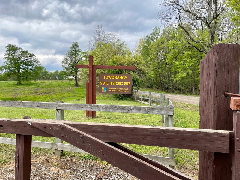
Towosahgy State Historic Site, near East Prairie in Missouri, holds the remains of a village nobody can properly name. The word Towosahgy is borrowed from the Osage language.
It was chosen in the 20th century and means old town.
The people who actually lived here never left a record of their own name for it. That missing detail makes the place feel even more mysterious.
You’re visiting a town that history forgot to label.
The site also goes by Beckwith’s Fort Archeological Site. Two names, and still not the original one.
Archaeologists clearly had to get creative.
Missouri’s state park system bought the land in 1967. Just two years later, in 1969, the site joined the National Register of Historic Places.
Officials recognized quickly that this ground was worth protecting.
The village was abandoned around the late 14th century. Researchers still wonder exactly why the people moved on.
That open question gives every visit a little detective-story energy.
Before you go, read a bit about Mississippian culture. Even a quick overview helps the mounds make more sense.
You’ll spot details faster once you know what you’re looking at.
The Temple Mound Is Bigger Than You’d Guess
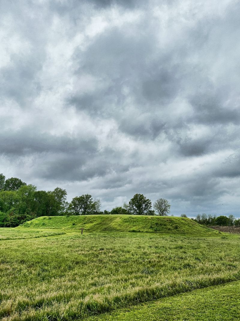
Sixteen feet tall, 250 feet long, and about 180 feet wide at its base. That’s Mound 2, often called the temple mound.
It anchors the north side of the old central plaza.
Now picture building it with no machines at all. Workers dug soil from nearby low spots called borrow pits.
Then they carried that dirt in baskets, load after load.
Try doing the math on how many baskets that took. Actually, maybe don’t.
Your arms might start aching just thinking about it.
Seven platform mounds originally stood at the site. Six are still visible today.
Each one marks a spot that mattered to the community.
Platform mounds like these often held important buildings on top. The temple mound name hints at its special role.
Its size alone shows how much effort the town put into it.
In the flat Bootheel landscape, even 16 feet stands out. The mound rises gently above the fields around it.
Bring a camera, because the shape looks great against a big open sky.
Take your time circling it. Different angles reveal how carefully the builders shaped the earth.
Two Different Cultures Called This Ground Home
Long before the big mounds went up, earlier people already liked this spot. Late Woodland folks of the Baytown culture lived here from about 400 AD to 700 AD.
They clearly knew good land when they saw it.
Then came a major glow-up. Around 1000 AD, the site became a Mississippian village and a civic-ceremonial center.
People stayed until roughly 1400 AD, which is about four centuries of town life.
Mississippian people were town dwellers with a well-organized society. They planned their community, built large earthworks, and worked together on big projects.
That kind of teamwork takes leadership and serious planning.
Food came from fields outside the village walls. Families grew maize, beans, squash, and sunflowers.
The rich soil of this region made farming a smart choice.
Today, the same soil still feeds modern farms that surround the site. It’s a neat connection across many centuries.
Farmers then and farmers now both counted on this fertile ground.
As you walk, try thinking about how long people chose this exact place. A thousand years of returning says a lot.
Some real estate never goes out of style.
Where the Whole Village Gathered
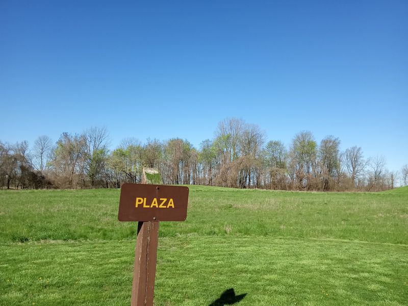
Every good town needs a gathering spot. Here, it was a central plaza with mounds arranged around its edges.
Think of it as the ancient version of a town square.
The plaza wasn’t just empty space. People used it for sports and ceremonial practices.
The chief could also stand here and speak to the villagers.
That mix of games and gatherings sounds pretty familiar, honestly. Modern towns still host ballgames and big community events.
Some habits really are timeless.
When you stand in the open area today, look at how the mounds frame it. The layout was planned, not random.
Builders clearly wanted the plaza at the heart of everything.
The space feels calm now, with grass and wide views. It’s easy to fill in the blanks with your imagination.
Crowds, voices, and celebrations once filled this ground.
Kids especially enjoy this part because it’s easy to understand. A big open field for games makes instant sense.
Ask them what sport they’d have played here.
A short pause in the center can be the best moment of your visit. Turn slowly and take in every mound around you.
Log Walls and a Moat Once Guarded Everything
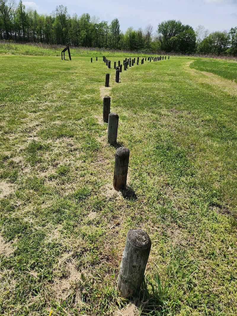
Fortified is the right word for this old town. A palisade wall of upright logs once circled the village.
An encircling moat or ditch added another layer of protection.
Archaeologists found traces of at least three, maybe four, stockade walls. They also found projecting bastions spaced about 90 feet apart.
Those bastions gave defenders a better view along the walls.
Why rebuild walls so many times? Wooden posts don’t last forever, and towns grow.
Each new wall tells a piece of the village’s changing story.
Today, short posts show where these walls once stood. They help you trace the outline as you walk.
It’s like connect-the-dots with a thousand years of history.
Follow the posts and you’ll get a real sense of the town’s size. The village wasn’t tiny.
It took serious work to wall in this much ground.
Houses inside had floors dug into shallow pits. Walls were built from small posts set into narrow trenches.
Many homes had packed clay floors and a central fire hearth.
That sounds pretty cozy for the time. Missouri winters probably felt better beside that hearth.
Pottery, Crystals, and Even Ancient Earthquakes
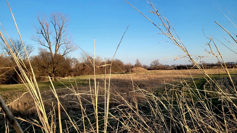
Back in 1891, Cyrus Thomas of the Smithsonian Institution led the first scientific digs here. That’s a long track record of curiosity.
Researchers have been learning from this soil for well over a century.
Pottery tells much of the story. Woodland pieces usually used grog temper, which is crushed old pottery mixed into clay.
Later Mississippian pots used crushed shell instead.
Some pieces are plain, while others are decorated. They match styles found across the Missouri Bootheel.
So this town fit into a wider regional culture.
Ceremonial items turned up too. Diggers found natural crystals, ear plugs, spools, and effigy pottery.
Those finds hint at rich traditions and personal style.
Here’s the wild part. Excavations revealed sand-filled cracks in the ground from ancient earthquakes.
They point to two seismic events between 300 AD and 900 AD.
This region sits in famous earthquake country, so that fits. The ground literally holds evidence of past shaking.
Want to see artifacts in person? Ceramic vessels from the site are displayed at the Rosemary Berkel and Harry L.
Crisp II Museum at Southeast Missouri State University in Cape Girardeau.
Signs Do the Talking When Nobody Else Is Around
No staff, no ticket booth, no guided tour. Towosahgy State Historic Site lets you explore completely on your own.
The Hunter-Dawson State Historic Site in New Madrid handles its management.
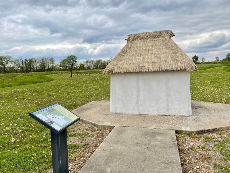
So how do you learn anything? A kiosk and exhibit panels are placed around the grounds.
Ten newer interpretive panels share updated research about the town.
The panels explain the village layout piece by piece. They help you rebuild the fortified town in your mind.
Reading them in order makes the walk feel like a story.
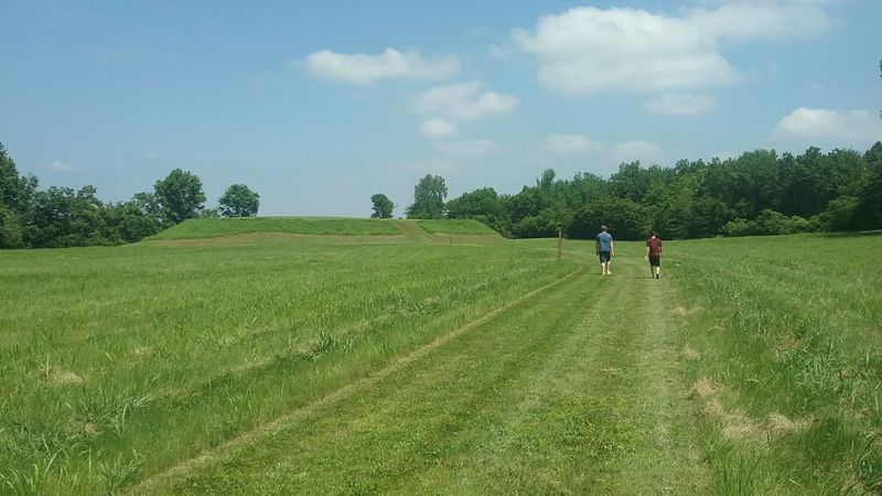
Walking paths lead through the mound field and other parts of the village. The paths are mown turf, so they’re easy to follow.
Wear sturdy shoes because some spots get uneven.
Morning visits can mean wet grass from dew. Extra socks are a smart idea.
Your feet will thank you later.
Nobody rushes you here, which is a real perk. Stop at each panel, read, and look around.
Then match what you read to the ground in front of you.
Bring a notebook if you have curious kids. Turning facts into a scavenger hunt keeps everyone busy and learning.
Pack Water, Sunscreen, and a Little Patience
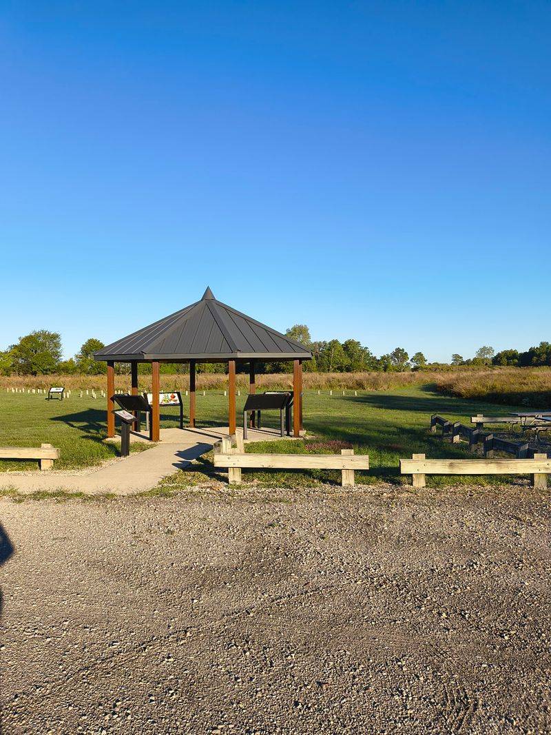
Shade is scarce out here. Most of the site is open field under a wide Bootheel sky.
Hats, sunscreen, and water belong in your bag.
You’ll find the site at County Road 502, East Prairie, MO 63845. It sits about 13 miles southeast of East Prairie in Mississippi County, Missouri.
The final stretch comes in on a gravel road.
It’s open daily from 6 a.m. until dusk. There’s no entrance fee, which makes it an easy add to any road trip.
Early birds get the soft morning light.
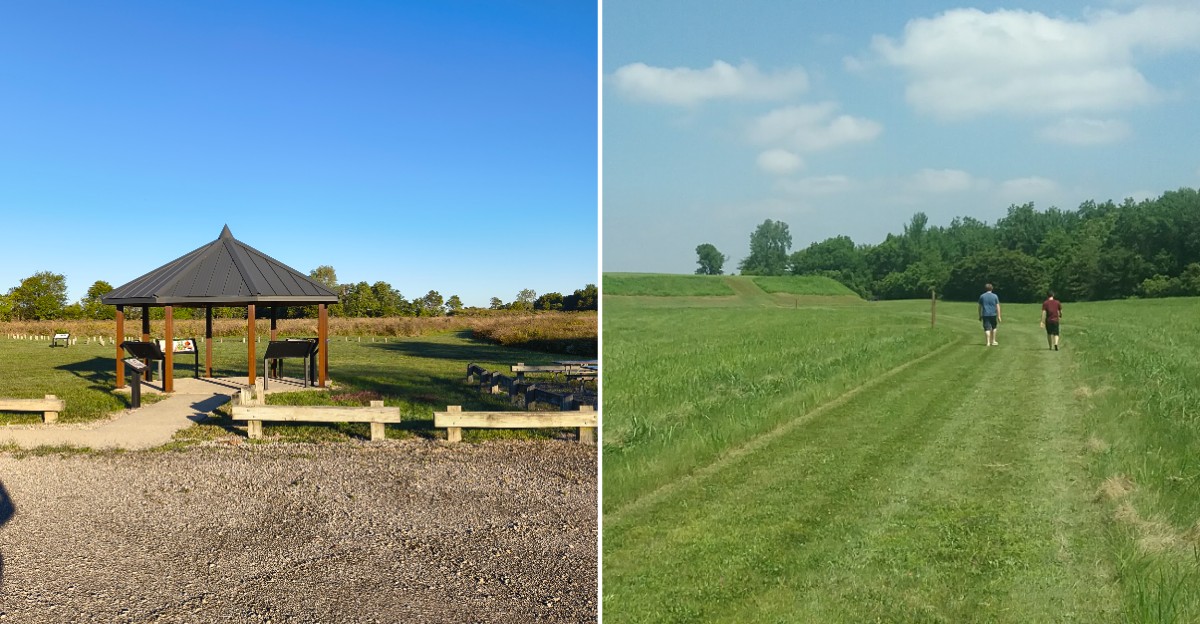
Amenities are simple but useful. There’s a gravel parking area, a modern vault toilet, and an interpretive shelter.
Picnic tables let you turn the stop into a lunch break.
A paved path leads to the shelter. Paths across the mounds are mown grass and can be uneven.
That makes the site partially accessible, so plan accordingly.
Pack your own snacks since nothing is sold on site. A cooler with drinks makes the picnic tables even better.
Clean up after yourself to keep the grounds looking great.
Check the weather before heading out. Open fields offer little cover.
Make It a Bootheel Day Trip
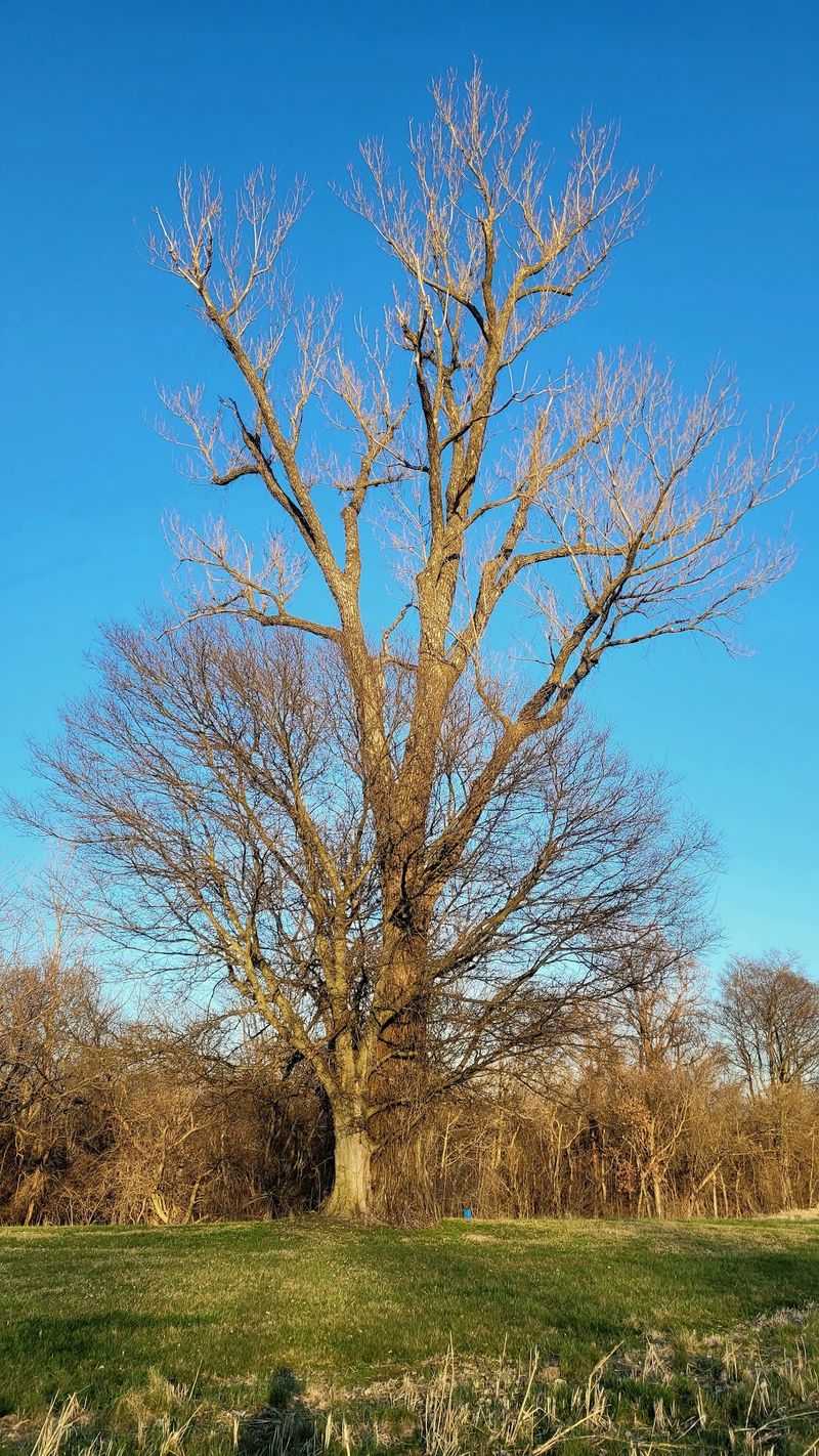
Big Oak Tree State Park sits only about four miles away. It protects remnants of bottomland forest, a rare sight in this farm-heavy region.
Going from ancient mounds to towering trees makes a great combo.
Head about 17 miles to New Madrid for Hunter-Dawson State Historic Site. That’s the team that manages Towosahgy, so it feels like a family visit.
History fans can easily fill a full afternoon.
Linking these stops turns one short visit into a real Missouri adventure. The drives between them pass wide, flat farmland.
It’s a good reminder of why people settled here so long ago.
Plan your route ahead of time. Cell service and road signs can be limited in rural areas.
A downloaded map saves plenty of headaches.
Start early at the mounds, when the light is soft and the air is cooler. Then move to the forest for shade.
Finish in New Madrid for more history.
Towosahgy State Historic Site rewards people who slow down. The quiet mounds won’t shout for attention.
But they’ve been waiting about a thousand years, so they can probably wait for you too.
