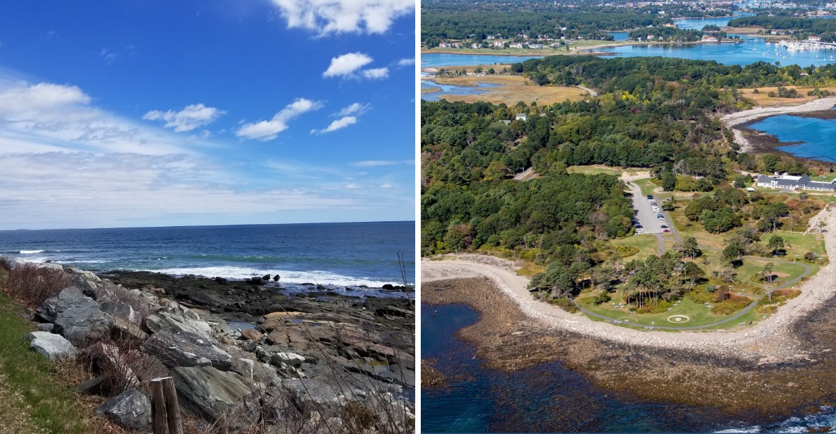
About forty homeowners on one stretch of beach sued their own state over a law about wet sand. Yes, sand.
And they won.
The fight came down to one invisible line called the high water mark. Both sides agreed the public and private shore split there.
They just could not agree on where the tide actually stops.
I like how a question that sounds so simple ended up at the top court in New Hampshire. Big groups like the Appalachian Mountain Club even jumped in with legal briefs.
The ripple effects still reach this coastline today. A country club path, a roadside sign, and a fresh parking fight all trace back to the same old question.
So who really gets to stand where the waves roll in?
Forty Neighbors Versus One Very Big Law
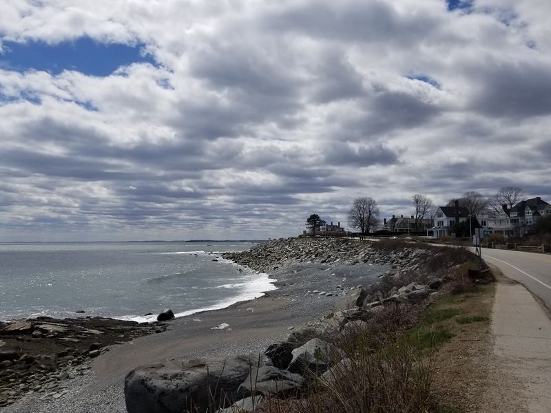
Lawsuits usually start with one angry person. The famous Rye, New Hampshire case started with around forty of them, all owning beachfront property.
Their target was a state law called RSA chapter 483-C. It defined where the public trust rights on coastal shorelands began and ended.
Owners felt the law pushed public rights too far onto their land. So they took the State of New Hampshire to court, with the Attorney General defending the law.
The case became known as Purdie v. Attorney General.
That name still shows up in law school lessons about beaches and property rights.
I find it wild that a group this size could band together over a few feet of sand. Then again, coastal land is not exactly cheap, and every foot matters to the folks paying taxes on it.
The neighbors were not trying to close the ocean. They wanted the boundary to match long-standing state law rather than a new definition.
That detail matters if you care about beach access today. Knowing why the fight happened helps you understand the rules on the sand right now.
The Judges Sided With The Homeowners Twice
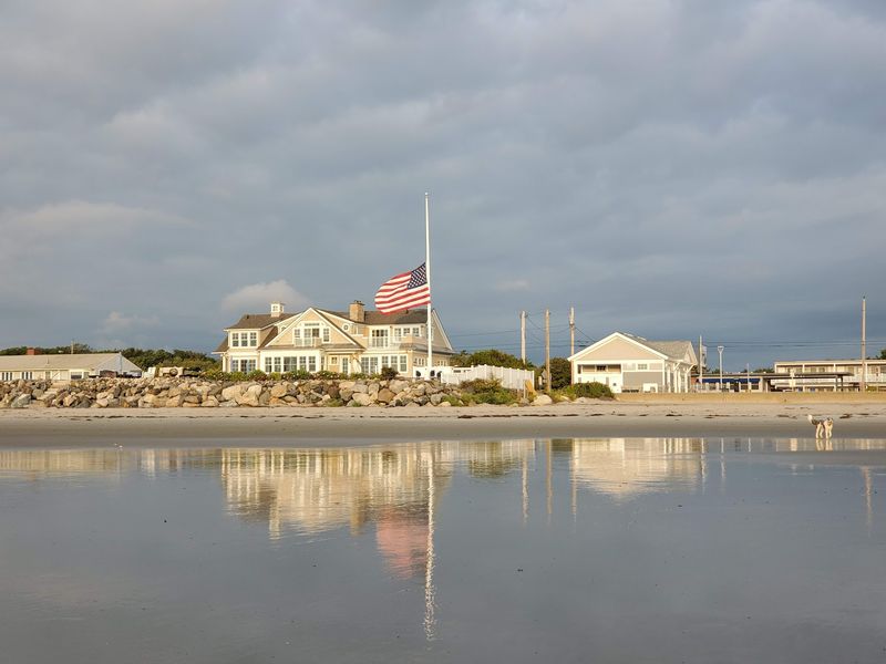
Round one went to the property owners. The trial court ruled that RSA chapter 483-C created an unconstitutional taking of private property.
The state appealed, hoping for a better result. In 1999, the New Hampshire Supreme Court affirmed the lower ruling instead.
Here is the core reasoning in plain words. The law handed private shoreland over to public use without paying the owners anything.
That broke two big rules at once. It violated Part I, Article 12 of the State Constitution and the Fifth Amendment of the U.S.
Constitution.
The Fifth Amendment says government can take private property for public use. It just has to pay fair compensation when it does.
Think of it like a neighbor borrowing your lawn forever without asking. Courts generally frown on that, even when the neighbor is the state.
Two court wins in a row made this case a heavy hitter. It still guides how New Hampshire handles shoreline rules and public access questions today.
Not bad for a dispute that began with forty neighbors and some sand.
Everything Hinged On Where The Tide Stops
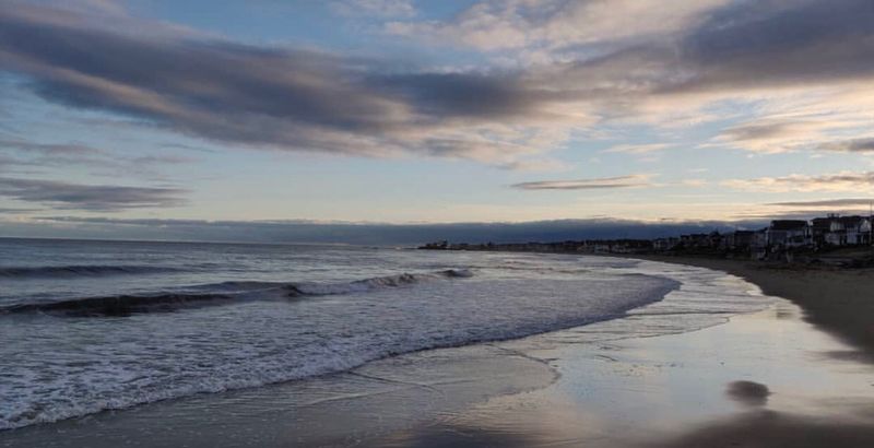
Funny thing about this huge legal battle. Both sides actually agreed on the main rule from the start.
New Hampshire common law places the public and private coastal boundary at the high water mark. Nobody argued against that idea.
The real fight was about definitions. Did the new law describe the high water mark the same way the old common law did?
The court decided it did not. The statute stretched the line in a way that grabbed land the owners already held.
So the beach at Rye has a split personality. Below the high water mark, the public has trust rights.
Above it, private property rules usually apply.
For a beach walker, that line is worth knowing. Staying on the wet, tide-washed sand keeps you on the public side in most spots.
Of course, the ocean does not paint a neat stripe. Tides shift, storms reshape sand, and seaweed lines wander all season.
That is exactly why a word like high water mark ended up in front of state Supreme Court justices.
A Roadside Sign That Marks The Line
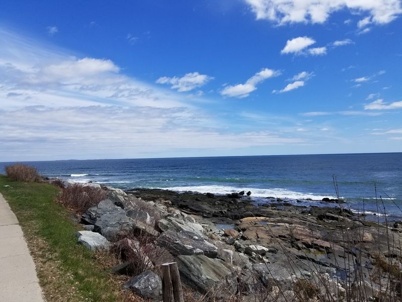
Legal ideas can feel invisible. Rye made one of them visible with a High Water Mark sign at Wallis Road near the corner of Route 1A.
It is a simple marker, but it tells a big story. Water has reached farther inland here than many drivers would guess.
Route 1A runs the full length of Rye along the coast. Portions of it are known to flood during storms and get hit by coastal damage.
That makes the sign more than trivia. It reminds you that the shoreline here is always moving, sometimes very fast.
A quick stop works as a mini history lesson for kids. Ask them where they think the ocean could reach, then point at the sign.
It also connects nicely to the Purdie case. Judges argued about the high water mark, and here is a real-world clue about how high water can get.
Just park safely and watch for traffic on Route 1A. The road is busy, especially when beach weather rolls into New Hampshire.
Nature Groups Showed Up In Legal Briefs
Some unexpected names joined the Purdie fight. The Audubon Society of New Hampshire filed a brief as an amicus curiae, or friend of the court.
So did the New Hampshire Wildlife Federation, the Appalachian Mountain Club, and the New Hampshire Rivers Council. That is a serious lineup.
Their presence shows how much was riding on the case. Shoreline rules affect people, sure, but they also shape how coastal land gets managed.
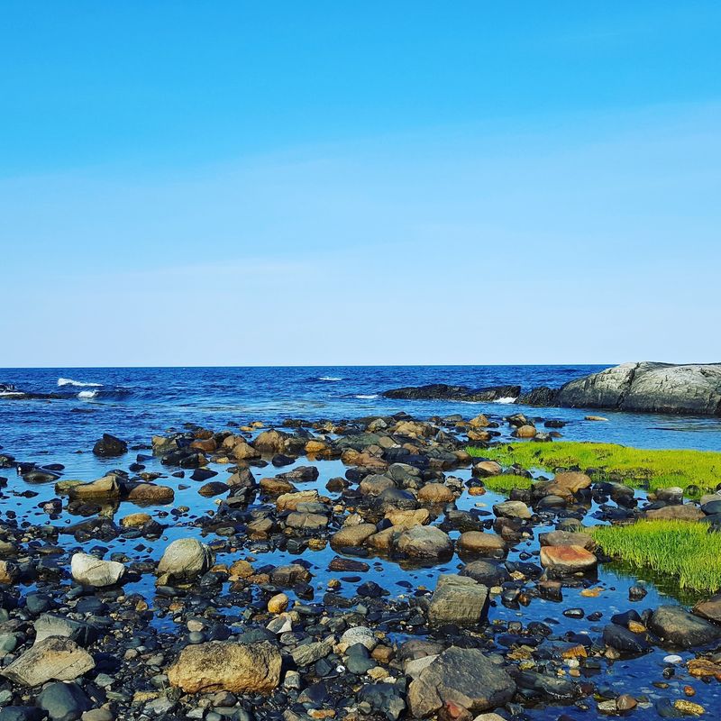
Rye’s coast holds plenty worth caring about. You will find sand and cobble beaches, bedrock outcrops, tidal wetlands, and saltmarshes.
There are also human-built pieces like seawalls and revetments. Nature and people share this shoreline in a pretty tight space.
I believe that mix explains why the case pulled in so many voices. Nobody wanted to see the rules on this coast written carelessly.
If you visit, take a moment to notice the different shore types. A cobble beach and a saltmarsh feel like two separate worlds, even a short drive apart.
Bring binoculars. Those Audubon folks clearly had their reasons.
The Earlier Bill That Tested The Waters
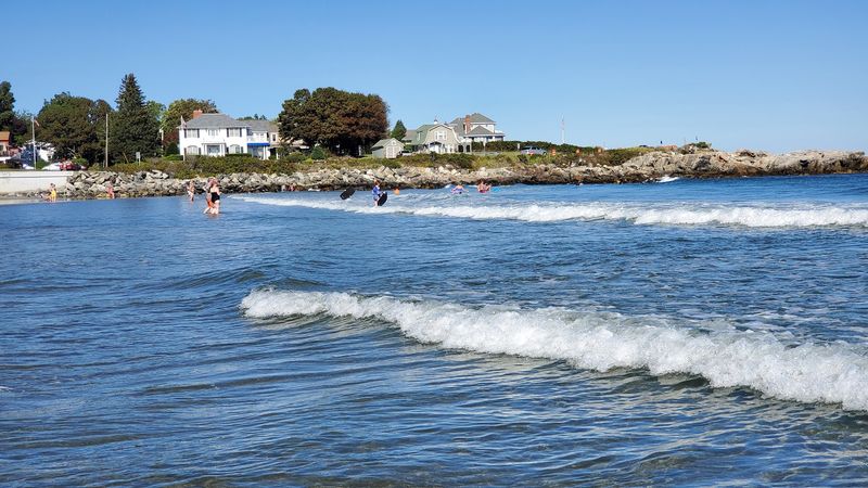
Before the forty owners sued, lawmakers had already poked at this issue. In 1994, the New Hampshire Supreme Court gave an advisory opinion on a proposed beach bill.
That opinion is called Opinion of the Justices, Public Use of Coastal Beaches. Lawmakers wanted to know if their idea counted as a taking.
The bill aimed to recognize tide-washed shorelands as public trust land. It also proposed a public easement across private land in certain spots.
That easement would cover coastal beaches or dry sand areas where public access had traditionally existed. It was a bold move.
Asking the court first was a smart step. It is like checking the weather before planning a beach day.
The answer came back cautious about taking private land without payment. That same concern later sank RSA chapter 483-C in the Purdie case.
So the 1999 ruling did not come out of nowhere. It followed years of careful back-and-forth between lawmakers, judges, and coastal property owners.
History buffs, this is your rabbit hole. Pack snacks.
A Golf Club Path Opened A Different Door
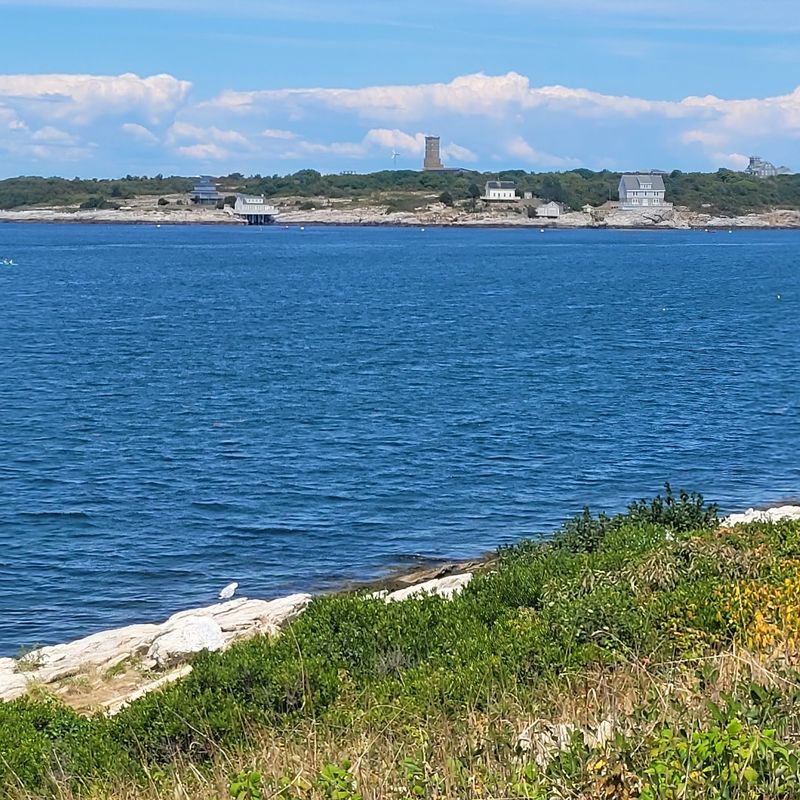
Plot twist. In 2016, the New Hampshire Supreme Court ruled in favor of public access at Little Harbor beach in Rye.
This time, the public came out ahead. People could reach the beach from Sanders Poynt by crossing land owned by the Wentworth by the Sea Country Club.
The case started in Superior Court with Robert Jesurum, a 24-year Rye resident. He pushed to protect a path people had long used.
The court pointed to uncontradicted evidence of public use since at least 1976. The Town of Rye had also posted signs and regulated the area since 1995.
Long, steady use built a strong case. Decades of folks walking the same route turned into a legal right.
The judge’s order hinted that access might include parking and boat launching. The exact details were left to be worked out later.
Compare that with Purdie, and you see the balance. Private land rights matter, yet long public habits can matter too.
One town, two very different outcomes. Rye keeps things interesting.
Parking Spots Became The Newest Battle

Ninety free parking spaces. That number sparked one of the latest shoreline debates in Rye.
The town removed roughly that many roadside spots along Ocean Boulevard and nearby streets. Officials pointed to traffic safety concerns as the reason.
Plenty of people pushed back hard. Governor Kelly Ayotte then directed the New Hampshire Department of Transportation to restore nearly all of the spaces.
The Surfrider Foundation New Hampshire Chapter helped lead a grassroots campaign. Its members asked for a balance between safety and fair public access.
Their argument was simple. If you cannot park, you cannot really reach the beach, especially without a nearby home.
They noted that tighter parking hits non-residents and lower-income families the hardest. That point struck a nerve with many beachgoers.
The restored spaces felt like a win, though not a permanent fix. Advocates still see more work ahead.
Notice the pattern? From property lines to parking, Rye keeps asking who gets to enjoy the coast.
Arrive early and park legally either way.
Plenty Of Shore Still Belongs To Everyone
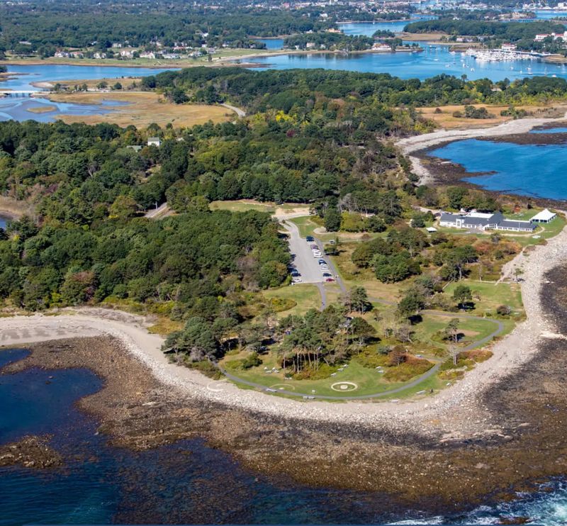
All this court drama might sound gloomy for beach lovers. Good news, though, because a 1999 report found 78 percent of New Hampshire’s shoreline was publicly owned.
That same report counted 157 public access sites. It worked out to about one site for every 0.8 miles of tidal shoreline.
Rye itself is home to several state parks along the Atlantic coast. It also has public parks and beaches that welcome visitors.
The town supports a lively beach tourism economy. A working waterfront keeps fish and shellfish businesses going strong.
Restaurants and recreational spots round things out. You can easily fill a whole day here without touching a private lawn.
My tip is simple. Stick to marked public areas and posted access points, and you will skip any awkward property-line confusion.
The Purdie case drew clear lines, and those lines help everyone. Owners know their rights, and visitors know where to roam freely.
So go ahead and walk that shoreline. Rye, New Hampshire spent decades sorting out the rules so you can.
