A bike trail that makes you forget you are still in the city is a rare find. These nine Central Texas trails do exactly that.
They wind through wooded areas, along creeks, and past open fields that make you feel like you have traveled much farther than you actually have. Some are smooth and paved, perfect for a casual ride.
Others are rougher, meant for mountain bikes and a little more adventure. But all of them offer a chance to unplug, get some fresh air, and see a side of Texas that feels hidden.
No long drives required. Just a bike, a helmet, and a willingness to explore.
It is the kind of ride that clears your head and reminds you why you love being outside. Grab your gear and go.
The trails are waiting.
1. Pine Gulch Trail
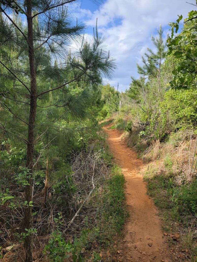
Riding Pine Gulch feels like watching nature write a comeback story in real time. This trail moves through a landscape that is still healing from wildfires that tore through in 2011 and 2015, and the young pines pushing up through the understory give the whole place an almost hopeful energy.
Spring brings bursts of wildflowers across the open sections, turning what might look sparse on a map into something genuinely beautiful.
East of Park Road 1C, the terrain stays mostly flat with hardpacked dirt underfoot, occasionally threading past small ponds and narrow streams after recent rain.
The mood shifts considerably once you cross to the western sections, where short but steep climbs and descents, tighter turns, and rocky patches demand more attention.
The trail itself runs approximately 1.6 to 4 miles depending on which segment you follow, carrying an intermediate blue difficulty rating with around 198 feet of elevation gain.
Pine Gulch connects naturally with the Winding Woodland Trail and Roosevelt’s Cutoff, both of which add character and mileage to the experience. The Winding Woodland Trail tunnels beneath a canopy of mature oak and cedar, rooty and shaded.
Roosevelt’s Cutoff cuts through stands of loblolly pines that escaped the fires entirely, offering rockier tread with satisfying dips and rolls. Over 250 bird species call this ecosystem home, and armadillos, raccoons, and bobcats make occasional cameos along the edges of the path.
The trail is open to mountain bikers, hikers, and trail runners, with leashed dogs welcome throughout.
Address: 100 Park Road 1E, Smithville, TX 78957
2. Goodwater Loop
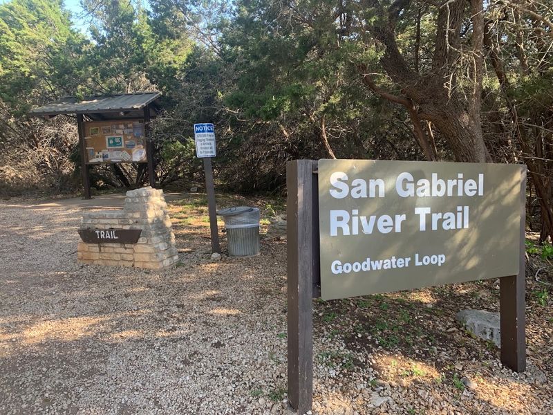
Few trails in Central Texas have earned their reputation quite like the Goodwater Loop. Encircling Lake Georgetown in a nearly 26-mile circuit, this trail holds EPIC designation from the International Mountain Biking Association, a title it wears honestly.
Cedar Breaks Park serves as the most popular launching point, and from the very first mile, the terrain makes clear that it is not messing around.
The trail’s signature feature is its so-called Cheese Grater limestone, jagged rock sections that reward confident riders and humble everyone else.
Much of the loop stays relatively flat, but short and steep punchy climbs appear without much warning, and the surface shifts constantly between dirt track and full limestone exposure.
Wide meadows open up between dense stretches of juniper and oak, and Lake Georgetown glimmers almost continuously on one side, offering views that feel genuinely earned.
Certain doubletrack sections pull back to reveal sweeping vistas of the San Gabriel River prairies, while the singletrack portions weave tightly through cedar and prickly pear along the waterline. History shows up in unexpected places here too.
The loop passes an old homestead, crosses a creek at Crockett Gardens lush with ferns, and traces old rock walls with historical markers explaining who once worked this land. Primitive camping areas dot the trail for those wanting to stretch the adventure into an overnight.
White-tailed deer, armadillos, and the occasional bald eagle share the space with riders. Multiple trailheads provide flexible access for shorter loops or full-day commitments.
Address: 2100 Cedar Breaks Rd, Georgetown, TX 78633
3. McKinney Roughs Nature Park
About 13 miles east of Austin-Bergstrom International Airport, the Colorado River bends through a stretch of land that genuinely surprises people who expect Central Texas to look a certain way.
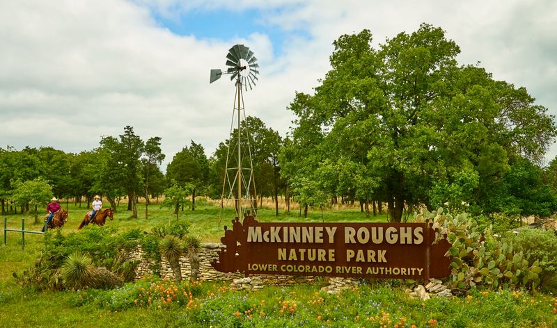
McKinney Roughs Nature Park sprawls across more than 1,100 acres and carries over 18 miles of multi-use trails through terrain that shifts constantly, from dense forest to open meadow to rugged hillside, sometimes within the same mile.
The elevation drops roughly 200 feet from the upper trails down to the river level, and that descent is rarely gentle. Mustang Ridge, Overlook, and Cottontail are the go-to routes for riders who want rocky ridge singletrack with quick up-and-down grade reversals that keep the legs guessing.
Roughs Ridge Trail earns its name with sustained steep climbing, while Pine Ridge Loop offers a more forgiving spin through shaded woodland for anyone who wants to ease into the afternoon.
The park sits within the Post Oak Savannah Ecosystem and touches the rare Lost Pines landscape, a detail that explains the almost disorienting variety of scenery. Closer to the river, moisture feeds a thick carpet of greenery that feels nothing like the dry hillsides above.
Bluff Trail Overlook sits 82 feet above the water, and Meditation Point is widely considered the best river view in the entire park. A Giant Pecan Tree measuring nearly 12 feet in circumference marks one of the trail’s quieter moments.
Deer, armadillos, and a broad range of bird species are regular trail companions. Spring and fall deliver the most comfortable conditions for a full day of riding.
Address: 1884 State Hwy 71, Cedar Creek, TX 78612
4. Purgatory Creek Natural Area
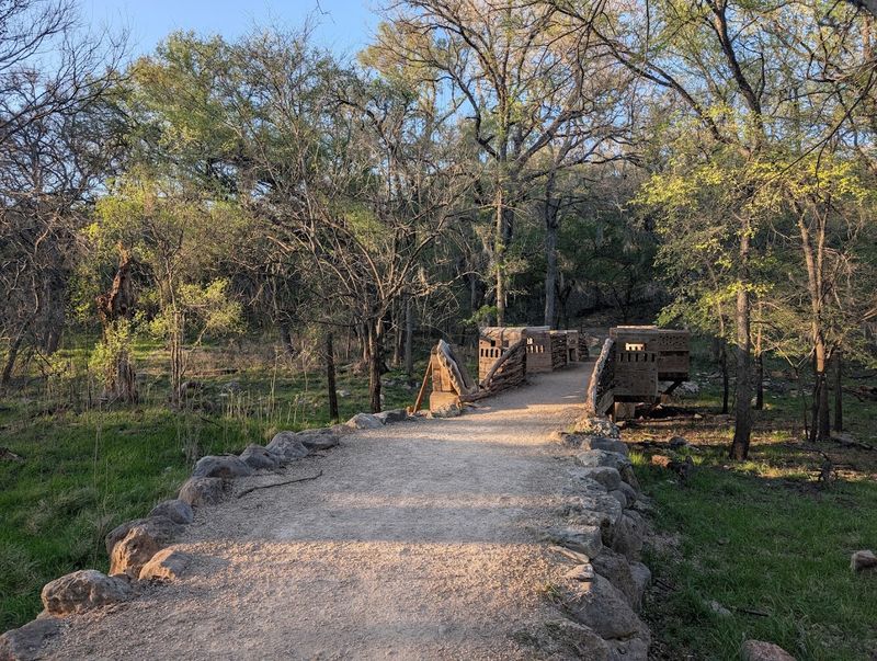
The name alone sets expectations, and Purgatory Creek mostly delivers on them.
Hidden into San Marcos across more than 700 acres of preserved Hill Country terrain, this natural area draws seasoned mountain bikers and trail runners who appreciate a trail system that does not apologize for its difficulty.
The main artery, called Dante, threads through and connects to a web of smaller loops including Beatrice, Ovid, Ripheus, Paraiso, and Malacoda.
Most of the singletrack here runs mellow in grade but absolutely not in texture. Large unavoidable rocks demand constant attention, and certain sections earn a black difficulty rating for good reason.
The elevation change stays modest overall, but specific climbs arrive with enough punch to remind you that you are not in a city park. An ADA-accessible crushed limestone trail was added in 2019 via the Upper Purgatory trailhead, making part of the preserve reachable for a wider range of visitors.
Canyon bluffs rise 40 feet or more above the creekbed in places, and where Malacoda and Paraiso trace the water’s edge, Purgatory Creek has carved a grand grotto directly into the limestone. That feature alone is worth the detour.
An overlook along the trail delivers a wide view across the creek’s canyon, and informational signs placed throughout make the experience feel less like a workout and more like a genuine exploration.
Golden-cheeked warblers nest in the Ashe Juniper here, and certain trails close from March through May each year to protect them during breeding season.
White-tailed deer, hawks, and woodpeckers round out the wildlife list.
Address: 2102 Hunter Rd, San Marcos, TX 78666
5. Violet Crown Trail (290 Trailhead)
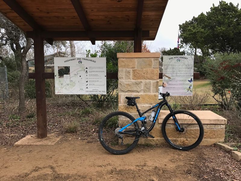
Austin has no shortage of greenbelts, but the Violet Crown Trail at the 290 Trailhead operates on a different level.
The broader Violet Crown Trail project is a 30-mile corridor connecting Zilker Park to Hays County, and its first 13-mile phase from Zilker to the Lady Bird Johnson Wildflower Center is already complete.
A 13-mile extension from Circle C Park into Hays County started construction in fall 2025 and is expected to open by summer 2026, which makes this a trail actively growing in real time.
The section near the Brodie Lane and US-290 intersection is where mountain bikers tend to linger longest. Technical switchbacks and steep climbs dominate this stretch, earning an endorsement from the National Interscholastic Cycling Association.
Rocky switchbacks drop away from the trailhead with the kind of commitment that weeds out the casual riders pretty quickly. That is not a criticism.
It is what makes this spot feel earned.
The natural surface sections present uneven, rocky terrain with sharp curves and steep slopes, and creek crossings can become genuinely impassable after heavy rain.
Other segments shift to crushed granite and concrete sidewalks through more urbanized areas, widening access for road bikes and wheelchair users.
The trail threads through the Barton Creek watershed and the Gaines Creek Greenbelt, protecting the Edwards Aquifer and providing habitat for the federally endangered Golden-cheeked Warbler.
Wooden footbridges, striking rock formations, and a stretch passing beneath the 360 bridge decorated with murals give the route a character that is distinctly Austin, wild and urban at the same time.
Address: 4958 W US Hwy 290 Service Rd, Sunset Valley, TX 78735
6. Slaughter Creek Preserve
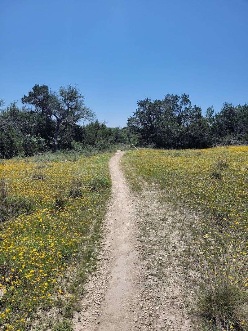
South Austin has a habit of hiding its best things in plain sight, and Slaughter Creek Preserve is a good example of that tendency.
Hidden off RM 1826 near the Circle C Ranch neighborhood, this 100-acre preserve exists primarily to protect water quality flowing into the Edwards Aquifer, but it has quietly become one of the more enjoyable quick-escape rides in the city.
The automatic gate off the main road is easy to miss, which somehow adds to the feeling that you have found something others drove right past.
The 5-mile singletrack loop reads as easy to intermediate on paper, but the variety keeps it interesting. Flowy rolling sections give way to stair-steppy drops and rock gardens without much transition time.
The ground is mostly hard black dirt and rock, which drains reasonably well, though the trail closes after rain to protect against erosion. A cutoff option trims roughly 2 miles off the loop when time is short or legs are heavy.
The trail moves between shaded cedar and oak groves and wide open fields in a rhythm that never quite lets you settle into autopilot. Modest bluffs rise above a creekbed, and from certain points the Austin skyline appears through the trees, a reminder of how close civilization actually is.
Spring transforms the open sections with magenta phlox, blue-eyed grass, and clusters of purple alliums. Roadrunners are a regular sighting, and butterflies arrive in numbers that border on theatrical during peak wildflower season.
Cyclists ride clockwise, hikers and equestrians counter-clockwise, keeping everyone moving smoothly.
Address: 9900 RM 1826, Austin, TX 78739
7. Reveille Peak Ranch
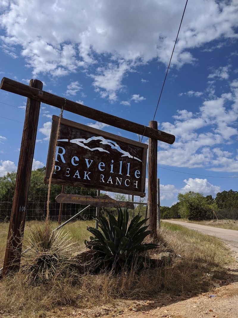
Granite riding in the Texas Hill Country hits differently, and Reveille Peak Ranch outside Burnet is where that statement gets proven repeatedly.
The soil here literally sparkles with quartz from the Llano Uplift geological formation beneath, and the trails have been hand-cut across more than 60 miles of rideable terrain through a working 1,300-acre ranch.
Lake Buchanan and Inks Lake sit in view from the higher elevations, and on a clear day the panorama is the kind of thing that makes you stop pedaling just to look.
The trail network runs from green beginner routes to blue intermediate paths to genuine black diamond lines that will test anyone.
Technical singletrack, gravity runs, steep drops, and tight switchbacks alternate with smoother, flowy sections and grassy stretches where streams cut through stands of trees.
The Race Loop ties roughly 8.5 miles of the system together in a satisfying circuit, while the Upper Loop and RPR Loop push into more demanding granite territory.
An elevated pump track modeled after Whistler’s design and a flow track just over a mile long round out the options for riders who want variety without committing to a full cross-country effort.
One of the more practical advantages here is that the granite and gneiss composition drains water almost immediately, meaning the trails often ride well even shortly after rain.
Free-roaming cattle occasionally share the paths, which adds a layer of unpredictability that somehow fits the ranch atmosphere perfectly.
Camping is available from primitive sites to mini-cabins, making an overnight stay easy to justify. Bring your own water for the trails because none is available once you leave the trailhead.
Address: 105 CR 114, Burnet, TX 78611
8. Flat Rock Ranch
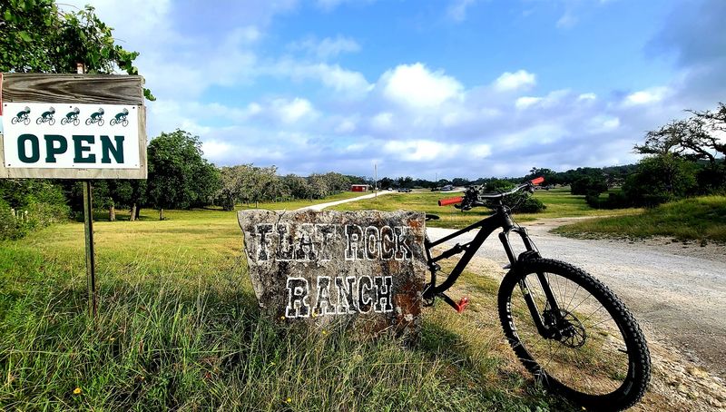
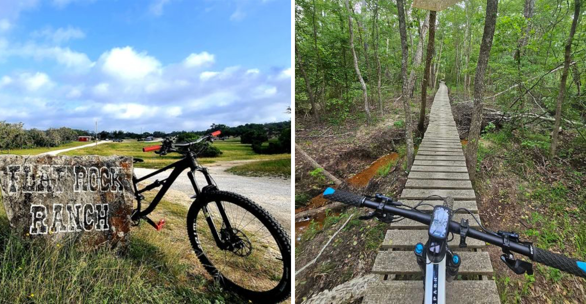
Comfort, Texas is not the first place most riders think of when planning a Hill Country bike trip, and that is exactly what makes Flat Rock Ranch such a pleasant discovery.
Sitting roughly 45 minutes northwest of San Antonio and about 90 minutes from Austin, this private ranch has been shaped into a mountain biking destination over decades of trail building by Jimmy, the great-grandson of the original owner.
That generational investment shows in how thoughtfully the routes move through the landscape.
Over 30 to 44 miles of directional singletrack spread across the property in three main loops.
The 18-mile cross-country lower loop and the 15-mile upper loop serve intermediate and advanced riders well, while the 11-mile green arrow loop gives beginners a genuine option rather than a token consolation route.
Eleven separate downhill Enduro lines add spice for riders who want gravity on their side. The terrain is classic Hill Country, with rolling rocky hills, limestone cliffs, jarring rock gardens, long downhill stretches, and creek crossings that are typically dry in summer but can surprise after rain.
The scenery carries a quality that is hard to pin down. Rolling hills covered in juniper, mesquite, and persimmon, with native grasses filling the spaces between, create views that more than one rider has compared to European countryside.
I found myself stopping at a ridge lookout mid-ride just to take it in properly. Black Angus cattle and Angora goats roam the property freely, and sharing a trail with a goat is an experience worth having at least once.
A waiver and helmet are required, and dogs are not permitted on the trails.
Address: Flat Rock Creek Rd, Comfort, TX 78013
9. Lindsey Park
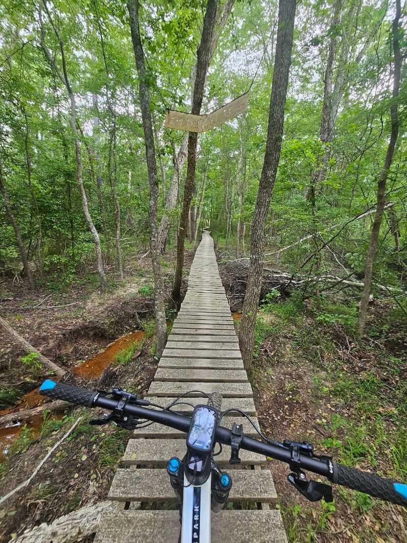
East Texas runs greener and quieter than most of the state, and Lindsey Park in Tyler leans fully into that identity. Covering 423 acres along Spur 364 West, the park hosts 15 miles of singletrack that earned a Top Ten Trail in Texas designation from Mountain Bike Trail Project back in 2019.
That recognition still feels accurate. The trails here have a flow to them that is genuinely rare, the kind where momentum builds naturally and the path seems to carry you rather than fight you.
Wider than many comparable local trails, the singletrack allows for smoother passing and a more relaxed overall experience without sacrificing challenge. Descending, climbing, high-speed cornering, and sand navigation all get tested across the A, B, C, and D loop sections.
Roots, sandy corners, and tight turns keep intermediate riders engaged, and the longest continuous route stretches to about 15 miles if you consistently take right turns at every fork. A Full Loop option clocks in around 13 miles for those who want a defined circuit.
The trail infrastructure here is well built. Berms, jumps, skinnies, bridges, drops, and ladder bridges appear throughout, and Creekside doubles offer wooden ramp-to-table-to-lander jumps that are genuinely fun on a capable bike.
The B Loop holds water longer after rain, but a bypass keeps things moving. Wooded sections alternate with open fields, including a stretch under power lines that feels oddly peaceful.
Squirrels, rabbits, deer, and a variety of birds share the park with riders. Beyond the trails, a full spread of sports facilities makes Lindsey Park a reasonable destination for families with mixed interests in the group.
Address: 12557 TX-364 Spur W, Tyler, TX 75709
