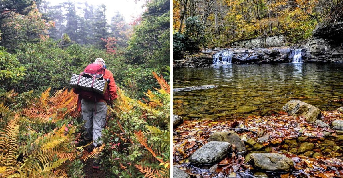
There is a stretch of Appalachian backcountry where the fog sits low in the valleys until almost noon, and the only sound for miles is water tumbling over sandstone.
I went looking for big overlooks and ended up falling for the small stuff instead: red-tinted waterfalls, mossy bogs, staircases built into a canyon wall, and hemlocks so tall they make you feel like a kid again.
What surprised me most was how many of these trails sit just a short drive from the busy, photo-famous spots, yet feel completely forgotten.
Some of them require fording a creek, and a few ask for real effort, but the payoff is quiet in a way that is hard to find anymore.
I kept a running list of the ones worth going back to, and it turned into a proper hiking plan for next year.
If you like your trails a little rough around the edges, this one is for you.
1. Kaymoor Miners Trail And Its 821 Steps
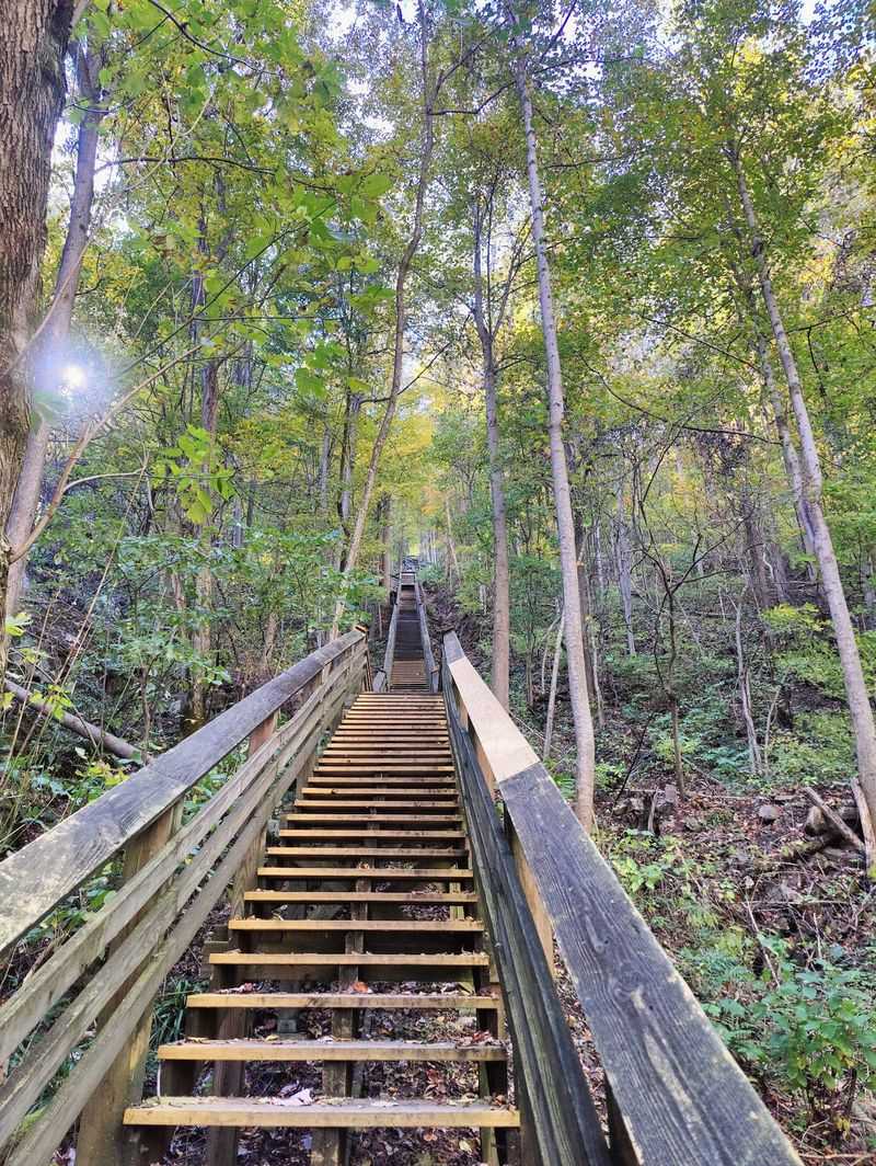
Few trails in the state hand you a history lesson and a leg workout at the same time. The Kaymoor Miners Trail drops about 900 feet in a single mile, mostly by way of 821 wooden steps bolted into the gorge wall.
At the bottom sits the abandoned Kaymoor Mine, along with a coal processing plant, coke ovens, and traces of a vanished mining town. It is strenuous, and the climb back up is the real test.
Roughly 0.2 miles in, before the staircase begins, there is a viewpoint over the gorge that is worth pausing for even if you turn around there. The longer Kaymoor Trail runs 8.6 miles and follows old roadways and railway grades, passing waterfalls along the way.
Bring more water than you think you need. Knees will complain, but the industrial ruins tucked into thick forest make this one of the most unusual walks in the park.
Address: Kaymoor Top Trailhead, Kaymoor No. 1 Road, Fayetteville, WV
2. Hawks Nest Trail, Where The Tram Does The Hard Part
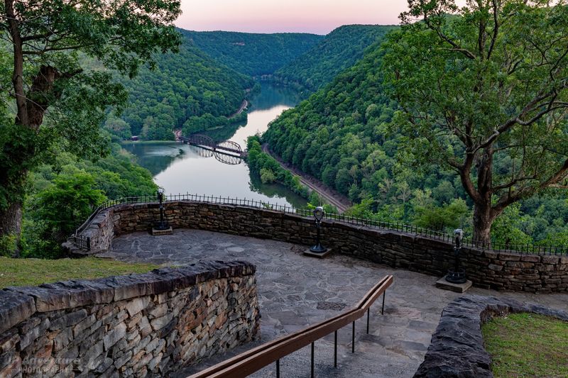
Here is the rare hike that lets you cheat on the way back. Hawks Nest Trail runs about 1.8 miles out and back, rated easy, starting near the nature center inside Hawks Nest State Park.
Bridges, small waterfalls, and remnants of old coal mines line the route, so there is plenty to look at without much climbing. When the tram is running, you can walk down and ride back up to the top, which changes the whole feel of the outing.
That combination makes it a smart pick for mixed groups, whether you are hiking with grandparents or kids who lose steam halfway through anything. The park itself is known for its wide views of the New River, and the overlook near the lodge is a stop worth making before or after.
Go on a clear afternoon if you can. The light through the gorge is softer then, and the old mine remains feel a little more mysterious.
Address: Hawks Nest State Park, 49 Hawks Nest Park Road, Ansted, WV 25812
3. Big Stonecoal Trail For A Quieter Side Of Dolly Sods
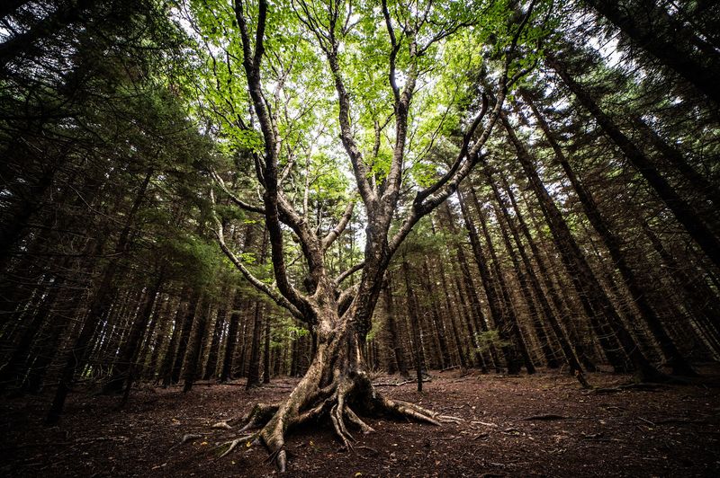
Dolly Sods gets all the attention for its windswept, almost tundra-like plateaus. Big Stonecoal Trail goes the other way, sliding into 4.3 miles of pine forest, springs, and creek crossings in the northern part of the wilderness.
It is one of the less strenuous options out there, which makes it a good introduction to an area that can otherwise chew up unprepared hikers. Campsites appear at intervals along the route, so overnighters have options.
Connections to the Breathed Mountain and Blackbird Knob trails mean you can stitch together a longer day or loop if you have the energy and a good map. Signage in wilderness areas is minimal by design, so a paper map and compass are genuinely useful here.
What sticks with me about this corner of the Monongahela is the sound. Water, wind through spruce, and not much else.
Weather flips fast at this elevation, so pack layers even in summer.
Address: Dolly Sods Wilderness, Cheat-Potomac Ranger District, 2499 North Fork Highway, Petersburg, WV 26847
4. Cranberry Glades Boardwalk And Its Strange Little Bog
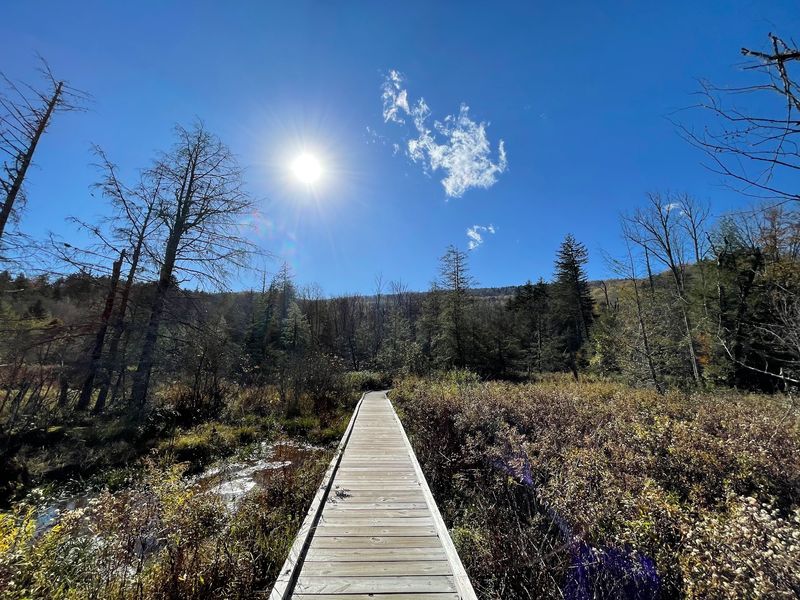
Not every memorable hike involves sweating up a mountain. The Cranberry Glades Boardwalk is a flat, half-mile accessible loop through the largest area of bogs in West Virginia, and it feels nothing like the rest of Appalachia.
Sphagnum moss wetlands stretch out on both sides, more like something you would expect far to the north. Carnivorous sundews grow here, tiny plants that trap insects, and more than 60 plant species have been recorded in the area.
Mountain views frame the edges of the glades, which gives the whole place a sunken, secret quality. Interpretive signs along the boardwalk explain what you are looking at, and that context turns a short walk into something you will remember.
Strollers and wheelchairs can manage this one, which matters. It is also a great stop for anyone traveling with kids who need a win.
Pair it with a visit to the nearby Cranberry Mountain Nature Center for background on the bog ecosystem.
Address: Cranberry Glades Botanical Area, Forest Service Road 102, Hillsboro, WV 24946
5. Seneca Creek Trail, Wet Boots Guaranteed
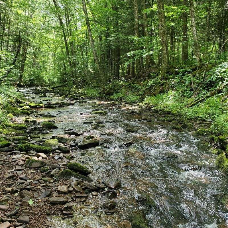
Leave the waterproof socks at home, because this trail does not care. Seneca Creek Trail stretches about 5 miles and requires fording the creek several times, since there are no footbridges.
The whole route hugs a fast mountain stream full of rapids, natural pools, and waterfalls, and plenty of spots along the way are deep enough for a swim on a hot day. Remote forest and rocky wilderness surround the path, which keeps the crowds thinner than you would expect for something this pretty.
Most visitors to the region head straight for the famous rock formations nearby, then drive off without ever seeing this valley. Their loss.
Water levels matter here. After heavy rain, crossings get dicey, so check conditions and skip it if the creek is running high.
Sturdy shoes you do not mind soaking, plus a dry pair waiting in the car, make the day much better. The drive in on gravel forest road takes a while, so start early.
Address: Seneca Creek Trailhead, Forest Road 112, Monongahela National Forest, WV
6. Elakala Falls And Its Tea-Colored Water
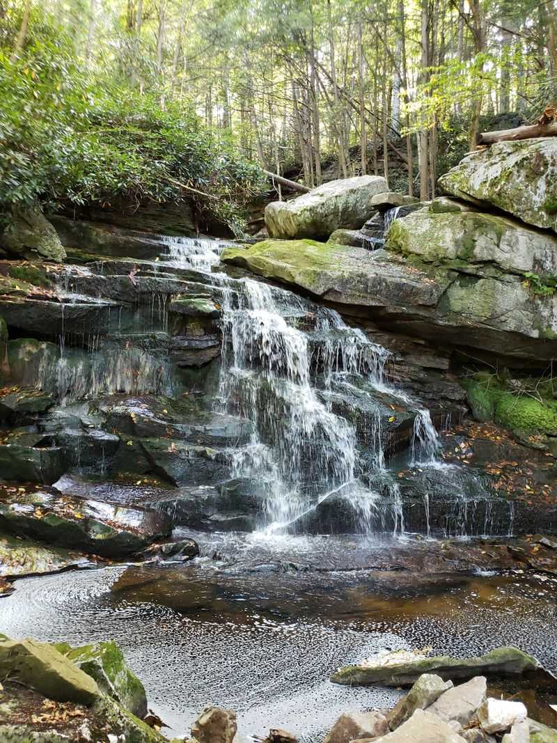
The color is the first thing you notice. Elakala Falls runs a reddish amber, stained by tannic acid from hemlock and red spruce needles, spilling over staggered rock steps in a series of four cascades.
Getting to the first one is easy, roughly 0.6 miles out and back, with a wooden bridge that puts you directly above the drop. Most people snap a photo there and head back to the lodge.
Going farther is a different story. The route downstream to the lower cascades is steeper, rougher, and sometimes overgrown, with boulder scrambling involved.
Rocks near the water stay slick year-round, so take your time and think twice in wet weather. Honestly, the first fall alone justifies the walk.
Fun bit of trivia: the same tannins that darken these falls give the nearby Blackwater River its name. Trailhead parking sits on the southern side of the lot by the lodge.
Address: Blackwater Falls State Park, 1584 Blackwater Lodge Road, Davis, WV 26260
7. Glade Creek Trail And Its Swimming Holes
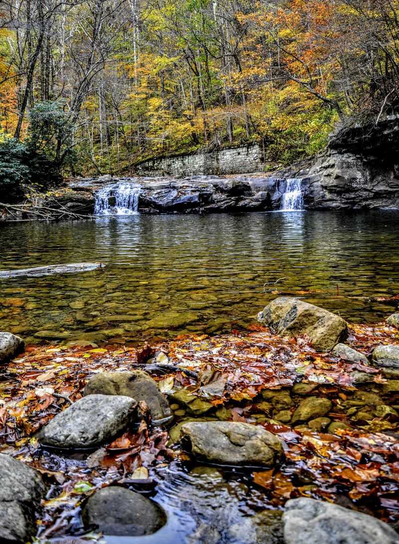
Old railroads make excellent hiking trails, and Glade Creek proves it. The path traces an abandoned narrow-gauge rail line for 5.6 miles one way, which means 11.2 miles round trip on a very forgiving grade.
Because the climbing is minimal, hikers of many ages and abilities can handle a good chunk of it before turning around. Cascades, small waterfalls, and wildflowers keep the scenery changing.
Swimming holes are the real draw for a lot of people, and some regulars rank them the best in the park. Kate’s Falls sits near the southern trailhead, and the lower stretch of Glade Creek is a catch-and-release trout stream.
Muddy sections are common, especially in spring, so waterproof footwear pays off. The seven-mile gravel road in is slow going, but that access is exactly why the trail stays quiet.
Plan a full day and pack lunch. There is nowhere to buy anything once you turn off the highway.
Address: Glade Creek Campground, Glade Creek Road, Prince, WV 25907
8. Craig Branch Falls, The Gorge’s Tallest Drop
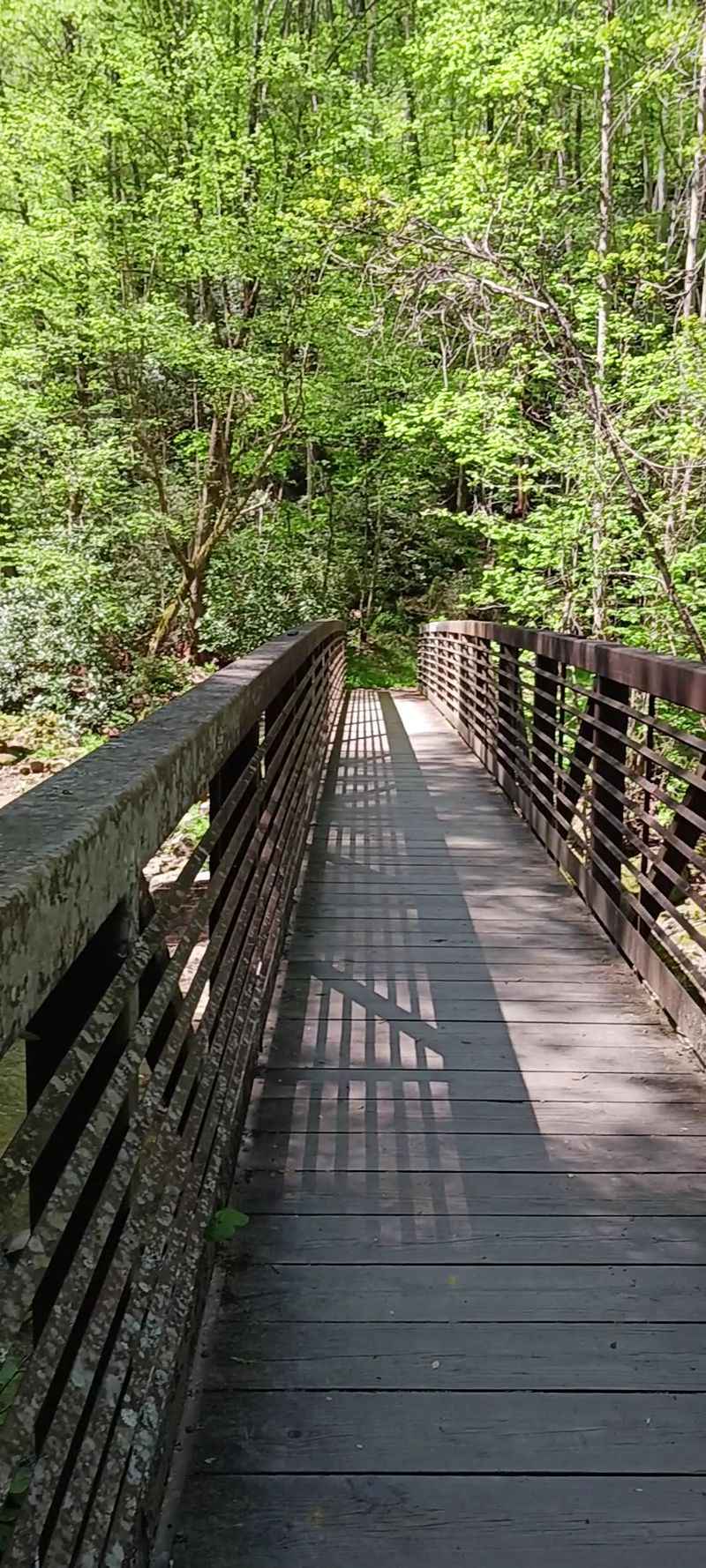
Ask around about the tallest waterfall in the New River Gorge and most people guess wrong. Craig Branch Falls holds that title, pouring off a cliff face dressed in wildflowers, with individual drops measured at 15, 25, and 40 feet.
Reaching it takes commitment. The standard approach starts at Kaymoor Top, descends the strenuous Miners Trail about half a mile to the junction, then continues right along the Kaymoor Trail for roughly another 0.7 miles.
Seeing every cascade may involve bushwhacking, which is not for everyone, and I would not attempt that part alone. Along the way you get views toward the Endless Wall, those long sandstone cliffs the region is known for.
Spring runoff makes the falls most impressive, though the trail is also muddiest then. Long pants help with brush, and a downloaded offline map helps even more since cell service disappears in the gorge.
Save this one for a day when you are feeling strong.
Address: Kaymoor Top Trailhead, Kaymoor No. 1 Road, Fayetteville, WV
9. Lindy Point For Sunset Without The Struggle
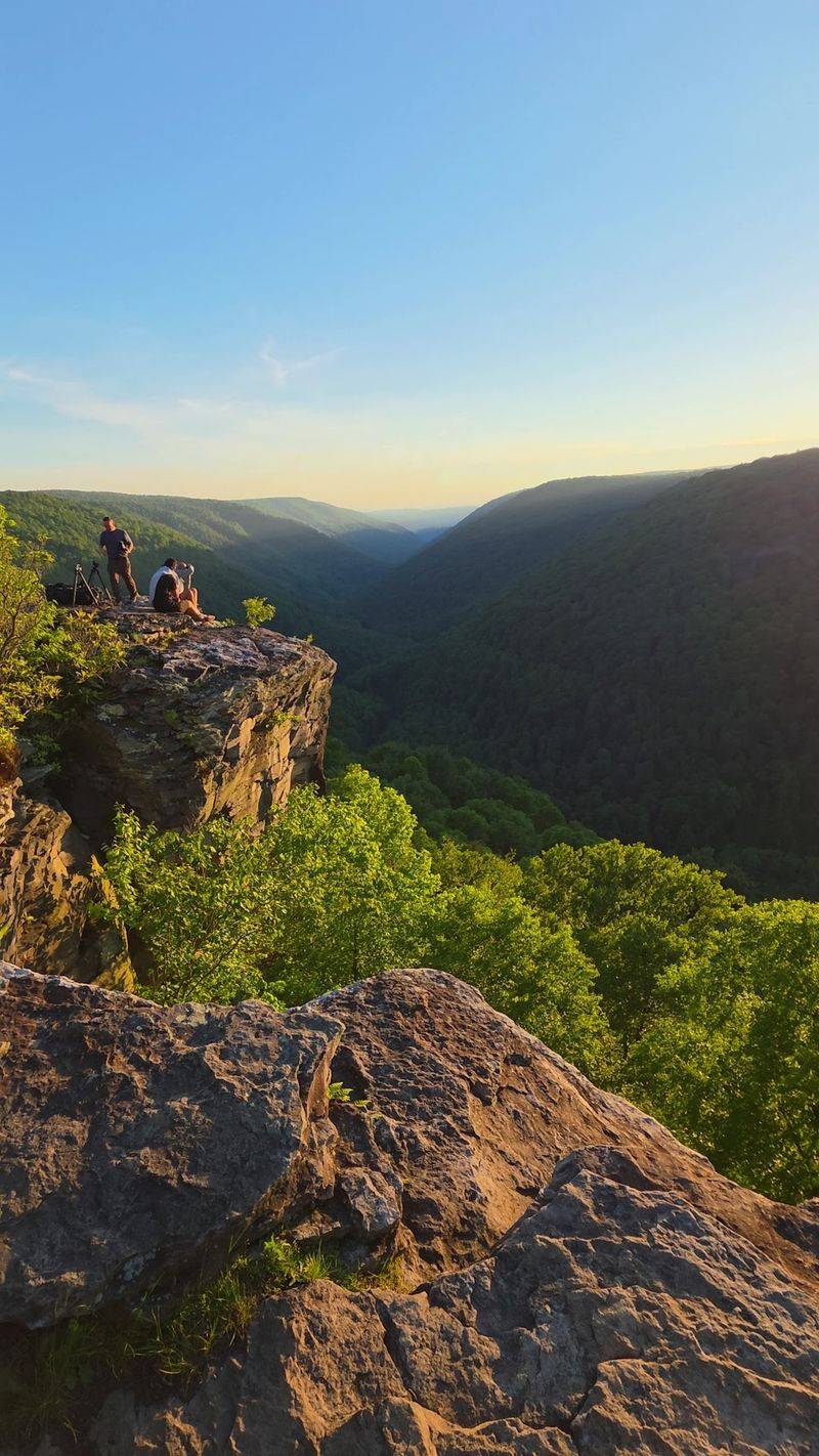
Short trail, huge reward. Lindy Point runs only about 0.7 to 0.8 miles out and back with barely 50 feet of elevation gain, ending at a rock outcrop that opens onto the full sweep of Blackwater Canyon.
Rhododendrons crowd the path in places, and in early summer their blooms make the walk feel almost decorated. Sunrise and sunset are the classic times to be here, when the canyon fills with layered light and, often, drifting fog below.
Even though the state park it sits in draws plenty of visitors, this overlook tends to feel calmer than the main falls area. That gap between effort and payoff is unusual.
Getting there involves driving Canaan Loop Road, about a mile past the sled run parking area, and the surface can be rough depending on the season. Bring a headlamp if you are staying for sunset.
The walk back through dark spruce woods is short but genuinely dim.
Address: Lindy Point Overlook, Canaan Loop Road, Blackwater Falls State Park, Davis, WV 26260
10. Middle Ridge Trail In Canaan Valley
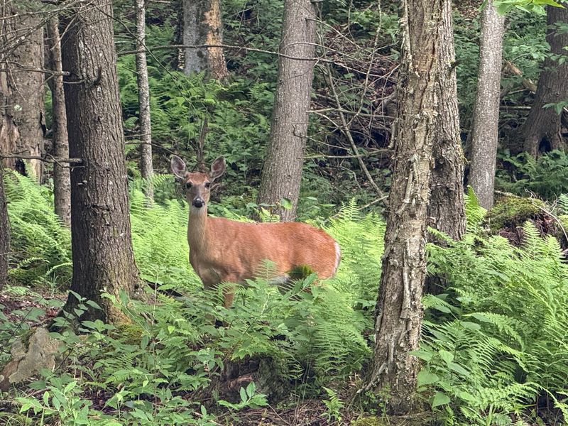
Resort parks sometimes get written off by serious hikers, which is a mistake here. Middle Ridge Trail is a 2.6-mile loop rated moderately challenging, with about 328 feet of elevation gain, tucked inside Canaan Valley Resort State Park.
The route curls around a mix of landscapes and delivers quiet views of the valley’s natural side. It is long enough to feel like a real hike, short enough to squeeze in before or after something else.
Canaan Valley sits high, one of the coldest and snowiest corners of the state, so the forest here has a northern character to it. That means cool mornings even in July and vivid color in autumn.
Trail junctions inside the park can be a little confusing, so grab a map at the lodge before setting out. Boots with decent grip help on the rockier, rooted sections.
If you are basing yourself in the area for a few days, this makes an easy warm-up for tougher trails nearby.
Address: Canaan Valley Resort State Park, 230 Main Lodge Road, Davis, WV 26260
11. South Prong Trail Across The Roaring Plains
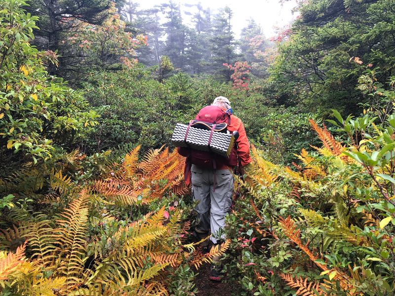
For anyone who wants Dolly Sods scenery without Dolly Sods company, Roaring Plains is the answer. South Prong Trail covers roughly 8 miles of arduous ground across Flatrock Plains and Roaring Plains, partly following old logging corridors.
Elevations climb to about 4,130 feet along the Eastern Continental Divide, and the terrain is rocky, wet, and unapologetic. Coniferous forest gives way to thick tangles of rhododendron and mountain laurel, with openings that reveal Dolly Sods and the Red Creek Plain.
A shorter 5-mile out-and-back to a campsite makes a reasonable day if the full route sounds like too much. Combining the trail with Forest Road 19 creates a loop for stronger hikers.
Expect standing water, hidden rocks, and weather that changes its mind hourly up there. Gaiters are not overkill.
The Upper South Prong Trailhead, about a mile farther along FR 19, offers an easier starting point if you want to ease into it.
Address: Roaring Plains Wilderness, Forest Road 19, Monongahela National Forest, WV
12. Cathedral State Park And Its 500-Year-Old Hemlocks
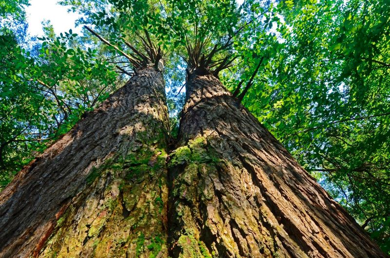
Standing under trees that were already old when the first colonists arrived does something to your sense of scale. Cathedral State Park protects West Virginia’s largest old-growth forest, with some trees more than 500 years old.
Eastern hemlocks here reach up to 90 feet tall with circumferences around 16 feet, and the canopy they create is exactly as hushed as the park’s name suggests. A National Natural Landmark, the park shelters over 170 species of trees, ferns, and wildflowers.
Seven short trails crisscross the grounds, the longest being the 1.1-mile Cathedral Trail, with the Giant Hemlock Trail clocking in at just 0.2 miles. Elevation change tops out at a couple hundred feet, so beginners and families do fine.
Several small bridges cross Rhine Creek, and the water sound carries through the trees.
It rarely feels busy, which only adds to the effect. Go in the morning when light filters through the high branches in visible beams.
Address: Cathedral State Park, 12 Cathedral Park Drive, Aurora, WV 26705
