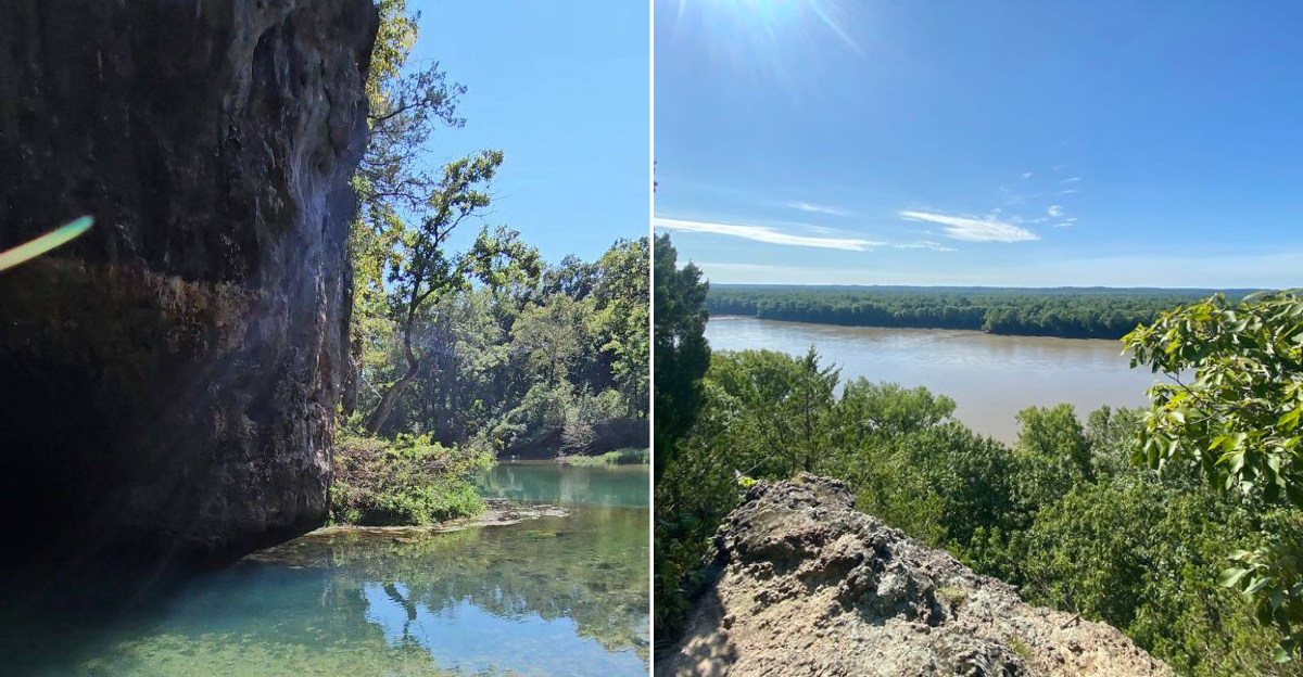
Missouri has no shortage of trails, but the ones that hug the riverbanks tend to steal the show. The ones that wind along bluffs and drop down to gravel bars where the water runs clear and cold.
The trails that most people drive right past because they do not appear on any glossy brochure. These are the overlooked paths, the ones that locals keep to themselves and visitors only find by accident.
They offer the kind of quiet that makes you forget about your phone and the kind of views that make you stop mid-stride. Each one has its own character.
Some follow old logging roads. Others cut through dense forest before opening up to sweeping river bends.
A few even lead to hidden springs or waterfalls that feel like a reward for making the effort. Missouri is full of these tucked-away treasures, and they are waiting for anyone willing to look a little closer.
1. Bootleg Access Trail (Potosi)
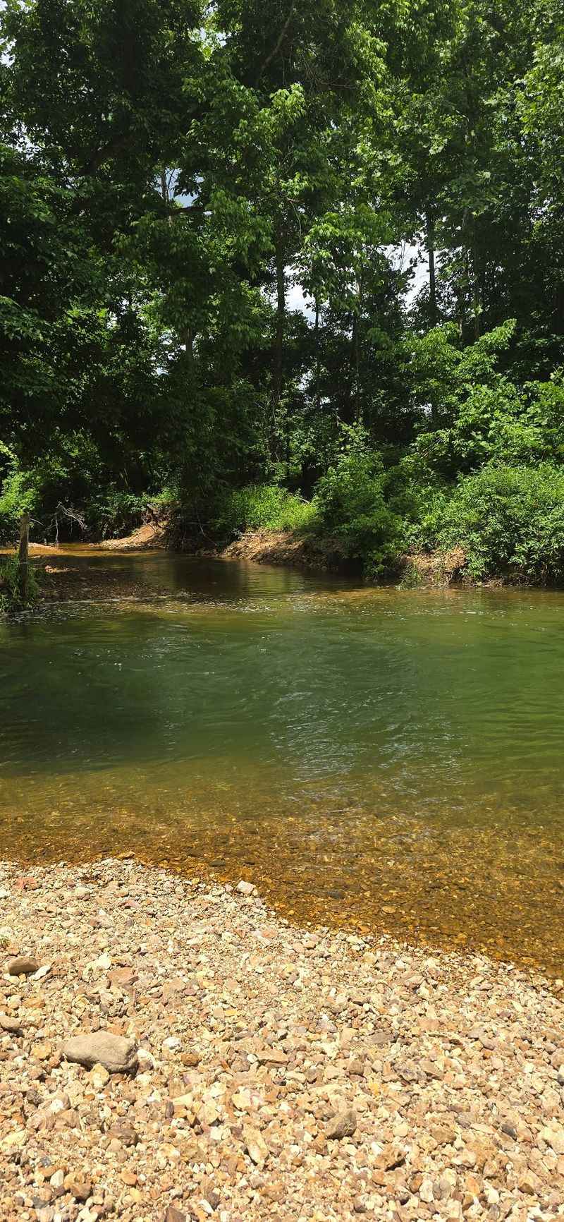
Some days you just want a trail where you will not have to step aside for anybody, and that is exactly the feeling this loop near Potosi gives you. The path runs about a mile and a half in a loop, and while folks rate it moderately challenging, the real work comes from the uneven footing rather than any brutal climbing.
You will wind through forest most of the way, with the Big River peeking through the trunks at spots that feel like little surprises rather than staged overlooks. A few sections get rugged and the tread is not always crisp and obvious, so keep your eyes on the ground and pay attention to where the trail bends.
Honestly, that slightly rough character is what keeps the crowds away, and I think it works in your favor if quiet is what you came for. Bring shoes with real grip because loose rock and roots show up when you least expect them, and a downloaded map never hurts out here.
You will find the access through the Missouri Department of Conservation area just off Missouri Highway twenty-one near Potosi, Missouri, which makes it an easy detour if you are already heading that direction.
2. Cooley Lake Conservation Area Trails (Missouri City)
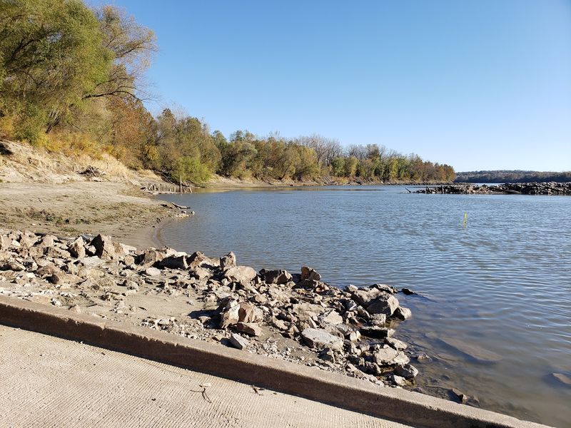
Ever been somewhere that feels like nature simply took the place back? That is the vibe across these thirteen hundred plus acres east of Liberty, where towering bluffs, soggy marshland, and Missouri River frontage all crowd into one wonderfully messy preserve.
The trails here are rugged and barely maintained, which means you should treat this as an exploring trip rather than a stroll on a groomed path. Bluffs rise well above the valley floor, and when you get up on them the view across the bottomland is genuinely worth the scratched shins.
My honest advice is to save this one for late fall through early spring, because the leaves are down then and you can actually see where you are going and what is around you. The bug situation is friendlier in the cold months too, and the sightlines across the marsh open way up.
Wear boots you do not mind getting muddy, since low ground stays wet for a long stretch after rain. The area sits roughly twelve miles east of Liberty, Missouri, near the little village of Missouri City, out by the junction of Highways N and two-ten, and parking is simple gravel.
3. Lewis and Clark Trail (Weldon Spring Conservation Area)
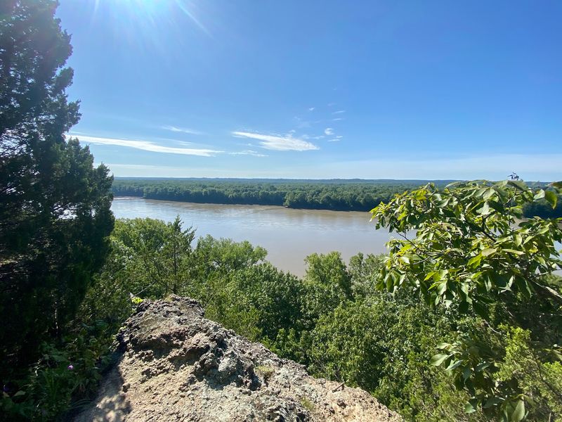
Walking a bluff line above the Missouri River does something to your head, and this eight-mile loop out in St. Charles County delivers that feeling over and over. If eight miles sounds like more than you signed up for, there is a shorter Clark Loop option that still hands you plenty of river scenery without eating your whole day.
What I like about the route is how much it changes underfoot, moving from dry ridge tops down into shaded bottomland and back up again. The overlooks are the payoff, and a couple of them line up so nicely with the river that you will want to sit down for a while.
Go early if you can, because the parking area fills slower in the morning and the trail feels almost private before the day warms up. Trekking poles help on the descents, and the climbs are steady enough that you will be glad you paced yourself.
The trailhead sits off Highway ninety-four in Weldon Spring, Missouri, and it is well marked once you are close. Pack more water than you think you need, especially in warmer months when the ridges get exposed.
4. Magnolia Hollow Conservation Area (Ste. Genevieve)
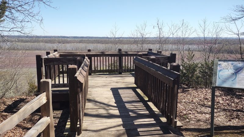
Standing high over the Mississippi and watching barges crawl along below never really gets old, and here you can do it from a wooden viewing platform that is easy to reach. That accessibility is a big deal, because plenty of the best river views in this state require a lung-busting climb first.
The area covers around seventeen hundred rugged acres, with steep limestone bluffs dropping toward the water and forest filling everything in between. Past the platform, a loop trail of roughly a mile and a quarter drops you down into the hollow and follows Establishment Creek through the trees.
Winter is a sneaky-good time to visit because eagles show up along the river corridor, and with the canopy bare you can actually spot them. Fall works beautifully too when the hollow lights up with color.
Take the descent slowly since the grade steepens in places and loose leaves can be slick. Restroom options are minimal, so plan accordingly before you head out.
You will reach it by driving Magnolia Hollow Road, about ten miles north of Ste. Genevieve, Missouri, and the last stretch is quiet country road all the way.
5. Meramec State Park – Bluff View Trail (Sullivan)
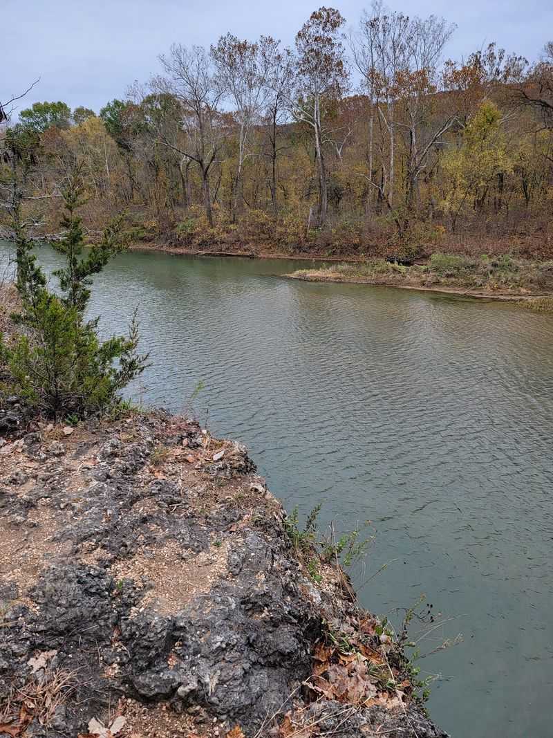
There is a reason people who live nearby do not go around advertising this park, and after one trip up the Bluff View Trail you will probably understand why. The path runs about a mile and a half, which sounds modest until you realize how much river scenery gets packed into that distance.
Sweeping views of the Meramec open up along the way, with the water curving below through thick green forest. The park itself sprawls across thousands of acres, so if you finish this trail with energy left over there is plenty more to wander.
Caves, rocky bluffs, and shady woods make up most of the terrain, and the combination gives the place a cool, tucked-away feel even on busier weekends. Rock steps and roots show up on the climb, so watch your footing rather than your phone.
Mornings tend to be calmest, and the light hitting the bluffs early is honestly the best it gets all day. Bring a small pack with water since there is a real climb involved.
Head to one fifteen Meramec Park Drive in Sullivan, Missouri, and follow the park signs from there.
6. Missouri River Overlook Trail (Weston Bend State Park)
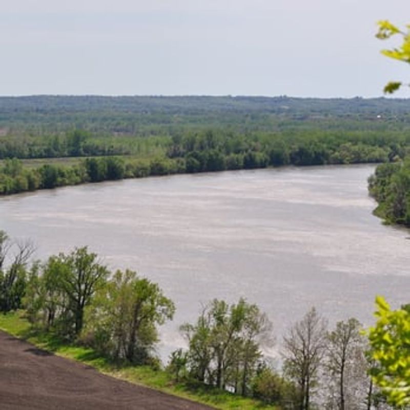
Not every great view has to cost you an entire day of walking, and this little trail proves the point better than most. The hike out to the overlook is short, roughly half a kilometer, with just enough grade to make you feel like you earned the payoff.
What waits at the end is a broad look at the Missouri River curving past heavily wooded banks, which is a lot of scenery for such a quick effort. Bluffs here rise a couple hundred feet above the water, so you are looking down on treetops rather than through them.
Bird watchers love this park during migration seasons, and even if you are not into birding you will notice the noise and movement in the canopy. Bring binoculars if you own a pair, because the river corridor is busy.
Families do well here since the distance is friendly for shorter legs, and you can stack it with other park trails if you want more mileage. Sunset light on the water is especially good.
The park sits at sixteen thousand six hundred MO-45 in Weston, Missouri, just north of Kansas City.
7. Painted Rock Conservation Area – Scenic Trail (Jefferson City)
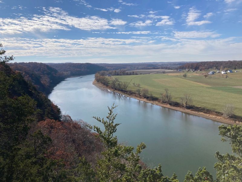
Picture a bluff-top loop where the Osage River valley just unrolls in front of you and there is barely another car in the lot. That is what makes this two-mile Scenic Trail such a satisfying drive to make, even though it sits a fair way from anything busy.
The refuge covers close to fifteen hundred acres of oak and hickory forest, with rock outcroppings and rolling hills that keep the walking interesting between viewpoints. Traffic on the trail stays light to moderate, which is rare for scenery this good.
Fog settling in the valley on cool mornings is something worth setting an alarm for, and the overlooks catch it beautifully. Later in the day the light flattens out a bit, so early or late is your friend.
Cell service can get patchy out that way, so screenshot your directions before you lose bars. Sturdy shoes matter here because the trail edges near drop-offs in a few places and you want to feel planted.
The trailhead is on the west side of Highway one thirty-three, about a half hour southeast of Jefferson City, Missouri, and the gravel lot is small but usually open.
8. Riverscene Trail (Castlewood State Park)
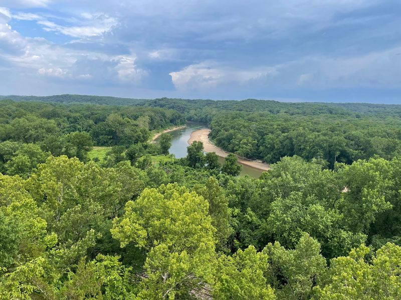
Every park seems to have that one trail everybody talks about, and around here it is this three and a half mile route above the Meramec. It gets called the most popular path in the park, and once you reach the bluff-top viewpoint you will see the reasoning immediately.
The river bends below in a wide sweep, framed by wooded hills that turn absolutely ridiculous with color in autumn. Getting up there involves a set of stairs and a decent climb, so pace yourself on the way rather than sprinting the first stretch.
Because word is out on this one, weekends bring company, and I would aim for a weekday morning if you want the overlook mostly to yourself. Mountain bikers use parts of the park too, so stay aware at intersections.
Down lower you will pass river-bottom habitat that feels completely different from the ridge, which makes the loop more varied than you might expect. Mud lingers after storms in those flat sections.
You will find the park at fourteen oh one Kiefer Creek Road in Ballwin, Missouri, tucked into west St. Louis County and easy to reach from the city.
9. Cliff Cave Park – River Bluff Trail (St. Louis)
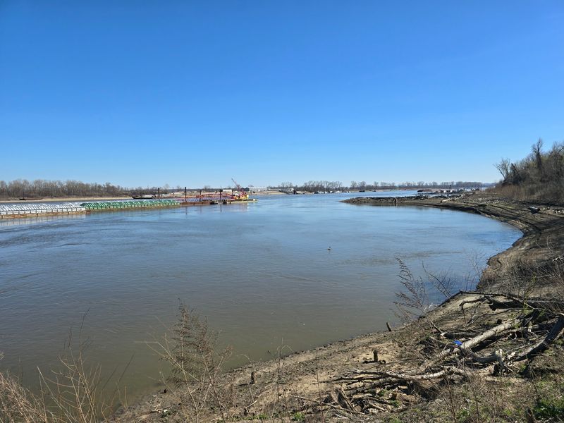
A cave and a big Mississippi River view within city driving distance sounds made up, but that is genuinely what you get at this county park on the south side of St. Louis. The River Bluff Trail is the one to prioritize if the view is your main goal.
Climbing up top gives you a wide look at the river and the valley spreading out below, which feels surprisingly remote considering how close the suburbs are. Along the way you will pass rugged limestone terrain that hints at the geology underneath everything.
The cave itself is a well known feature of the park, though access has been restricted at times for safety and bat protection, so check current park information before you plan around it. Respect any closures you see posted, because those rules exist for good reasons.
Trails can get slick after rain since the soil holds moisture under the canopy, so gripping soles are worth wearing. There is decent parking and it is an easy trip if you live anywhere in the metro.
The address is six twenty-six Cliff Cave Road in St. Louis, Missouri, and signage from the road is straightforward.
10. Cave Spring Trail (Current River)
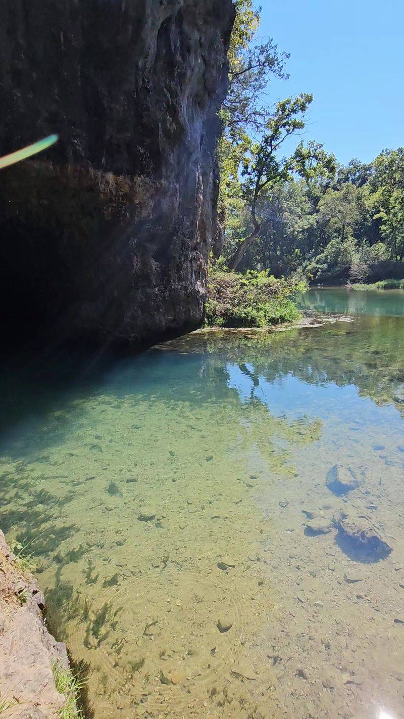
If you have ever wanted a hike that makes you feel like you found something nobody told you about, this one down by the Current River fits. The route climbs through oak and shortleaf pine ridges, dips across small streams, and then asks you to scramble up a bluff before handing over the view.
And what a view it is, with the river showing off that clear blue-green color the Ozarks are famous for. The scramble is the crux, so use your hands, take your time, and skip it entirely if conditions are wet and slick.
Because it sits within the Mark Twain National Forest area near Van Buren, Missouri, you should expect minimal signage and even less cell coverage once you are in the trees. Download maps ahead of time and tell somebody where you are headed.
Stream crossings can run higher than usual after heavy rain, which changes the difficulty quite a bit, so check conditions first. Long pants are smart out here given the brushy stretches.
Go with a friend if you can, and give yourself extra daylight, because rushing the return trip on rocky ground is how people roll ankles.
