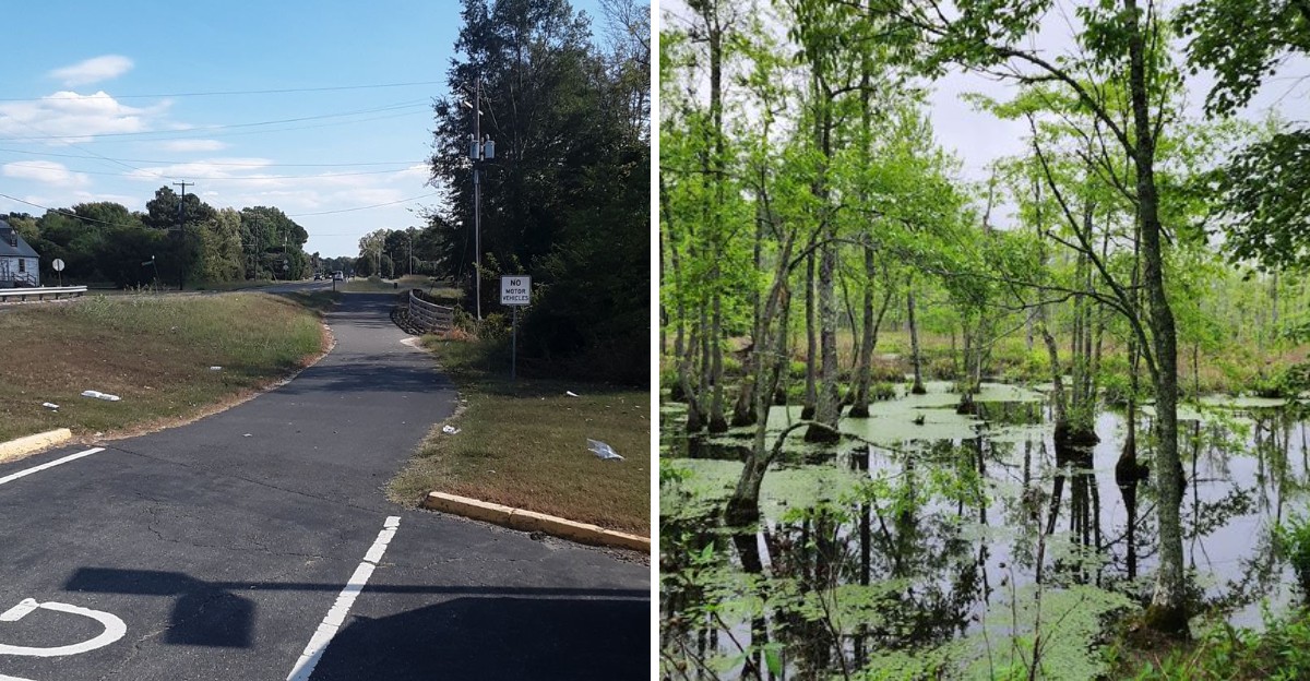
Some trails are for serious cyclists who want a challenge. This one is for everyone else.
The Virginia Capital Trail is flat, paved, and stretches for miles, making it perfect for families, casual riders, and anyone who just wants a smooth ride without the hills. You can bring your own bike or rent one along the way.
The trail passes through historic towns, farmland, and stretches of forest, with plenty of places to stop for a break or a snack. The surface is well-maintained, and the route is clearly marked, so you do not have to worry about getting lost.
It is the kind of trail where you can ride at your own pace and enjoy the scenery without feeling rushed. Virginia has plenty of great trails, but this one is the easiest to love.
Fifty Two Miles Of Smooth Asphalt With Almost No Drama
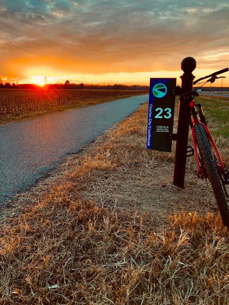
Smooth pavement is the headline act here, and it delivers. The Virginia Capital Trail runs roughly fifty two miles linking Jamestown with downtown Richmond, and the surface stays consistently well maintained asphalt from end to end.
You get a center line, mile markers and a path wide enough that a family of four can roll two abreast without anyone playing chicken.
Flat is the operative word for long stretches, especially near the eastern end and through the river bottoms. Gentle rolling terrain shows up in places, and there’s one genuinely noticeable climb as the Richmond skyline appears near the western end.
Nothing on the route requires mountain goat legs, though. Road bikes handle it beautifully, hybrid tires shrug it off, and skinny tired race machines have no trouble either.
Because the path is separated from traffic for the vast majority of its length, you can actually look around instead of watching your mirror.
That single detail changes everything for parents riding with kids. Nervous beginners relax within a mile, and confident riders get to zone out and pedal.
Pack a repair kit anyway. Long quiet sections mean help isn’t always around the corner.
Rolling Out Of Jamestown Where American History Starts
Few bike paths begin at the site of the first permanent English settlement in North America, but this one does. The eastern terminus sits at Jamestown, where free trailhead parking makes an early morning launch painless.
Start here and you’re pedaling away from the seventeenth century toward a modern skyline, which is a pretty satisfying way to spend a day.
Morning light on the James River is worth the alarm clock. Mist hangs low over the water, the pavement is empty, and the first few miles feel almost private.
Riders heading east on a return trip can stay on the Monticello Avenue connection and continue straight into Williamsburg instead of stopping at Jamestown, which opens up a whole extra layer of colonial Virginia.
Overnight trips work beautifully from this end. Some cyclists ride to Richmond, spend a full day exploring the capital, then pedal back the following morning.
Prevailing winds tend to blow from the west southwest, so the Richmond to Jamestown direction often feels like the easier haul.
Plan your direction accordingly and you’ll feel like a genius by mile forty.
Osprey Nests And Wide Water At The Chickahominy Crossing
About six miles out of Jamestown, the scenery cracks wide open. The crossing over the Chickahominy River gives you big tidal water on both sides, marsh grass swaying, and a horizon that goes on forever.
Pull outs along the span let you stop safely and stare, which you absolutely should.
Osprey nests sit on platforms and pilings near the water, and during nesting season chicks poke their heads over the rim. Bring a phone with decent zoom or just enjoy the show with your own eyes.
Wind can be honest out here since there’s nothing to block it. Grip the bars, keep a steady line, and remember the reward is one of the most photogenic stretches on the entire route.
Herons stalk the shallows, turtles sun themselves on logs, and the whole scene feels a world away from the interstate humming somewhere behind you.
Cooler months trade the greenery for enormous skies and sharp light.
Whatever the season, budget extra minutes here. Nobody has ever regretted lingering above the Chickahominy on the Virginia Capital Trail.
Presidential Plantations Hiding In Plain Sight Along Route Five
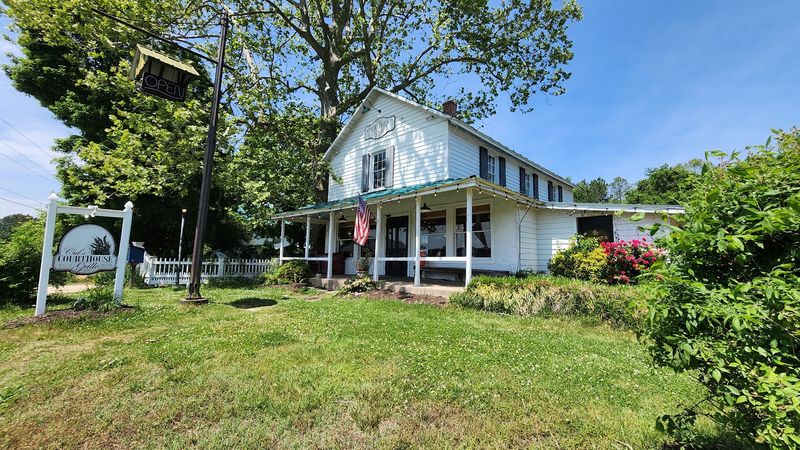
Charles City County packs more presidential history per mile than almost anywhere. Sherwood Forest Plantation, once home to President John Tyler, sits near mile sixteen and welcomes grounds visits every day of the week.
Shirley Plantation, Berkeley and Westover all sit within easy reach of the path too, each with its own tangled story of colonial Virginia.
Interpretive markers line the route, and they’re genuinely readable rather than dense academic walls of text. Kids can hop off, read a panel about Civil War troop movements or eighteenth century tobacco farming, and hop back on.
Farmland unfurls on both sides through this section. Corn in summer, stubble and hawks in winter, and the occasional tractor waving you past.
Tree cover thins in spots, which means a few multi mile stretches with no shade at all. Sunscreen matters more than you think out here.
History buffs could easily turn a single ride into a two day affair by pausing at each estate.
Purists will tell you this middle section is the soul of the Virginia Capital Trail, and honestly, it’s hard to argue.
Cul’s Courthouse Grille Rolls Out The Welcome Mat For Cyclists
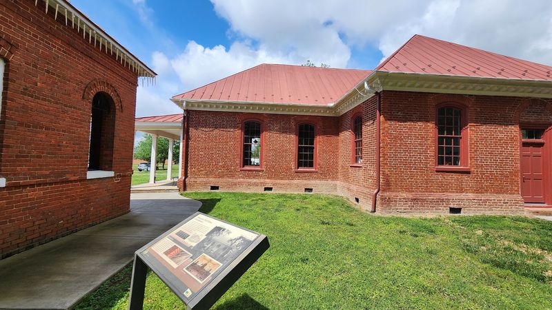
Around mile twenty, hunger usually strikes with excellent timing. Cul’s Courthouse Grille occupies a historic building across from the Charles City County courthouse, and the place has built a real reputation among people arriving on two wheels.
Bike racks, friendly service and a spot to refill bottles make it the unofficial halfway clubhouse.
The building itself carries character in its floorboards, with a country store feel and walls that have clearly seen a few centuries of local business.
Sitting on the porch with your helmet on the table is a completely normal look here. Nobody blinks at cycling shoes clacking across the floor.
A few miles further west, Indian Fields Tavern offers another sit down option in a restored farmhouse setting, so you’re not locked into a single choice.
Support services are genuinely sparse through the middle of the route. A gas station near mile thirteen and these restaurants are essentially it until the Varina area.
Treat Cul’s as a strategic fuel stop rather than an optional detour.
Regulars will tell you the staff actively enjoy the cycling crowd, which is not something every roadside restaurant can claim.
Four Mile Creek And The Varina Stretch Where Facilities Return
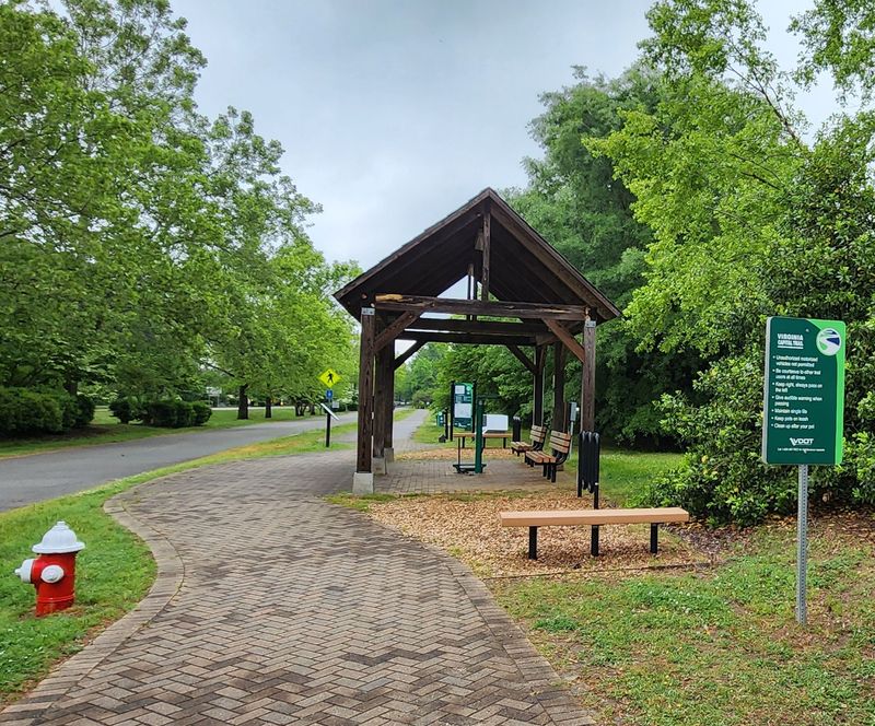
Relief arrives around mile forty. The Varina area brings water, restrooms and actual parking back into the picture after a long run of quiet countryside.
Four Mile Creek Park serves as one of the most popular access points on the whole route, and it’s a smart base for shorter out and back rides.
Families love this section because you can pick your own distance. Ride five miles east, turn around, and call it a perfect afternoon.
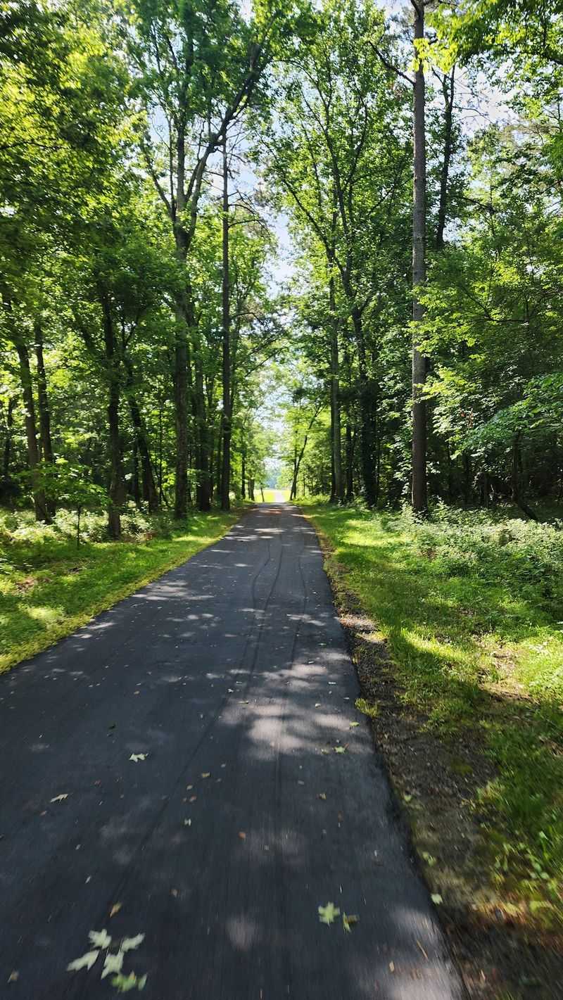
Wooded corridor replaces open farmland here, so shade returns just when legs are starting to complain about the sun.
Deer wander near the treeline at dawn and dusk. Keep your speed sensible and your bell handy.
Henrico County maintains the parkland well, with picnic space and shelter making it easy to turn a ride into a whole day outing.
Parking at intermediate trailheads is the secret weapon of the Virginia Capital Trail. You don’t need to conquer all fifty two miles to feel like you’ve done something.
Break it into bite sized chunks across several visits and you’ll eventually collect the entire thing.
That One Big Hill Before Richmond Earns Its Reputation
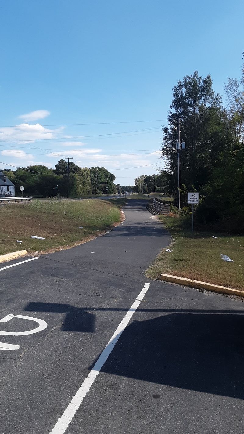
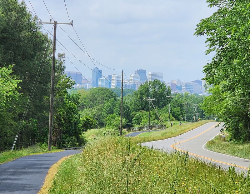
Every flat trail keeps one surprise in its back pocket. Near mile forty seven, the pavement tilts upward as the Richmond skyline swings into view for the first time.
Heading west, it’s a fast, grinning descent into the city. Heading east, it’s a legitimate leg burner that will have you shifting through every gear you own.
Skaters should pay particular attention here. Momentum builds quickly on the downhill side, so scrub speed early rather than late.
Views make the effort worthwhile. Buildings rise above the tree canopy, the James River glints below, and suddenly a rural ride becomes an urban arrival.
Gearing matters if you’re planning a round trip. A compact crankset or a wide range cassette turns this from a challenge into a shrug.
Anyone riding with children should plan a snack break at the bottom rather than the top.
Reaching the crest delivers one of those small, sweaty victories that makes cycling addictive.
Take the photo. You earned it, and the skyline backdrop beats anything you’ll find on a treadmill in Virginia or anywhere else.
Finishing In Shockoe Bottom Where Richmond Turns On The Charm
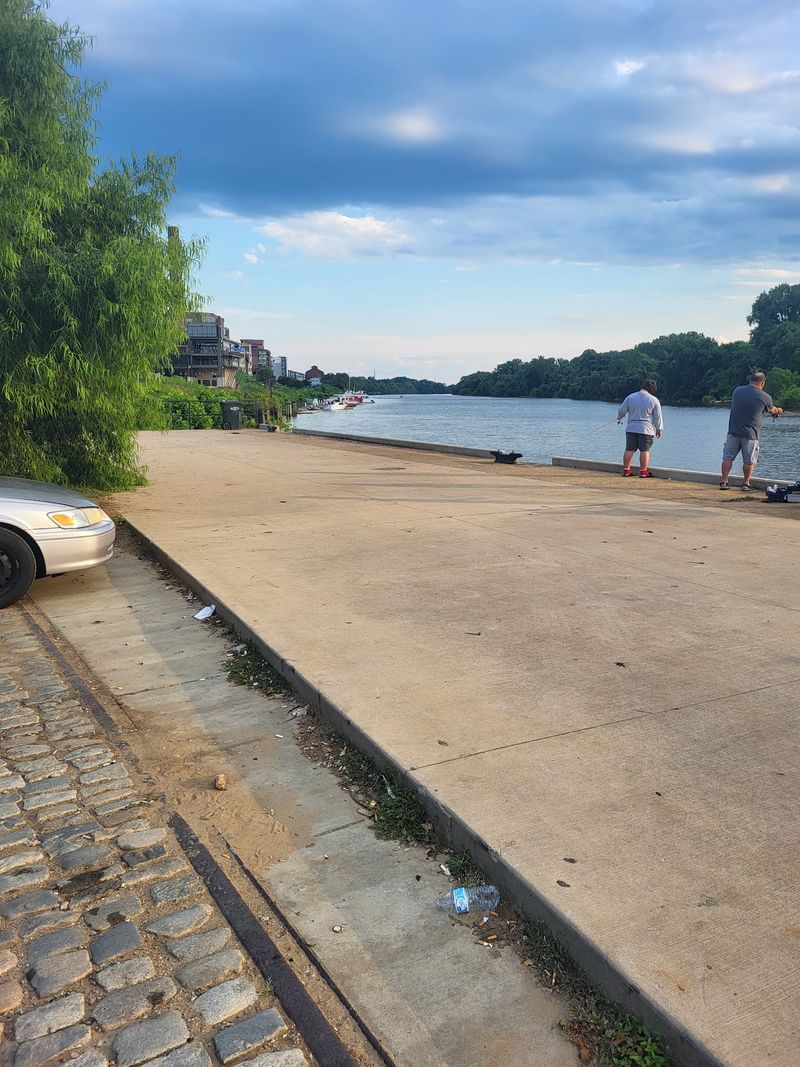
Cobblestones, brick warehouses and river views mark the western finish. The route wraps up near Shockoe Bottom around mile fifty two, dropping you into one of Richmond’s most historic neighborhoods.
Great Shiplock Park sits nearby, connecting to the city’s canal walk and riverfront path network.
Locking up here means everything is walkable. Museums, coffee shops and shaded benches sit within a few blocks, and the Virginia State Capitol is a short stroll uphill.
Parking exists at this end too, which makes a Richmond start perfectly practical. Ride east with the prevailing wind at your back and thank yourself later.
Brown’s Island and the Virginia Capital Trail’s urban approach put you right beside the James River rapids, where kayakers bob through whitewater in the middle of a city.
Weekend energy in Shockoe Bottom is lively without being overwhelming.
Stretching your legs on the cobblestones after fifty miles is a strange sensation, part triumph, part wobble.
Grab a bench by the water and watch the river do its thing. Few finish lines in Virginia come with a better view.
Smart Packing Beats Optimism On Long Quiet Sections
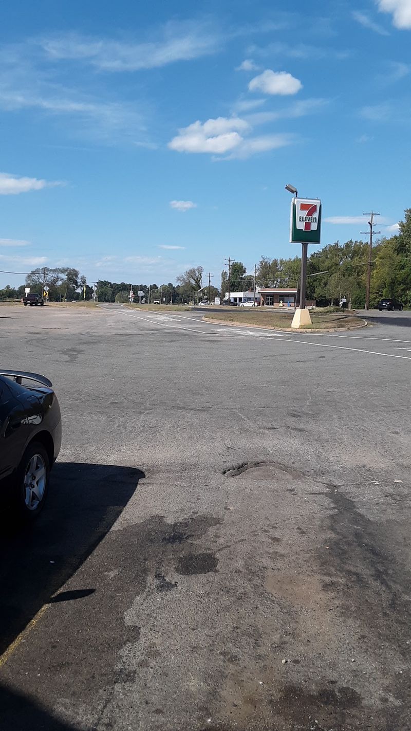
Optimism is not a hydration strategy. Long gaps between services mean carrying at least two full bottles on any ride beyond a casual out and back.
Sun exposure catches people out on the treeless stretches, some running four miles with zero shade.
A hat under the helmet, decent sunglasses and reapplied sunscreen do more for your day than any fancy component upgrade.
Wind deserves respect too. West southwest breezes are common, so riders heading toward Jamestown often get a helpful shove while the return leg feels twice as long.
Bring a spare tube, tire levers and a pump. Bike shops are not scattered along the countryside, and phone signal can be patchy in the river bottoms.
Snacks matter more than you’d guess. Something salty around mile thirty prevents that sluggish, wobbly feeling from creeping in.
Benches are limited through the middle miles, so grass verges become your rest stop.
Prepared riders have a fantastic day on the Virginia Capital Trail. Underprepared ones learn a memorable lesson about rural Virginia distances.
Be the first kind.
Every Season Serves Up A Different Ride
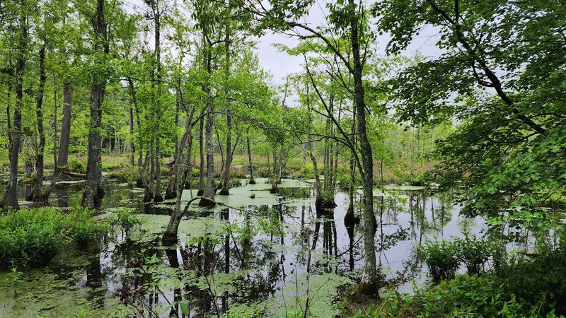
Spring turns the corridor into a riot of dogwood, redbud and fresh farmland green. Osprey return to their nesting platforms, and the air smells like rain and cut grass.
Summer brings heat and humidity that Virginia does not do halfway. Early morning starts are non negotiable in July, and the shaded wooded sections become genuine sanctuary.
Autumn is the crowd favorite for good reason. Cooler air, golden light across the fields and hardwoods flaring red make the middle miles absurdly pretty.
Winter clears the path of foliage and reveals water views hidden the rest of the year. Layer up, and you’ll often have long stretches entirely to yourself.
Bird activity varies by season and location, so binoculars are a worthwhile addition to the handlebar bag.
Address wise, the route runs between Jamestown Settlement in Williamsburg and Shockoe Bottom in Richmond, with major trailheads including Four Mile Creek Park at 3600 Doran Road, Henrico, Virginia.
Pick a season, pick a trailhead, and go. The Virginia Capital Trail is not going anywhere, but your excuses should.
