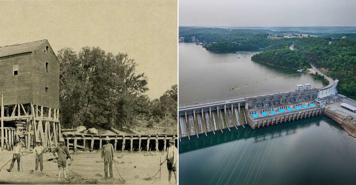
Some lakes hide their history beneath the surface, but this one keeps it buried in plain sight. When the Osage River was dammed in the late nineteen twenties, the rising water swallowed roads, farms, and entire communities.
Old Linn Creek, a county seat with homes and churches, was systematically cleared and submerged. Cemeteries were dug up and moved, but not everything made it to higher ground.
Foundations, bridge pilings, and even a few forgotten structures still sit in the murky depths, surfacing only when the lake levels drop.
Today, boaters and anglers glide over a drowned landscape, unaware that an entire chapter of the past lies just beneath their keels.
This is the Ozarks as most people never see it, a reservoir of recreation built on a foundation of sacrifice and swallowed history.
Missouri’s largest lake offers more than just weekend fun; it offers a glimpse into a world that vanished nearly a century ago.
The Lake Was Built, Not Born
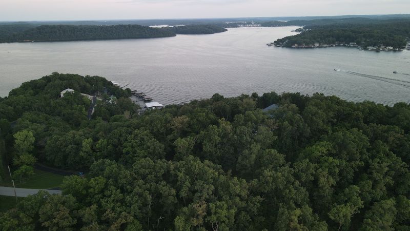
Most people look across the water and assume nature made it, but the lake exists because workers blocked the Osage River and turned a winding valley into storage for electricity.
That change sounds simple when you say it fast, yet it meant hillsides were cleared, homes were moved, and neighborhoods had to give way so turbines could send light outward.
If you stand near the shore and think about dry ground sitting under those waves, the place stops feeling like only a vacation lake and starts feeling like a decision.
I always find that part fascinating, because the view is lovely and calm, while the backstory is full of bulldozers, survey lines, and families figuring out what came next afterward.
Knowing how the lake began makes every overlook more interesting, and it helps kids and adults understand that landscapes are not always ancient, because some are built by choice alone.
Before your visit, pull up a simple map of the old river valley, since seeing the original shape of the land makes the size of the flooded area easier grasp.
Once you know the origin story, even a quiet cove feels layered, like beauty on top and history underneath, which is honestly a big part of why people remember it.
Where The Story Really Opens
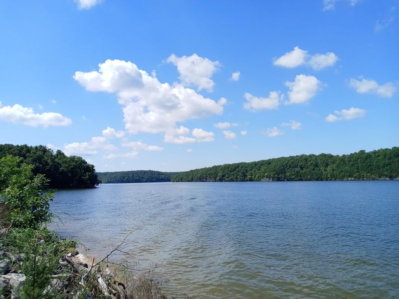
Here is where the trip starts to feel real, because Lake of the Ozarks State Park gives you a doorway into the story instead of keeping everything as a fact.
You can find it at 403 Highway 134, Brumley, MO 65017, and once you turn in, the roads, trees, and open shoreline make the whole area feel broader than expected.
What I like most is that the park does not separate recreation from history, since hiking, boating, swimming, and quiet lake views all happen in the same place every day.
It helps to stop at the visitor information area first, because a quick orientation makes the shoreline, coves, and wooded ridges easier to understand once you start moving around there.
Missouri has plenty of outdoor spots, but this one carries extra weight, since the scenery is tied to a reshaped landscape and not simply a lake that appeared naturally here.
Families usually appreciate the range of choices, since one person can want a beach, another can want a trail, and somebody else can stand still reading the land for clues.
If you only have a short visit, spend time near the water and then head uphill, because seeing the lake from both levels gives the place more depth immediately too.
Old Linn Creek Underwater
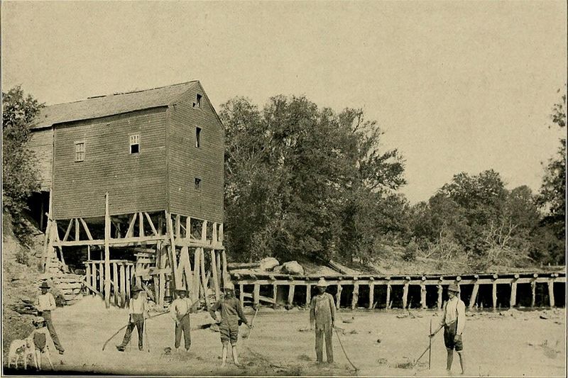
A lot of lakes hide old stumps or fence lines, but this one covered Old Linn Creek, a real town that once handled county business before the water arrived there.
That detail changes your whole mental picture, because you are no longer imagining empty land, you are picturing streets, porches, errands, and neighbors moving through an ordinary day there below.
Reports over the years have mentioned foundations, wells, and roadbeds in the flooded area, which gives the story a physical edge instead of leaving it as local memory alone forever.
I find that easier to connect with than abstract history, since a buried foundation sounds like somebody’s kitchen once stood there, and somebody definitely knew the walk home by heart.
When you are out on the lake, keep in mind that the smooth surface can flatten the past, so reading about Old Linn Creek before arriving makes everything feel sharper.
Kids usually get pulled in by the idea of a town underwater, and honestly adults do too, because it feels part history lesson, part mystery, and part geography at once.
Standing on shore after learning that story, you may catch yourself looking longer than expected, not because the lake changes shape, but because your imagination suddenly has a map too.
Roads That Did Not Go Anywhere
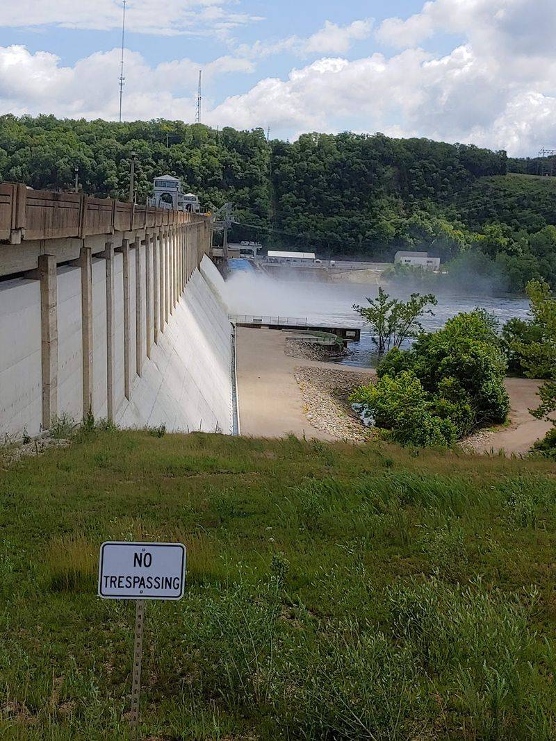
One of the strangest things to picture here is a road continuing straight under the water, because roads are built for motion and the lake turned that certainty off completely.
Old roadbeds matter because they show how people connected farms, homes, stores, and town centers before the shoreline existed, which makes the drowned landscape feel organized instead of random ground.
You probably will not see much from above, yet knowing those routes remain below gives every cove a second layer, like a map folded underneath the one tourists use today.
That image can help younger visitors understand the scale of flooding better than any technical explanation, since everybody knows what a road means in everyday life and travel around home.
If you bring an old county map on your phone, compare it with the modern shoreline and watch how quickly the story clicks into place without needing a lecture first.
Missouri feels especially layered here, because the fun of boating sits right beside the knowledge that regular travel once happened on solid ground where waves now roll across it daily.
Even if you never spot a trace, the thought of submerged roads gives the lake a human shape, and that makes the scenery stick with you longer after you leave.
Former Townsites Lost To The Reservoir
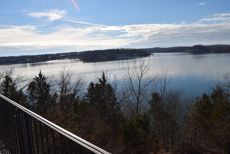
Old Linn Creek gets most of the attention, but it was not alone, and that matters because the lake changed several community sites instead of touching just one place deeply.
Smaller settlements, mills, work areas, and scattered homes also disappeared into the reservoir, which means the flooded ground represents a patchwork of lives rather than one neat story told simply.
That patchwork is honestly what stays with me, because every lost spot had its own routines, landmarks, and family memories before the water blended everything into one huge shape together.
Sometimes people focus only on the engineering, yet the human side becomes clearer when you remember that each former townsite once had directions, gathering places, and familiar turns for residents.
If you enjoy local history, read about mills and small communities around the Osage valley before arriving, because those details make the modern shoreline feel surprisingly crowded with memory already.
Missouri has many places where history stays visible above ground, but here the lost pieces are mostly hidden, and that almost makes the imagination work harder than usual for visitors.
Knowing there were multiple former townsites under the lake widens the story in a big way, turning one drowned town into a whole reshaped region with many missing local chapters.
The Park Trails Above A Drowned Past
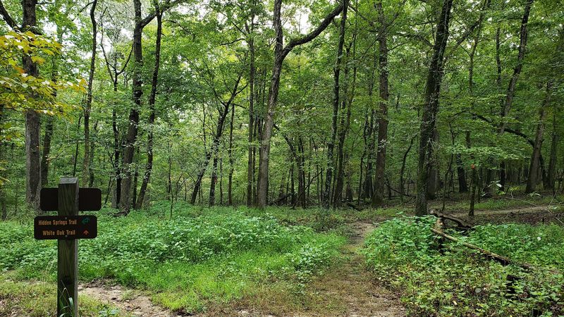
After all that underwater history, getting on a trail feels like a useful reset, and the park’s land routes show you the same story from higher ground in a way.
Wooded paths, glades, springs, and bluff views around the park are not just scenic extras, because they help you see the shape of the valley that water filled over time.
When you walk above the coves, the branches open now and then, and suddenly the lake looks less like a single body and more like flooded terrain spread through hills.
That view can make the creation story easier to understand than standing at one boat ramp, since elevation gives your brain a better sense of what changed across the valley.
Wear good shoes, carry water, and leave a little extra time, because the best part is often stopping at overlooks long enough for the old geography to register with you.
Missouri trails can be deeply peaceful, and these feel especially thoughtful once you know the lake’s backstory, because every ridge line helps explain the water below in a clear way.
If boating feels busy, the trails give you room to think, which is sometimes the best way to connect with a place carrying both recreation and remembrance at the once.
Caves, Coves, And Big Missouri Views
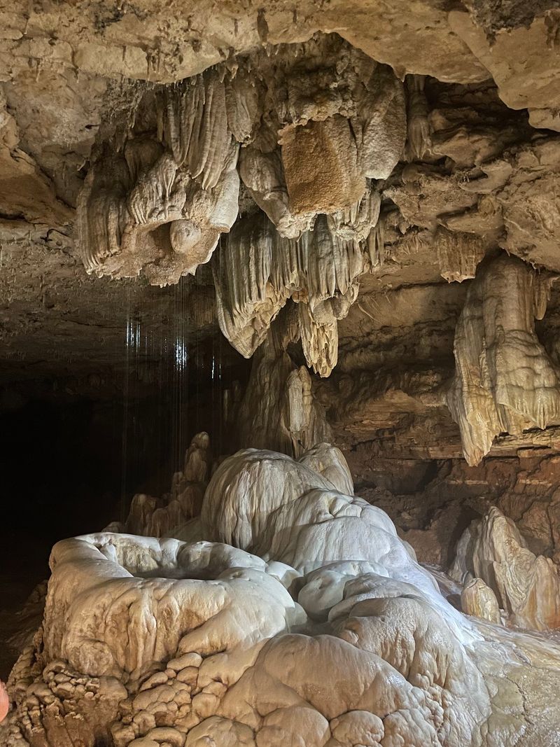
What surprises people is how much variety sits around the lake, because you can spend one part of the day on open water and another underground in cool Ozark caverns.
Ozark Caverns inside the state park add a totally different mood, and that contrast makes the whole visit richer since Missouri history and geology show up together in one place.
Then you come back outside, look across the coves, and remember that the same landscape holding cave passages also holds roads, foundations, and townsites under the surface of the lake.
That mix keeps the area from feeling one-note, which is helpful if you are traveling with different ages and interests and nobody wants the exact same day for the trip.
I would pair a water view with a cave tour if time allows, because seeing both helps you understand the Ozarks as more than scenery on top alone that day.
Even simple moments matter here, like sitting quietly at an overlook and realizing the region keeps revealing itself in layers instead of handing you one easy story all at once.
That layered feeling is probably why people come back, because the park and lake manage to feel both grand and strangely intimate without trying too hard every single time there.
Why The Lake Still Feels Personal
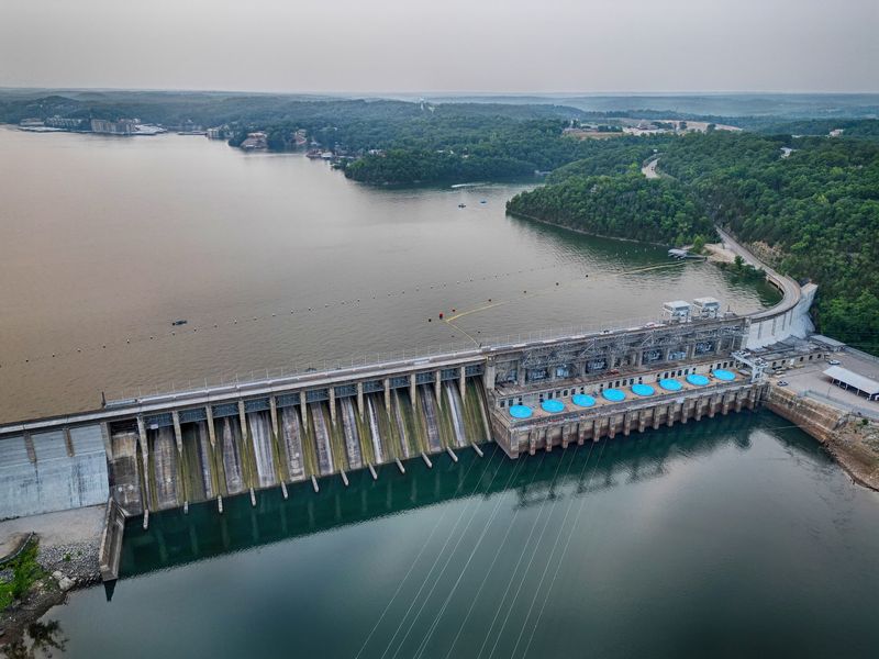
For all its size, the lake does not feel distant once you know what lies below, and I think that is why people keep talking about it in Missouri today.
Big scenery can sometimes wash out the human part of a place, yet here the opposite happens, because the scale makes the submerged stories feel even more startling and close.
You can swim, paddle, hike, or just sit near shore, but once the history settles in, every simple activity gains a little more emotional texture than you first expect there.
That is what makes the place easy to recommend to a friend, since it offers not only fresh air and views, but also a real sense of perspective for life.
If you visit with kids, ask them what they imagine under the water, because their answers usually lead straight to the heart of the whole story without sounding forced either.
If you visit alone, take a quiet moment before leaving and look back across the lake, since reflection comes pretty naturally in a place like this for most people anyway.
That, more than anything, is what stays with you after Lake of the Ozarks, the sense that beauty and memory can share the same water and still feel completely real.
