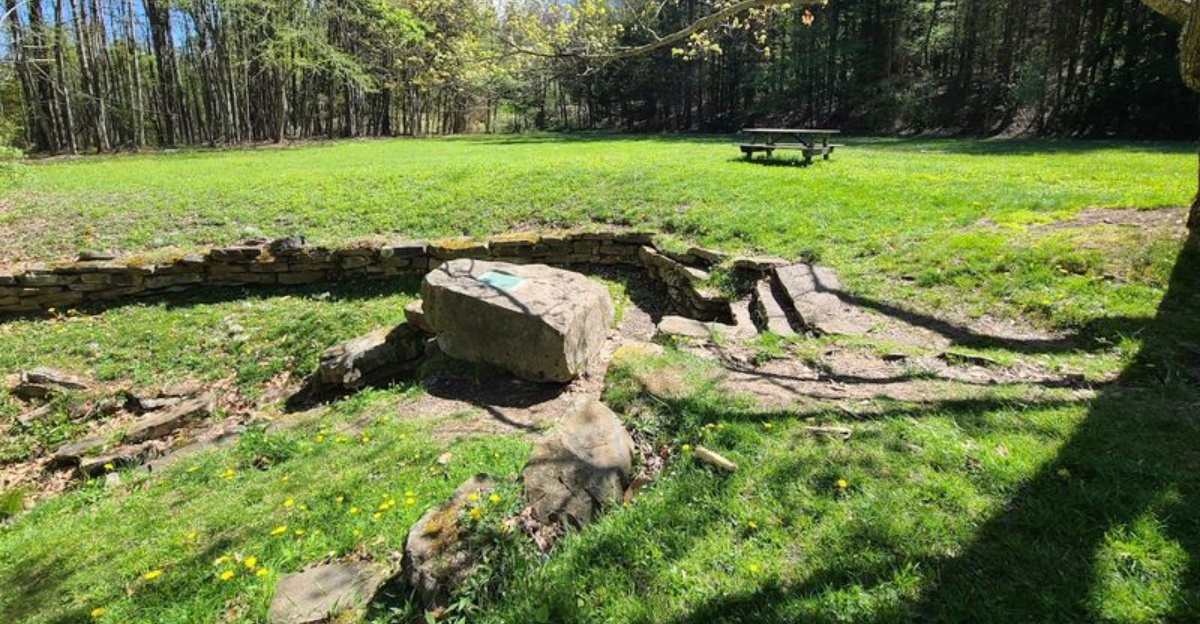
A four-acre state park is barely a parking lot in most places, but this one carries the weight of history.
A simple stone marker placed in the 1700s to settle a land dispute eventually helped determine the boundary between two states.
That is not a rock, that is a quiet giant. The original markers have been replaced over time due to weather and wear, but the significance has never faded.
West Virginia’s smallest park proves that size is irrelevant when the story behind it is this big.
You can walk the same ground where surveyors once stood, staring at a stone that changed everything.
It is history, raw and unpolished, sitting right there on the grass.
A Tiny Park With A Monumental Story
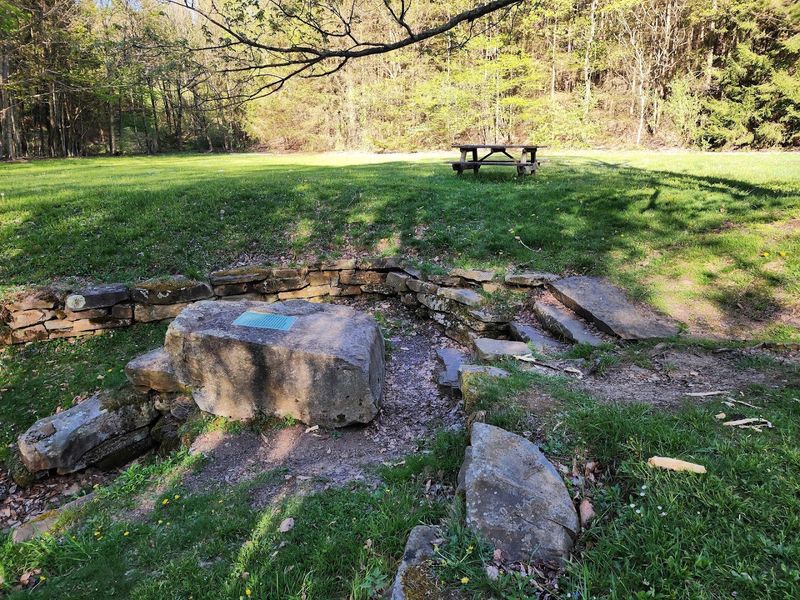
Four acres sounds like a backyard, but this particular patch of West Virginia carries the kind of history that most sprawling national parks can only dream about.
Fairfax Stone State Park became an official state park in 1957, thanks to a land donation from the Western Maryland Railroad, and it has been quietly holding court ever since.
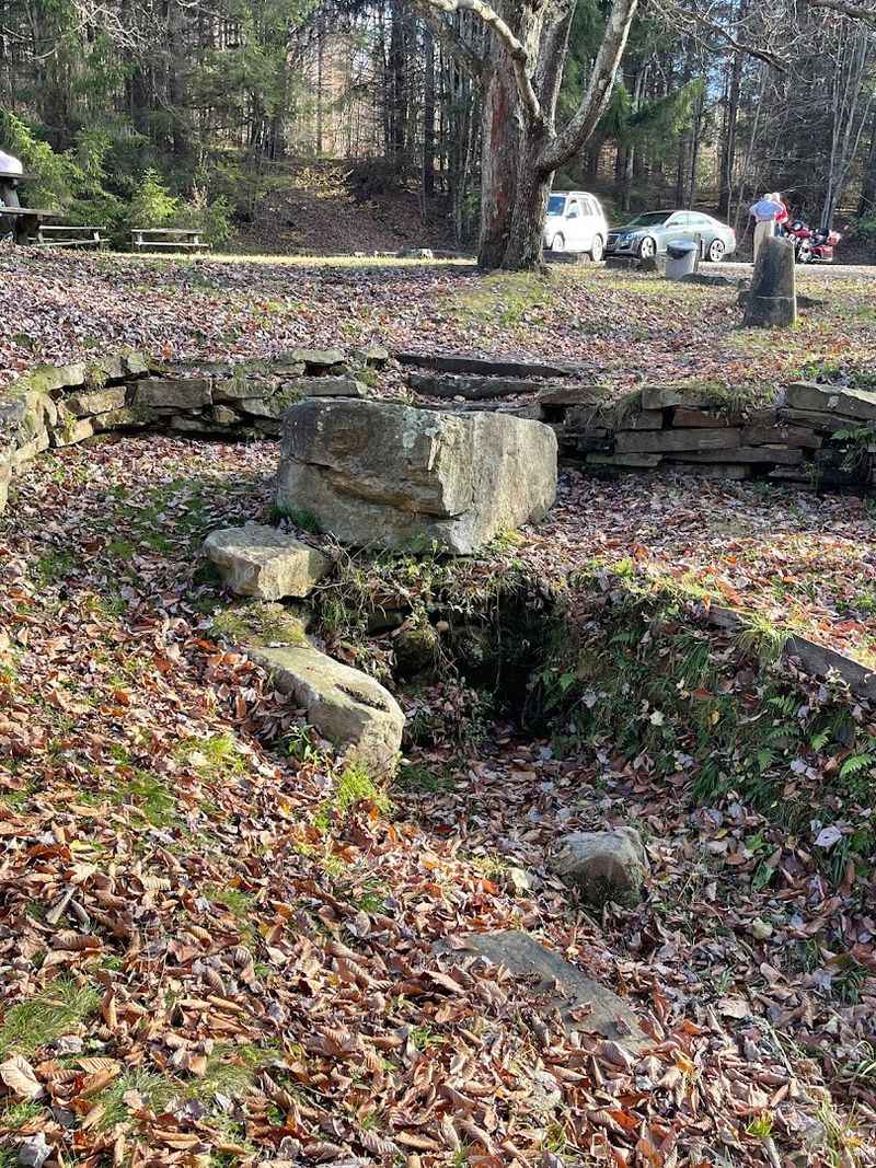
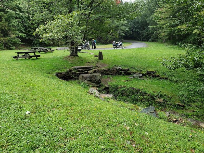
The park itself is stripped down to its essentials. A few picnic tables, open grassy space, and one very important stone sitting at the headspring of the North Branch of the Potomac River.
There are no gift shops, no paved walking trails, and no elaborate visitor centers competing for your attention.
That simplicity is exactly the point. Everything about this place is designed to let the stone speak for itself, and it has quite a story to tell.
Standing here, surrounded by the soft sounds of the mountain landscape, the weight of centuries presses in gently but unmistakably. Small parks can carry enormous legacies.
The Stone That Drew The Line Between States
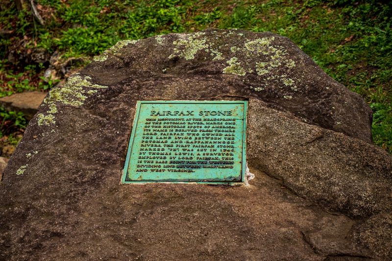
Long before GPS or satellite maps, surveyors had to physically walk through wilderness and hammer markers into the ground to settle who owned what.
The Fairfax Stone was one of those markers, and it carried more legal weight than almost any other rock in American history.
Placed on October 23, 1746, the original stone marked the western edge of the Northern Neck Proprietary, a massive land grant issued by King Charles II of England back in 1649.
That grant covered the land between the Potomac and Rappahannock Rivers, an enormous stretch of colonial Virginia.
The surveying party that placed the stone included Colonel Peter Jefferson, father of the future president Thomas Jefferson. A few years later, in 1748, a teenage George Washington surveyed nearby lands tied to the same grant.
The stone at the headspring of the North Branch became the definitive western anchor of that entire territory, drawing a line that would eventually influence state borders for generations to come.
Fairfax’s Marker Still Holds Legal Weight Today
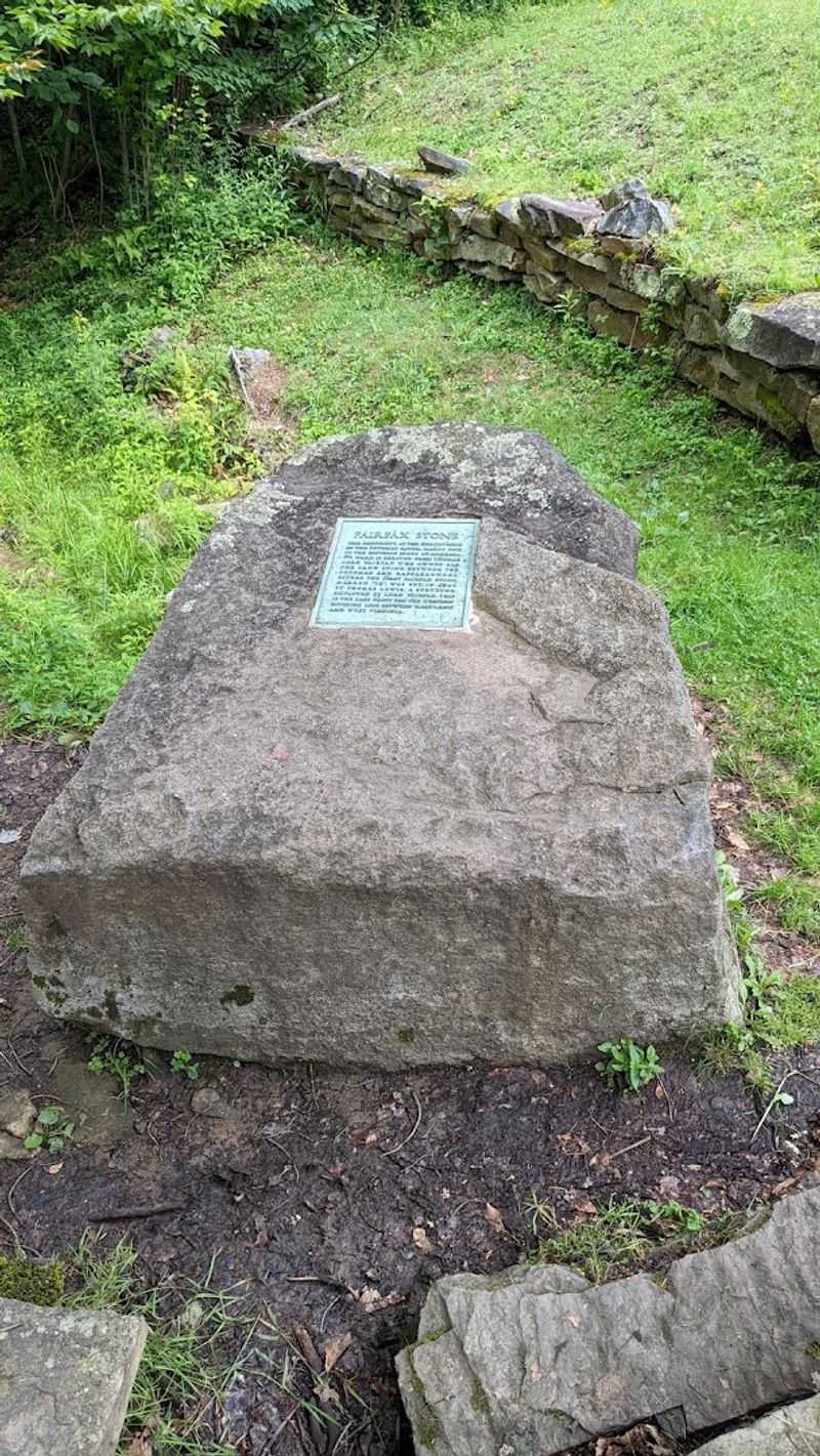
Most rocks just sit there. This one went to the Supreme Court.
The boundary between Maryland and Virginia, and later West Virginia after the Civil War, was genuinely contested for decades, and the Fairfax Stone was at the center of every argument.
The landmark case Maryland v. West Virginia, decided in 1910, finally brought clarity to the dispute.
The Supreme Court ruled that Maryland’s southwestern boundary ran up the North Branch of the Potomac to the point where a north-south line from the Fairfax Stone intersected the river. That ruling is still referenced in legal and geographic discussions today.
The stone’s designation on the National Register of Historic Places on January 26, 1970, added another layer of official recognition to its already impressive resume. It sits at the convergence of three West Virginia counties: Tucker, Grant, and Preston.
That triple-county meeting point alone makes it a geographic curiosity, but the legal history layered on top of that geography makes the Fairfax Stone genuinely irreplaceable as a landmark.
A Border Dispute Settled By A Rock In The Woods
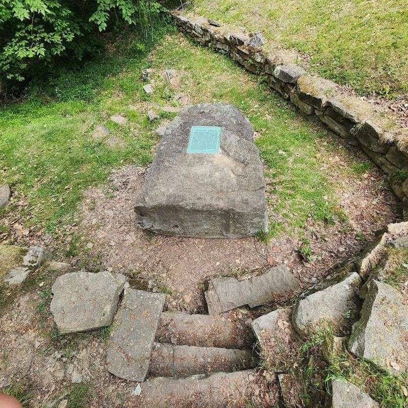
Colonial land grants were written in sweeping, poetic language that sounded authoritative but left plenty of room for argument.
Phrases like “the first spring of the river” meant different things to different surveyors, and that ambiguity kept lawyers busy for well over a century.
The North Branch of the Potomac River begins as a modest trickle right beside the Fairfax Stone. That small spring, barely noticeable if you were not looking for it, became the geographic anchor for one of the most consequential land grant boundaries in early American history.
Entire counties, and eventually state lines, were measured from this spot.
Over the years, the original stone suffered from weathering and vandalism, requiring several replacement markers to be set in its place. Each replacement reinforced the site’s importance rather than diminishing it.
The current six-ton monument, dedicated in 1957, stands as a sturdy and unapologetic statement that this location matters. A simple rock in a quiet woodland clearing settled arguments that lawyers, governors, and Supreme Court justices could not resolve on their own.
History Hidden In A Park Smaller Than A Football Field
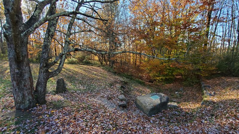
A standard American football field covers about 1.32 acres. Fairfax Stone State Park covers four acres, which means you could fit roughly three football fields inside it and still have room left over for a picnic blanket.
Yet this compact little park holds a piece of American history that most people never learn about in school.
The minimalist design of the park is not a budget shortcut. It is a deliberate choice to let history take center stage without distraction.
Visitors arrive, find the stone, read the plaque, and absorb the significance of the headwaters bubbling up beside the monument. The experience is quiet, focused, and genuinely moving in an understated way.
Stepping onto the grass here feels different from visiting a museum. There are no barriers between you and the history.
You can walk right up to the marker, stand at the headspring, and physically place yourself at the spot where colonial surveyors once drove a stake into the earth. That kind of direct connection to the past is rare and worth every mile of the drive.
A Landmark That Defined West Virginia’s Place On The Map
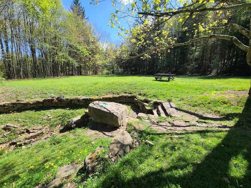
West Virginia became its own state in 1863, splitting from Virginia during the Civil War. When that happened, the Fairfax Stone suddenly became even more critical, because it anchored the northern and western boundaries of the brand-new state.
Without a fixed reference point, those borders would have been impossible to define with any legal certainty.
The stone already had over a century of legal history behind it by the time West Virginia was born. It had served as the western limit of the Fairfax grant, then as a reference point in Maryland-Virginia boundary surveys, and finally as the cornerstone for West Virginia’s own geographic identity.
That is an impressive career for a piece of marked rock.
Being listed on the National Register of Historic Places in 1970 gave the site federal recognition to match its already substantial state and legal significance. The park preserves not just a stone but the physical origin point of decisions that shaped how the entire region is organized today.
West Virginia’s place on the map owes a quiet but meaningful debt to this modest marker.
Visitors Come To See The Stone That Shaped Boundaries
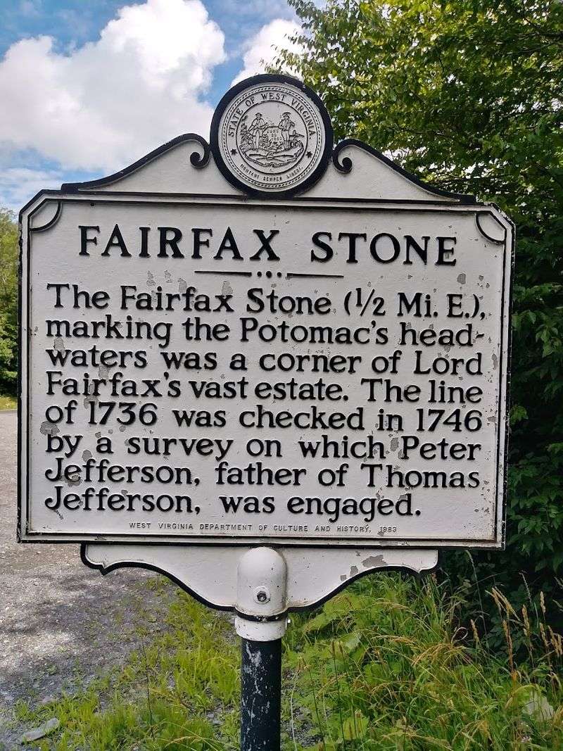
People make a genuine effort to get here, and the road is not exactly a highway. The drive involves narrow pavement and a sense that civilization is falling politely behind you.
But arriving at the clearing feels like a reward, a quiet payoff for the winding miles that led you there.
The informational plaque on the six-ton monument does a lot of heavy lifting. It connects the stone to the Fairfax land grant, the colonial surveyors, young George Washington’s nearby work, and the Supreme Court ruling that finally resolved the boundary disputes.
Reading it slowly is worth the time, because each detail adds another layer to the story.
Visitors who appreciate colonial American history tend to feel a particular pull toward this place.
Standing at the headspring of the North Branch of the Potomac River, right beside the marker that anchored one of the largest private land grants in American history, creates a tangible connection to the past.
It is the kind of experience that sticks with you long after you have driven back down that winding road and rejoined the modern world.
The Smallest State Park With Outsized Importance
West Virginia’s smallest state park does not try to compete with the dramatic waterfalls or sweeping overlooks found elsewhere in the state. It does not need to.
The Fairfax Stone carries enough historical significance to make the four-acre site feel larger than its boundaries suggest.
The park has been well maintained over the years, with the open grass kept tidy and the monument accessible to anyone who makes the trip. Picnic tables offer a spot to sit and absorb the surroundings at a relaxed pace.
The atmosphere is calm and unhurried, which suits the contemplative nature of a historical site perfectly.
Multiple replacement stones have been installed over the centuries as the original and its successors weathered or suffered damage. Each replacement was carefully positioned to honor the exact location of the original marker, preserving the geographic integrity of the site.
That ongoing human effort to maintain this specific spot speaks volumes about how seriously people take its meaning. The smallest state park in West Virginia quietly carries the weight of centuries without ever straining under the load.
This Modest Monument Proves Size Isn’t Everything
Some of the most important objects in American history are surprisingly small. The Fairfax Stone is not small, six tons of monument commands attention, but the park around it is, and yet the significance radiating from this site is anything but modest.
The stone stands as proof that historical weight is not measured in square footage.
A four-acre park with no facilities, no entrance fee, and no scheduled programming has managed to preserve a piece of American history that connects colonial England, the founding fathers, the Civil War era, and the Supreme Court all in one quiet clearing.
Visiting Fairfax Stone State Park leaves you with a particular kind of satisfaction, the kind that comes from finding something genuinely meaningful in an unexpected place. The drive out is scenic.
The clearing is peaceful. The stone itself is impressive up close.
But the real takeaway is the realization that this unassuming marker, placed in the wilderness nearly three centuries ago, helped draw the lines that shaped the map we use today.
Address: W Kempton Rd, Eglon, WV 26716
