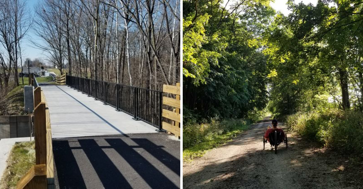
There is a certain sound a bike makes on an old railroad grade. Crunch.
Crunch. Crunch.
It is strangely satisfying, especially when the weather is cool enough that the ride stops feeling like exercise and starts feeling like an excuse to be outside all afternoon. September gives this Indiana trail its best personality, with softer sunlight and trees beginning to trade green for gold.
The route follows a former rail corridor and passes high trestles, creek crossings, and a 1907 depot that has been given a completely different job. With roughly 19 miles available across two segments, there is no need to turn the ride into a challenge.
Sometimes the best fall outing is simply one where the wheels keep rolling.
Rails From 1847 Still Shaping The Route
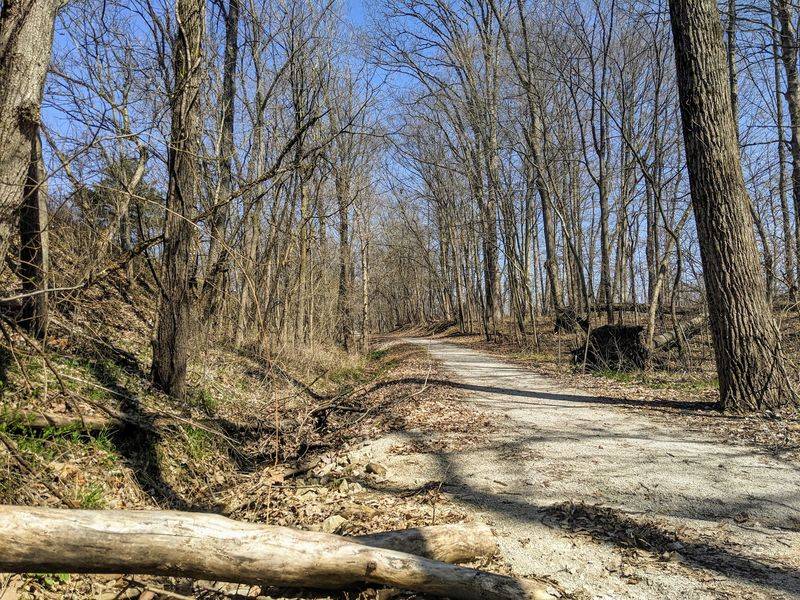
Every gentle curve and long straightaway on this path exists because railroad surveyors drew it that way well over a century ago. The Terre Haute & Richmond Rail Road was chartered in 1847, with the first tracks laid in 1849 and trains running between Indianapolis and Terre Haute by 1852.
Names changed often. The corridor became the Terre Haute & Indianapolis Rail Road, then the Vandalia Rail Road, and eventually part of the Pennsylvania Rail Road system.
The Vandalia Railroad Company was formally incorporated in 1905, pulling together several lines spread across Indiana and Illinois. When rail service ended in the 1950s, the grade sat quiet until it was reborn as a trail.
Riding it feels different once that history sinks in. Railroad beds were built to stay level, which is why the grades here are so forgiving compared to the rolling farm roads nearby.
In Greencastle, a tangible piece of that past still stands. The historic Vandalia Freight Depot, dating to roughly 1888, sits at 308 E.
Berry Street and gives visitors something solid to look at before the ride even begins.
The larger vision goes further. The Vandalia Trail is a piece of the planned National Road Heritage Trail, a 150 to 160-mile multi-use route meant to link Terre Haute with Richmond while tracing the Historic National Road, better known as US 40.
A Trestle Ride 30 Feet Above Crittenden Creek
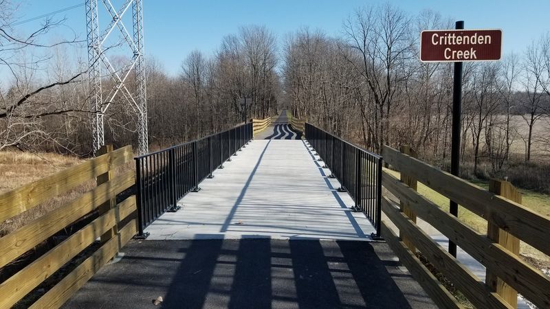
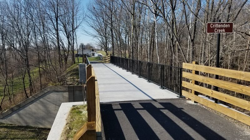
Between Coatesville and Amo, the trail climbs onto an elevated railbed and suddenly the ground drops away. A former railroad trestle carries riders about 30 feet above Crittenden Creek, and the view opens up in both directions across treetops and water.
Slow down here. It is the kind of spot where most people stop pedaling and just look.
Because the railbed sits well above the surrounding land, the sensation is closer to floating than climbing. The creek winds below, framed by hardwoods that catch September light in a way that makes the whole crossing feel cinematic.
This stretch also happens to be one of the smoothest on the western segment. Roughly four paved miles run from Coatesville to Amo, so hybrid bikes, road bikes, and kids on smaller wheels all roll along comfortably.
Equestrians get their own space too. A separate crushed gravel path runs parallel between Coatesville and Amo, which keeps horses and bikes from crowding each other.
For photographers, morning tends to work best, when mist sometimes lingers in the creek bottom. Later in the day the low sun stretches long shadows across the deck.
Plan for a short break on either side of the trestle. There are shaded shelters spaced along the Greencastle to Amo segment, making it easy to linger a little longer than intended.
The 1907 Interurban Depot In Amo
Small towns sometimes hide the best surprises, and Amo delivers one right beside the trail. The Interurban Depot, built in 1907, still stands and is listed on the National Register of Historic Places.
Its job today is much quieter. The building now serves as the Amo Reading Room, swapping ticket windows for bookshelves.
Bikes lean easily against the outside while riders wander over for a closer look at the brickwork and rooflines. It is a reminder that interurban lines once threaded through rural Indiana, connecting places that now feel pleasantly off the beaten path.
The Amo Trailhead sits at 5042 South Street, Amo, IN 46103, with parking, restrooms, and a drinking fountain. A bicycle repair station with an air pump waits there too, which is genuinely reassuring on a longer autumn ride.
Additional parking can be found near the intersection of Railroad Street and Vine Street. Either access point puts riders within easy reach of the paved section heading west.
What makes Amo memorable is scale. The town is tiny, the pace is unhurried, and the depot anchors everything like a well-kept souvenir from another era.
Give it fifteen minutes. Even a quick stop adds a layer of story to the day that a purely scenic ride would miss entirely.
Surfaces That Change As You Roll
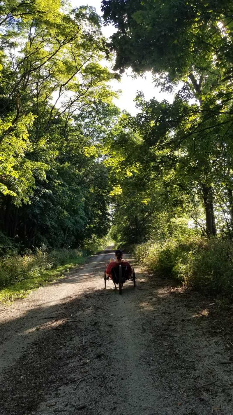
One of the quirks riders notice quickly is that the Vandalia Trail refuses to feel the same for long. The stretch from Greencastle to Coatesville rolls along packed crushed stone, firm enough for most tires yet soft enough to hear every rotation.
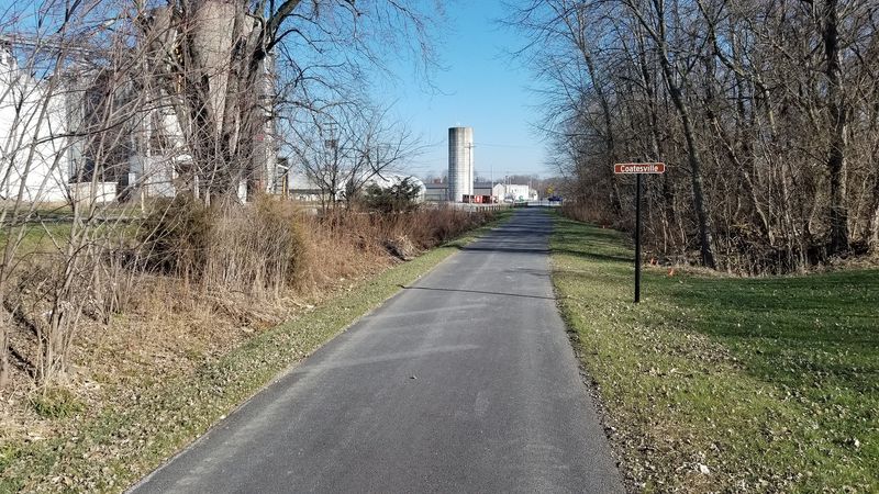
Then the character shifts. From Coatesville to Amo the trail turns paved, about four smooth miles that invite a faster pace.
Over in Plainfield, the entire segment is paved, which makes it friendly for inline skating and wheelchair use as well as cycling. Other portions of the corridor still include dirt and grass, giving a rougher, more natural feel that suits wider tires.
Tire choice matters more than bike choice. Hybrids and gravel bikes handle the whole mix without complaint, while narrow road tires are happiest on the paved sections.
The changing textures also change the mood of a ride. Crushed stone slows things down and encourages looking around, while pavement tempts riders into a rhythm.
Total open mileage sits near 19 miles across two segments that are not yet connected. Roughly 12 miles run between Greencastle and Amo, while about 7 miles cover Plainfield and the western edge of Indianapolis.
Knowing that split helps with planning. Pick one segment per outing, and the day stays relaxed instead of rushed.
Farmland, Woods, And Wildflowers On Repeat
Scenery along this corridor keeps rearranging itself. Open farmland stretches out on one side, then dense woods close in, then a patch of prairie wildflowers takes over the shoulder of the path.
Birdwatchers do well here. Bluebirds, finches, and herons are regularly spotted along the route, especially near creek crossings and open field edges.
A generous canopy of trees shades much of the trail, which matters even in September when afternoon sun can still feel strong. That leafy tunnel effect also makes fall color feel closer and more immediate than it does from a car window.
Small details reward slow riding. Seed heads bending in the breeze, the papery rustle of drying corn, insects buzzing over late-season blooms.
The mix of habitats is part of why the trail feels longer than its mileage suggests. Landscapes change often enough that boredom never really gets a chance.
Bring binoculars if birds are the goal. A pocket-sized pair fits easily in a jersey pocket or handlebar bag.
Charming small towns punctuate the greenery, appearing just often enough to break up the countryside. Between Greencastle, Fillmore, Coatesville, and Amo, there is always another cluster of buildings ahead.
September light does something special to all of it, turning ordinary Indiana farmland into something worth stopping for.
Plainfield’s Tunnel, Parks, And Family-Friendly Miles
The eastern segment has a completely different personality. Around 7 miles of paved path wind through Plainfield and reach toward the outskirts of Indianapolis, threading between quiet woodlands and residential streets.
Kids love the tunnel. The trail dips under Saratoga Parkway, and the echo alone is worth a second lap.
Further along, the route leads toward Splash Island Family Waterpark and links up with the White Lick Creek Trail near the ballparks and playgrounds of Franklin Park. That connection makes it easy to stretch a short ride into something longer without repeating the same scenery.
Access points are straightforward. Vandalia Boulevard in Plainfield works well as a starting spot, and the paved surface suits strollers, skaters, and wheelchair users alongside cyclists.
Because everything here is smooth and mostly flat, this is the segment to choose for beginners or families with young riders. Shade covers plenty of it, and the suburban setting means help or a restroom is rarely far away.
The vibe leans neighborhood rather than remote. Joggers, dog walkers, and after-school riders share the path, which gives the whole stretch a lively, social feel.
Pair it with a stop at Franklin Park if the group includes anyone under ten. Playground time turns a bike ride into a full afternoon.
September Group Rides And Small-Town Gatherings

Timing a visit for September unlocks more than good weather. Weekly Vandalia Trail Bike Rides run on Tuesday evenings from May through September, alternating start points between Amo and Plainfield.
Rides launching from Amo gather at the trailhead near Railroad Street and Pearl Street, also reachable at 5042 South Street. Plainfield departures start from the south end of the parking lot at the Richard A.
Carlucci Recreation & Aquatic Center.
Cooler, crisper air makes longer distances far more comfortable than midsummer heat. Autumn color begins creeping into the canopy, and the tree-lined path turns into a genuine spectacle.
Bigger events add to the appeal. National Road Heritage Trail, Inc. organizes a bike ride on September 19, starting at 9:30 AM from the People Pathways gazebo across from the Walmart Supercenter in Greencastle.
That particular route covers a substantial 26 miles, crossing much of Putnam County and reaching several miles into Hendricks County. It is a solid goal for anyone wanting to see a large chunk of the corridor in one go.
Community life spills over too. The Fillmore Volunteer Fire Department holds its annual Chicken BBQ on September 18-19, just north of the trail.
Trailheads in Amo and Coatesville offer restrooms, drinking fountains, and repair stations. Parking is available in Greencastle near North Calbert Way, in Fillmore on Putnam Street, and in Coatesville on Railroad Street.
