There is a trail in New Jersey where the crowds vanish and the views feel like a secret.
Locals have been keeping this spot quiet for years, a wooded escape where you can hike in peace without the usual weekend traffic.
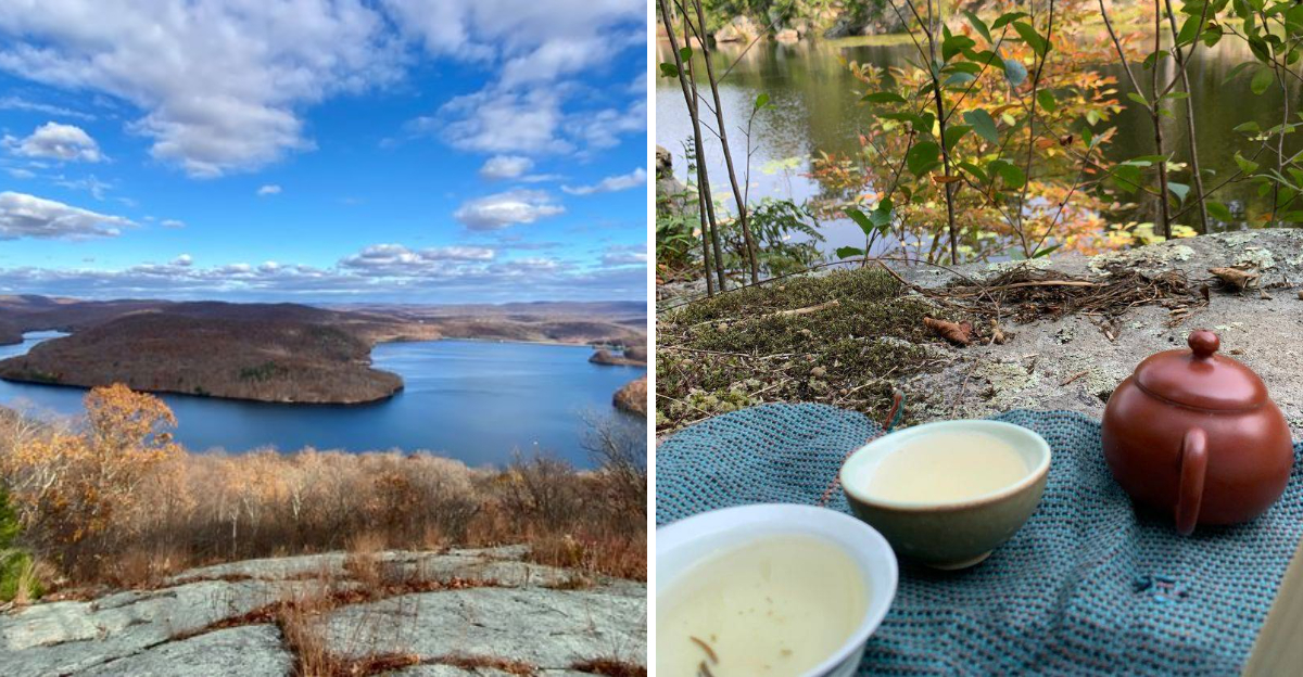
The path winds through a shaded forest, past rock formations and old quarry sites, before opening up to a stunning overlook across a sprawling lake.
On a clear day, you can spot the New York City skyline on the horizon, a reward that makes the climb worth every step.
The trail is a moderate challenge, with rocky sections and plenty of up and down to keep things interesting.
It is the kind of hike where you actually forget you are in New Jersey, and that is exactly the point.
This is the spot locals go to get away from it all.
A Trailhead Hiding At The End Of A Quiet Street
Most trailheads announce themselves with big signs and packed lots. Not this one.
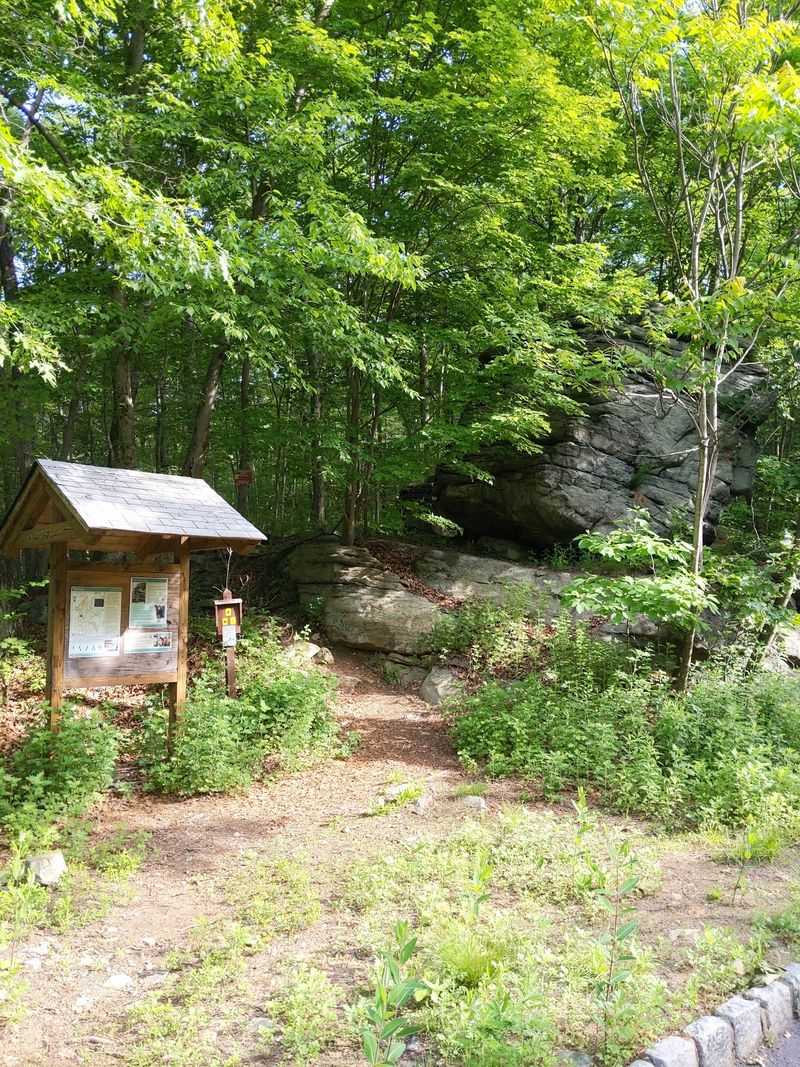
The path begins where a residential road runs out, marked by a modest kiosk and a large stone that regulars use as a landmark.
Parking is street parking along Crescent Drive, and since that stretch is not residential, there is usually plenty of room to pull over. Arrive early anyway if you want the easiest spot.
Something about that low-key entrance sets the mood right away. No ticket booth, no crowds milling around, just a gap in the trees and a blaze pointing you uphill into Norvin Green State Forest.
The first steps follow the Manaticut Spur Trail, blazed yellow with a black dot, which links the road to the main trail system. It is short, but it does the job of separating you from the neighborhood quickly.
Within minutes the houses vanish behind you. What replaces them is a rocky woodland that feels far bigger and wilder than the drive in suggested.
Rocky Ground That Keeps You Honest
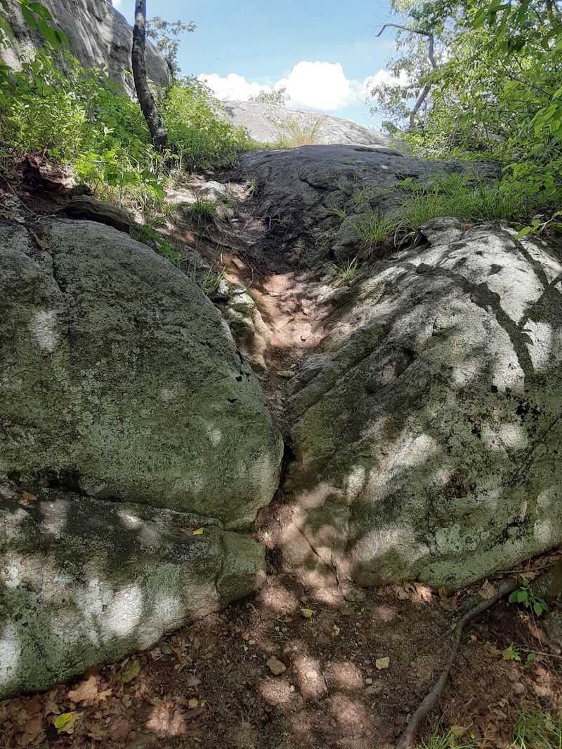
Anyone expecting a smooth woodland stroll will recalibrate fast here. The tread is rough, laced with roots and studded with rock, and it climbs and drops with very little warning.
Sturdy shoes matter. Trail runners work for some people, but ankle support pays off on the loose, uneven sections.
Glacial boulders show up early, huge rounded chunks left behind long ago, and there are short scrambles where hands come in handy. None of it is technical climbing, though it does demand attention.
Descents deserve extra respect. Wet rock turns slick, and in autumn a layer of fallen leaves can hide exactly where your foot is about to land.
Streams cross the route in a few places, sometimes flowing, sometimes bone dry depending on recent rain. Stepping stones usually get you across without soaked socks.
The reward for all this effort is a hike that feels earned. Legs will complain the next day, and honestly, that is part of the appeal.
Following Yellow, White, And Orange Blazes
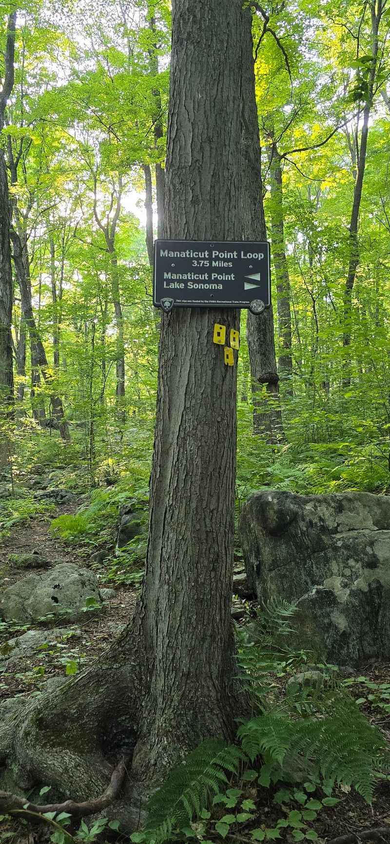
Color-coded paint marks do the navigating here, and learning them before you go saves a lot of squinting. The Manaticut Spur wears yellow with a black dot, while the main Manaticut Trail is straight yellow.
Overlook Rock Trail carries white blazes, and the Lake Sonoma Trail runs orange. In several spots two colors share the same tree, which simply means the routes overlap for a while.
That overlap is what lets hikers build loops of different lengths, usually somewhere between four and seven miles depending on choices made at junctions.
Autumn brings one small catch. Yellow blazes can blend into yellow leaves, so slow down at turns and look for the next mark before committing.
Wide ATV-style woods roads occasionally cross the narrow footpath, and those can be tempting to follow by mistake. Downloading a map beforehand is a smart backup since cell service is not guaranteed.
Pay attention and the system works beautifully. Wander off distracted and you will be backtracking.
Lake Sonoma, The Quiet Heart Of The Hike
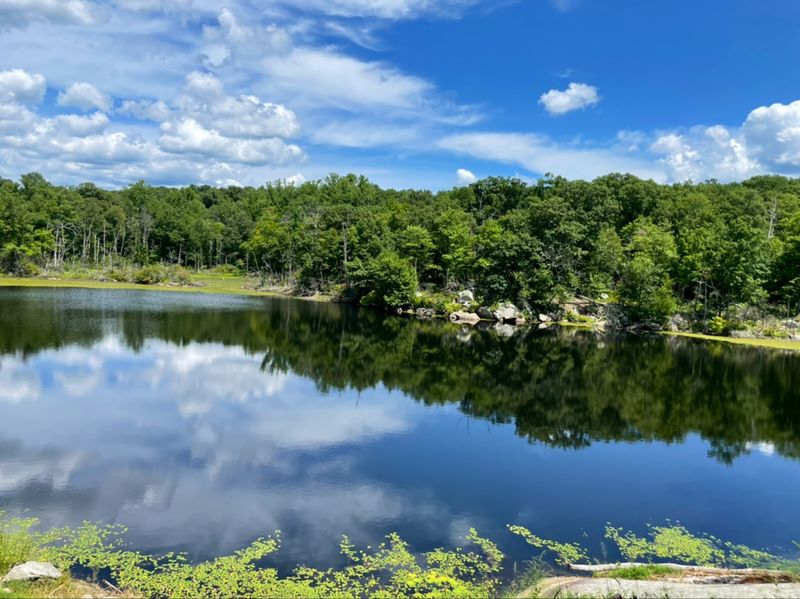
Somewhere in the middle of all that rock, the trees open and there it is: a still, undeveloped lake with no docks, no buildings, nothing but shoreline and sky.
Lake Sonoma feels genuinely untouched. Fish break the surface, frogs sound off from the reeds, and the whole basin holds a calm that makes people instinctively lower their voices.
The trail hugs the shore for a stretch, giving glimpses through the trees and a few open rock outcrops right at the water’s edge. One large sloping rock face makes a natural spot to sit for a snack.
Beaver activity shows up nearby, with chewed stumps giving away who has been busy. Spotting those little clues adds a fun layer to the walk.
Birds work the shallows, dragonflies hover, and on warm afternoons the light on the water is genuinely lovely.
Plenty of hikers say the lake alone justifies the trip. It is the softest part of an otherwise rugged route.
Overlook Rock And Its Wide Open View
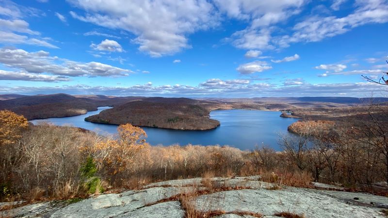
Reaching Overlook Rock takes a short push up a ledge, and then the forest just drops away. The view swings wide across the highlands in a way that stops conversation for a minute.
Lake Sonoma sits below, catching light. Beyond it, Windbeam, Bear, and Board Mountains rise in layered profiles, with the Ramapo Mountains fading blue along the horizon.
The ledge is broad enough to spread out on, which makes it a natural lunch stop. Bring something worth eating, because you will want to linger.
Watch the edges with kids and dogs. There are no railings, and the drop is real.
A small detail worth knowing is that the overlook sits slightly off the main path, so it is easy to blow right past if you are not watching for the spur.
Small planes sometimes pass overhead, hawks circle on thermals, and the whole scene feels much more remote than the drive time suggests.
Manaticut Point And A Skyline You Would Not Expect
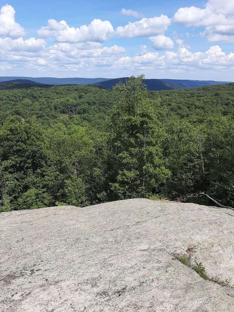
The high payoff comes at Manaticut Point, an open rock ledge with elevation topping out around 1,084 feet along these routes.
Ridges roll outward in every direction, green in summer and burning orange by mid-autumn. It is the kind of spot where people sit down without meaning to and stay a while.
Clear days hold a bonus. Look east and the New York City skyline shows up as a faint cluster of shapes on the horizon, tiny and strange against all that forest.
Haze hides it often, so pick a crisp day after a cold front if that view is your goal. Winter and late fall tend to deliver the sharpest visibility.
The descent from the point is long and rocky, easily a mile of careful stepping, and knees will notice.
Take it slowly and use trekking poles if you have them. Rushing downhill here is the fastest way to turn a great day into a rough one.
Wildlife, Wildflowers, And Blueberry Bushes
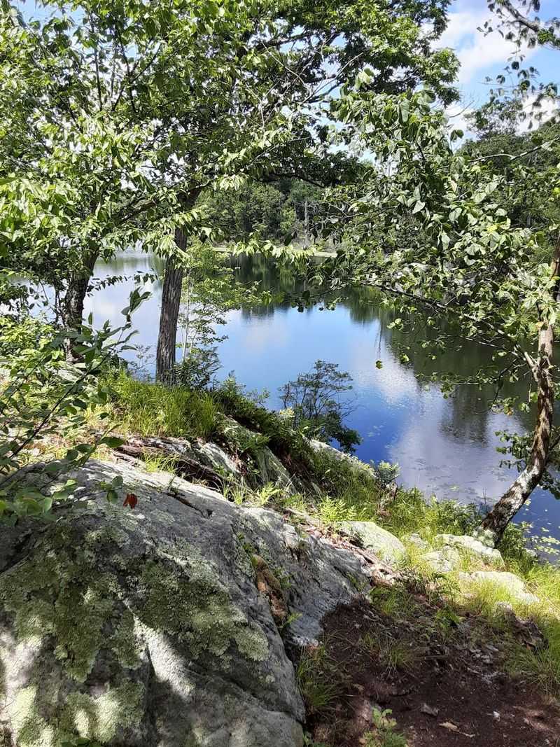
Ferns crowd the trail edges in summer, and low blueberry bushes grow thick across the rocky uplands. The plant life alone gives the route a distinctly wild highlands character.
Chipmunks dart across the path constantly. Deer turn up near the trail’s end, sometimes right on the neighborhood street, calmly ignoring everyone.
Frogs, butterflies, and dragonflies gather near the water, and hawks often ride the air currents above the ridges.
Snakes live here too, which is worth knowing rather than fearing. Black rat snakes are common and harmless, while timber rattlesnakes and northern copperheads exist in the region and are best given plenty of space.
Making a bit of noise, watching where you place hands on rocks, and staying on the path handles most of it.
Long sleeves and pants help with brush, bugs, and ticks, especially since narrow sections have you brushing against greenery.
Respect the wildlife and the forest gives back a genuinely rich day out.
Picking The Right Season For Your Visit
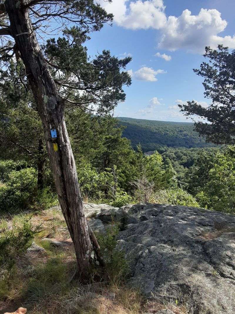
Autumn steals the show. Maples and oaks light up across the ridges, temperatures cool off, and the clear air pushes the long views further.
The catch is leaf cover. Slick footing and hidden rocks make the descents trickier, so slow down.
Spring brings running streams, fresh green growth, and a forest that smells like wet stone and new leaves. Bugs pick up as things warm.
Summer stays surprisingly comfortable because much of the route is shaded, with full sun mainly at the exposed rock ledges up top. Carry more water than you think you need.
Winter turns the place beautifully quiet, though ice on the rocky sections is a genuine hazard. Traction spikes and layers make it doable for prepared hikers.
Hunting is permitted in designated areas of the forest under state regulations, so wearing bright orange during hunting seasons is a sensible move.
Whatever month you choose, the trail rewards a clear-sky day above everything else.
Solitude That Is Getting Harder To Find
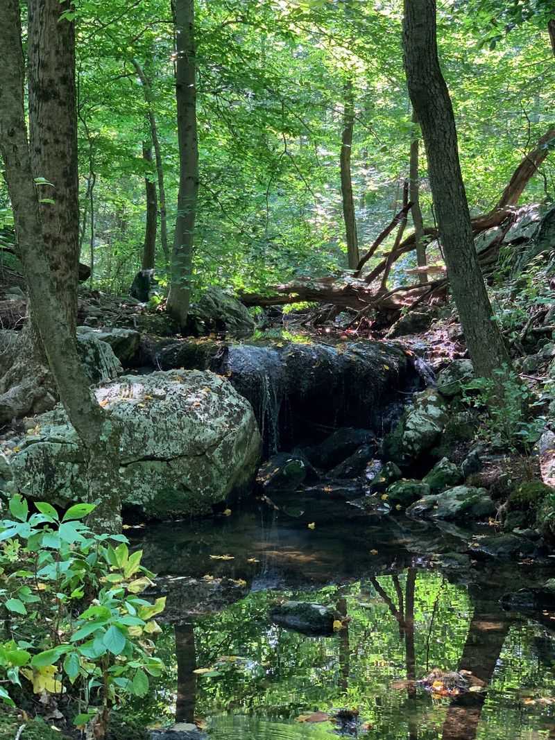
Hours can pass here without seeing another person. On weekdays especially, the trail belongs to whoever showed up.
That emptiness is the whole draw for locals who have grown tired of jostling for parking and waiting in line at more famous overlooks nearby.
Quiet like this changes how a hike feels. You start noticing small sounds, wind moving through the canopy, water trickling under rocks, your own footsteps on stone.
Some sections are rugged and a little overgrown, with vegetation narrowing the corridor, while other stretches follow wide old woods roads that feel almost like lanes.
Solitude does come with responsibility. Tell someone your route, carry a paper map or offline download, and pack a headlamp in case the miles run longer than planned.
Hiking with a partner is smart on the more remote stretches.
For anyone who values peace over popularity, this corner of the forest delivers exactly what it promises without any fuss.
Practical Tips Before You Lace Up
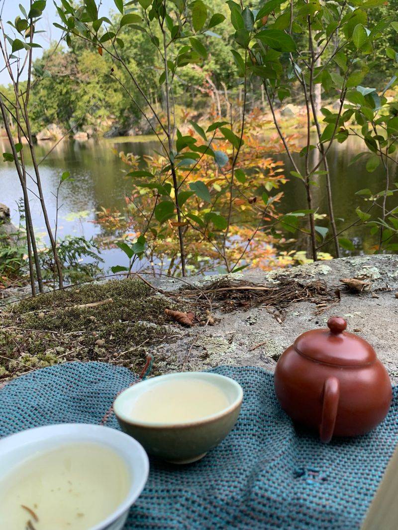
Timing matters more than distance on this one. A loop that reads as four miles often turns into five or more once you add the spur trail in and out, and three hours is a realistic window.
Water is essential, since there is nowhere to refill along the way. Two liters is a fair starting point in warm weather.
Going counterclockwise puts the rock scrambles earlier, while your legs are still fresh, which many hikers prefer.
Sturdy footwear, snacks, sunscreen for the exposed ledges, and a small first aid kit round out the basics. Trekking poles genuinely help on that long final descent.
Motorized vehicles are not allowed on park trails, so stick to walking and pack out everything you carry in.
Norvin Green State Forest covers roughly 4,365 acres with more than 24 miles of trails, meaning there is plenty left to explore on return visits to this pocket of New Jersey.
You will find it at Manaticut Point Trailhead, 2-40 Crescent Dr, Ringwood, NJ 07456.
