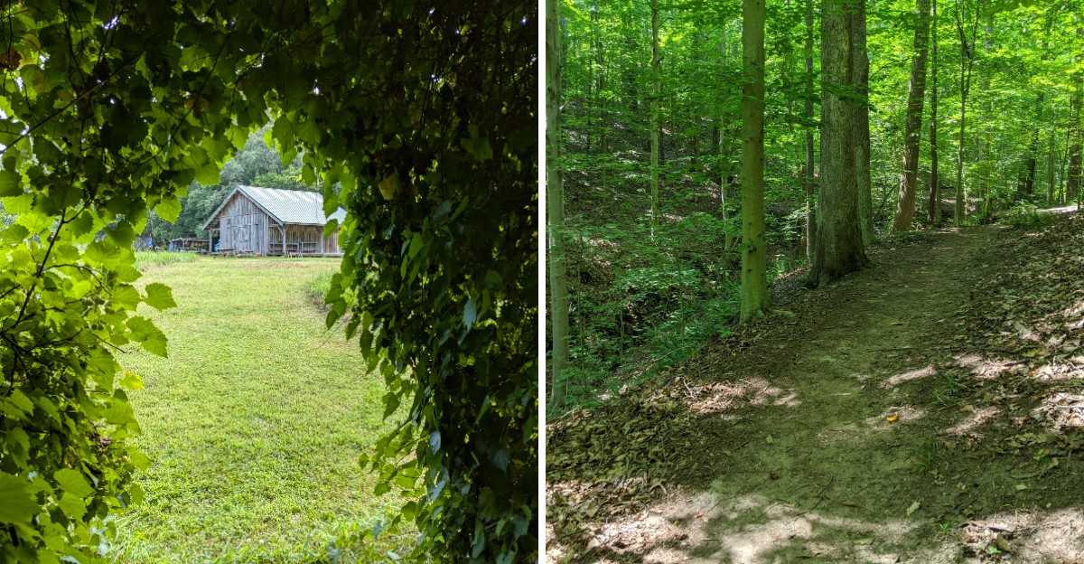
Some trails are busy. Others feel like you have stepped into a dream.
This Maryland path falls into the second category. The woods are thick, the sounds are muffled, and the light filters through the trees in a way that makes everything feel softer.
You can walk for a while without seeing another person, just the trail ahead and the quiet around you. The path is gentle, easy to follow, and rewards slow steps.
There is something about the stillness that resets your mind. Locals treat it as a regular escape, while visitors feel like they stumbled onto something hidden.
A reminder that not every adventure needs to be grand. The kind of trail that feels like a deep breath.
The kind of walk that stays with you.
A Barn, A Map, And The First Few Steps
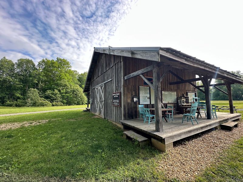
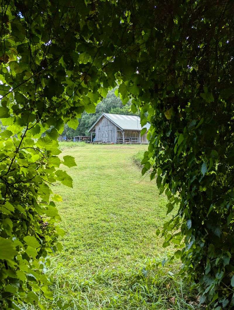
First impressions here are refreshingly low-key. There is a gravel lot, a newer barn that works as an information center, and a rack of printed trail maps waiting for whoever needs one.
Visitors are asked to sign in, and it is worth doing. Those numbers help the Trust apply for grants that keep the whole trail system funded and maintained.
The North Side Trailhead sits at 676 Double Oak Road in Prince Frederick, Maryland, and it doubles as the organization’s headquarters. Parking is generous, which is unusual for a preserve of this size, and portable restrooms sit right near the cars.
Grab a paper map even if your phone works fine. Cell service gets patchy deep in the ravines, and the color-coded markers make far more sense with the printed version in hand.
Right past the lot, a flower garden softens the transition from pavement to forest. Kids tend to stall out there, poking at bees and blooms, before anyone actually starts hiking.
Trails open at dawn and close at dusk, every single day of the year, and there is no admission charge. Early mornings bring the best birdsong and the thinnest crowds.
Something about the quiet registers immediately. Even on warm weekends, the parking area rarely feels busy, and within five minutes of walking the road noise disappears completely.
Take a moment at the barn to check for posted notices. Trail closures happen occasionally, and knowing before you go saves a long backtrack.
Twenty Six Miles Of Choices, From Easy Strolls To Leg Burners
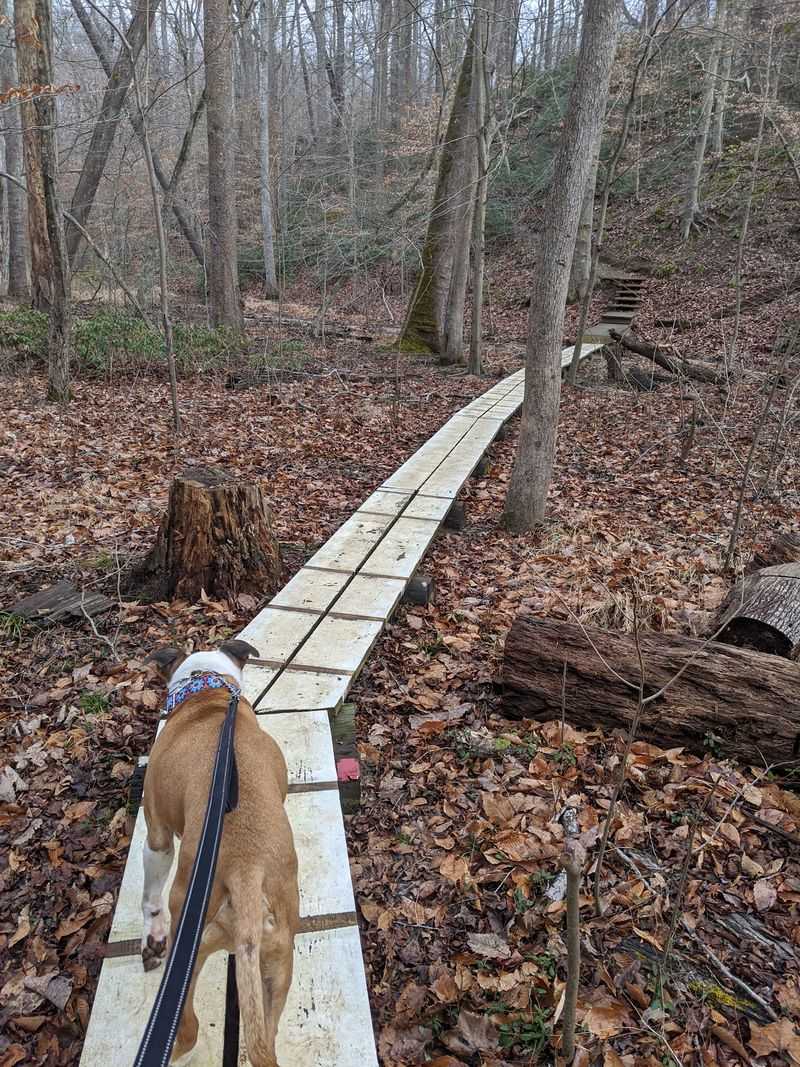
The trail network is the real draw, and it is bigger than most people expect. More than 26 miles wind across wildlands, several forest types, and a tangle of creeks and streams.
Flat and wide is an option. Double Oak Lane and Double Oak Road give an easygoing walk for strollers, unsteady knees, or anyone who just wants trees without effort.
Then there is the other end of the scale. The Horse Swamp Trail rolls through narrow, tree-tunneled passages and hilly ground that can easily eat an hour or more.
Ambitious hikers gravitate toward the Prince Frederick to the Bay Overlook Trail, a 12.2-mile ramble that crosses footbridges built by local Boy Scout troops. It is a full day, not a casual afternoon.
What makes planning fun is how the trails link together. Pick one loop, or stitch three into something longer, and adjust as the mood shifts.
Cyclists have options too, though limited ones. The East Loop Trail and Oriole Trail allow mountain biking, while the rest stay hiker-only.
Steep hills show up more often than the phrase Coastal Plain suggests. If climbs are not your thing, the meadow trail is the gentlest route in the whole system.
Blazes are painted clearly and signage at junctions is straightforward, so getting genuinely lost takes real commitment. Volunteers maintain it all, which explains why the paths stay in such good shape.
Staying on marked routes matters here, both for the plants and for the animals living just off-trail.
The Hand Pulled Raft Everybody Talks About
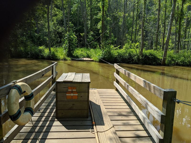
Of all the things hidden into these woods, one wins the popularity contest without trying. A small raft, pulled hand over hand along a rope, carries hikers across the water to the opposite bank.
It looks like something borrowed from an old river novel. Families load on, everybody hauls, and the crossing becomes the story people retell later.
There are posted instructions, and following them is not optional. The water is not deep drama, but a slip still means wet boots and a cranky walk back.
Kids lose their minds over it in the best way. Adults pretend to be above the excitement for roughly eleven seconds.
Beyond the novelty, the raft serves a practical role. It connects trail sections that would otherwise require a long detour, opening up loops across the creek.
The crossing point sits in a genuinely pretty spot, with Parkers Creek water sliding past low banks and trees leaning in overhead. Plenty of hikers stop here just to sit.
Timing helps. After heavy rain, water levels rise and low-lying approach trails can flood, so waterproof boots earn their keep.
One more tip worth knowing: the raft is a one-group-at-a-time affair, so a little patience goes a long way on busier weekend mornings.
It is a small piece of engineering, nothing flashy at all. Yet it turns an ordinary forest walk into something people describe with actual enthusiasm months afterward.
Birds, Deer, And Nearly Two Hundred Reasons To Bring Binoculars
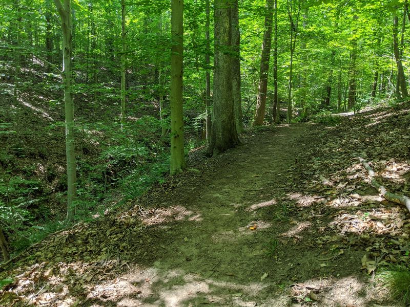
Serious birders already know about this place. More than 195 bird species have been reported across the preserve, which puts it firmly on the regional watching map.
Spring migration turns the canopy into a noisy apartment building. Warblers move through, and the mix changes week to week.
The understory does a lot of the heavy lifting for wildlife. American Holly and Mountain Laurel dominate beneath mature hardwoods, creating thick cover where small creatures can hide and nest.
Mammals show up regularly for anyone walking quietly. Deer, squirrels, raccoons, and wild turkey all move through these woods, and turkeys in particular have a talent for startling hikers.
There is a historical thread here too. Many of these animals once depended heavily on the American Chestnut, whose nuts fed entire forest food chains before blight wiped out the species across its range.
Vultures sometimes work the marsh edges, which is less charming but genuinely fascinating to watch. Nature does not always arrange itself prettily.
For better odds, go early and go slow. Standing still for two minutes reveals more than an hour of brisk walking ever will.
Plant lovers get their share as well. Foragers and forest-bathing types often comment on how many identifiable species grow along these paths, though harvesting is not the point on protected land.
Poison ivy grows here too, so glance before grabbing a branch for balance on the steeper sections.
Parkers Creek, The Crown Jewel Nobody Should Skip
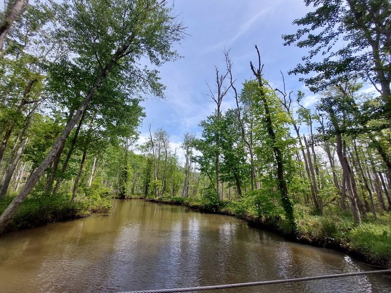
Ask anyone at the Trust what matters most and Parkers Creek comes up fast. It is frequently called the crown jewel of the property, and the description holds up.
The creek system runs through unspoiled salt marsh and wooded freshwater wetlands where signs of human activity stay remarkably scarce. Guided canoe trips offer a water-level look at it.
Paddling changes the perspective entirely. Marsh grass towers beside the boat, and the silence out there has a different quality than forest silence.
The surrounding terrain surprises first-time visitors. Despite sitting on the Coastal Plain, the land is cut by tributary streams running through deep, steep-sided ravines.
Those ravines are why the hills feel real. Trails drop and climb repeatedly, following water that has been carving the same grooves for a very long time.
Governors Run makes up the second watershed under the Trust’s care, and together they explain why this landscape stayed intact while development crept along the rest of the county.
Hikers who want water views without a boat still have plenty. Trail sections trace creek banks, and footbridges cross smaller streams where the sound of moving water follows you along.
Bring bug spray in warm months, seriously. Gnats, midges, and mosquitoes gather near the wet areas and they are persistent well past the point of politeness.
Autumn and early spring give the cleanest creek views, with thinner foliage and far fewer insects to negotiate with.
Chasing The Bay Overlook And Managing Expectations
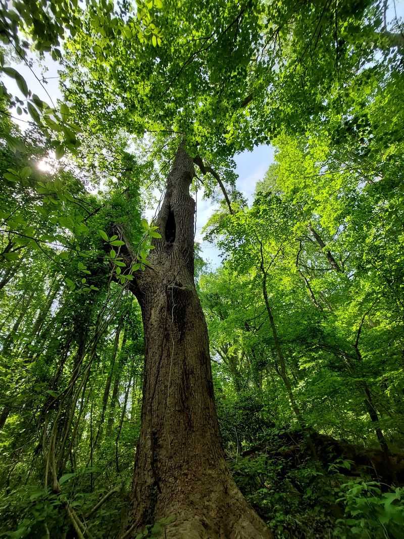
The Bay Overlook has a reputation, and it is a slightly complicated one. Trails such as the Horse Swamp route lead toward the Chesapeake, ending at a rest area where the water reveals itself through the trees.
Here is the honest part. Dense tree cover often blocks the wide-open panorama people imagine, especially once summer leaves fill in.
Go in winter or very early spring instead. With bare branches, the Bay opens up and the payoff matches the effort of getting there.
The overlook stops well back from the cliffs and does not connect to any beach. Knowing that in advance saves disappointment at the turnaround point.
Even so, the walk there is the actual reward. Rolling hills, narrow tree-lined passages, and marsh edges make the miles pass quickly.
The blue trail is a popular approach, and it works well even on gray, snowy days when the water looks moody rather than sparkling.
Benches at the end invite a long sit. Pack a snack and some water, because the return trip involves the same hills you just came down.
Dog owners should plan generously on water. Big dogs drain bottles fast on this route, and there is nowhere to refill along the way.
Treat it as a destination with character rather than a postcard viewpoint. The quiet at the end of that trail is its own kind of scenery.
Where The Name Comes From, And The Stump Still Standing
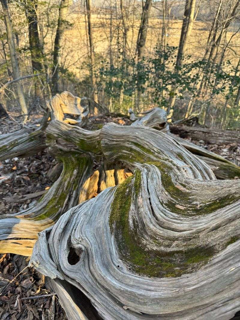
The organization’s name is not decorative. A Maryland State Champion American Chestnut once stood on the very first parcel the Trust acquired.
Blight eventually took it, as it took billions of chestnuts across the eastern United States. The stump, however, can still be found along the Chestnut Spur Trail.
Seeing it in person hits differently than reading about it. Chestnuts once fed people, livestock, and wildlife across whole regions before a fungus rewrote the forest in a few decades.
Groups like the American Chestnut Foundation continue restoration work, breeding trees with better resistance. The stump makes that effort feel urgent rather than academic.
Interpretive points along the trails explain how the species fit into the larger web, showing the way one tree’s loss rippled outward through birds, mammals, and soil.
The Trust itself dates to 1986, when local residents bought land specifically to keep it out of development. That single decision snowballed.
Today the conservation footprint sits near 4,000 acres through owned land, managed state land, and conservation easements. Partnerships with The Nature Conservancy and the Maryland Department of Natural Resources extend the reach further.
There is working land here too. Double Oak Farm uses regenerative growing methods, and the produce goes to local food pantries.
Educational programs run for both children and adults, which is why school groups and curious retirees end up on the same trails.
The Trust also formally acknowledges this land as the ancestral home of the Piscataway Confederacy and honors the African Americans, enslaved and free, who farmed here.
Packing Smart So The Quiet Stays Enjoyable
A little preparation turns a decent hike here into a great one. Waterproof, closed-toe boots top the list, since low-lying stretches near the creeks flood after rain and some climbs get slick.
Bug spray belongs in the pack from late spring through early fall. Gnats and midges swarm near the water, and mosquitoes have been known to escort hikers well away from the marsh.
Water deserves real thought, especially with a dog along. There are no fountains on the trails, and big dogs go through more than owners expect.
Leashes are required at all times, no exceptions, for the sake of wildlife and other visitors alike.
Pack-in, pack-out is the policy, and it is taken seriously. There are no trash cans, so whatever comes in with you leaves with you.
Check the Trust’s website before driving out. Sections sometimes close during fall and winter deer management activity, and knowing saves a wasted trip.
Maps come in paper form at the trailheads or as a download for your phone. Either way, the color blazes handle most of the navigation.
Watch for poison ivy along trail edges, and wear long socks if you are sensitive to it.
Most importantly, allow more time than the mileage suggests. The hills, the raft crossing, and the urge to just stand and listen all slow people down in the most satisfying way.
