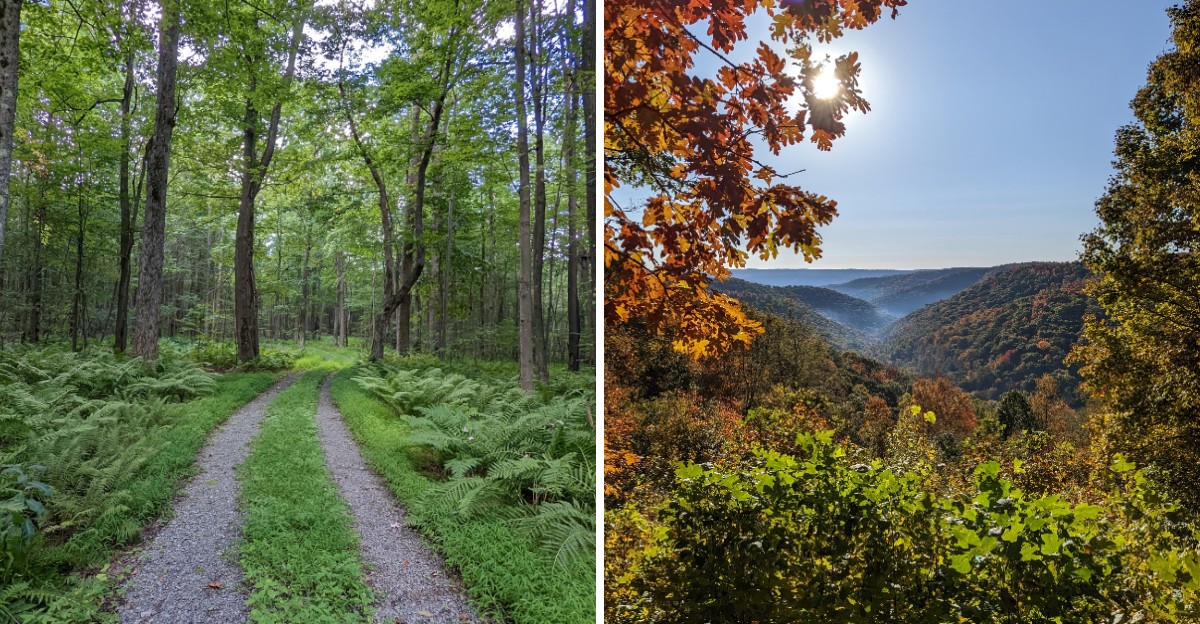
Rocky vehicle trails cut through thick forest here, including a designated route with stretches of rugged stone. It’s a side of Maryland recreation that looks very different from a paved park path.
The surrounding state forest also has hiking routes, mountain biking trails, and primitive campsites. Some paths climb toward ridge views, while others follow streams through stands of oak and hickory.
Not every trail allows motorized vehicles, and seasonal closures help protect shared routes.
What catches my attention is the contrast between the rugged terrain and the quieter corners nearby. You can spend time exploring the scenery on foot, watch for wildlife, or enjoy a forest picnic without needing an engine involved.
With so many distinct trails, it’s worth knowing which parts of this sprawling landscape match the kind of day you have in mind.
Winter Turns the Same Mountain Into a Snowmobile Playground
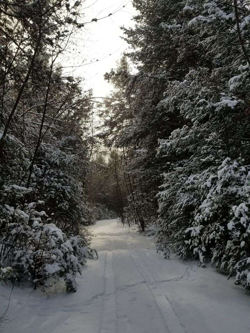
Cold weather doesn’t shut things down here. It just swaps the tires for skis.
From December 15 to March 15, snowmobiling is allowed on certain trails in Savage River State Forest. The main draw is an 8-mile section of the Meadow Mountain Trail, southwest of New Germany Road.
Western Maryland gets real winter, which is good news for anyone who owns a sled. Garrett County sits high in the Allegheny Mountains, so snow tends to stick around longer than it does near the coast.
The same DNR Off-Road Permit that covers ORVs also covers snowmobiles. One permit, two seasons of fun.
That’s a pretty sweet deal for year-round riders.
Dress in layers that block wind and keep moisture out. Ridgetop trails can get breezy, and frozen fingers ruin a good ride faster than a dead battery.
Check trail conditions before heading out, since snow depth can change quickly. The headquarters staff can share current conditions and any restrictions during weekday hours.
Bring a thermos of hot cocoa for the parking lot. Few things beat a warm drink after gliding through quiet, snow-covered hardwoods.
Bring Your Toughest Ride Because These Trails Do Not Play Nice
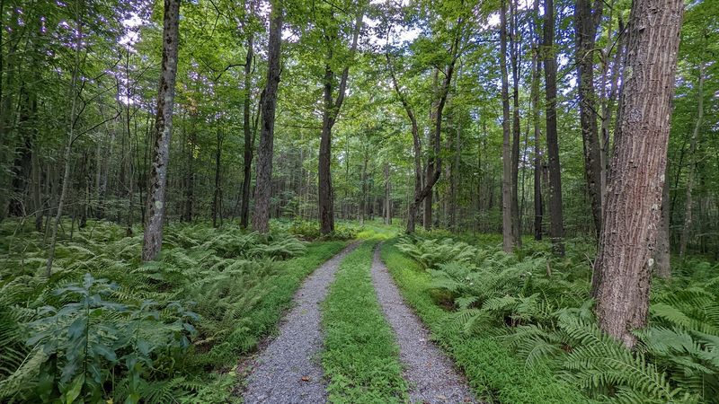
Mud, rocks, and creek water make up the welcome committee at Savage River State Forest. The forest offers more than 60 miles of terrain for off-roading, and none of it is smooth pavement.
Riders face narrow paths, water crossings, and steep hills that test both machine and nerve. It’s the kind of ground that rewards patience more than speed.
A popular starting point is a 4-mile stretch of the Meadow Mountain Trail near I-68. Folks also know this section as East Shale Road, so don’t get confused when you hear both names.
Before you fire up the engine, you’ll need a Maryland Department of Natural Resources Off-Road Permit. It covers a full calendar year and works for snowmobiles too.
You can pick one up online, at a DNR Licensing Office, or at the forest headquarters. Grabbing it ahead of time saves you from a sad drive back to town.
Pack extra water, a basic repair kit, and a printed map. Cell service fades fast out here, so your phone may turn into a fancy paperweight.
Ride with a buddy whenever you can. Rough trails are more fun when someone else can help pull you out of the muck.
You Could Drop a Small City Inside This Forest
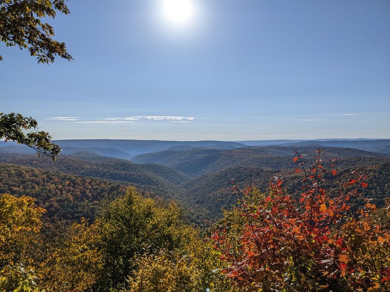
Here’s a number to chew on: more than 54,000 acres. Some sources even put Savage River State Forest at around 55,000 acres, making it the largest state forest in Maryland.
That much land gives you serious breathing room. You can drive for a while and still be surrounded by trees.
Most of the woods are second-growth mixed hardwoods. Think oak, sugar maple, red maple, black cherry, hickory, and ash all sharing the same hillsides.
In fall, that mix turns the mountains into a patchwork of red, orange, and gold. Leaf peepers have plenty to look at without needing a fancy overlook.
Roughly 11,000 to 12,000 acres are set aside as State Wildlands. These areas protect unique natural resources and keep parts of the forest as untouched as possible.
The size also means you need a plan. Pick one or two areas per trip instead of trying to see everything at once.
Download or print a forest map before you arrive. GPS can get shaky in these hollows, and a paper map never runs out of battery.
Raindrops Here Get to Choose Between Two Oceans
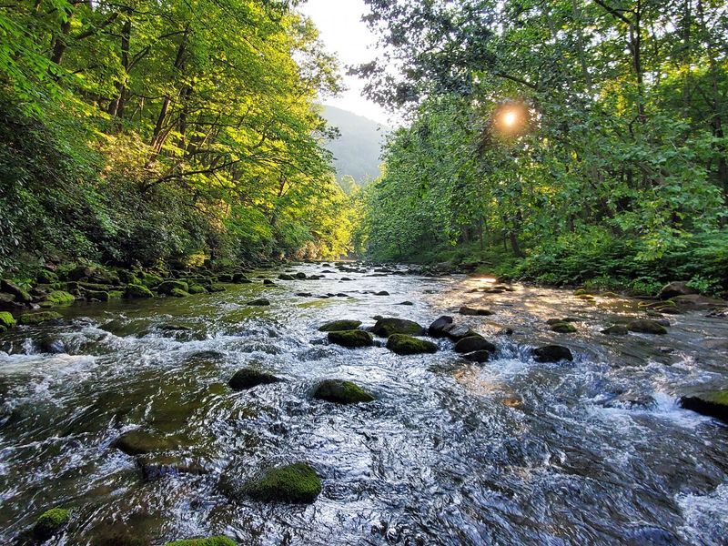
Geography nerds, this one’s for you. Savage River State Forest is the only public land in Maryland where waterways drain to both the Chesapeake Bay and the Gulf of Mexico.
Water on one side heads to the Potomac River and eventually the bay. Water on the other side travels through the Casselman and Youghiogheny Rivers toward the Mississippi.
So a single rainstorm can send drops on two very different journeys. One batch ends up near Baltimore, and another could float past New Orleans someday.
The Casselman River flows north through the forest, which feels a little backward for this part of the country. It’s also stocked with rainbow and brown trout.
Kids usually love this fact once they understand it. Stand near a stream and ask them which ocean they think the water is heading toward.
It turns a simple walk into a mini science lesson. No textbook required, just a little curiosity and maybe a muddy shoe or two.
Bring a small notebook for young explorers. Sketching streams and trees makes the divide feel real and memorable.
Cast a Line or Paddle Out on a Mountain Reservoir
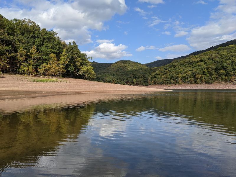
Back in 1952, the U.S. Army Corps of Engineers built a dam and created the Savage River Reservoir.
Today that 230-acre lake is one of the best water spots in the forest.
Anglers can try for catfish, trout, and bass. Two boat launches make it easy to get a kayak, canoe, or small boat onto the water.
Paddling here feels calm and quiet, with steep wooded slopes rising around the shoreline. It’s a nice change of pace after bumping along rough trails.
Below the dam, things get much livelier. Controlled releases create premier whitewater opportunities on the Savage River, drawing experienced paddlers ready for a wild ride.
Not quite ready for rapids? Guided canoe trips are offered during the summer months, which is a great way to learn the water with help.
Remember to bring a valid Maryland fishing license if you plan to fish. Rules can vary by species and season, so check before you go.
Pack sunscreen and a dry bag for snacks and keys. Wet sandwiches are nobody’s idea of fun.
Sleep Beside a Creek With Nothing but Stars Overhead
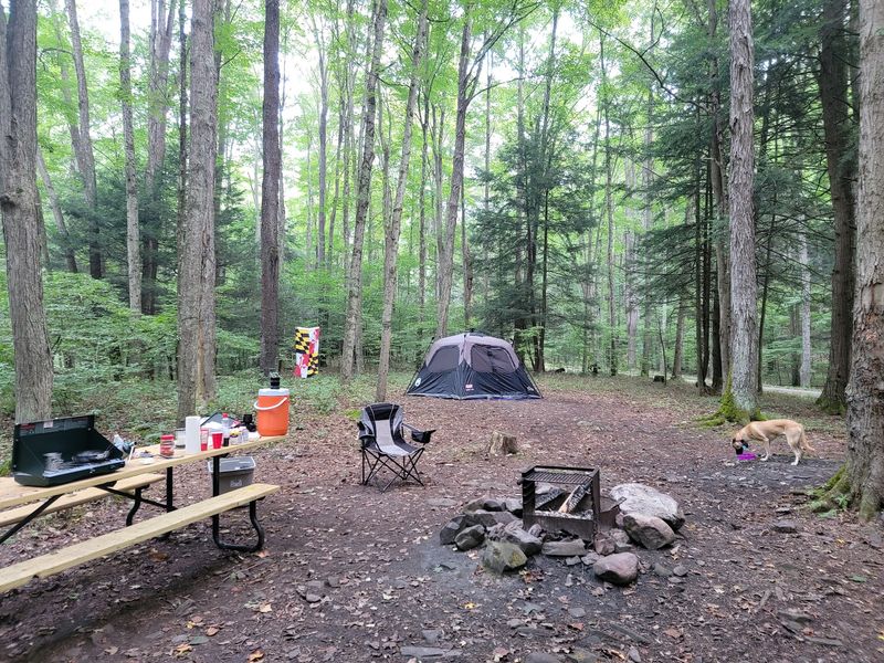
Forget room service. Camping in Savage River State Forest is wonderfully basic, and that’s the whole point.
The forest has 81 primitive campsites spread across ten areas, open all year. Many sit right along streams or the Savage River itself.
Each site usually comes with a picnic table and a fire ring. There are no electric, water, or sewer hookups, so pack in everything you need.
Most sites work on a first-come, first-serve basis. You simply fill out a self-registration form at a kiosk and settle up there.
Bigger group sites are different and need advance reservations through the forest headquarters. Plan early if you’re bringing the whole crew.
Black bears live in these woods, so store food properly and keep a clean camp. A messy site is basically a dinner invitation for curious wildlife.
Pets are welcome throughout the forest but must stay on a leash. That keeps your pup safe and the local critters calm.
Bring plenty of drinking water and a good lantern. The nights get really dark out here, which makes stargazing pretty spectacular.
Lace Up for Trails That Range From Breezy to Brutal
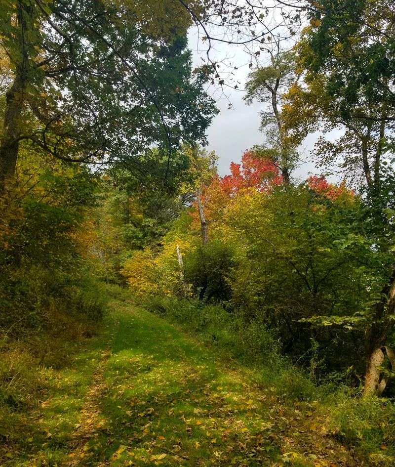
Hikers get just as much attention as riders in this forest. The trail network stretches across mountains, valleys, and stream corridors with options from easy to difficult.
Big names include the Meadow Mountain Trail, Monroe Run Trail, Big Savage Trail, and Poplar Lick Trail. The Mt.
Aetna Tract also has its own set of paths worth exploring.
Big Savage Trail follows the high ridge, so expect climbs and some wind. Monroe Run follows water, which makes it feel cooler on warm days.
Planning an overnight trek? Backpack camping requires a permit, which you can get at headquarters or from an outdoor kiosk.
Mountain bikers have plenty to do too. Loop trails offer different challenges, and Class 1 e-bikes are allowed on designated mountain biking trails.
Along some routes, you might spot crumbling bridge abutments. Those are leftovers from old Civilian Conservation Corps roadways built decades ago.
Wear sturdy boots, since roots and rocks show up often. Trekking poles help a lot on steep downhill sections.
Start early on longer hikes. Daylight disappears quicker under thick tree cover than you might expect.
Keep Your Eyes Peeled Because Somebody Is Always Watching
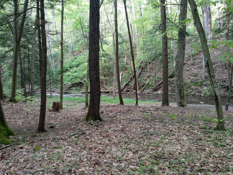
Black bears, bobcats, white-tailed deer, and raccoons all call this forest home. You’re the visitor here, so act like a polite guest.
Bird lovers get a real treat. More than one hundred bird species live in or pass through the forest, including hawks, owls, and plenty of songbirds.
Thick rhododendron patches and mixed hardwoods give animals great places to hide and feed. That variety is a big reason wildlife does so well here.
Early morning and evening are usually the best times to spot animals. Move slowly, talk softly, and let the forest come to you.
A pair of binoculars makes a huge difference. A bird field guide or app also helps you put names to all those chirps.
Keep a safe distance from any bear you see. Never feed wildlife, even if a raccoon gives you those sad little eyes.
Hunting is popular in the forest during certain seasons. Wear bright orange during hunting season if you’re hiking, just to stay visible.
A public shooting range is also open year-round from sunrise to sunset. Call ahead, since occasional closures happen.
Plan Smart Before You Head Into the Hills
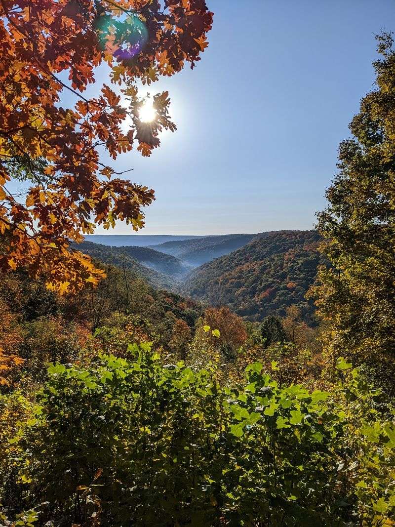
Savage River State Forest was established in 1929. During the 1930s, the Civilian Conservation Corps helped plant trees, fight fires, and build trails and recreation areas.
That hard work still shapes your visit today. Many paths and features trace back to those early crews.
The forest is listed at 1276 Dry Run Rd, Swanton, MD 21561. The main headquarters sits on Headquarters Lane in nearby Grantsville.
Headquarters is open Monday through Friday, generally from 7 a.m. to 3:30 p.m. It’s closed on weekends, so stop by early if you need permits or maps.
Some areas may have temporary closures. Big Run Road is closed through December 31, 2026, for a bridge replacement project.
The forest also surrounds parts of New Germany State Park and Big Run State Park. Those parks add extra camping and cabin options to the mix.
Cell service is spotty across much of this part of Maryland. Download maps and directions before leaving town.
Fill your gas tank and cooler before heading in. With the right prep, this massive forest feels less like a maze and more like a giant backyard.
