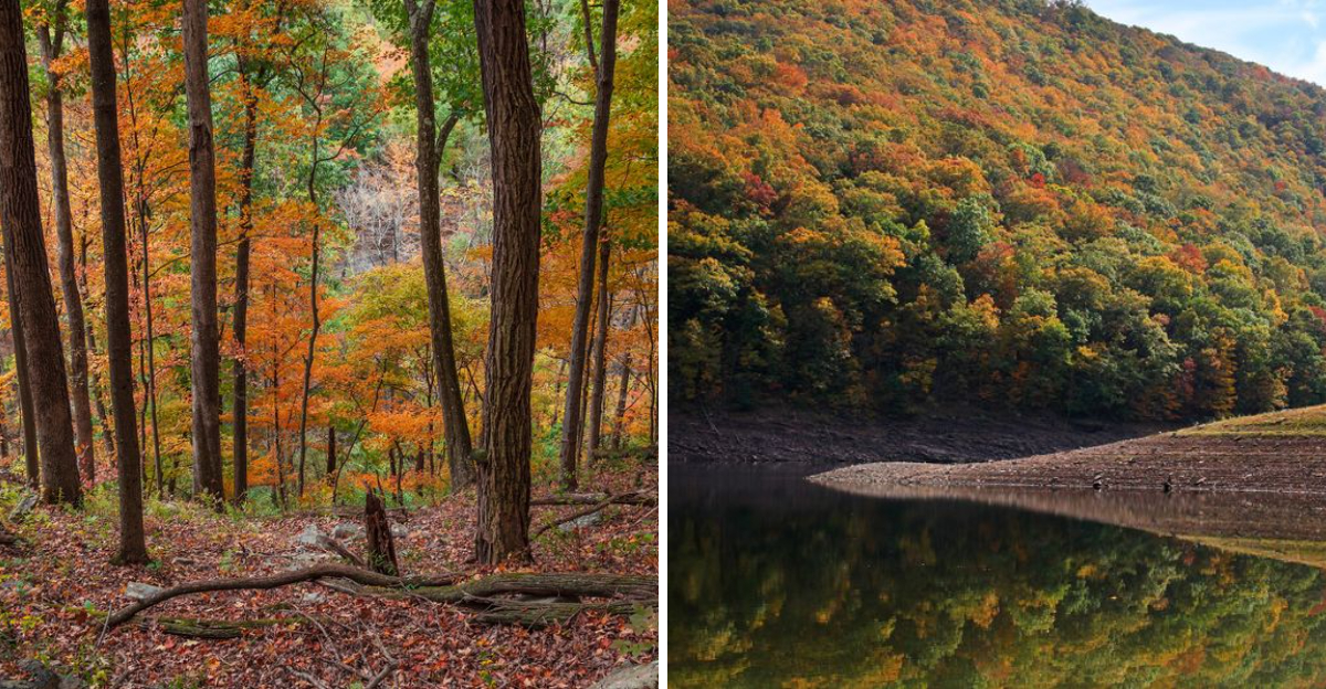
Maryland hiking gets considerably more interesting when the destination at the end is a quiet reservoir surrounded by thousands of acres of forest.
One rugged 17-mile trail travels along a mountain ridge before ending near the water, passing through oak and hickory forest, old pine farmsteads, rocky terrain, wild azalea, and rhododendron along the way.
A shorter moderate route also finishes near the reservoir after multiple stream crossings, giving hikers another way to work some waterside scenery into the day.
This is not the Maryland outing for somebody expecting a paved stroll and a snack kiosk every half mile, but that remoteness is a big part of the appeal.
When the goal is woods, water, and considerably fewer people, the scenery does not need much help.
Monroe Run Trail: The Classic Walk Down to the Water
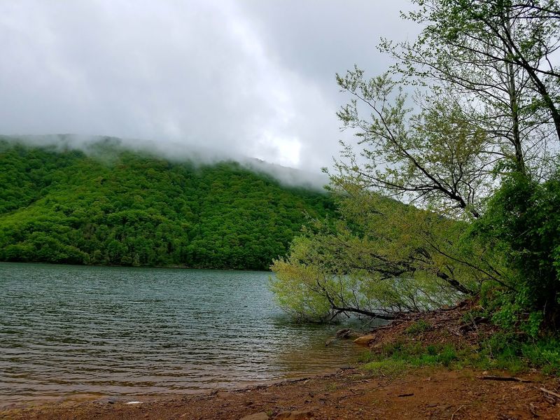
Of all the routes in the forest, Monroe Run is the one that actually delivers hikers to the lake. The 4.6-mile, one-way trail is rated moderate, open to foot traffic only, and ends near the Savage River Reservoir inside Big Run State Park.
Smart hikers start at the trailhead on New Germany Road. Going that direction means walking downhill toward the water rather than grinding up a long climb at the very end of the day, when legs are already tired.
The path follows a narrow mountain hollow, and stream crossings come up repeatedly along the way. After rain or spring snowmelt, those crossings run higher and faster, so waterproof boots and trekking poles earn their keep.
Footing deserves attention. Rocks turn slick under a coat of moss or wet leaves, roots surface without warning, and long stretches are uneven enough that watching each step becomes part of the rhythm.
Since the trail is one-way, plan the logistics ahead of time. Either arrange a shuttle vehicle at Big Run State Park or accept that the return leg turns the outing into a full nine-plus mile day.
Carry more water than seems necessary and pack a real lunch. Cell service is unreliable in the hollow, so leaving a trip plan with someone at home is a habit worth keeping on this stretch of Maryland backcountry.
A Highland Lake Born From a 1952 Dam Project
Before there was a lake here, the Savage River simply cut its way through a deep mountain canyon. That changed in 1952, when the U.S.
Army Corps of Engineers completed the Savage River Dam and created a 360-acre storage reservoir.
Today the Upper Potomac River Commission maintains it, and the lake still does two serious jobs: controlling floods downstream and supplying municipal drinking water. Recreation is a bonus, not the main purpose, which explains a few of the rules visitors encounter.
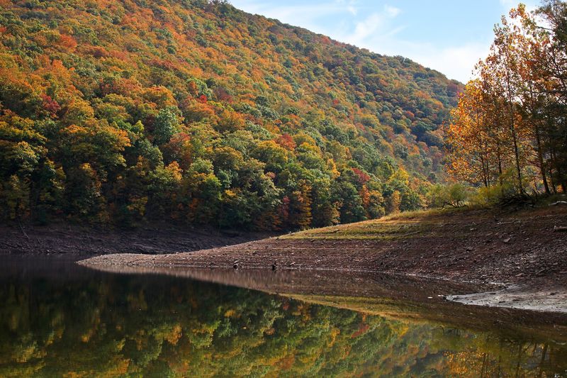
The surface sits at 1,463 feet above sea level, and the forested ridges around it climb toward 2,800 feet. That elevation puts the reservoir squarely in the Allegheny Mountains and earns it the label of a true highland lake.
Water clarity is one of the first things people notice. The reservoir is an oligotrophic impoundment, meaning it carries few nutrients and little algae, so the water often looks glassy and cold even in midsummer.
Shorelines drop off steeply and are studded with natural rock ledges and fallen timber instead of boat docks, retaining walls, or vacation homes. There is no shoreline development at all, a rarity for a lake this size on the East Coast.
Because water levels rise and fall with drinking water demand and flood management, the shoreline shifts through the seasons. Hikers who arrive in late summer may find wider gravel banks than spring visitors do, which changes the view but never the sense of remoteness.
Pine Plantations That Give the Forest Its Scent
Walk into one of the conifer stands here and the temperature seems to drop a few degrees. Roughly 4,000 acres of Savage River State Forest were planted with evergreens back in the 1940s, and those trees are now tall, straight, and impressively dense.
Red pine makes up the bulk of the plantings, joined by white pine, Norway spruce, larch, and Scotch pine. Many of these blocks were planted on land that used to be farm fields, which is why the rows sometimes look oddly orderly.
Underfoot, the ground turns soft and quiet. A thick mat of fallen needles muffles footsteps, blocks most undergrowth, and gives the forest floor an open, cathedral-like feel that hardwood sections never quite match.
Sections of the Backpacker Loop pass directly through old farmsteads converted to pine, and the Poplar Lick Trail rolls past stands of pine and spruce as well. Both are good bets for anyone chasing that evergreen atmosphere.
Photographers should aim for early morning. Low sunlight slicing between the trunks creates long beams through the haze, especially on cool mornings when mist lingers in the hollows.
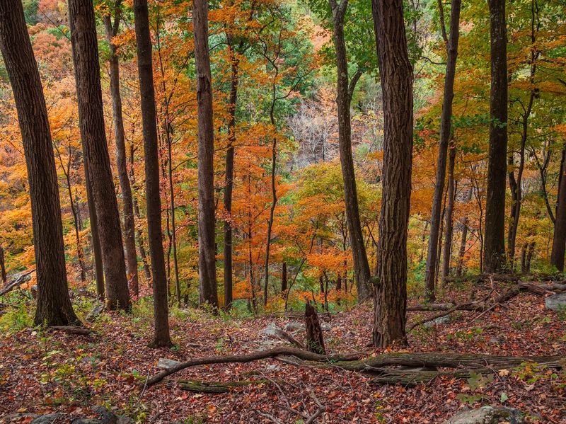
Mixed among the conifers are second-growth hardwoods, including oak, hickory, sugar maple, red maple, black cherry, and ash. The contrast between dark evergreen blocks and bright autumn hardwoods is what makes October drives and hikes through this forest so memorable.
Ridge Walking on Meadow Mountain Trail
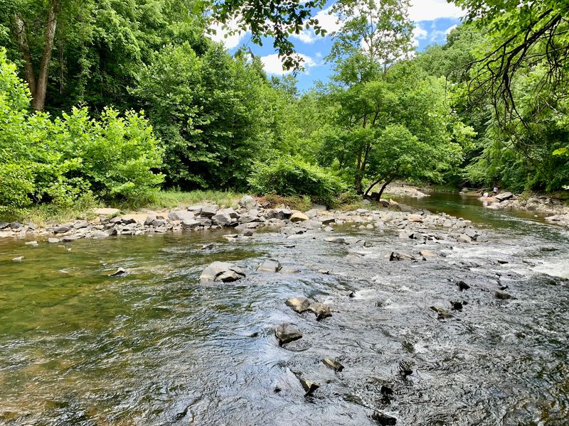
For big views rather than lakeside close-ups, Meadow Mountain Trail is the pick. Running roughly 12 miles along the spine of Meadow Mountain, it is rated moderate and rewards walkers with an excellent lookout at the Meadow Mountain Overlook.
Not everyone has a full day to spare, and the trail accounts for that. A shorter 1.6-mile section rated easy makes a fine outing for families, casual walkers, or anyone squeezing in a hike before sunset.
Ridge trails behave differently from valley trails. Wind picks up along the top, temperatures run cooler, and weather can shift faster than it does down in the sheltered hollows near the reservoir.
An extra layer in the pack solves most of that. Even on warm summer afternoons, a breeze along the ridge can make a rest stop feel chilly once sweat starts to cool.
Fall turns this route into something special. From the overlook, waves of oak, maple, and hickory spread across the Allegheny ridgelines in reds and golds, with dark green conifer blocks scattered through the mix.
Combining Meadow Mountain with a lakeside stop makes for a well-rounded day. Take in the high panorama first, then drop down toward the reservoir for a quieter, water-level perspective on the same landscape.
Trailhead parking areas are modest, so arriving early on holiday weekends helps avoid crowding.
Poplar Lick and the Backpacker Loop for Longer Adventures
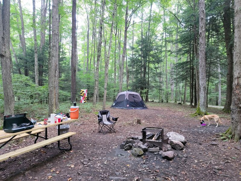
Some visitors want more than an afternoon stroll, and the forest has answers for them. The Backpacker Loop stretches 24 moderate miles through upland oak and hickory woods, old farmsteads turned into pine plantations, and rocky stretches decorated with wild azalea and rhododendron.
Overnight trips require planning. Designated primitive campsites are scattered along trails throughout the forest, and a permit from forest headquarters is required before setting up camp.
Poplar Lick Trail offers a friendlier commitment at 6 moderate miles. The route rolls through gentle forestland, passing stands of pine and spruce plus stream valleys rimmed with thick rhododendron.
Late spring and early summer bring the blooms. Rhododendron and wild azalea light up shaded creek bottoms with white, pink, and pale purple flowers, turning ordinary trail corners into photo stops.
Multiple stream crossings show up on these longer routes as well. Dry socks stashed in a waterproof bag are one of the simplest comforts a backpacker can carry out here.
Total trail mileage across Savage River State Forest tops 78 miles, spanning easy paths to genuinely difficult ones. That range means the same forest can serve a first-time hiker and a seasoned long-distance walker on the same weekend.
Check with headquarters about current trail conditions before committing to a multi-day route, since storms can leave blowdowns and high water behind.
Eagles, Herons, and Black Bears Along the Shoreline
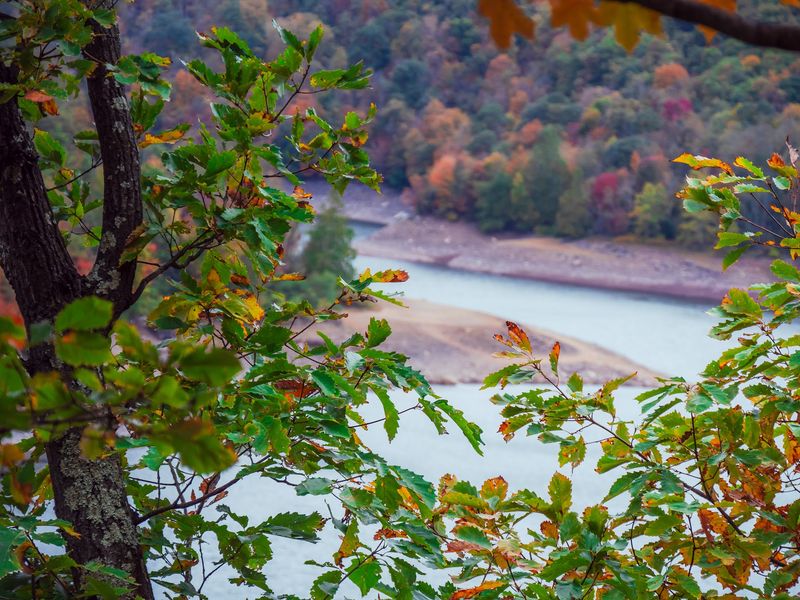
Patience pays off around this lake. A resident pair of bald eagles and their offspring are regularly spotted by paddlers, often perched high in shoreline snags scanning the water below.
Great blue herons stalk the shallows on stilt legs, kingfishers rattle across coves, and ducks and grouse turn up throughout the forest. Binoculars belong in the daypack.
Spring migration brings a burst of activity. Warblers move through the canopy in bright flashes of yellow and black, and the American woodcock performs its odd spiraling display flights at dusk in open areas.
Mammals are around too, though they are far less obliging. Mink slip along the rocky banks, white-tailed deer browse the forest edges, and black bears roam the broader 54,000-acre state forest.
Bear awareness matters here. Food should be stored properly at campsites, trash packed out, and encounters handled by backing away calmly rather than approaching for a photograph.
Venomous snakes also live in this landscape, so watch where hands and feet land near sunny rock piles and log crossings. Giving any snake plenty of room resolves nearly every situation.
Early morning and the last hour before sunset are the most productive times for wildlife watching. Moving slowly and pausing often reveals far more than covering miles quickly ever will along these shorelines and ridges.
Paddling a Motor-Free Mountain Lake
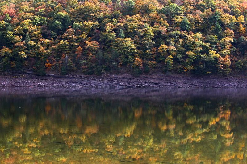
Silence is the main attraction on the water here. Savage River Reservoir is a motor-free paddling destination, open only to kayaks, canoes, small paddle boats, and electric-powered vessels.
Gasoline motors must be removed from boats before launching, no exceptions. The result is a lake where the loudest sounds are paddle drips, wind in the pines, and the occasional eagle call.
Three access points serve the reservoir: Big Run State Park at the northern end, Dry Run on the western shore, and a launch near the Savage River Dam at the southern end. Each offers a different angle on the canyon walls.
Fluctuating water levels can leave a gap between the parking area and the waterline. Carrying a boat some distance over gravel or mud is a real possibility, so lightweight craft and boat carts help.
Wind deserves respect in a canyon setting. Checking the forecast before loading up prevents an easy morning paddle from becoming a hard afternoon slog back into a headwind.
Guided canoe trips run during summer months through forest interpreters or private nature tourism vendors, which is a comfortable option for beginners.
One firm rule to remember: swimming is strictly prohibited in the reservoir because it supplies drinking water. Plan to enjoy the lake from a boat or the shoreline rather than in it.
Fishing the Reservoir and the Trophy Water Below the Dam
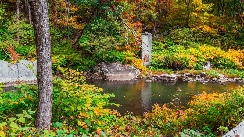
Anglers have plenty of reasons to make the drive. Fishing is permitted year-round with a Maryland non-tidal license, and the reservoir holds a surprising mix of species.
Catfish, rainbow and brook trout, largemouth and smallmouth bass, walleye, crappie, yellow perch, and bluegill all swim these waters. Steep banks lined with natural rock and submerged wood create the kind of structure fish gravitate toward.
Each spring the lake receives a stocking of rainbow trout, supporting a put-and-take fishery. A trout stamp is required to possess trout, so check licensing before the first cast.
Below the dam, the story changes. The tailwater section is recognized as a trophy area, drawing fly anglers who appreciate cold, consistent flows and wary fish.
Winter brings ice fishing opportunities, but extreme caution is essential. Lake levels can fluctuate under the ice, which weakens the surface in ways that are impossible to judge from shore.
Shore access takes effort given the steep terrain, so many anglers fish from a canoe or kayak instead. That approach opens up coves and rocky points that foot traffic simply cannot reach.
Regulations can change from season to season, so confirming current rules with the Maryland Department of Natural Resources before a trip keeps everything straightforward and legal.
Camping, Winter Trails, and Trip Planning Essentials
Staying overnight turns a good day into a better weekend. Big Run State Park at the northern end of the reservoir offers primitive camping with 30 unimproved sites plus a youth group camping area.
Backpackers have another option. Designated primitive campsites sit along various trails across the state forest, and a permit from forest headquarters is required before pitching a tent at them.
Mountain bikers get designated trails to ride, and several gravel roads work well for riders who prefer less technical terrain. Those same roads make useful connectors for planning longer loops.
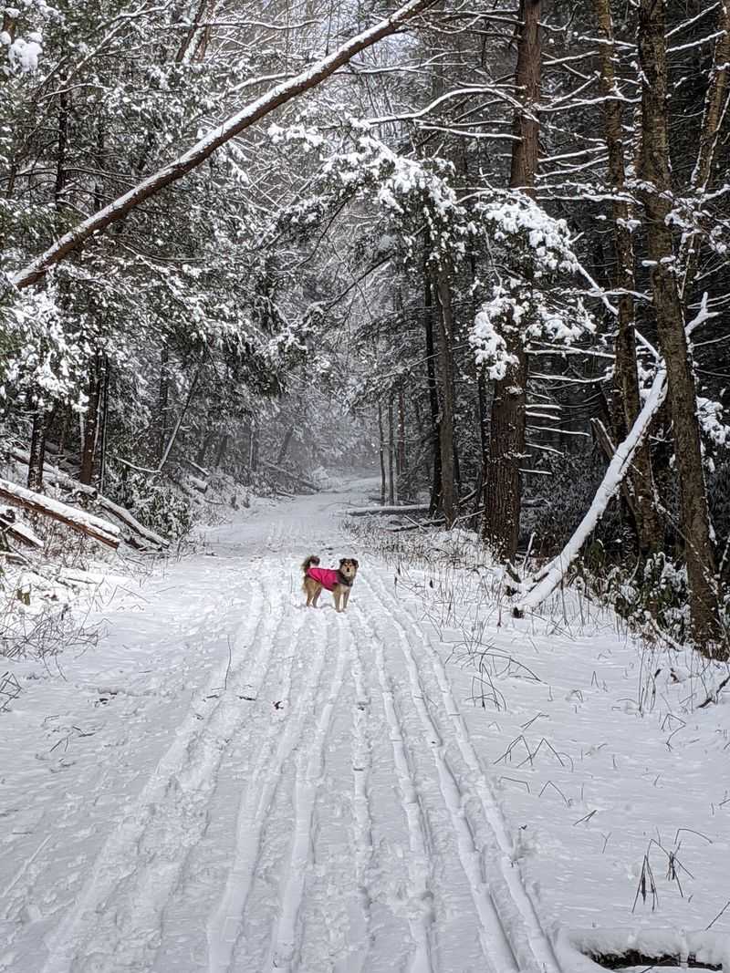
Winter changes everything. Heavy snowfall in this corner of Maryland supports cross-country skiing, snowshoeing, and snowmobiling on certain trails, and the pine plantations look especially striking under fresh powder.
Savage River State Forest is open daily from sunrise to sunset. Contacting forest headquarters ahead of a visit is the fastest way to learn about trail conditions, closures, and any current restrictions.
During hunting seasons, trail users should wear blaze orange for visibility. Sturdy footwear, plenty of water, a paper map, and rain gear round out a sensible packing list for these rugged trails.
Fuel up and grab supplies before heading in, since services are limited once the road enters the forest.
Address: 127 Headquarters Lane, Grantsville, MD 21536
