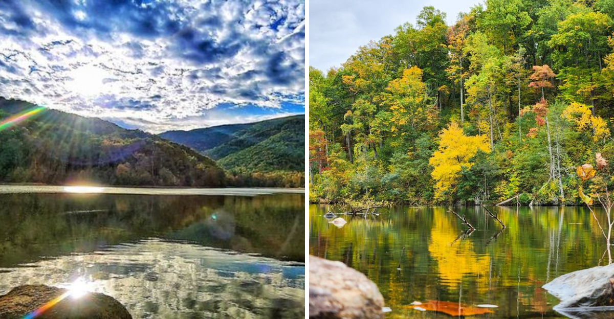
The water is calm, the mountains rise on all sides, and the views are the kind that stay with you. This scenic reservoir in Virginia is surrounded by the kind of mountain views you remember, a place that feels like it belongs on a postcard.
I visited on a clear day and spent time just sitting by the shore, taking in the landscape. The reservoir is part of a larger watershed, and the surrounding area is protected, which keeps it peaceful and pristine.
The trail around the water offers a gentle walk, and the fishing is known to be good. The reservoir is a favorite among locals who appreciate the quiet beauty.
Virginia has plenty of reservoirs, but this one offers views that linger. Go when you need to recharge.
Where Two Forks of the Moormans River Come Together
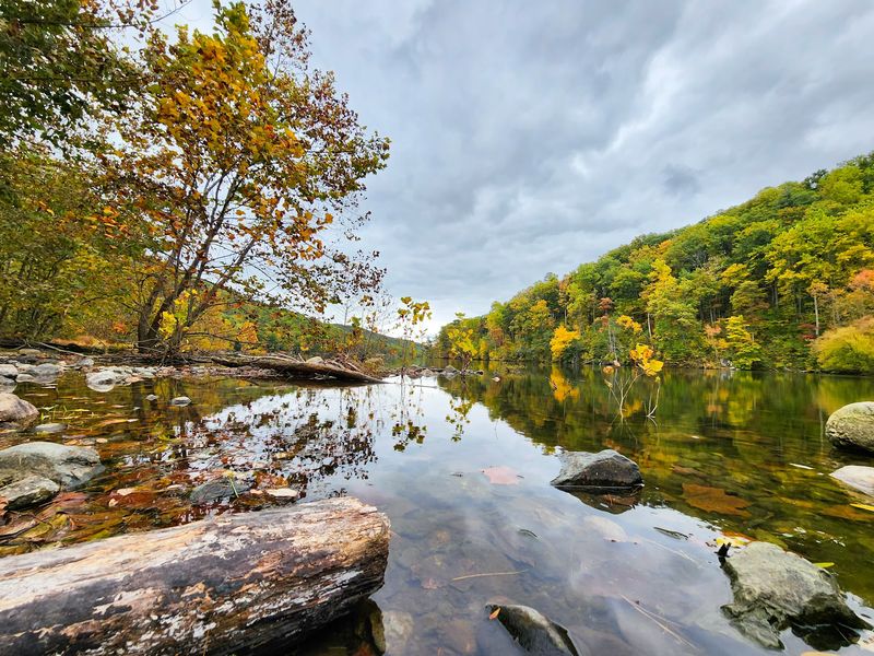
Two ridges lean in close here, and the water between them barely ripples. The North and South Forks of the Moormans River both feed this reservoir, arriving cold and fast before settling into glassy stillness.
Pasture Fence Mountain stands guard to the north. Bucks Elbow Mountain holds the southern side.
Together they build a natural amphitheater that makes the whole basin feel like a secret room in the Blue Ridge.
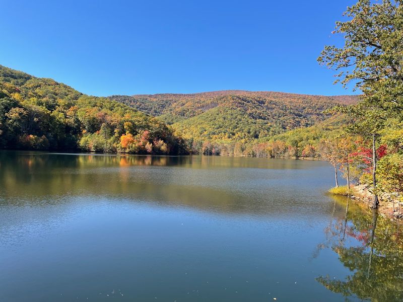
My first look stopped me flat. Emerald slopes doubled themselves in the reflection, and the only sound came from water sliding somewhere out of sight.
Geography does something clever in this pocket of Virginia. The tall Blue Ridge peaks soften into the rolling foothills of Albemarle County, so you get grandeur and gentleness in a single panorama.
Roughly forty-seven acres of water sit here, which sounds modest until you realize how much sky and stone it manages to hold.
Charlottesville drinks from this reservoir, and that practical purpose shapes everything. Protection rules keep the shoreline wild, the water clean, and the views blessedly free of clutter.
Come for scenery, stay because the quiet is genuinely rare.
That Skinny Gravel Road Is Half the Fun
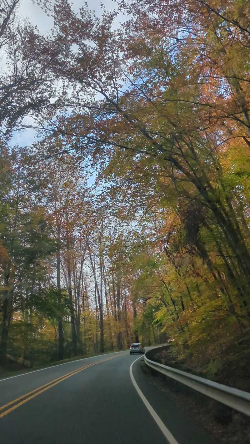
Getting here counts as part of the trip, and I mean that as a compliment. Sugar Hollow Road narrows as it climbs, crossing the creek on one-lane bridges that force you to slow down and actually look around.
Horse pastures roll past. Wooden fences lean at charming angles.
Vineyard rows stripe a hillside or two before the forest closes in.
Motorcyclists adore these curves, and honestly, so did my steering wheel. Every bend teases another slice of the ridge line.
Pavement gives way to gravel near the finish, and a small lot waits at the dam. Push a bit farther along the dirt road and you find additional parking plus trail access.
Weekend mornings fill those spaces quickly. Roadside parking exists but demands care, so arriving early or drifting in during mid afternoon saves the headache.
Cell service thins out here, which I consider a feature rather than a flaw. Download your map before the last turn.
Anticipation builds the whole way, and this corner of Virginia rewards patience with one seriously satisfying reveal at the end of the road.
The Blue Hole Hike Deserves Wet Shoes
Legend status belongs to the Blue Hole, and reaching it requires a little commitment. A silver gate on the east side of the parking area marks the start of an out and back walk of roughly three miles.
No fancy sign announces the destination. Finding it feels like solving a puzzle the forest set up for you.
Expect to cross the South Fork Moormans River along the way. Stepping stones sometimes cooperate, though I gave up dry feet early and never regretted it.
The path runs wide and mostly friendly, threading through hardwoods and rhododendron with the river chattering alongside. Beginners handle it fine.
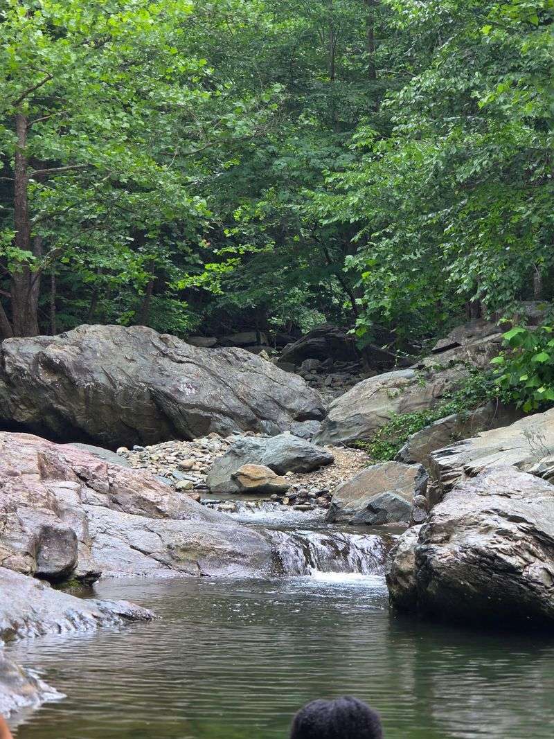
Payoff arrives as a broad, deep pool fed by a small cascade that pours in over dark rock. Water temperature hovers somewhere between refreshing and shocking, depending on the season.
Boulders around the edge make natural benches for drying off and doing absolutely nothing productive.
Note the difference clearly. Swimming happens upstream in the river, never in the reservoir itself, since Sugar Hollow Reservoir, Crozet supplies drinking water.
Respect the signs and this Virginia treasure stays open.
Big Branch Falls Rewards the Northern Trail
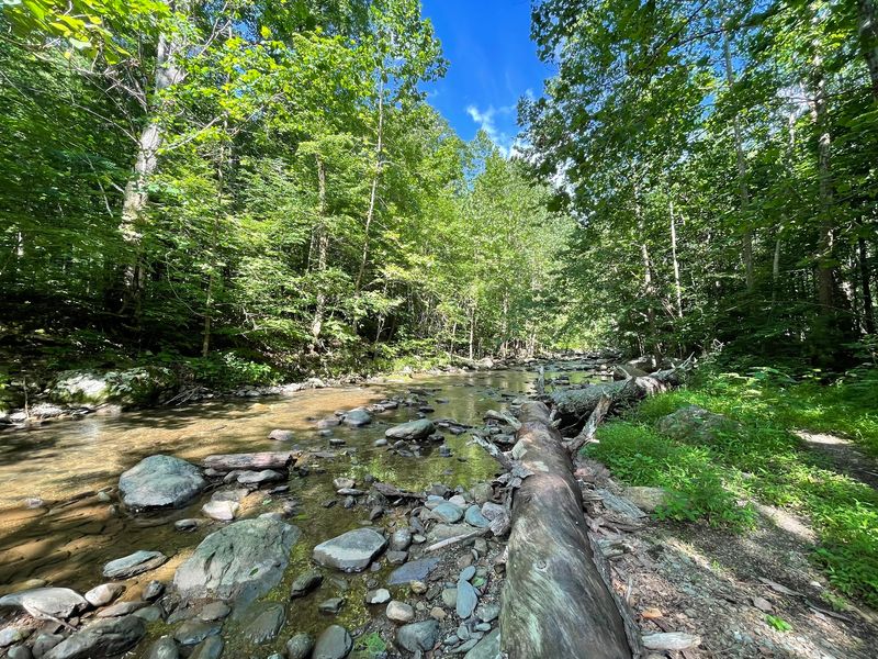
Waterfall chasers, turn west. A red gate on that side of the parking lot opens onto the North Fork Moormans River Trail, an out and back route of about four and a half miles that ends at Big Branch Falls.
The trail hugs the water almost the whole way, so the soundtrack never stops.
Several stream crossings break up the climb, each one an easy hop or a cheerful splash depending on recent rain. I picked the splash.
Shade blankets this route generously, which turns July hiking from punishment into pleasure. Ferns crowd the edges and the canopy filters everything into soft green light.
Storm damage from years past reshaped parts of the streambed, leaving tumbled boulders and washed rock that give the valley a rugged, unpolished character.
Big Branch Falls itself spills down a rocky face into a pool ringed by slabs perfect for sitting. Bring a snack and stay a while.
Sturdy footwear helps enormously, and trekking poles earn their keep on slick stones. Few Virginia hikes pack this much variety into a half day outing.
Trout Fishing From the Bank Only
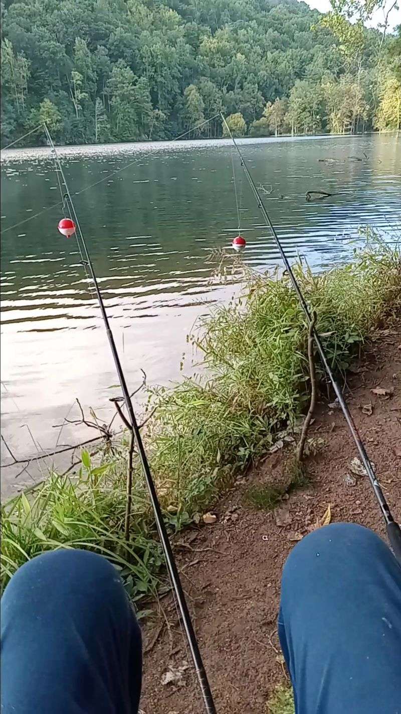
Anglers, this one is for you. The forty-seven acre reservoir gets stocked with rainbow and brook trout under a put and take program, and bass and panfish round out the possibilities.
Bank fishing is the only game in town. No boats, no wading, no swimming, all in service of keeping the water supply pristine.
Sunrise through sunset covers the legal hours, and those bookends happen to deliver the prettiest light of the day. Mist lifting off the surface at dawn is worth setting an alarm for.
A valid Virginia fishing license belongs in your pack, and a trout license applies during stocking season. Check current regulations before you go, since seasons shift.
Below the dam, the Moormans River Trout Management Area operates under stricter rules, with artificial flies and catch and release, plus permit requirements worth confirming in advance.
Casting here feels unhurried. Mountains loom, the water barely moves, and nobody is racing a motor past your line.
Patience pays off at Sugar Hollow Reservoir, Crozet, and even a slow afternoon comes with a five star view.
Fire Roads Climbing Toward Shenandoah National Park
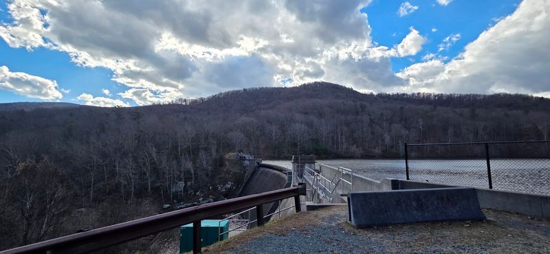
Ambition has room to stretch out here. Beyond the dam, old fire roads grind steadily uphill and connect toward Skyline Drive, with links onward to the Appalachian Trail.
Shenandoah National Park begins just past the upper reaches, so a modest day hike can turn into something considerably grander if your legs agree.
Serious walkers piece together a long loop of roughly eighteen miles, threading deep forest, hopping countless creeks, and passing stone remnants along the way.
Those relics tell a real story. Families once farmed these hollows before the park was created, and old homesteads still sit quietly among the trees.
The Blue Ridge Heritage Project documents that displacement, and knowing the history changes how the woods feel underfoot.
Picnic tables and grills are absent by design, which keeps the area feeling untamed rather than manicured. Pack your food in and pack every scrap out.
Birdlife thrives across these slopes, from woodpeckers hammering deadwood to warblers flickering through the understory.
Wilderness this accessible is a genuine luxury in central Virginia, and it starts at a gravel lot.
Seasons Rewrite the Whole Scene
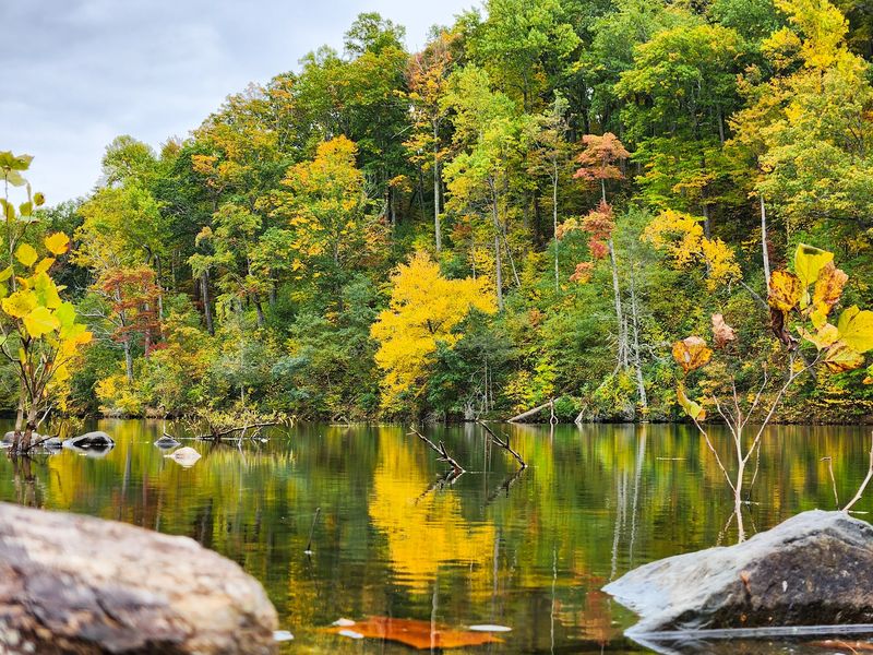
Four visits, four completely different places. Spring floods the hollow with dogwood blossoms and loud, snowmelt-fed creeks that make every crossing a small adventure.
Summer turns the canopy into a cool tunnel, and the swimming holes upstream become the whole reason to get out of bed.
Autumn is the showstopper. Maples and hickories torch the ridges in red and gold, and the reservoir hands the color back as a mirror image.
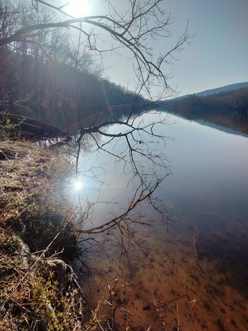
Winter strips it all away. Bare branches open sightlines you never knew existed, ice fringes the shallows, and the silence gets so complete you hear your own boots.
Weather shifts fast at elevation, so layers beat optimism. Rain gear folds down small and saves entire afternoons.
Crowds follow the calendar, peaking on warm weekends and fall foliage Saturdays. Weekday mornings deliver the emptiness I keep chasing.
Snakes sun themselves on rocks in warmer months, so watch where you plant your hands.
Whatever month lands on your ticket, this stretch of Virginia has a version of itself ready to impress you.
A Photographer’s Dream With Almost No Effort
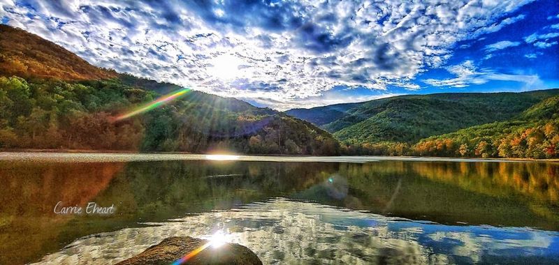
Point a camera in any direction and something works. Still water doubles the ridges, the sky, and every passing cloud into a second image below the surface.
Dawn is my favorite window. Mist drapes the basin, the ridges layer into soft blue silhouettes, and the light goes syrupy gold for maybe twenty minutes.
Late afternoon flips the mood, throwing long shadows down the slopes and lighting the far shore like a stage set.
The dam itself photographs surprisingly well, all clean concrete lines against tangled forest. Structure meets wilderness in one frame.
Along the trails, moving water gives you something entirely different. Small cascades, slick boulders, and rhododendron tunnels reward anyone willing to crouch in the creek.
Practical tip from experience. A polarizing filter tames glare off the reservoir and deepens those green reflections beautifully.
Drones are not appropriate over a protected water supply, so keep your feet on the ground and your lens pointed thoughtfully.
Honestly, phone cameras do fine here too. Sugar Hollow Reservoir, Crozet makes everyone look talented.
Crozet Makes the Perfect Landing Spot Afterward
Muddy boots deserve a reward, and Crozet delivers one a short drive downhill. The town keeps a relaxed, neighborly rhythm with the Blue Ridge always visible over the rooftops.
Crozet Artisan Depot sits inside the old train depot, showcasing work by local makers. Browsing there is a lovely way to slow the day down.
Crozet Pizza carries a legendary reputation in this part of Virginia, and it has fed hungry hikers for generations.
Vineyards dot the surrounding hills, including King Family Vineyards and Stinson Vineyards, both known for gorgeous mountain outlooks and grassy grounds where the view does the heavy lifting.
Want more outdoors before heading home? Mint Springs Valley Park and Beaver Creek Park offer easy trails and open water without any driving drama.
Charlottesville sits roughly half an hour east, which makes this whole area an easy add-on to a longer itinerary.
Small town, big backdrop, zero pretense. Crozet handles the comfortable half of the trip while Sugar Hollow Reservoir, Crozet takes care of the wild half.
Pack Smart and Go Before Everyone Else Does
Final briefing before you go. Shoes that tolerate water are the single best decision you can make, because both main trails cross the river more than once.
Carry your own water, a paper or downloaded map, and snacks. No facilities, no shops, no vending machines out here.
Parking is genuinely limited. Early mornings and mid afternoons open up spaces that vanish by late morning on warm weekends.
Rules exist for a reason. No boats, no swimming in the reservoir, no littering, and leave no trace applies everywhere.
Following them keeps this Virginia landmark open to everybody.
Dogs on leash handle the trails happily, and the creek crossings turn into their favorite part.
Pull-offs along the approach road let you reach the creek without any hiking at all, handy for families with small kids.
The address is Sugar Hollow Road, Crozet, Virginia 22932, at the end of the road past the pastures and one-lane bridges.
Grab your boots, pick a sunrise, and let Sugar Hollow Reservoir, Crozet ruin every ordinary view for you.
