More than a thousand acres of quiet green fields in South Carolina hold one of the strangest survivors of the Revolutionary War, and I pulled off the highway expecting a small roadside marker and maybe a bench.
Under the grass here sat a busy backcountry town with taverns, shops, a courthouse, and a brick jail, all of it gone by the end of 1781.
What did not disappear was the Star Fort, an eight-pointed earthen fortress built by Loyalist soldiers and enslaved workers, still ridged and rippling across the ground like a giant footprint.
The fort was never taken, and the siege that failed here in 1781 marked one of the last major battles of the war in the South.
I walked the paved mile-long loop twice, once fast and once slow, because the second pass is when the trenches and old roadbeds start making sense. Rangers here clearly love the story, and they tell it without dressing it up.
History you can actually walk through rather than read about behind glass is worth the detour, and this place delivers exactly that.
The Star Fort That Refused to Disappear
My first look at the Star Fort was honestly a little confusing. From ground level it reads as a series of grassy humps and dips, until you follow the mowed edge around a point and the geometry snaps into place.
Loyalist engineer Lieutenant Henry Haldane designed the eight-point shape between December 1780 and early 1781, and it was built by Loyalist soldiers along with enslaved people brought from nearby plantations. Haldane chose the star form because it fit the uneven ground better than a plain square, and every angle let defenders fire muskets and cannon in any direction.
The walls once rose about 14 feet, and during the fighting sandbags added roughly three more feet on top.
What amazed me is how little the outline has softened. Historians consider it one of the best-preserved 18th-century earthworks anywhere, and the ridges you see genuinely trace what stood here in 1781.
Give yourself time to circle it slowly rather than snapping one photo and moving on. Morning light catches the angles best, and low sun makes the shape far easier to read in pictures than flat midday glare does.
Walking the perimeter, you start to feel the weight of the place, the labor and strategy embedded in every grassy rise. It is not just a shape in the ground.
It is a moment in time, still visible, still holding its ground after all these years, and that quiet persistence is what makes it worth the visit.
How a Town Got Named After a Wrong Guess
Here is the detail I kept repeating to everyone back home: the town is named after a measurement that was wrong.
Charleston traders in the early 1700s believed this spot sat about 96 miles from the Cherokee village of Keowee, up in the South Carolina foothills. The real distance is closer to 78 miles, but the number stuck anyway, and it has been Ninety Six ever since.
By the time of the Revolution roughly 100 settlers lived here, and the place mattered far more than its size suggests. Twelve roads and paths crossed at this point, funneling traders, court business, and travelers through the backcountry.
Walking the marked town site, I found post markers showing where houses, taverns, shops, the courthouse, and the brick jail once stood. It is a strange feeling, standing in mowed grass where a whole community handled its lawsuits and land deals.
Read those signs before you head toward the fort. Understanding that this was a functioning town, not just a military position, changes how the rest of the loop lands.
First Shots South of New England
Most people picture Lexington and Concord when they think about the war starting. Ninety Six quietly holds another claim.
In November 1775, Loyalists and Patriots clashed here in the first land battle of the American Revolution fought in South Carolina, and the first anywhere south of New England. The fighting ended in a truce rather than a decisive win, which is probably why it never made it into most school textbooks.
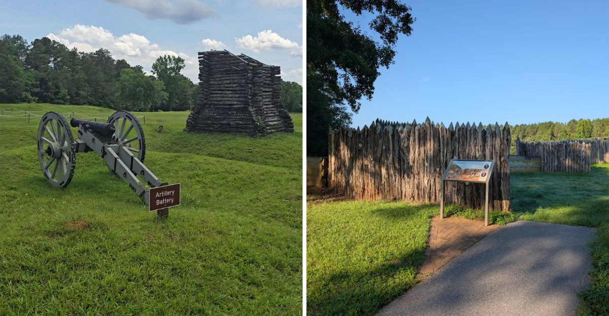
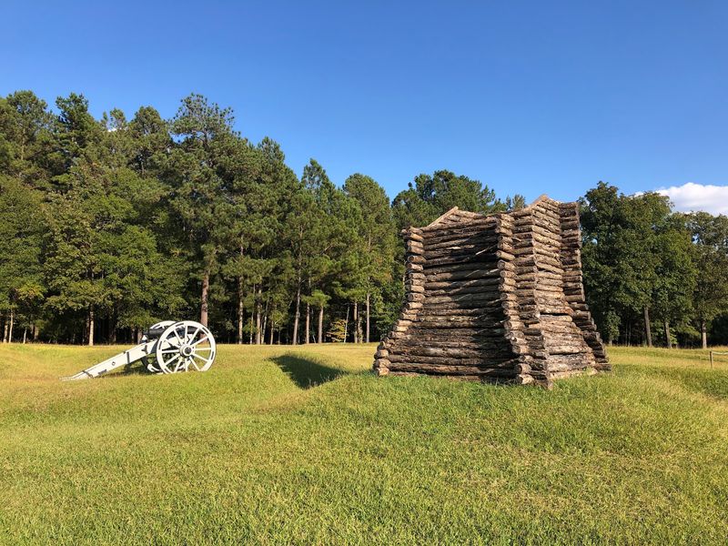
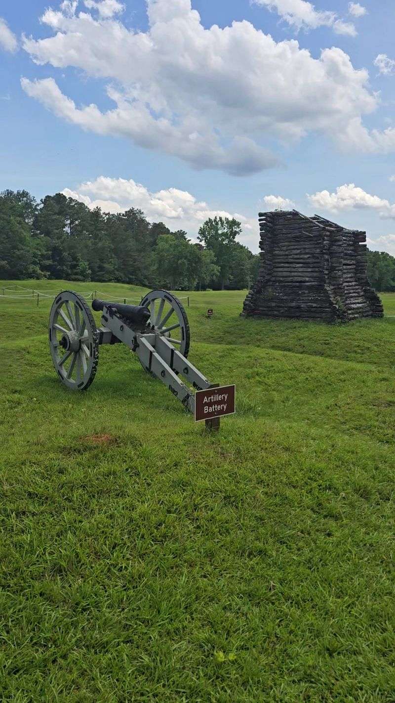
Standing near the reconstructed Stockade Fort helped me picture how close and personal that early fight must have been. Sharpened logs, cramped space, neighbors on opposite sides.
That last part sticks with me. In the backcountry, this war often pitted people who knew each other by name, and the site does not sugarcoat that.
The museum in the visitor center gives you the setup before you walk out, with artifacts, oil paintings of the battle and its leaders, and a short video worth sitting through. I watched it first and understood the trail signs far better than I would have otherwise.
Twenty-Eight Days of Digging and Waiting
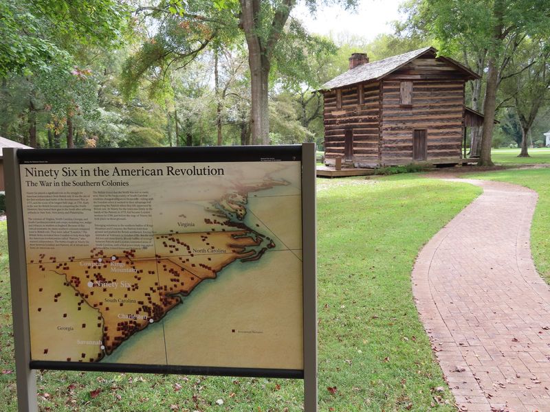
The siege trenches surprised me more than the fort did.
From May 22 to June 18, 1781, Continental Army Major General Nathanael Greene brought somewhere between 1,000 and 1,600 Patriot troops against 550 Loyalists holding the fortified village. Twenty-eight days of it.
That makes this the longest field siege of the entire Revolutionary War.
Greene’s men dug their way forward, inching trenches closer to the earthen walls so they could attack without being cut down crossing open ground. Some of those trenches are partially reconstructed today, and following one gave me a real sense of how slow and exhausting the work must have been in Carolina heat.
They also tried tunneling under the fort to bring the walls down from below, an approach that never quite paid off.
Polish officer Tadeusz Kosciuszko lent his engineering skill to the Patriot effort during these operations, which I did not expect to find in rural South Carolina. Reading his name on a sign out here is one of those small moments that widens the whole story.
Why the Winners Walked Away Anyway
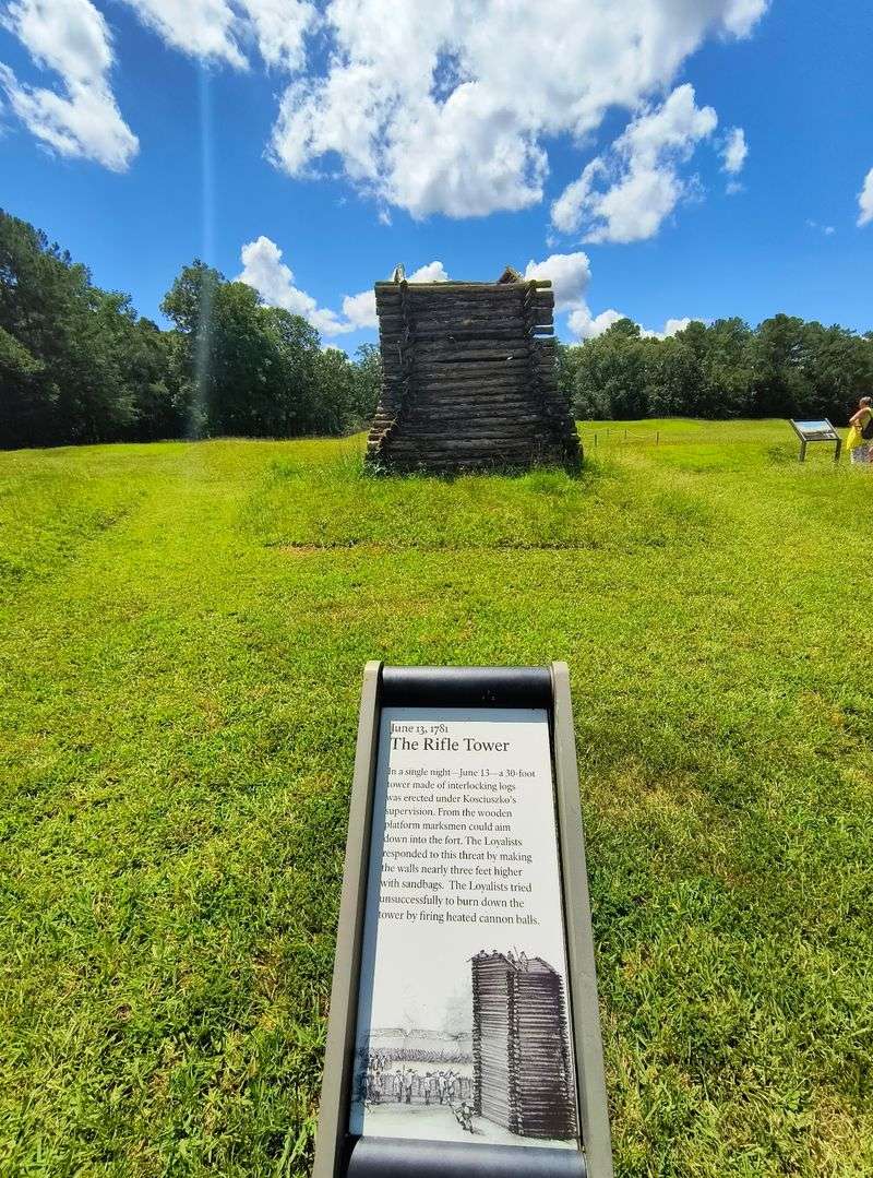
Winning and staying are two different things, and Ninety Six proves it.
Despite badly outnumbering the defenders, Greene never captured the town. Word came that British relief troops were marching up from Charleston, and he lifted the siege rather than get caught between an enemy in front and an army behind him.
So the Loyalists technically held their ground. Then they abandoned it anyway, burning what remained and pulling their garrison back toward the coast.
The town never came back. What had been a courthouse village at the crossing of twelve roads simply stopped existing, and that emptiness is exactly what you feel walking the open fields today.
I found myself lingering on a bench near the fort thinking about how odd that is. No ruins of brick walls, no old main street, just contours in the grass and interpretive signs filling in the blanks.
Ironically, the abandonment is why the earthworks survived so well. Nobody plowed it flat, nobody built a shopping center on top of it, and the shape stayed put for well over two centuries.
One Easy Mile With a Few Honest Hills
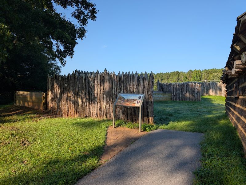
The loop trail is the heart of a visit here, and it is friendlier than most battlefield walks I have done.
One mile, paved and wide, with interpretive signs at every major stop. The route links the Star Fort, the original town site of Old Ninety Six, the reconstructed Stockade Fort, and traces of the historic roads that once met here.
Benches appear at useful intervals, which I appreciated more than I expected on a warm afternoon.
A word of caution: a couple of sections climb noticeably, so wear real shoes rather than flip-flops. Wheelchair users can manage much of it, though the grades may take a helping hand.
You can rent a self-guided audio tour, and there is a gift shop inside the visitor center. Rustic side trails branch off if you want woods instead of history signs, and a pond with its own short path sits nearby.
Doing the loop in reverse works fine too. I met people who accidentally started backward and ended up walking downhill in the shade, which honestly sounds smarter.
Planning a Visit Without Missing the Good Stuff
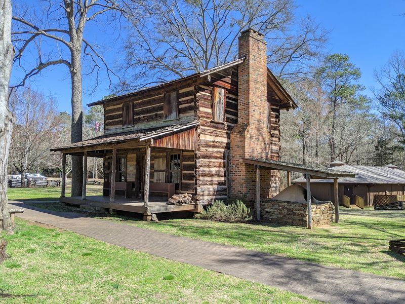
A little planning turns this from a quick stop into a genuinely good half day.
The site became a National Historic Site in 1976 and now protects 1,022 acres, sitting about two miles south of the modern town of Ninety Six on South Carolina Highway 248. The visitor center runs Wednesday through Sunday, 9 AM to 4:30 PM, and closes Monday and Tuesday, so check before you drive out.
Gates close at 4:30, though parking outside means you can still walk the trail.
Restrooms are clean, there is a water bottle filling station, and a picnic area with tables makes a nice lunch break. Leashed dogs are welcome, and waste bags are provided along the way.
Families should ask about the Junior Ranger program, which gave the kids in my group a reason to actually read the signs. Geocachers have fun here too.
Budget ninety minutes at minimum, or closer to two hours if you read everything and watch the film. Rangers here answer questions happily, so ask them.
Address: 1103 SC-248, Ninety Six, SC 29666
