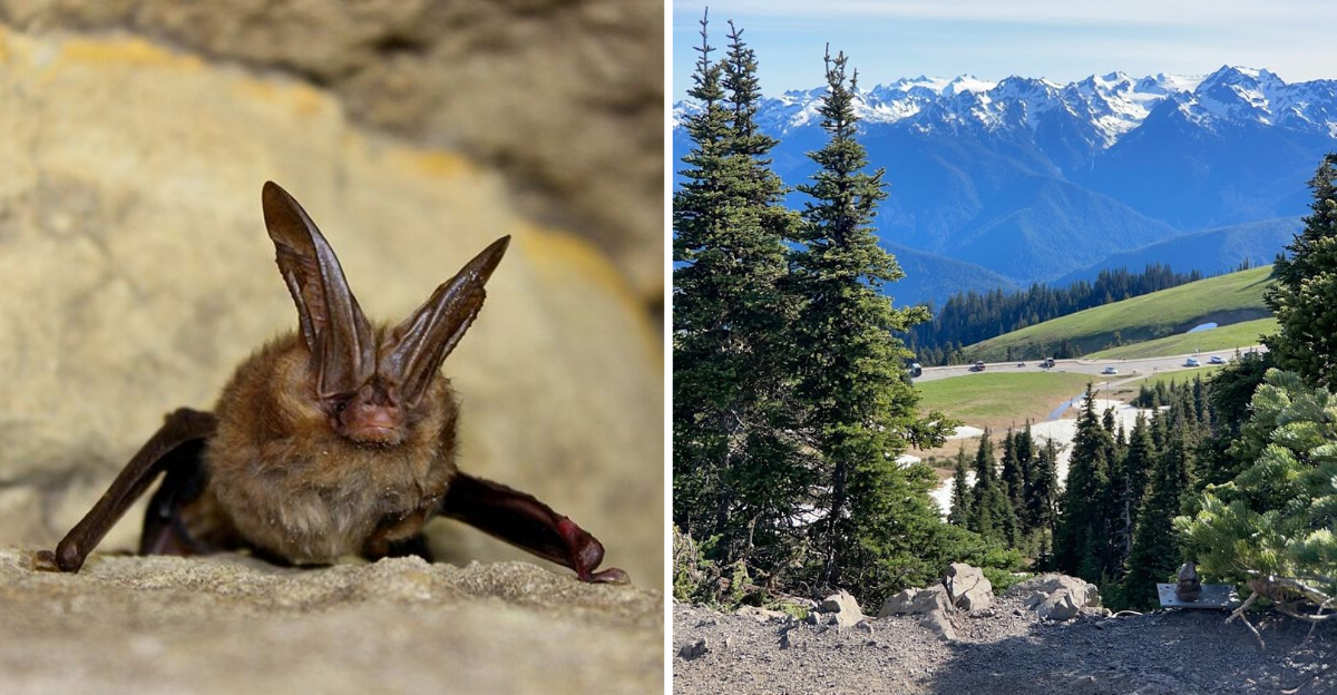
West Virginia gets a bad rap sometimes. People call it quiet. Rural. Predictable.
They could not be more wrong. This state is packed with weird, wonderful, and completely unbelievable truths that sound like pure fiction.
You have probably heard a few wild facts and thought, “No way that is real.” Prepare to be proven wrong.
From a town that legally banned the future to a mountain that catches fire on its own, West Virginia does not play by the rules.
It marches to its own strange, fascinating beat. The kind of place where fact is stranger than fiction and reality outruns imagination.
Honestly, these facts will make you question everything you thought you knew. Ready to have your mind blown?
Good. Let us dive in.
1. A State Born in the Middle of the Civil War
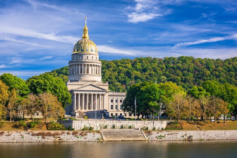
Few states can claim a birthday quite like this one. West Virginia officially joined the Union on June 20, 1863, right in the middle of one of the bloodiest conflicts in American history.
That is not a typo, and it is not a coincidence.
The split from Virginia happened because the western counties had deep disagreements with the eastern part of the state over slavery and loyalty to the Union. The people living in the rugged mountain regions had different economic realities and different values.
They did not want to follow Virginia into the Confederacy, so they simply did not.
What followed was a legal and political scramble unlike anything else in U.S. history. The process of forming a new state during active wartime was messy, controversial, and genuinely bold.
President Abraham Lincoln signed the statehood bill into law, making West Virginia the 35th state. It remains the only state to have been formed by seceding from a Confederate state during the Civil War.
That origin story alone sets it apart from every other state on the map.
2. The Pepperoni Roll Was a Coal Miner’s Lunch

There is something deeply satisfying about food that was invented out of pure necessity. The pepperoni roll is West Virginia’s most iconic baked good, and its origin story is as hardworking as the people who created it.
Coal miners needed a lunch that was portable, filling, and required no refrigeration deep underground.
Italian immigrants who came to the Mountain State for work in the early 20th century brought their culinary traditions with them. Around 1927, a man named Giuseppe Argiro began selling these rolls commercially at his Country Club Bakery in Fairmont.
The concept was brilliantly simple: soft bread baked around sticks of pepperoni, creating a self-contained, grease-soaked, utterly delicious meal.
You could eat it with one hand while working, tuck it in a pocket, and it stayed good for hours. No refrigerator, no utensils, no fuss.
Today, the pepperoni roll is found in gas stations, bakeries, and grocery stores all across West Virginia. It has become a symbol of cultural identity, a small, humble roll that carries the weight of immigrant labor history in every single bite.
3. Mother’s Day Has Deep West Virginia Roots
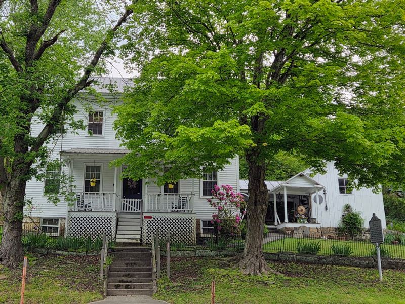
Every second Sunday in May, people across the country celebrate their mothers, and almost none of them know where this tradition actually started. The answer is a small town in West Virginia, and the story behind it is genuinely moving.
Anna Jarvis, born in Webster, West Virginia, lost her mother in 1905 and became determined to honor her memory in a lasting way.
She campaigned tirelessly for a national holiday dedicated to mothers, writing letters to politicians, newspapers, and community leaders for years. Her persistence paid off in a big way.
On May 10, 1908, the first official public Mother’s Day service was held at Andrew’s Methodist Episcopal Church in Grafton, West Virginia.
That single church service sparked a national movement. By 1914, President Woodrow Wilson officially proclaimed Mother’s Day a national holiday, cementing its place on the American calendar forever.
West Virginia did not just contribute to this holiday; it literally gave birth to it. Next time you hand over a bouquet or make a phone call on that Sunday in May, you are participating in a tradition that traces its roots directly back to the Mountain State.
4. The New River Is Surprisingly Ancient
The name is wildly misleading. The New River is not new at all.
In fact, it is one of the oldest rivers in North America, and some geologists rank it among the five oldest rivers on the entire planet.
That is a staggering claim for something called “new.”
Estimates place the river’s age somewhere between 65 million and 325 million years old, depending on which geological evidence you lean on. Either way, it predates the Appalachian Mountains themselves, which means it was flowing long before the peaks around it even existed.
As the mountains slowly rose, the river simply kept cutting through them.
The ancient Teays River, a predecessor system, gives context to just how long this waterway has been shaping the landscape. The gorge it carved over millions of years is now one of the most dramatic natural features in the eastern United States.
Standing at the rim and looking down, you are staring at the result of an almost incomprehensibly long geological process. The word “new” attached to something this ancient feels like the universe’s best geological joke.
5. This River Flows North Because Normal Is Boring
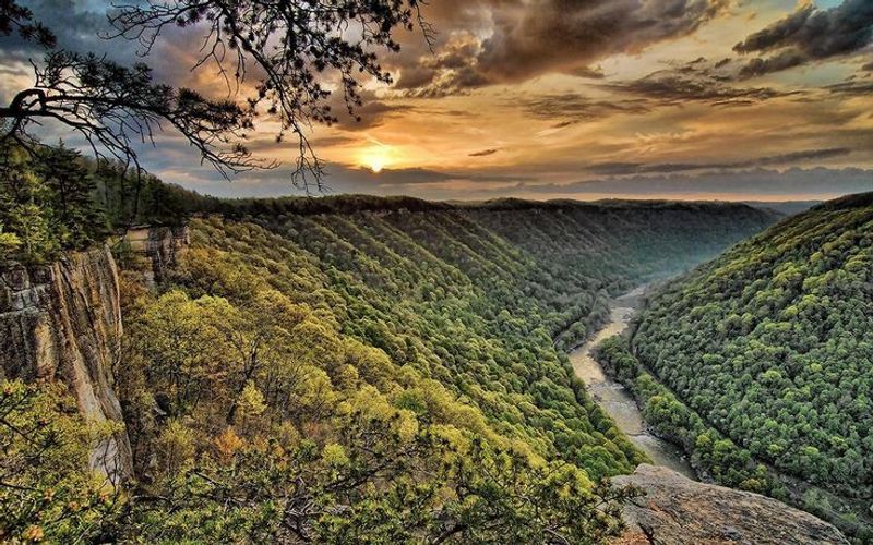
Most rivers in the United States flow southward. Gravity, continental slope, and basic geography tend to push water in that direction.
The New River missed that memo entirely and flows north, which sounds like a small detail until you really think about what it means geologically.
The reason comes down to age. Because the New River existed before the Appalachian Mountains fully formed, it had already established its path.
When the land began to rise around it, the river did not get redirected. It simply kept carving downward through the rising rock, maintaining its northward course like it had something to prove.
That geological stubbornness created the stunning New River Gorge, one of the deepest river gorges in the eastern United States. The river did not go around the mountains; it went through them, on its own terms, heading north the whole time.
It is a perfect example of how age and persistence can reshape an entire landscape. For a river with such a forgettable name, the New River has one of the most extraordinary stories of any waterway on the continent.
6. One Bridge Turned 40 Minutes Into Seconds
Before 1977, crossing the New River Gorge was a genuine commitment. Drivers had to wind their way down steep, narrow mountain roads, cross the gorge at the bottom, and then climb back up the other side.
The whole process took roughly 40 to 45 minutes of careful, winding driving through challenging terrain.
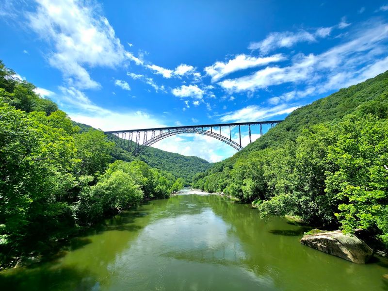
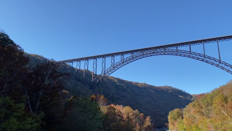
Then the New River Gorge Bridge opened, and that 40-minute ordeal became a 45-second crossing. The bridge sits 876 feet above the river, connecting the two sides of the gorge in one dramatic, sweeping arc of steel.
Communities that had been functionally separated by geography were suddenly neighbors.
The impact on daily life for people in the region was enormous. What used to require careful planning and extra time became a quick, almost effortless crossing.
The bridge did not just save time; it changed how people lived, worked, and connected with each other across the gorge. It is one of those infrastructure achievements that sounds boring on paper but represents a genuinely transformative shift in the lives of real people.
Standing on it and looking down 876 feet makes the old road feel very far away.
7. The Country’s Longest Steel Arch Lives Here
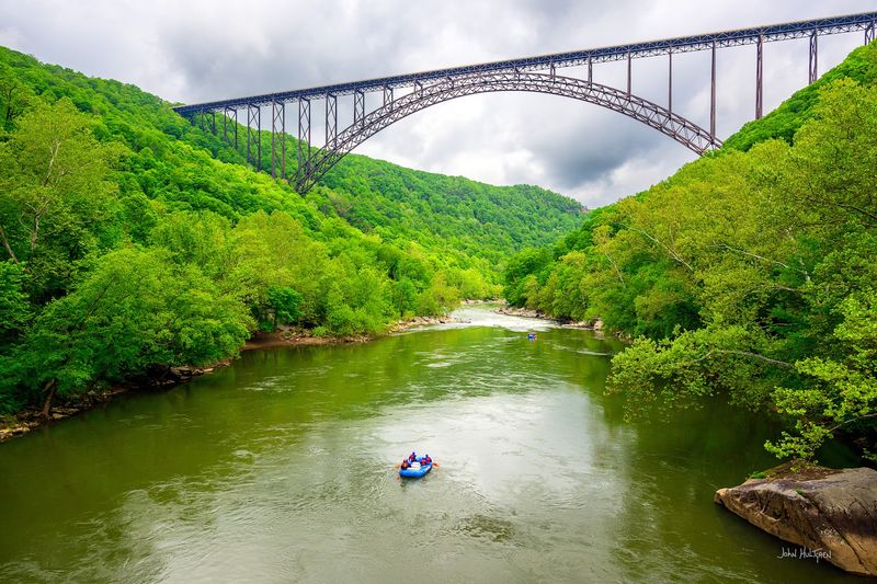
The New River Gorge Bridge is not just impressive to look at; it holds a title that no other bridge in the United States can claim. Its main steel arch spans 1,700 feet, making it the longest steel arch bridge in the entire country.
For 26 years after it opened in 1977, it also held the record for the world’s longest single-span arch bridge.
Other bridges have since surpassed it globally, but it still ranks as the seventh longest in the world and remains the longest steel span in the entire Western Hemisphere. Those are not minor distinctions.
The full structure stretches 3,030 feet from end to end, rising nearly 900 feet above the river below.
Engineers and construction crews pulled off something extraordinary when they built it, working across a gorge so deep and wide that the challenge was genuinely unprecedented at the time. The steel used in the arch alone weighs an almost incomprehensible amount.
Every year on Bridge Day, the third Saturday of October, the bridge closes to vehicles so people can walk across it, rappel off it, and celebrate this remarkable structure. West Virginia wears this record with well-deserved pride.
8. West Virginia Has No True Natural Lakes
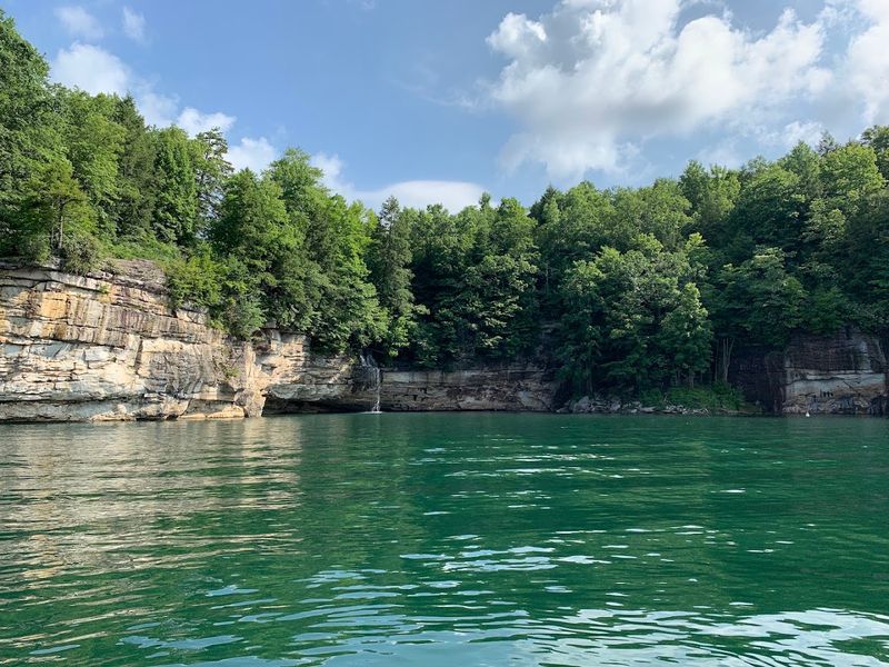
For a state covered in rivers, streams, and mountain terrain, this fact catches people completely off guard. West Virginia has no true major natural lakes.
None. The bodies of water that locals and visitors enjoy as lakes are almost entirely man-made reservoirs, created by damming rivers for flood control, hydroelectric power, or water supply.
The reason comes down to the state’s intensely rugged topography. The steep mountain ridges and deeply carved valleys that make West Virginia so visually stunning are actually the same features that prevent natural lakes from forming.
Lake basins require relatively flat, low-lying land where water can collect and pool without draining away quickly.
West Virginia’s terrain simply does not cooperate with that process. Water finds a river or a stream and moves on, carving its way through the mountains rather than settling into a basin.
The irony is that the same geography responsible for some of the most beautiful scenery in the eastern United States is also the reason you will never find a naturally occurring lake there.
It is one of those facts that makes you rethink everything you assumed about what a landscape can and cannot hold.
9. Two Towns Are Literally Named Hurricane and Tornado
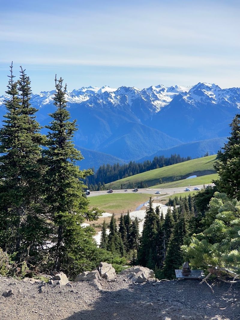
Somewhere in a planning meeting long ago, someone looked at a map of West Virginia and apparently decided subtlety was overrated. The state is home to two towns with names that sound like a weather emergency: Hurricane and Tornado.
Both names have backstories that are even more entertaining than the names themselves.
Hurricane, West Virginia, got its name from Hurricane Creek. According to local legend, surveyors working for George Washington in 1774 found a cluster of trees all bent in the same direction at a creek confluence, as if a powerful storm had swept through.
They called it the place of the hurricane, and the name stuck through generations.
Tornado, about 27 miles southeast, reportedly earned its name in 1881 during a heated community debate over what to call the settlement.
Residents were so divided and argumentative that someone declared there had been “such a storm raised” over the discussion that Tornado was the only fitting name.
The delightful irony is that both areas actually experience very few real tornadoes or hurricanes. West Virginia gave its stormiest names to some of its calmest corners, which feels perfectly on brand for a state full of surprises.
10. Rare Bats Consider West Virginia Their Stronghold
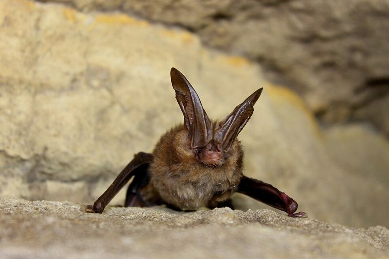
As the sun drops behind the Appalachian ridgelines, something stirs in the caves and forests of West Virginia that most visitors never get to see.
The state serves as a critical stronghold for several rare and federally endangered bat species, making it one of the most important bat habitats in the entire eastern United States.
That is not a small deal in the world of wildlife conservation.
The Virginia big-eared bat and the Indiana bat are two of the most significant species that depend on West Virginia’s landscape for survival. Both are listed as federally endangered, and both rely on the state’s extensive cave systems for roosting and hibernation.
West Virginia has hundreds of caves, many of them deep, stable, and undisturbed enough to support vulnerable bat populations through harsh winters.
The vast tracts of Appalachian forest surrounding those caves provide essential foraging habitat, giving bats the insect-rich environment they need to thrive during warmer months.
Protecting these populations matters far beyond state lines, as bats play a massive role in controlling insect populations across entire ecosystems.
West Virginia’s wild, rugged terrain is not just beautiful; it is genuinely life-saving for creatures most people never think about.
11. More Than Half the State Line Follows Rivers
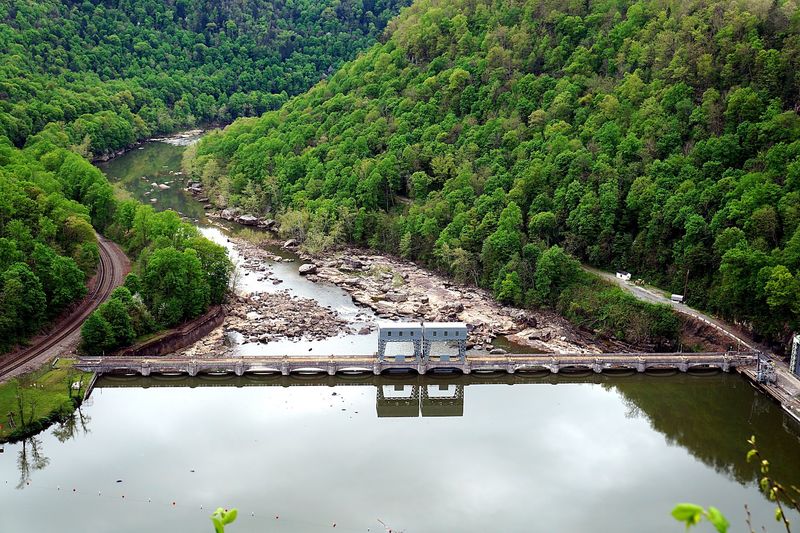
Pull up a map of West Virginia and look at its borders. They are not straight lines.
They curve and bend in ways that look almost organic, because a huge portion of them literally are. Over 60 percent of West Virginia’s state boundary is defined by rivers, a higher percentage than most other states in the country.
The Ohio River traces the western border, the Potomac River defines much of the northeastern edge, and the Tug Fork runs along part of the southwestern boundary. These waterways did not just influence where the borders were drawn; they essentially drew them.
Early surveyors and legislators used the natural geography as the most logical and enforceable dividing line between territories.
The result is a state shape that looks like it was sketched by someone who was more interested in following the water than drawing clean edges. West Virginia’s panhandles, its odd angles, and its flowing borders all reflect the reality of a landscape shaped by rivers first and politics second.
It gives the state a uniquely organic outline on any map, a visual reminder that geography often has more influence over history than people do. Rivers made this state, in more ways than one.
12. The Mountains Wear Some Seriously Ancient Greenery
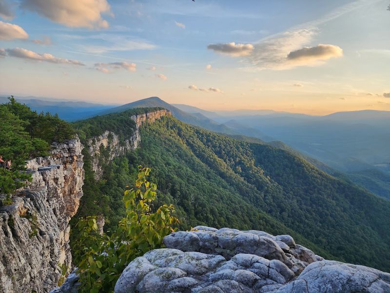
Walking through certain parts of West Virginia’s forests feels different from other places. The trees are bigger, the canopy is denser, and the whole environment carries a weight that is hard to put into words but easy to feel underfoot.
That feeling has a real explanation: some of these forests have been growing, largely undisturbed, for centuries.
Within protected areas like the Monongahela National Forest, remnants of old-growth forest survive, ecosystems where trees have never been logged and the understory has developed over generations of growth and decay.
The Appalachian Mountains themselves are among the oldest on Earth, and the plant communities that have adapted to them reflect that deep history.
Certain fern species, mosses, and wildflowers found here exist in relationships with their environment that took thousands of years to develop.
The varied microclimates created by West Virginia’s complex ridges and valleys allow an extraordinary range of plant species to coexist in a relatively small area. Botanists consistently find this biodiversity remarkable.
Standing beneath a tree that has been growing since before the United States existed is a quietly humbling experience, one that the mountains of West Virginia offer without any fanfare at all.
13. A Waterfall Spreads Across 1,500 Feet of River
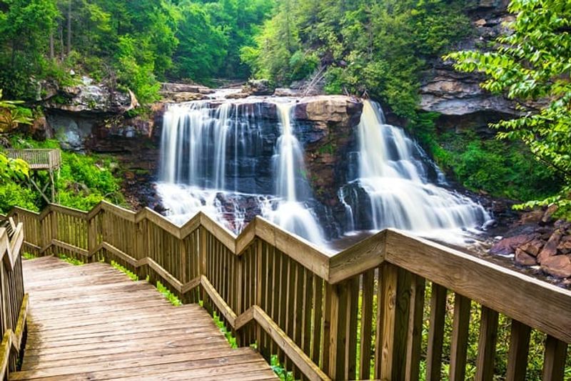
Most waterfalls are tall and narrow, the kind you crane your neck to see from below. Kanawha Falls plays by completely different rules.
Located on the Kanawha River in West Virginia, this waterfall does not drop dramatically from a great height. Instead, it spreads itself across the entire width of the river, creating a massive horizontal curtain of moving water that stretches roughly 1,500 feet from bank to bank.
The drop is only about 20 to 24 feet, which sounds modest until you grasp the sheer volume of water making that drop simultaneously across such an enormous width.
The effect is less like a traditional waterfall and more like watching an entire river step down a giant staircase all at once.
It is genuinely hard to take in the full scale of it from any single vantage point.
Kanawha Falls sits just about a mile downstream from where the New and Gauley rivers converge to form the Kanawha River, meaning all that combined water immediately hits this natural barrier. The power and spread of the falls reflect that massive upstream contribution.
West Virginia’s largest waterfall is not the tallest in the state; it is simply the widest, and that distinction makes it one of the most visually arresting natural features in the entire region.
