If you chase winter across the Plains, you know how fast a clear North Dakota horizon can vanish.
One minute, it is calm. The next, the road is gone.
This storm does not mess around.
Light flakes turn into a full whiteout in minutes.
Towns, highways, and ranches all get caught up.
Need a guide that actually gets it?
This list shows the people and places that carry the state through it all.
You will find practical tips, a little warmth, and a map for when the sky turns pure white.
It is chaos. It is beauty.
And yes, it is way more fun than it sounds.
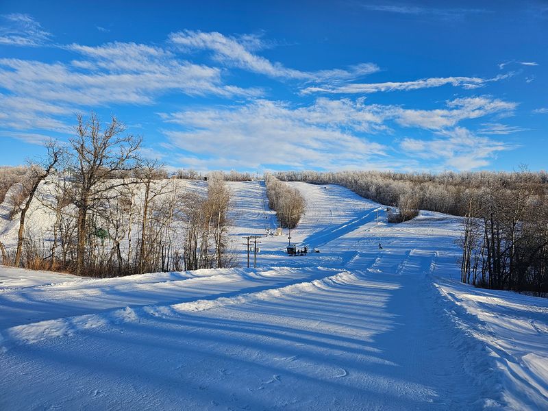
Forecast Maps Turn Into A Wall Of White

When a storm rolls across North Dakota, the first thing you notice is the map.
Colors harden on the National Weather Service radar, and the dome outside Grand Forks hums like it’s working overtime.
Wind bands organize. Snowfall spikes. Visibility drops to near zero across the open prairie.
Normally, you scroll past weather text, right? Not today. Today, every word matters.
The Grand Forks office posts constant updates.
Watches, warnings, timing windows, wind gust ranges.
Want clarity? Open the radar loop and track it with your route.
Bismarck covers the west and central corridor.
Loose snow hits open fields, and a light flurry can turn into a whiteout in seconds.
Have you ever been fooled by a calm that isn’t calm at all?
Fargo and Minot TV centers add road cams, making the risk real.
You match the frames to the map, plan your stops, and watch the sky and the screen together.
North Dakota rewards travelers who pay attention.
A map and a webcam might just become your best companions on the road.
Interstates Close And Back Roads Vanish
When the blizzard hits, the highways close fast, and red bars creep across the map like a curtain.
You think a four-lane road will save you? It doesn’t.
The gates at the ramps tell the truth.
Knowing where to pause feels better than rushing.
Check the North Dakota Department of Transportation Travel Map from a warm spot indoors.
Cameras on I-94 near Jamestown and Valley City, I-29 near Grand Forks and Wahpeton, show snow, plows, and zero visibility.
If you need a backup route, the map marks safe county roads.
Back roads shut first. One mile looks fine, the next disappears into white.
High-clearance trucks help, sometimes. Ditches run deep and snow stacks across curves.
You learn fast that patience beats speed.
Service plazas and visitor centers are lifesavers.
So park, grab a coffee, check the boards, reset the plan.
Staff know what’s closed and what’s open.
On days like this, the map is more honest than the windshield.
Towns Flip To No Travel Advised Mode
The shift from normal to no travel advised hits North Dakota fast.
One post from the city or county pages, and streets empty almost instantly.
Porch lights and flags stay on, but intersections go quiet.
You hear only the wind on the signs.
Downtowns don’t stop, they slow, and the pulse softens, careful and steady.
City halls in Bismarck and Fargo share updates that local radio reads out.
Residents forward the news. You scroll for transit pauses, facility closures, and warming center hours.
One reliable source keeps the rumors from taking over.
County emergency management posts phone numbers and alerts to keep people off drifted back roads.
“No travel advised” appears before full closures, a simple nudge to pause.
Lodging near plowed corridors works best. Avoid cul-de-sacs that drift fast.
Public libraries sometimes double as quiet shelters.
You step inside, warm up, grab wifi, and recheck the forecast.
Simple signs and clear words guide the community.
Snowplow Crews Go Into Around The Clock Shifts
When the big orange trucks roll at dawn and again after midnight, you know North Dakota’s snowplow crews are on split shifts.
They keep main roads open just enough for ambulances and stranded cars.
The routine looks simple, but route planning, fuel management, and visibility calls are constant judgment. Travel smart, and learn their rhythm.
Plows launch in convoys from the Bismarck and Fargo district garages when wind and snow peak.
You might see them staging at ramps, then clearing shoulders before drifts harden.
That pattern helps you plan windows between passes.
County crews prioritize bridges, schools, and key rural roads.
Early anti-icing lines mark the start, then heavier material hits once flakes stick.
Stick to main corridors, because they pass more often and reduce stress.
Rest areas become staging points for updates on visibility and stranded vehicles.
You can pause, check road cams, and join the flow safely behind a plow.
North Dakota moves on careful timing, and if you watch, you’ll move with it.
Ranchers Worry About Herds More Than Headlines
Out past the towns, the storm becomes about windbreaks, feed lines, and water access.
Ranchers keep moving even when the news cameras stay in the city.
You feel the scale when a shelterbelt holds and the yard drifts to the door in one push.
Watch where the cows would stand if you opened the gate. That’s the real marker.
North Dakota State University Extension publishes practical winter livestock guidance long before the first flake.
Checklists cover bedding, tank heaters, and emergency routes in plain talk.
Advice that fits the work, not buzzwords, is worth following.
County ag offices, like Morton County Extension, answer phones when the wind gets fierce.
The guidance repeats: keep water open, feed reachable, and paths marked.
Snow depth matters less than wind chill on wet hides.
Supply hubs stock tank parts, gates, and bale twine, lifelines during a long blow.
Step inside, grab what works, and move fast while daylight holds.
Ranch country measures storms by what the herd needs, not how the highway looks.
Small Town Stores Become Storm Headquarters

When snow stacks up and roads fade, the local hardware or grocery store becomes the place where updates, gloves, and batteries all change hands.
You feel the shift as neighbors swap road tips by the entry mat and the clerk points to a county printout.
This is travel that touches real life.
At Kenmare Hardware Hank, you’ll find shovels, ice melt, and advice that saves a wrong turn.
In Finley, a small hardware bell marks each new update.
Hearing road truth from someone who drove it an hour ago beats any app, hands down.
Grocery anchors like Linton Food Center keep shelves steady and often hold a corkboard with closure notices and volunteer offers.
Pick up supplies, ask about plow timing, and get directions to a warming spot.
Even gas stations become informal community boards.
A handwritten note at a Cenex might beat digital alerts by an hour.
Lean on the counter, charge your phone, and reset your plan with a calmer head.
Schools Close And Whole Counties Go Quiet
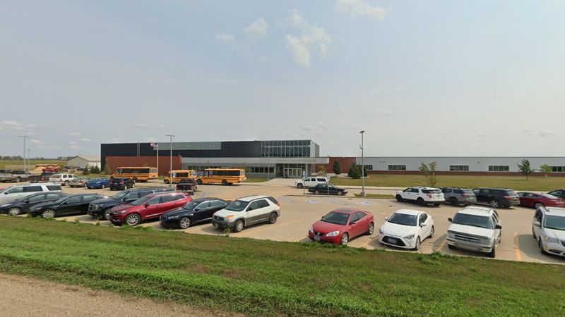
On blizzard mornings in North Dakota, the list of school closures reads like a roll call of counties, and the sudden quiet around the buildings shows you how wide the storm reaches.
Empty bus loops stretch under gray skies, and a few classroom lights glow where staff tidy and post updates.
If you like a calm start, this is a different kind of calm.
Fargo Public Schools and Bismarck Public Schools announce decisions early, with clear wording about activities and virtual options.
You check their pages, then cross-reference with county alerts to judge back road risks. Because, safety first.
Smaller districts, like Rugby, post on local radio and social feeds, letting neighbors know which roads are clear for emergencies and which are drifted shut.
You notice how a single school’s call can set the tone for an entire town.
Even public universities such as Minot State update campus closures and plowing schedules.
Walking past quiet halls, you recheck the storm path and respect the stillness.
School doors are signals, and on days like this, those doors stay firmly shut, keeping everyone safe and grounded.
Travelers Ride It Out In Roadside Motels
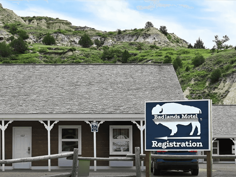
When highway gates close and the wind climbs, the smart move is a nearby motel where the front desk knows which lots drift and which doors stick.
You might think you can push another hour, then a whiteout makes the decision for you in a clean line.
Pick a place with interior corridors and steady power if you want to feel prepared.
Look for familiar stops along the frontage roads.
In Bismarck, Country Inn & Suites sits near plowed routes and keeps lobby seating open for weather checks.
Fargo’s AmericInn by Wyndham offers a warm base close to fuel and main arterials.
Do you like having food, updates, and heat within a short walk when visibility drops?
Smaller towns along I?94 and I?29 have reliable options too.
Staff track the NDDOT map, call out plow passes, and help you pick a room where drifting is slower.
Park nose out and clear wipers before bed if you want an early start.
Lobby seating turns into a quiet forum. Travelers compare drive times, camera views, and the moment the lights flicker.
You charge devices, spread the map, and set alarms for road checks.
Neighbors Check On Each Other By Truck
Even in deep snow, the hum of a pickup rolling through a North Dakota neighborhood tells you someone is checking on a friend, a parent, or a new neighbor.
You can see a window shade lift, a wave, or a thumbs-up.
The truck keeps moving, idling steadily.
If you like proof that small gestures matter, this is it.
Community hubs like the United Way coordinate wellness calls and rides when conditions allow.
You can add your name, request a check-in, or offer help if your vehicle handles drifts well.
Do you prefer plans that pair people with streets they already know?
Volunteer fire halls often act as meeting spots before short runs.
Sand buckets, radios, and maps with addresses that need attention are all ready.
Tell someone your route and return time if you want to stay safe.
Churches and community centers open doors for warmth and brief rest.
Step inside, shake off snow, and swap updates about road conditions.
North Dakota keeps its circles small, steady, and strong when the wind grows loud.
Sky Clears And The Digging Out Begins
After a hard night, the horizon finally sharpens over North Dakota.
You hear the scrape of shovels and the low push of a blower before your coffee cools.
You step outside, test the crust, and set a steady pace along a path that will widen as the sun rises.
If you like a clean start, keep your strokes consistent and your layers simple.
City public works crews, like those in Fargo, head out to widen lanes while residents dig out mailboxes and hydrants.
You time your moves to match their passes so the ridge at the end of the driveway does not return twice.
Do you enjoy solving small problems in the right order, one neat line at a time?
Hardware stores restock salt, shovel grips, and gloves once roads reopen.
Snow stakes and reflective tape make the next storm easier on your back and bumper.
Smart tools turn digging out into a strategy, not just muscle.
Parks and trails, including Lindenwood Park in Fargo, reopen as crews clear loops and bridges.
You walk a short stretch, breathe easy air, and check drifts along the river.
Dear Reader: This page may contain affiliate links which may earn a commission if you click through and make a purchase. Our independent journalism is not influenced by any advertiser or commercial initiative unless it is clearly marked as sponsored content. As travel products change, please be sure to reconfirm all details and stay up to date with current events to ensure a safe and successful trip.