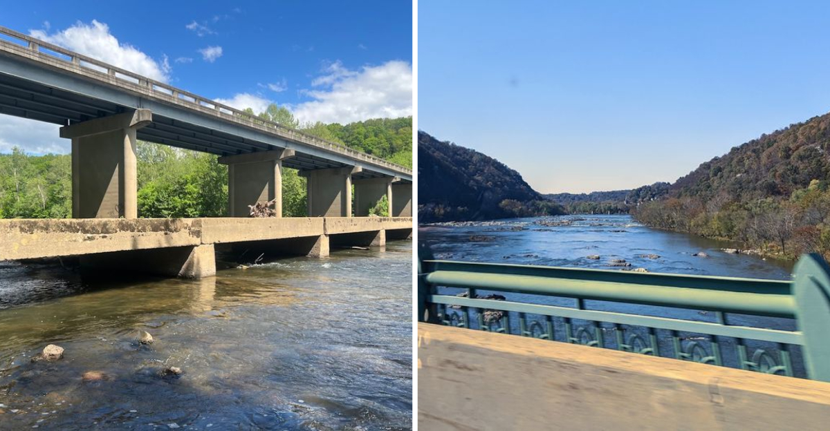
This Virginia spot has a road that seems to melt right into the river, and the first time I saw it, I genuinely had to do a double take.
A low-water bridge sits so close to the surface of the river that driving across it feels like skimming the top of the water itself. It is the kind of place that does not announce itself loudly, but once you find it, it stays with you.
Framed by rolling hills and distant mountain ridgelines, the bridge carries the easy, unhurried rhythm of one of the most beautiful rivers in the state.
I pulled over on a quiet afternoon and just watched the current glide past, wondering how many people had driven right by without ever stopping.
The surrounding landscape shifts with every season, offering something fresh whether you visit in the golden warmth of summer or the quiet chill of winter.
If you have ever wanted a road trip moment that genuinely takes your breath away, this little bridge delivers exactly that.
What Makes the Low Water Bridge So Unique
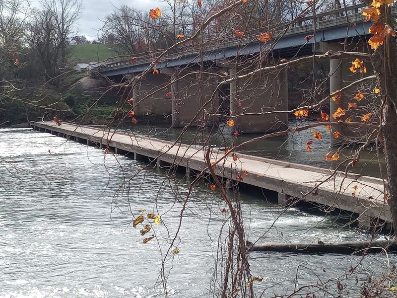
Most bridges lift you above the water. This one does the opposite, placing you right at the river’s edge in a way that feels almost surreal.
The Low Water Bridge near Luray, Virginia, is intentionally designed to sit just above the water line during normal river conditions, giving drivers and passengers the sensation of gliding across the Shenandoah itself.
The bridge is sometimes called Bixler’s Bridge, and it crosses the South Fork of the Shenandoah River near Bentonville. What makes it genuinely unusual is that it is built to be submerged.
When the river rises to around 8 feet, the bridge goes underwater entirely, closing to traffic until levels drop again.
That design is not a flaw. It is a feature rooted in practical engineering for low-traffic rural crossings.
The concrete surface stays low, the water flows over and around it freely, and the structure remains intact. During normal conditions, you can drive right across with the river seemingly inches from your tires.
It is a small, quiet marvel of rural Virginia that most people have never heard of but never forget once they experience it.
The Drive Across: What to Expect Behind the Wheel
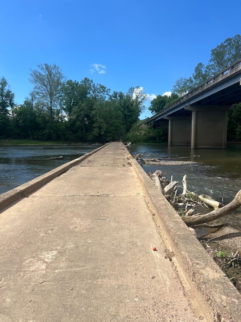
Pulling up to the bridge for the first time, there is a moment where your brain genuinely questions whether it is safe to drive forward.
The road simply drops down toward the river and then continues across what looks like barely elevated concrete.
It feels like you are about to drive into the water rather than over it.
At normal river levels, the crossing is perfectly passable for standard vehicles. The surface is concrete, relatively flat, and wide enough for one vehicle at a time.
You move slowly, partly out of caution and partly because you do not want the moment to end too quickly.
Midway across, the view opens up in both directions along the river. Upstream and downstream, the Shenandoah stretches out with its characteristic gentle bends and tree-lined banks.
It is the kind of view you expect to see from a canoe, not from a car. Checking conditions before visiting is smart since heavy rain can raise river levels quickly and make the bridge impassable.
Local resources and the campground nearby can give you up-to-date information on whether the crossing is open.
The Shenandoah River Setting That Steals the Show
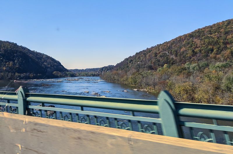
The bridge itself is remarkable, but the river it crosses deserves just as much credit for making this place feel so special. The South Fork of the Shenandoah River in this stretch is wide, calm, and almost impossibly scenic.
The water shifts between clear and greenish depending on recent rainfall, and the banks are thick with trees that lean over the surface.
Blue Ridge Mountain ridgelines frame the horizon in nearly every direction. On a clear day, the reflection of those ridges in the river creates a mirror effect that makes the whole scene feel slightly dreamlike.
It is the kind of natural backdrop that photographers spend hours chasing.
River conditions here vary seasonally. Spring brings higher, faster water that can cover the bridge entirely.
Summer typically offers the calmest and clearest conditions, ideal for both driving across and enjoying the surroundings.
The area is popular for canoeing, kayaking, tubing, and fishing, and on warm weekends you can often spot paddlers drifting lazily downstream.
The river has a personality that changes with the weather and the season, which means no two visits to this spot feel quite the same.
Low Water Bridge Campground: Your Base Camp for the Adventure
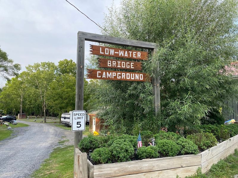
Right next to the bridge sits the Low Water Bridge Campground, and it is honestly one of the better-positioned campgrounds in the Shenandoah Valley region.
The location puts you steps from the river and within easy reach of the bridge itself, making it a natural home base for anyone wanting to explore this corner of Virginia properly.
The campground offers a solid range of accommodations. Primitive tent sites work well for those who want a simple, back-to-basics experience.
RV spots with electric hookups are available for travelers who prefer more comfort, and cabin rentals give families or groups a cozy option without needing to bring any gear at all.
One detail that surprised me was the ice cream parlor on-site. After a long, warm day on the river, that is a genuinely welcome find.
The campground also rents tubes and kayaks, making it easy to plan a river float without hauling your own equipment. Shuttle services help you end your river trip right back at camp.
The address is 192 Panhandle Road, Bentonville, Virginia 22610, which puts you in the heart of some of the most beautiful rural scenery the Shenandoah Valley has to offer.
River Activities That Make This Spot Worth the Trip
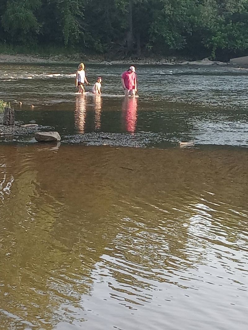
The bridge might be the visual centerpiece, but the river is where most people actually spend their time here.
The South Fork Shenandoah is perfectly suited to a wide range of water activities, from lazy afternoon tubes to more active kayak runs with a bit of current to keep things interesting.
For paddlers looking for a light challenge, Compton Rapid is a Class 2 rapid in this stretch of the river. It is nothing that requires serious whitewater experience, but it adds a pulse of excitement to an otherwise mellow float.
Ideal paddling conditions typically fall when the river sits between 2.5 and 3.4 feet, so checking levels before heading out is worth the extra step.
Fishing is another draw. The Shenandoah holds smallmouth bass and other species that keep anglers coming back regularly.
Even if you are not fishing or paddling, simply sitting on the bank and watching the river move is a genuinely satisfying way to spend an afternoon.
There is something grounding about being next to moving water in a landscape this beautiful.
The whole experience here feels unhurried in the best possible way.
Nearby Attractions Worth Adding to Your Itinerary
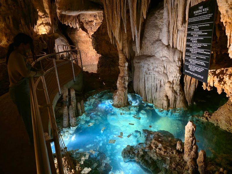
A trip to the Low Water Bridge pairs naturally with several nearby destinations that round out a full weekend in the region.
Luray Caverns is the most famous of them, sitting just a short drive away and drawing visitors with its enormous underground chambers and dramatic limestone formations.
It is one of those places that genuinely impresses regardless of how many caves you have visited before.
Skyline Drive runs along the crest of the Blue Ridge Mountains through Shenandoah National Park, offering overlook after overlook of the valley below.
Stony Man Mountain is one of the more accessible viewpoints along the drive and rewards the effort with sweeping panoramic views.
The whole route has a timeless, unhurried quality that fits perfectly with the mood of the bridge area.
Seven Bends State Park is less than an hour away and adds hiking trails and paddling opportunities to the mix.
The park also features a swinging bridge over the river, which gives you yet another unusual way to experience the Shenandoah from a different angle.
Edith’s Gap Lookout, mentioned by visitors to the bridge area, sits atop a nearby mountain and offers views that make the drive up entirely worthwhile.
Tips for Planning Your Visit to the Low Water Bridge
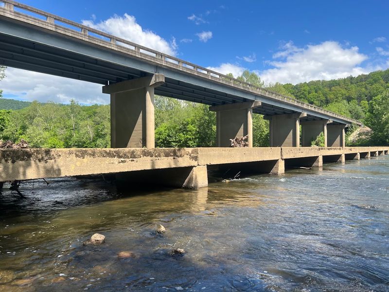
Timing matters more at this spot than at most places. The bridge is only passable when river levels are low enough, which generally means avoiding visits immediately after heavy rainfall.
Checking river gauge data for the South Fork Shenandoah beforehand takes only a few minutes and can save a long drive for a closed crossing.
Summer weekends tend to be the busiest, especially when the campground is full and river activity is at its peak.
If you prefer a quieter experience, weekday visits or early morning arrivals give you the bridge and the surrounding scenery mostly to yourself.
Winter visits, as some reviewers have noted, carry their own quiet beauty, with bare trees opening up longer sightlines across the valley.
Parking is available near the bridge, though it is worth being respectful of private property in the area and following any posted guidelines.
Bringing water, snacks, and sun protection makes the visit more comfortable, especially if you plan to linger by the river.
The bridge is located at Low Water Bridge, Luray, VA 22835, and the drive in through the surrounding countryside is scenic enough to be considered part of the experience itself.
