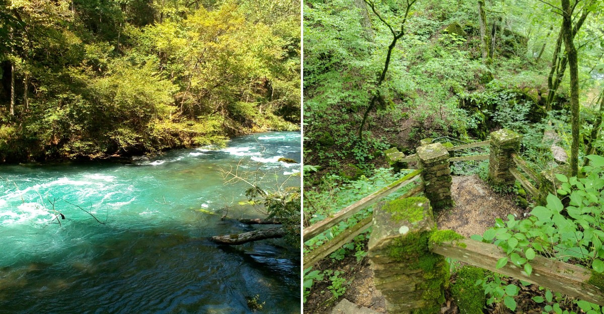
Roughly 222 million gallons of water rise out of the ground here every single day. That’s not a typo, and it all happens at the bottom of a quiet, shady ravine.
The water comes out in two places, about 250 feet apart. One stream pours from a cave mouth, while the other boils up from below like a pot on the stove.
I love that you can reach all of this on foot in under a mile. No boat is needed, no fee is charged, and no special gear is required beyond decent shoes.
Missouri has plenty of famous springs, but few feel this wild and untouched. I believe the hike back up is a fair trade for what waits at the bottom.
A Spring So Big It Earned A National Title
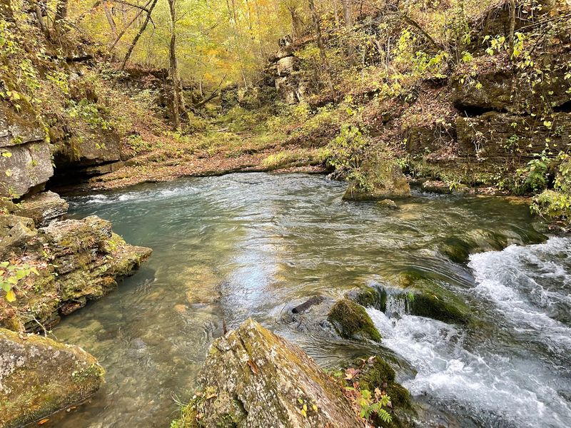
Here’s a fun bragging right for a patch of Ozark woods. Greer Spring is the second-largest spring in Missouri and the largest spring in the entire U.S.
National Forest system.
That’s a big title for a spot most travelers zip right past on the highway. Its average flow sits around 222 million gallons per day, though some sources round it to 220 million.
Numbers that large can feel hard to picture. Think of it as roughly 360 cubic feet of water rushing out every second, nonstop, all year long.
The spring also has official recognition beyond its size. It was named a National Natural Landmark in 1980, which honors places that show off the country’s best natural features.
The U.S. Forest Service has owned the spring since 1993.
That ownership is a big reason it still looks so wild and untouched today.
Plenty of large Ozark springs have roads, buildings, or crowds close by. Greer Spring stands out as one of the most secluded and undisturbed big springs in the region.
So the reward here isn’t just volume. You get a giant natural wonder with the quiet of a forest still wrapped around it, which feels rarer every year.
The Walk In Takes Less Than A Mile, But Save Energy For Later
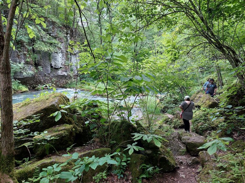
Less than a mile stands between your car and the spring. The Greer Spring Trail runs 0.9 miles one way, making the full trip about 1.8 miles.
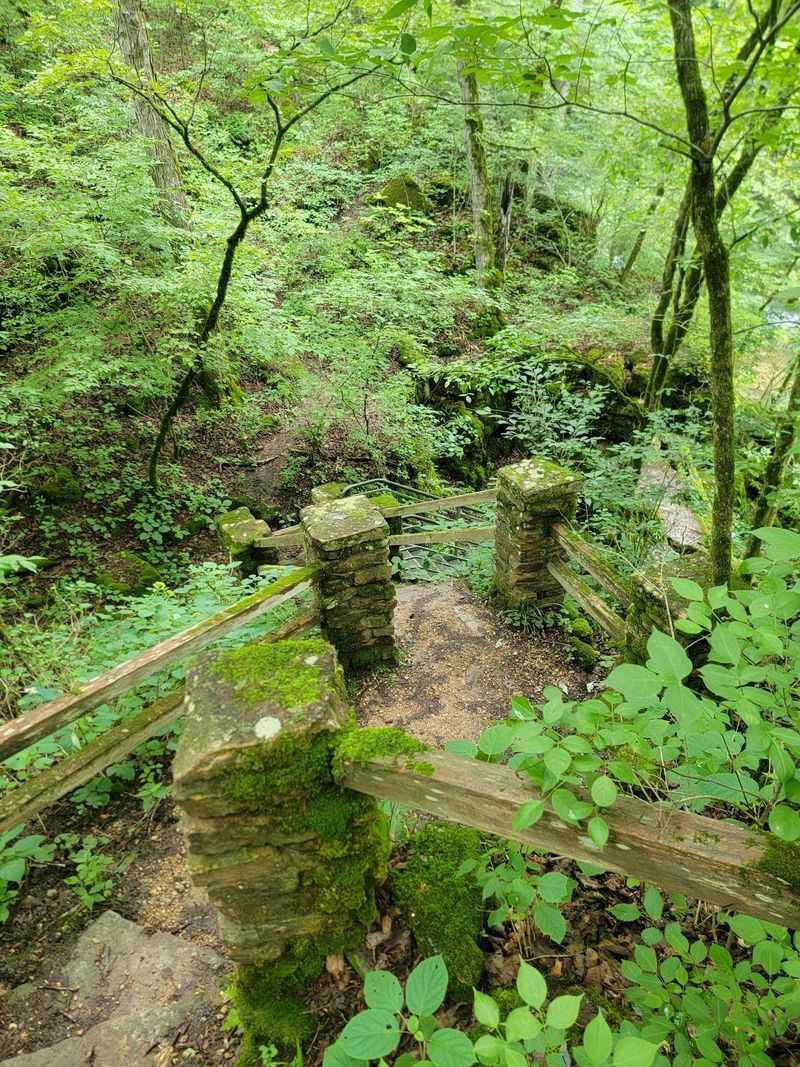
Going down feels easy and pleasant. The trail descends gently at first, then gets steeper as you near the bottom of the ravine.
The return trip is where your legs speak up. You’ll climb back roughly 250 feet in elevation, and that uphill stretch earns its moderately steep rating.
Nothing about it is extreme, though. Most healthy hikers can handle it at a relaxed pace with a few short breathers.
Benches along the route give you places to rest. Use them without shame, because nobody hands out trophies for speed here.
Supportive hiking shoes make a real difference on this trail. Rocks and roots can get slick, especially near the water at the bottom.
Plan on about one to two hours round trip if you want time to enjoy the spring. Rushing through would kind of miss the point.
Pack water before you start, since none is available at the spring. A light snack helps too, especially for that climb back to the parking lot.
Two Outlets, Two Personalities, One Very Cold Spring
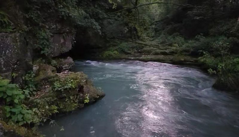
Most springs pick one exit and stick with it. Greer Spring couldn’t decide, so it uses two outlets about 250 feet apart.
When the trail reaches the bottom, turn left to find the first one. Water pours out of Greer Spring Cave, spilling from the rock with steady force.
Head right instead, and you’ll meet the second outlet. That one is a big spring boil, where water surges upward and makes the surface churn like it’s simmering.
Seeing both is absolutely worth the extra few minutes. They feel like two separate attractions sharing the same ravine.
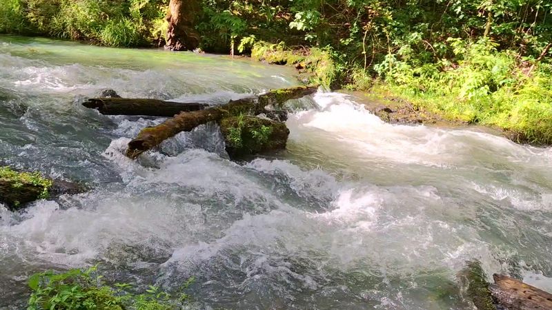
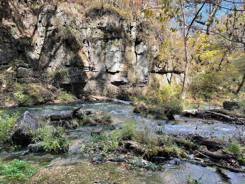
The water itself shows off a deep aqua-blue color. It foams white as it tumbles over moss-covered rocks, which makes for great photos.
You’ll notice the temperature drop as you get close. The air right around the spring feels cool and refreshing, a real treat on a muggy Missouri afternoon.
Just remember the rules before getting any ideas. Wading, fishing, boating, and floating aren’t allowed in the spring branch.
Enjoying it from the bank still feels like plenty. Honestly, standing beside that much rushing water is entertainment enough.
Your Spring Has Been Traveling Underground For Miles
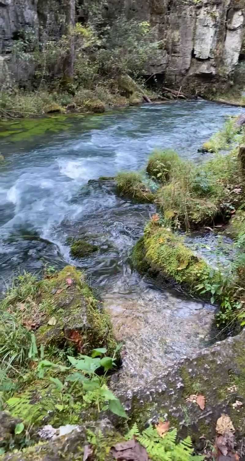
Ever wonder where all that water actually comes from? The answer stretches way beyond the ravine you’re standing in.
Greer Spring gets fed by underground streams and sinkholes as far as 35 miles away. Rain soaks into the ground across that wide area and travels through hidden channels in the rock.
The Ozarks are perfect for this kind of plumbing. The region sits on rock that water slowly dissolves, creating caves, sinkholes, and passageways underground.
So the water bursting out at your feet has been on quite a journey. It’s basically commuting farther than a lot of people do for work.
Rain also changes how the spring behaves. Late spring, especially after rainfall, usually brings the strongest flow of the year.
That makes timing worth considering if you want the full show. A visit after a wet week can mean louder water and more dramatic whitewater.
I like knowing a little about this before going. It turns a pretty view into something bigger, a peek at a massive system working quietly beneath Missouri.
Next time it rains miles away, picture that water slowly making its way here. Pretty cool for a puddle.
Wildflowers And Ferns Steal Scenes All Along The Way
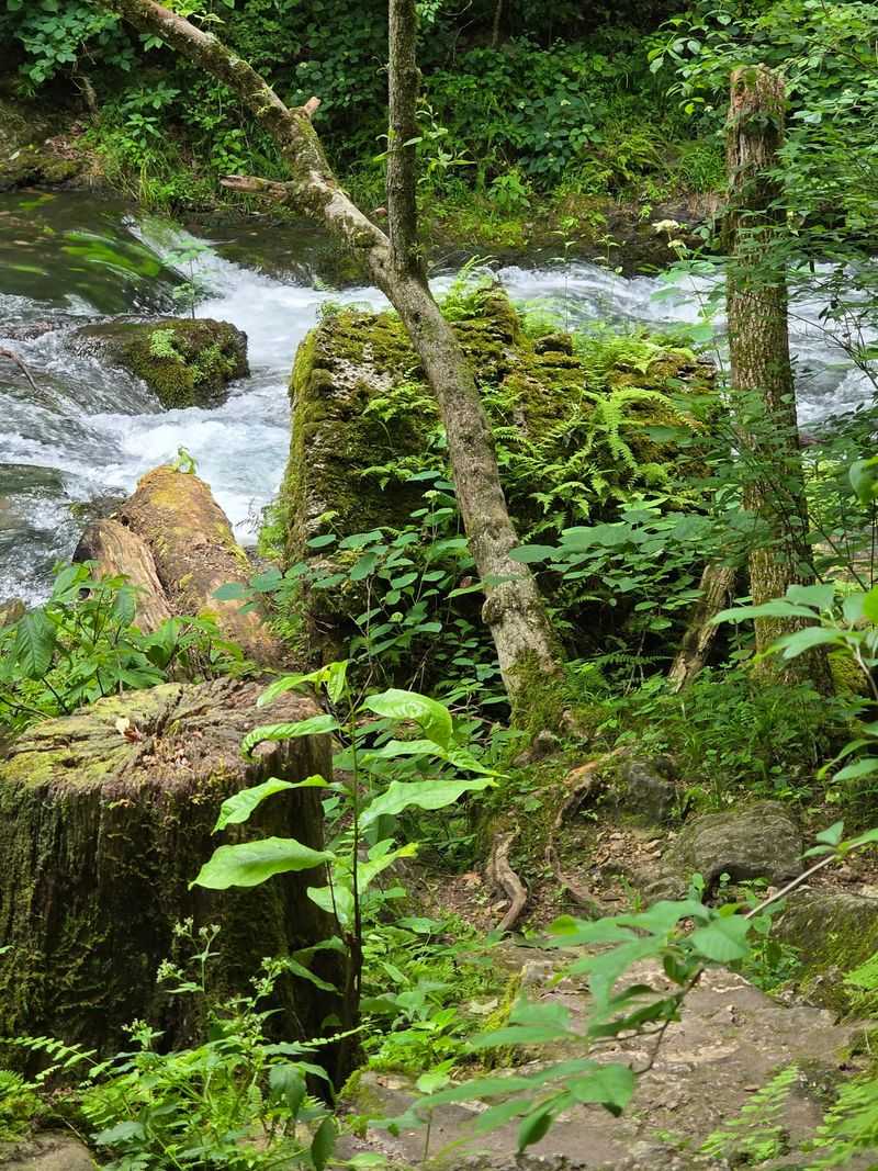
Ferns, mosses, and liverworts grow thick near the spring, giving the ravine a lush, almost storybook look. It’s greener down there than you might expect.
The trail itself passes through a surprising mix of trees. Oaks, hickory, maples, basswood, black gum, and flowering dogwood share space with pines.
Keep an eye out for sassafras, persimmon, hazelnut, cedar, and hackberry too. Tree fans could easily turn this short hike into a slow scavenger hunt.
From March through mid-June, wildflowers join the party. Jacob’s ladder, Virginia waterleaf, hepatica, and harbinger-of-spring all bloom here.
Jack-in-the-pulpit and yellow trout lily show up as well. Those names alone sound like characters from a woodland cartoon.
Interesting rock formations add even more texture to the scenery. Moss-covered stones line the banks, especially as you get closer to the water.
A small field guide or plant app could make the walk extra fun. Kids especially might enjoy checking off flowers as they spot them.
Bug spray is a smart call during warmer months. The woods are lively, and not every resident is as charming as a trout lily.
An Old Mill Story Hides Behind The Name
Captain Samuel Greer gave this spring its name. He built the first gristmill on the spring branch back in 1860.
That first mill didn’t survive the Civil War era. Later, a new roller mill went up between 1883 and 1899.
The builders came up with a clever setup for the second mill. They placed it on higher ground and sent power up from the spring using cables and pulleys.
Picture early engineers solving problems without modern machines. That system turned rushing water into working power far uphill.
The mill shut down around 1920 or 1922. Even so, the building still stands near Highway 19 today.
It was restored in 2016, which is great news for history lovers. Visitors can walk a short connecting trail from the Greer Spring trailhead parking area to view the Forest Service’s mill, though its interior opens only during special events.
This history adds a whole new layer to the hike. The spring wasn’t just pretty to early settlers, it was a powerful tool for the community.
Walking down to the water, it’s fun to think about that past. Grain once got ground thanks to the same flow you’re watching tumble over the rocks.
Watch This Branch Double An Entire River
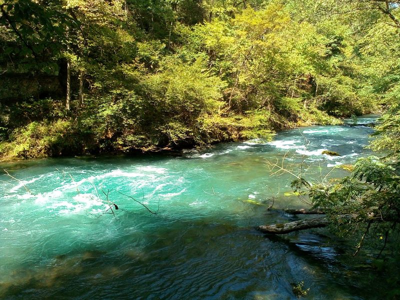
Few springs can claim they change a river. Greer Spring more than doubles the flow of the Eleven Point National Scenic River when the two meet.
Getting there takes some effort from the water. The spring branch drops about 62 to 65 feet over roughly 1.2 miles before joining the river.
That steep drop gives the branch real energy. It rushes and splashes rather than lazily drifting along.
The cold spring water also changes life downstream. Several miles of the Eleven Point become ideal habitat for trout because of it.
Anglers and paddlers in Missouri know the Eleven Point well. Now you know one big reason it stays so cool and clear.
Remember, the spring branch itself stays off-limits for floating and fishing. Save those plans for the river, where they’re allowed.
If you float the Eleven Point later, leave glass and polystyrene containers at home. Both are prohibited on the river.
The connection makes the hike feel bigger than one stop. You’re seeing the starting point of something that shapes a whole stretch of Ozark waterway.
Finding The Trailhead Takes A Sharp Eye
Blink on Highway 19, and you might cruise right past it. The trailhead sits on the west side of the road, so slow down as you get close.
The location is Greer Spring Trailhead, Missouri Highway 19, Alton, MO 65606. It’s about 8 miles north of Alton.
Another landmark helps too. The trailhead is roughly 1 mile south of the Highway 19 bridge over the Eleven Point River.
The whole area sits in Oregon County, in south-central Missouri. It falls within the Mark Twain National Forest.
Once you park, tall trees close in around you fast. It feels like the forest flips a switch the second you leave the car.
Restrooms are available at the trailhead parking area. That’s a welcome detail before a nearly two-mile round trip.
Drinking water is a different story. None is available at the spring, but you can find it at the nearby Greer Crossing Recreation Area.
Filling bottles before arriving saves hassle. A quick stop can keep the climb out from turning into a thirsty slog.
Bring The Dog, Leave The Tent, And Pick Your Season
Good news for pup parents. Dogs can join you on the Greer Spring Trail, as long as they stay on a leash.
A short leash helps near the bottom, where rocks get slick. Your four-legged buddy will probably love the smells, and the cool air won’t hurt either.
The area is open year-round for day use. You won’t need a permit, and no entrance fee is charged.
Camping and campfires aren’t allowed near the spring, though. Treat it as a day trip, then find overnight options elsewhere in the forest.
Each season brings its own perks. March through mid-June covers wildflower time, while late spring after rain brings the strongest flow.
Fall paints the hardwoods in warm colors. Summer has that natural air conditioning near the water, which feels like a gift on hot days.
Winter visits can work too, since the spring keeps flowing. Just watch for slick spots on the trail and dress in layers.
No matter when you go, pack out everything you bring. Keeping this place clean helps it stay one of the wildest, loveliest springs in Missouri.
