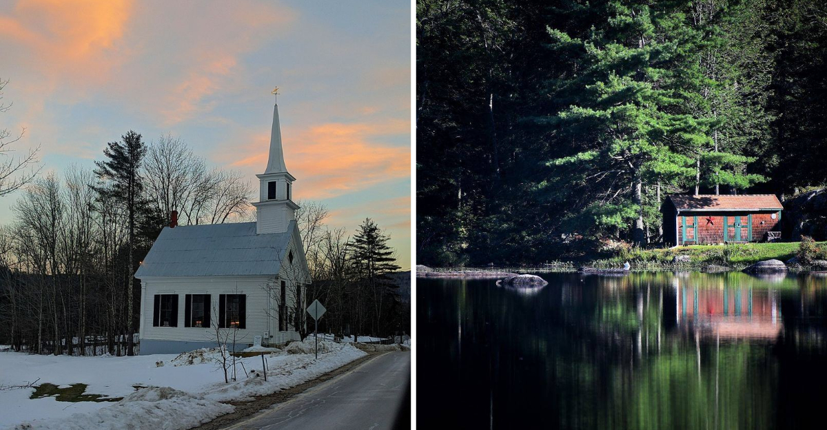
Frost-covered peaks of the White Mountains, quiet ponds where the only sound is a paddle cutting through still water, and gravel roads that most people never bother to explore.
That is what awaits in New Hampshire’s tiniest towns, places where the population barely fills a school gymnasium, yet the landscapes, history, and local spirit feel larger than life.
I found several of these communities by accident, and each one left a mark that no guidebook could have prepared me for.
One town had a general store that had been running for over a century, the shelves still stocked with the same goods, the same wooden floor creaking under my feet.
Another had a view so wide I could see three mountain ranges at once. Small does not mean ordinary here.
These towns carry stories, scenery, and a kind of quiet confidence that bigger places can only dream about. I drove away from each one already planning my return, knowing I had barely scratched the surface.
1. Hart’s Location
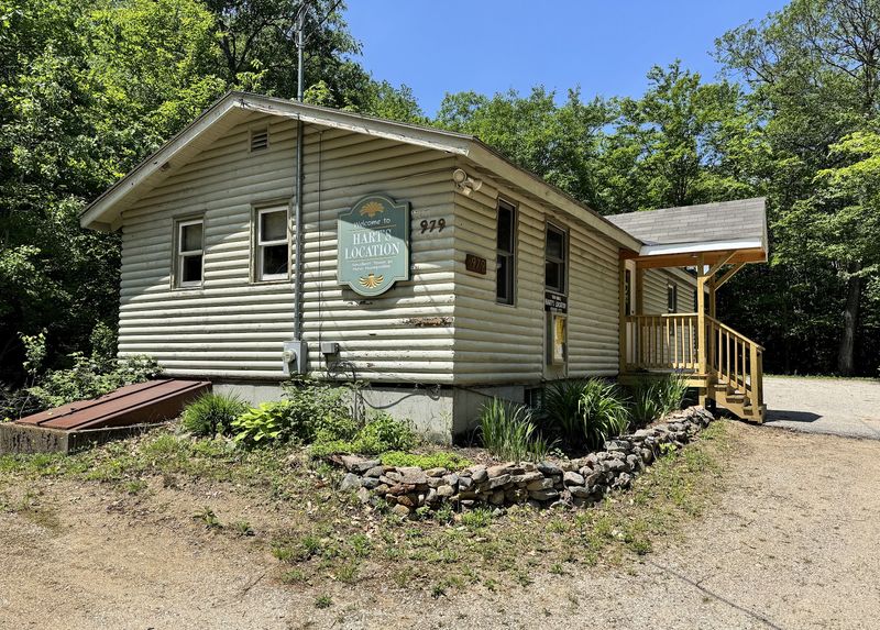
Few towns in America can claim a political tradition as wonderfully quirky as Hart’s Location, where residents have gathered at midnight to cast their presidential primary votes since 1948. The whole thing started to accommodate railroad workers who needed to be on the job before dawn.
With a population hovering around 70 people, it is technically one of the smallest voting precincts in the entire country.
Nestled inside Carroll County and surrounded by the rugged drama of the White Mountain National Forest, this place punches well above its weight in natural beauty. Crawford Notch State Park dominates much of the landscape, offering steep cliffs, forested ridges, and the kind of scenery that makes you pull the car over just to stare.
The Appalachian Trail cuts right through town, meaning serious hikers pass through regularly.
Arethusa Falls, the tallest waterfall in New Hampshire, is accessible from here and worth every step of the trail. In winter, ice climbers arrive to tackle the frozen cascades that form along the notch walls.
The 1826 Willey Family landslide, a tragic historical event, also took place in this area and remains part of the local story.
2. Ellsworth
Long before European settlers arrived, the Abenaki people called this land Kunnawah, meaning “bear,” and used it as a prime hunting ground.
That original connection to raw, untouched wilderness still feels present today in Ellsworth, a town of fewer than 100 residents that has somehow kept the modern world at a respectful distance.
About four-fifths of the town sits within the White Mountain National Forest, which means the trees, the trails, and the wildlife are the real residents here.
Ellsworth Pond is the kind of place that resets your nervous system in about ten minutes flat. Motorized boats are not allowed, so the only sounds you will hear are birdsong, wind through the pines, and the soft splash of a canoe paddle.
The pond reflects the surrounding ridgeline on calm mornings in a way that feels almost theatrical.
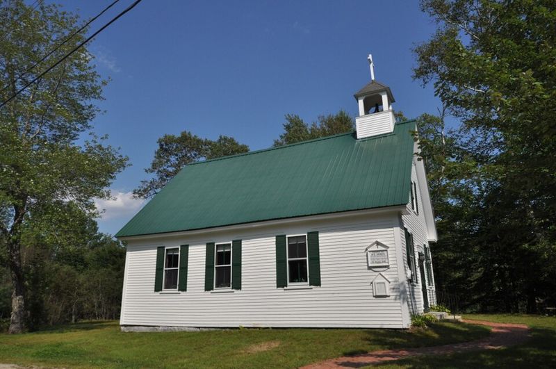
The town was formally established in 1802, and its small wooden houses and historic structures have aged gracefully rather than been replaced. The interdenominational St. John of the Mountains church holds seasonal Sunday services that feel genuinely timeless.
The Ellsworth Town Hall and School House, built in 1814, still stands as a quiet testament to how much character a tiny community can carry.
3. Errol
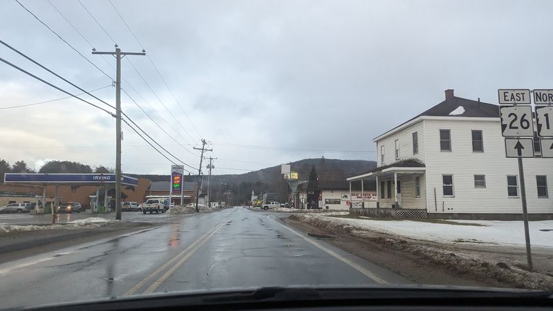
Errol sits at the crossroads of Route 16 and Route 26 in Coos County, north of the White Mountains, in a landscape so open and raw it feels like the edge of something. The town was first settled in 1806 and incorporated in 1836, named after James Hay, the 15th Earl of Erroll from Scotland.
That Scottish connection feels oddly fitting given the rugged, windswept quality of the surrounding terrain.
Umbagog Lake is the town’s crown jewel, and Errol encompasses a full half of it. The lake holds more inland water area than any other town in Coos County, which says a lot for a place with fewer than 300 people.
Snowmobilers descend here in winter in serious numbers, drawn by hundreds of miles of groomed trails that wind through the surrounding forests.
The Androscoggin River actually begins its long journey here, formed by the meeting of the Magalloway River and the outflow from Umbagog Lake. Historically, the dense forests made lumbering the backbone of the local economy, and that timber heritage is still woven into the town’s identity.
Errol is the kind of place where the outdoors is not an amenity but simply a way of life.
4. Dummer
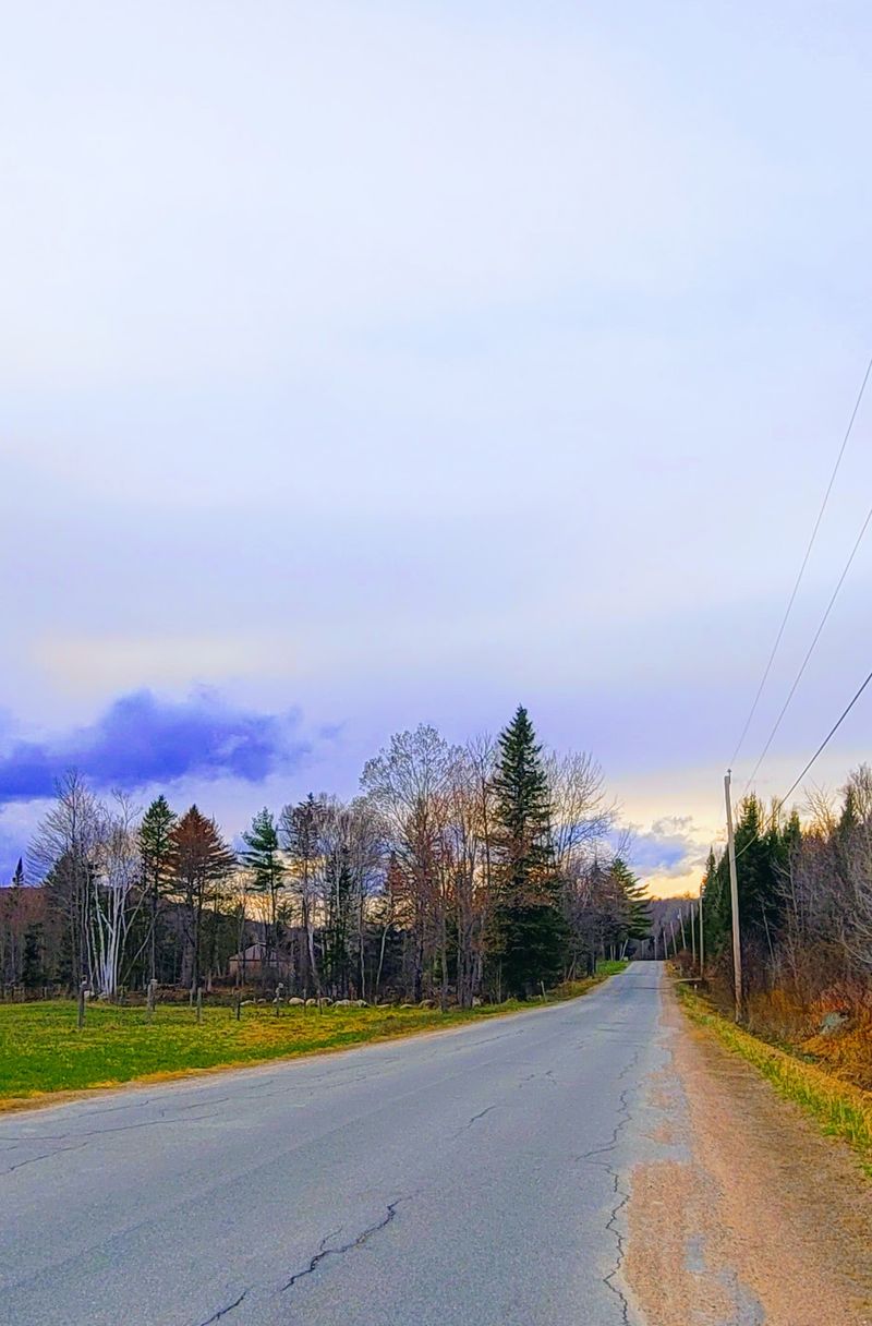
Dummer is one of those towns that rewards the traveler who is genuinely paying attention. Named after Massachusetts Governor William Dummer, it sits in Coos County with the kind of forested, mountainous terrain that makes every drive feel like a nature documentary.
The first settlers arrived in 1812, and the town has maintained a population of roughly 300 ever since, which tells you something about both its appeal and its pace.
The Pontook Reservoir is the heart of outdoor life here. Canoeists and kayakers love its calm stretches, and birdwatchers come specifically for the species that nest along its marshy edges.
The Pontook Dam was reconstructed in the mid-1980s to generate hydroelectric power, giving the reservoir a dual identity as both a recreational space and a working piece of infrastructure.
The small village of Paris lies within Dummer’s western bounds, adding a bit of geographic whimsy to an already distinctive place. The Upper Ammonoosuc River once powered mills throughout the area, and the remnants of that industrial past are layered into the landscape if you know where to look.
Extensive forests still cover most of the terrain, and the timber trade that once defined this community left behind a landscape that has since grown back beautifully.
5. Randolph
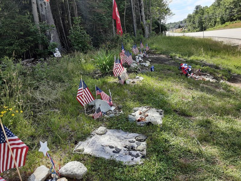
Randolph has earned its nickname “hiker central” through sheer dedication to the craft. The Randolph Mountain Club maintains an extraordinary network of 70 hiking trails covering 102 miles, complete with four shelters for those who want to stay out longer.
Mounts Madison and Adams rise dramatically above the town’s southern boundary, and on a clear day the views from those summits feel like a reward worth every ounce of effort.
The town sits on the northern edge of the Presidential Range, which puts it in genuinely elite mountain territory. Large sections fall within the White Mountain National Forest, and the Ice Gulch Town Forest adds another layer of wildness with its dramatic ravine packed full of massive boulders.
Cool summer temperatures at higher elevations made Randolph a beloved vacation destination long before air conditioning made heat manageable elsewhere.
The Randolph Foundation’s Durand Lake Recreation Area offers swimming, a clay tennis court, and shaded picnic areas without any use fees, which feels refreshingly generous. The town was named after John Randolph, a Virginian congressman and a direct descendant of Pocahontas.
With a population of about 327, Randolph is small in headcount but enormous in outdoor ambition and mountain character.
6. Chatham
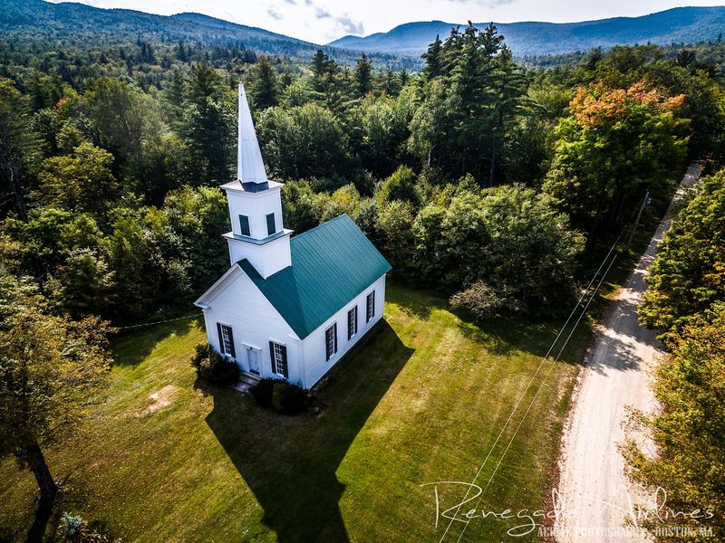
Chatham is the kind of town that outdoor adventurers find almost by accident and then keep returning to on purpose. Named in honor of William Pitt, the Earl of Chatham and former Prime Minister of England, the town carries a dignified historical name that contrasts beautifully with its wild, forested reality.
Before European settlement, the Pequawket Indians called this landscape home, and the land still has a quality of belonging to something older than roads and maps.
The vast majority of Chatham’s territory falls within the White Mountain National Forest, with only the southeastern corner sitting outside its boundaries. South Baldface Mountain claims the highest point in town and offers a summit experience that experienced hikers genuinely seek out.
Sable Mountain and Robbins Ridge add further texture to a landscape that never seems to run out of elevation.
Upper Kimball Pond and Basin Pond bring a quieter, more reflective side to the town’s outdoor offerings. Every drop of water in Chatham eventually finds its way into the Saco River watershed, connecting this remote community to a much larger natural system.
The Cold River national forest campgrounds provide a base for those who want to spend more than a single day exploring what this deeply forested corner of New Hampshire has to offer.
7. Shelburne
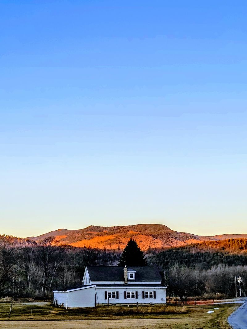
There is a grove of birch trees in Shelburne that stops people in their tracks, and not just because of how beautiful it looks in the afternoon light. The grove was planted as a living memorial to the town’s soldiers who served in World War II, which gives those white-barked trees a weight and meaning that most forests simply do not carry.
Artists and photographers have been drawn to this spot for decades, and it is easy to understand why.
Shelburne marks the northern end of the Mount Washington Valley, which makes it a natural transition point between the dramatic peaks to the south and the more open terrain of Coos County to the north. The Androscoggin River runs through the lower parts of town, where the land flattens enough to have once supported productive farmland.
Away from the river, the terrain climbs steeply into the mountains.
The Appalachian Trail passes through Shelburne, and the southern portion of the White Mountain National Forest extends into town, offering plenty of trail access for those who arrive with boots and ambition. The town was named after William Petty Fitzmaurice, the Earl of Shelburne, a British statesman who actually supported American independence.
With about 365 residents projected for 2026, Shelburne keeps its small-town soul firmly intact.
8. Eaton
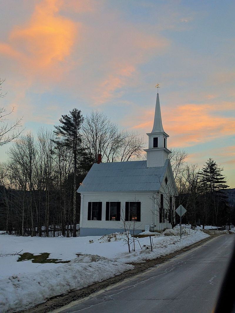
Eaton has a little white church that has become something of an unofficial symbol for everything this Carroll County town represents: simple, enduring, and genuinely lovely.
The village of Eaton Center clusters around Crystal Lake, which sits right at the heart of town and gives the entire community a postcard-ready backdrop in every season.
Conway Lake defines the northern boundary, creating a town that is essentially bookended by water.
The village of Snowville, tucked inside Eaton’s borders, got its name from the Snow family, who built a sawmill there in 1825 and sparked the kind of modest but meaningful local growth that shaped so many New Hampshire communities.
Waukeela, a summer camp for girls that has operated on Crystal Lake’s shores for over 90 years, adds a layer of tradition and seasonal energy that keeps the community connected across generations.
All of Eaton’s waterways flow into the broader Saco River watershed, linking this quiet town to a regional natural system that stretches well beyond its borders. The town itself was named for Governor Theophilus Eaton of Connecticut, a historical connection that most visitors would never guess just from looking at the peaceful landscape.
With a projected population of around 430 by 2026, Eaton is one of the slightly larger entries on this list, but it still feels completely unhurried.
9. Orange
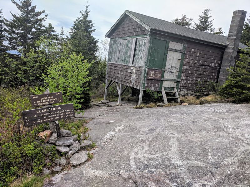
Mount Cardigan is the reason most people find Orange, and once you reach its bare granite summit at 3,155 feet, you understand immediately why this mountain has such a devoted following.
The treeless top offers panoramic views that sweep across west-central New Hampshire, reaching all the way to Mount Monadnock in one direction and the White Mountains in another.
Mount Cardigan State Park, located within Orange, manages the trails and picnic areas that make this an accessible but genuinely rewarding destination.
The town’s name has a vivid origin story. Originally chartered as “Cardigan,” the community was renamed Orange after the abundant yellow-orange ochre deposits found right on the mountain itself.
That kind of direct, practical naming logic feels very New Hampshire. The town was incorporated in 1790, making it one of the older communities in Grafton County.
Water on the western slopes of Mount Cardigan drains into the Connecticut River watershed, which is a reminder of how even a small summit can sit at a meaningful geographic divide. Orange has a population of fewer than 300 people, and the town has no real commercial center to speak of.
What it does have is one of the most satisfying hikes in the region, and that turns out to be more than enough.
10. Windsor
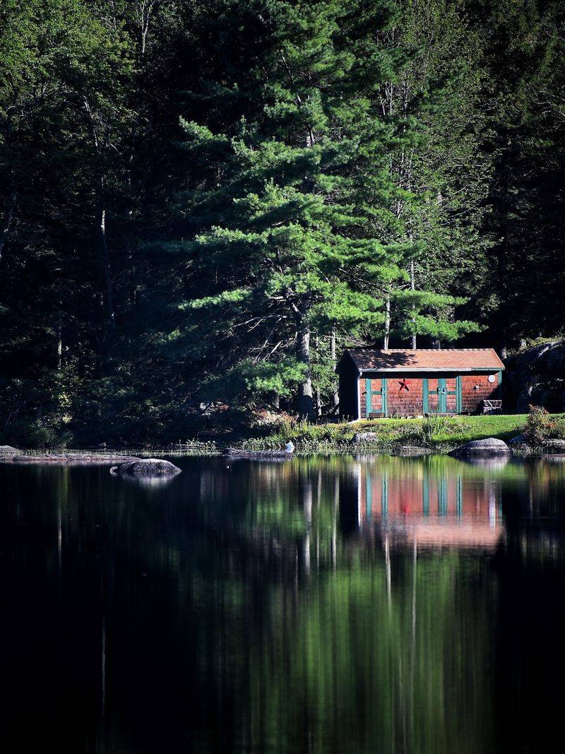
Windsor holds the distinction of being the smallest town in New Hampshire south of the White Mountains, which is a geographical title that sounds modest until you realize how much character is packed into those rolling Hillsborough County hills.
The town is quiet in the way that only genuinely rural places can be, where the absence of noise is itself a kind of presence.
Windsor Mountain, the high point at 1,604 feet, gives the town its most prominent natural feature.
The area was originally known as “Campbell’s Gore,” a name that hints at the rough-edged surveying history of early New England land grants. It was eventually renamed Windsor, likely after Windsor, Connecticut, and the new name stuck in a way the old one never really could.
The town has always had a youthful energy running through it, partly because Windsor Mountain International, a summer adventure and travel camp established in 1961, has been bringing young people here for decades.
Wediko Children’s Services Summer Program and Windsor Hills Camp and Retreat Center also operate within the town, giving Windsor an identity as a place centered on growth and outdoor experience.
With a projected population of 283 by 2026, it remains genuinely tiny.
But the camps bring a seasonal vitality that makes the town feel much larger than its year-round numbers suggest.
11. Benton
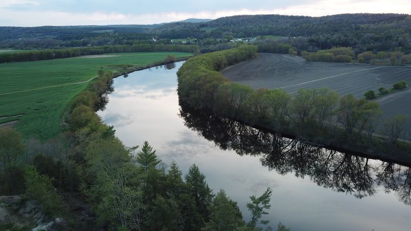
Mount Moosilauke towers over Benton at 4,802 feet, making it one of the most formidable peaks in Grafton County and a landmark that serious Appalachian Trail hikers know well. The mountain once hosted the Prospect House, later called the Tip Top House, a hotel for hikers that opened in 1860 and even had a carriage road leading to the summit by 1870.
The hotel burned down in 1942, but its story adds a layer of history to a mountain that already commands enormous respect.
The Appalachian Trail winds through Benton, pulling long-distance hikers through a landscape that is largely protected within the White Mountain National Forest. The terrain is mountainous and rugged, shaped by the same glacial forces that carved the rest of the White Mountains into their dramatic current form.
Historically, the abundant forests supported a thriving lumber industry that defined the local economy for generations.
The town was originally named Coventry before being renamed Benton in honor of Thomas Hart Benton, a Missouri senator celebrated for championing westward expansion.
Oliverian Pond Boat Launch offers a calmer, water-level perspective on a town that is mostly experienced from steep trails and high ridges.
With a 2020 census population of 374, Benton is small, remote, and completely unapologetic about both.
