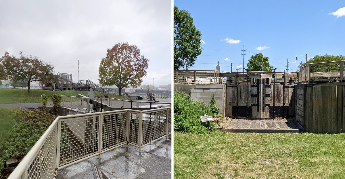
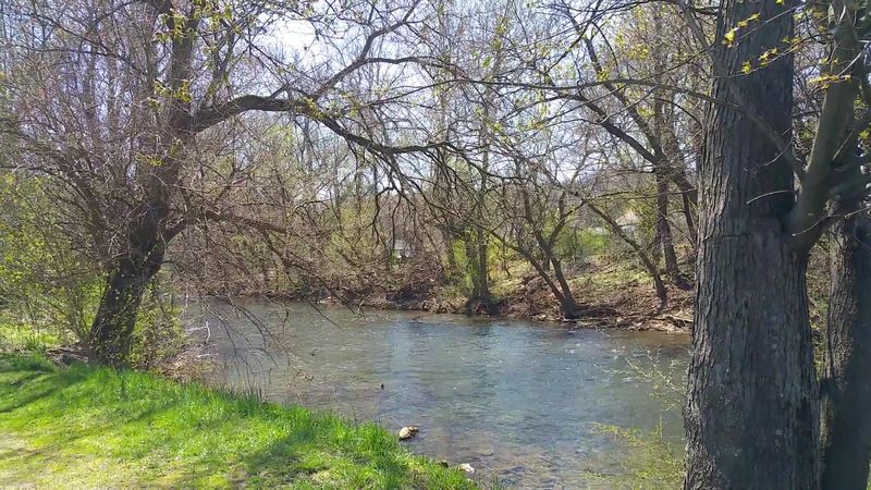
A playground shaped like a canal boat sits on top of a vanished harbor, and a creek murmurs along the edge.
Two hundred years ago, canal boats docked here every twenty minutes, loaded with wheat, iron, livestock, and travelers heading over the Allegheny Mountains.
Then the railroad arrived, the boats stopped coming, and the whole basin was drained and filled in with cinders like it never existed.
In Pennsylvania, that buried history sits under a small-town park where kids fly down tube slides and nobody thinks twice about what lies beneath.
The outlines of the old wharves and locks are still there, marked by signs and stone remnants. The playground equipment pays tribute to the boats that once crowded the water.
An afternoon spent piecing the story together is an afternoon well spent.
A quiet town with a playground hides an entire chapter of transportation history, and it sticks with you longer than expected.
A Village of 76 People That Became a Seaport Without an Ocean
Hard to picture now, but in 1827 Hollidaysburg counted roughly 76 residents. That is not a typo.
Seventy-six people tucked into the rugged foothills of the Alleghenies, with mountains blocking easy travel in nearly every direction.
Then the Pennsylvania Main Line Canal arrived, and everything flipped. Within about five years the village had become a working inland port, and within ten years the population climbed past 3,000.
I find that kind of growth genuinely wild to think about while standing on grass where warehouses once stood. No harbor, no coastline, no sea breeze, yet boats tied up here daily and cargo moved through toward Philadelphia and Pittsburgh.
The interpretive signs around the park lay out the timeline in plain language, which I appreciated. Reading them in order helps the scale sink in better than any single photo could.
What struck me most was how quickly a place can be reinvented when transportation changes. A geography that once isolated Hollidaysburg suddenly made it essential, because this was where the water route ended and the mountain crossing began.
Bring a little patience for the signs. They reward slow reading.
Three Connected Basins, Two Miles Long, All Hand Dug
Numbers do a lot of the heavy lifting at this site. The main basin measured six feet deep, 120 feet wide, and stretched about two miles.
It was one of three interconnected basins making up the complex.
Walking the perimeter path, I kept trying to mentally flood the field back to water level. It takes effort.
The ground looks like any pleasant municipal lawn until you remember it was once a harbor floor.
Around the water sat boat slips, docks, big warehouses, freight forwarding houses, and lodging for boatmen and travelers passing through. Basically a small working waterfront economy compressed into a mountain valley.
At its busiest, a canal boat reportedly arrived every 20 minutes. That rhythm ran for roughly two decades, moving corn, wheat, iron, textiles, livestock and thousands of people.
My practical tip: start at the far end of the loop trail rather than the playground side. You get the layout in your head first, then the play area feels like a bonus instead of a distraction.
The scale is the real attraction here, and it hides in plain sight.
Where Boats Climbed Mountains on Railcars
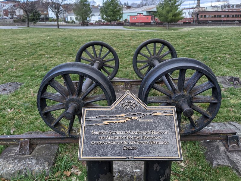
Here is the detail that made me stop and reread the sign twice. Hollidaysburg was the eastern terminus of the Allegheny Portage Railroad, a 36-mile system that carried canal boats over the Allegheny Mountains to Johnstown.
Not around the mountains. Over them.
Sectional canal boats were loaded onto railcars and hauled up a series of inclined planes using stationary steam engines and cables. Once across, they slid back into water and kept going west.
Combined, the canal and portage railroad created a continuous 400-mile route linking Philadelphia and Pittsburgh, and the trip could be done in as little as four days. For the 1830s, that was a staggering improvement.
I stood near the eastern end thinking about the noise of it all. Chains, steam, shouting, wet timber, iron wheels on rail.
If the engineering side interests you, the Allegheny Portage Railroad National Historic Site sits nearby and fills in the mechanical details the park can only summarize. Pairing the two in one day gives you both halves of the story, water and mountain, and the connection makes far more sense that way.
Charles Dickens Passed Through Here in 1842
Famous visitors usually get overplayed at historic sites, but this one earns a mention. English author Charles Dickens traveled this route in 1842, during the years when the basin was humming.
He was one of thousands of passengers who moved through, though certainly the most quotable.
Picturing him among farmers, freight handlers and families waiting for a boat gives the place a human texture that statistics cannot. Travel back then meant sharing tight cabins, waiting on schedules that bent to weather, and sleeping wherever the boat stopped.
I liked imagining the ordinary travelers more, honestly. Someone hauling a crate of textiles.
A family heading west with everything they owned stacked on deck.
The park does a nice job keeping that everyday side of the story visible instead of leaning only on celebrity connections. Displays mention the cargo, the workers, and the accommodations built for boatmen who lived their lives between ports.
If you visit with older kids, this is the angle that tends to catch their attention. A world-famous writer once sat in a boat roughly where the swing set now stands, which is a fun thing to say out loud.
The Railroad Arrived and the Water Route Lost Its Job
Progress can be brutal to the thing that came before it. By February 1854 the Pennsylvania Railroad finished an all-rail line from Philadelphia to Pittsburgh, including the famous Horseshoe Curve just up the valley.
Suddenly nobody needed inclined planes, boat transfers, or cable-hauled cargo.
Business drained away from the state’s Public Works system fast. The Pennsylvania Canal was bought by the Pennsylvania Railroad in 1857, and the Allegheny Portage Railroad was dismantled shortly afterward.
Boat traffic at Hollidaysburg thinned but did not vanish overnight. The basin kept limited operations going until around 1875, mostly serving nearby farmers and manufacturers who still found it useful.
Flooding sealed the outcome. Repeated damage to canal infrastructure made repairs financially pointless, and sections near town were abandoned rather than rebuilt.
What I find quietly fascinating is how fast a marvel became a relic. Twenty years of glory, then a slow fade, then nothing.
You can see the successor right from the park. Active rail lines run along one edge, and when a train rolls past, the irony practically announces itself.
The thing that ended this port is still working.
Drained, Filled With Cinders, and Later Used as a Junkyard
Abandonment was only the beginning. After the port closed, the water was drained out and the enormous basin was filled in with cinders, most likely waste from the iron furnaces operating around the area.
An entire harbor, erased with industrial leftovers.
Part of the old basin later served as a junkyard for a utility company, collecting creosote-soaked poles. That detail always makes me wince a little.
One of Pennsylvania’s busiest inland ports ended up as a storage lot for discarded timber.
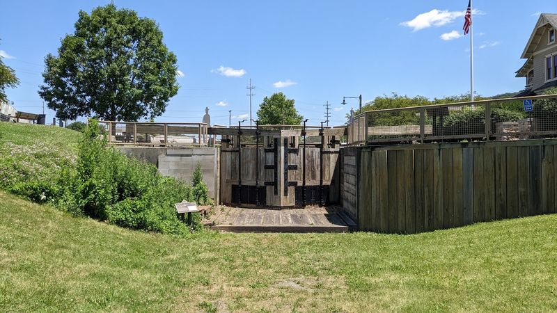
Then came 1996, when archaeological excavations turned up something better than expected. Intact pieces of the original infrastructure were still down there, including a section of stone wall from guard lock number 38, buried and preserved under fill.
Finding that changed the site’s future. Proof of the original engineering gave the restoration effort something real to build around instead of guesswork.
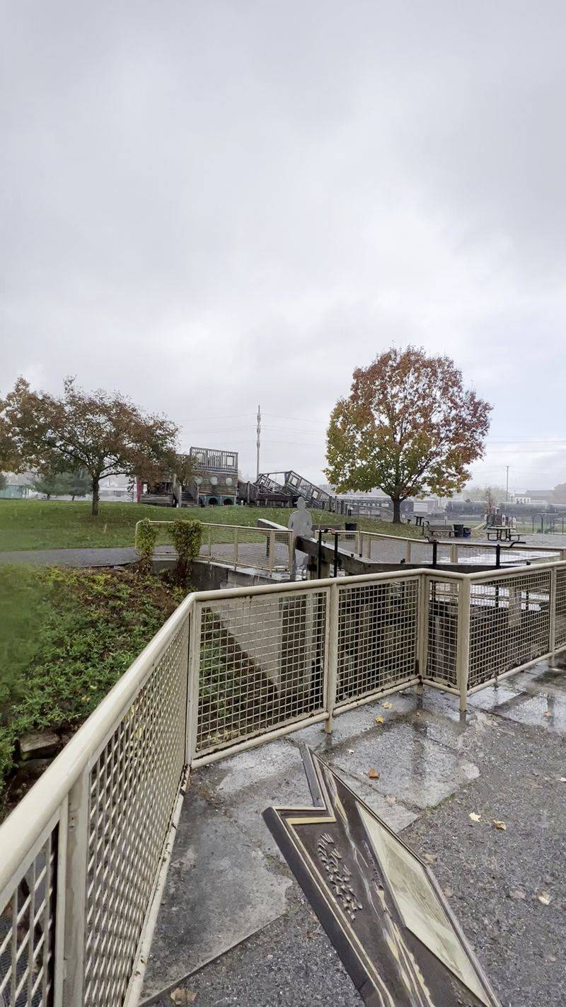
When you visit, look for the interpretation about the lock and the replica lock mechanisms on display. Understanding that actual cut stone survived beneath cinders and junk makes the park feel less like a memorial and more like a rescue.
History buried is not always history lost.
Canal Basin Park Today, Slides, Trails and a Victorian Visitor Center
Opened in April 2002, the park turned all that buried history into something a town can actually use. And it works.
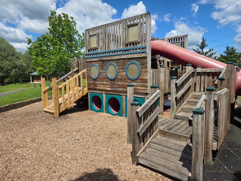
Kids swarm a playground built to resemble a sectional canal boat, complete with tube slides that visitors of every age seem unable to resist.
Accessibility got real attention here, including swings designed for wheelchair users and paved, level paths around the grounds.
A roughly one-mile loop circles the perimeter, good for walking, jogging or an easy bike ride, and it ties into the Main Line Canal Greenway running between Pittsburgh and Harrisburg. Creek on one side, rail yard on the other, history underfoot.
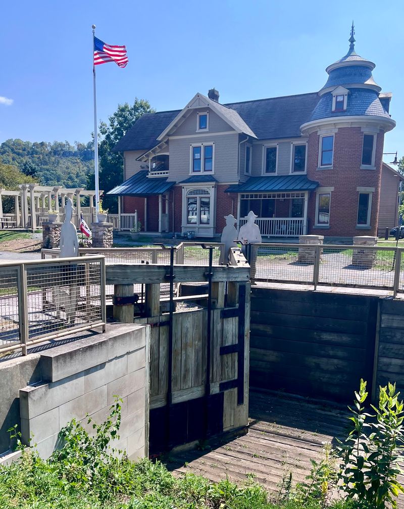
There is an amphitheater that hosts summer concerts, picnic tables, restrooms, and educational exhibits scattered along the trail. The Reiser House Visitor Center, set in a renovated Victorian home beside the park, holds displays about the Pennsylvania Canal.
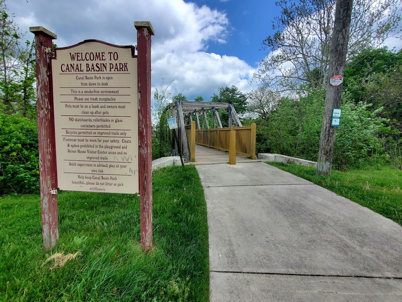
Practical note from experience: parking sits across the bridge, and mapping apps sometimes route you to a cramped business entrance instead. Head for the actual lot and save yourself the shuffle.
Autumn here is especially pretty, and downtown Hollidaysburg is a short walk away.
Address: 101 Canal St, Hollidaysburg, PA 16648
