Indiana’s countryside hides some of the most beautiful scenic drives that tourists rarely discover.
These winding roads take you through rolling hills, covered bridges, charming small towns, and landscapes that change with every season.
Local residents have long cherished these routes as peaceful escapes from busy city life and crowded highways.
Whether you’re looking for autumn foliage, spring wildflowers, or just a relaxing afternoon drive, these hidden gems offer something special.
Grab your camera, fill up your gas tank, and prepare to explore roads that feel like they belong in a different era.
Each route provides unique views and experiences that showcase Indiana’s natural beauty at its finest.
You’ll find yourself stopping frequently to take photos, explore historic sites, and enjoy the slower pace of rural life.
Covered Bridge Scenic Byway through Parke County
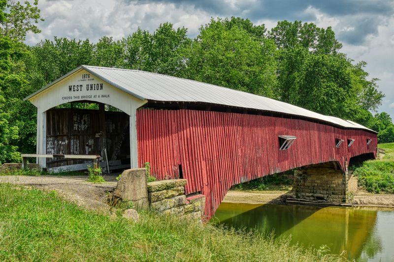
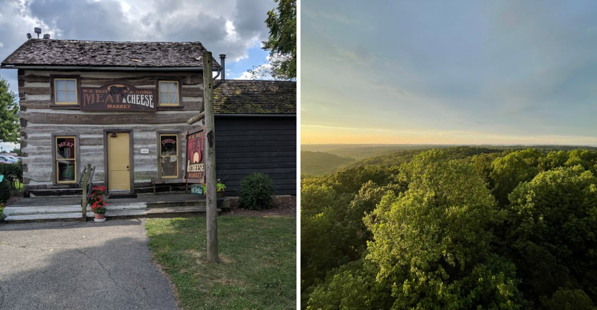
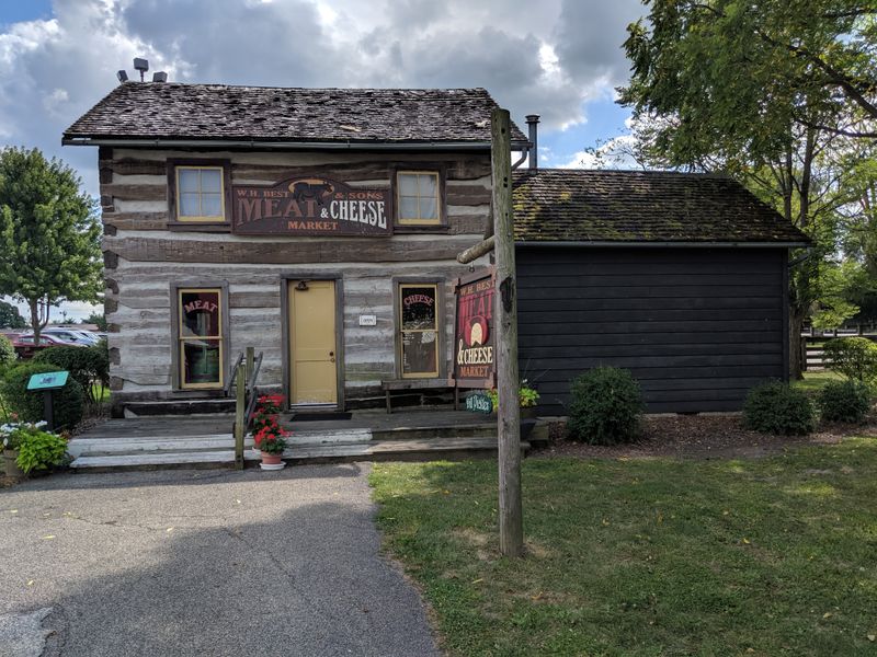
Parke County earned its nickname as the Covered Bridge Capital of the World with 31 historic covered bridges scattered across its peaceful countryside.
This drive takes you through winding back roads where red barns dot the landscape and horses graze in pastures that seem frozen in time.
The route connects several of these iconic wooden structures, each with its own story and character waiting to be discovered.
Starting in Rockville, you can pick up a free map at the Parke County Covered Bridge Festival office located at 127 East Ohio Street.
The drive works best when you allow a full day to explore without rushing between stops.
Most visitors prefer October when the festival brings extra activities, but spring and summer offer equally stunning views without the crowds.
Bridgeton Mill, located at 12 Bridgeton Road in Bridgeton, serves as a perfect lunch stop with its working gristmill and charming general store.
The mill still grinds cornmeal using waterpower just as it did in 1823.
You can watch the massive wooden gears turn while enjoying homemade ice cream on the covered porch.
Photography enthusiasts should arrive early morning when mist rises from the creeks and soft light filters through the bridge openings.
Each bridge has a small parking area where you can safely pull off to take pictures.
The Narrows Covered Bridge and Sim Smith Bridge rank among the most photogenic with their reflections in calm water below.
Plan your route to include the smaller gravel roads that connect the bridges rather than sticking to main highways.
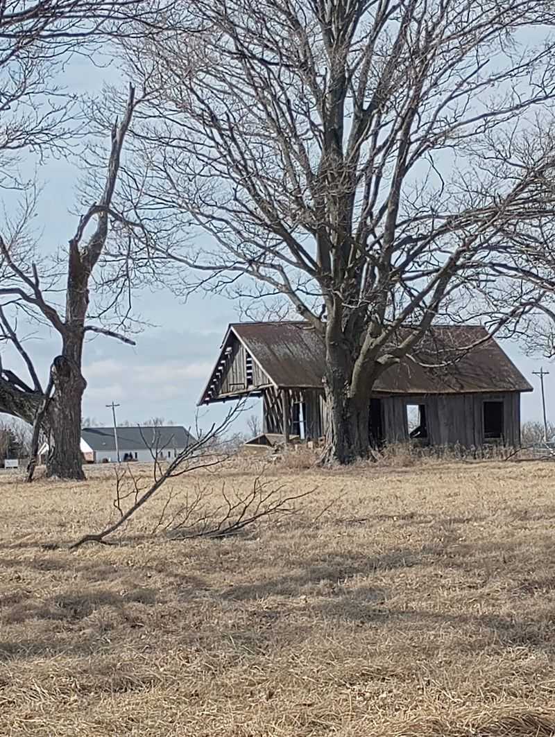
These quieter paths reveal century-old farmhouses, one-room schoolhouses, and occasional Amish buggies that complete the timeless atmosphere of this remarkable drive.
State Road 46 from Bloomington to Nashville
Winding through Brown County’s famous hills, State Road 46 offers one of the most dramatic landscape changes you’ll find in southern Indiana.
This route climbs and descends through dense forests that explode with color each autumn, creating a tunnel effect as tree branches arch overhead.
Local artists have long drawn inspiration from these same views that now attract photographers from across the Midwest.
The 25-mile stretch between Bloomington and Nashville takes about 40 minutes without stops, but you should budget at least two hours to fully appreciate what this drive offers.
Pull-offs appear frequently along the route, giving you chances to stop and soak in panoramic views of forested valleys below.
Spring brings wildflowers and dogwood blooms, while winter reveals the bones of the landscape in stark beauty.
Brown County State Park, accessible from the highway at 1405 State Road 46 East in Nashville, deserves an extended visit with its 16,000 acres of hiking trails and scenic overlooks.
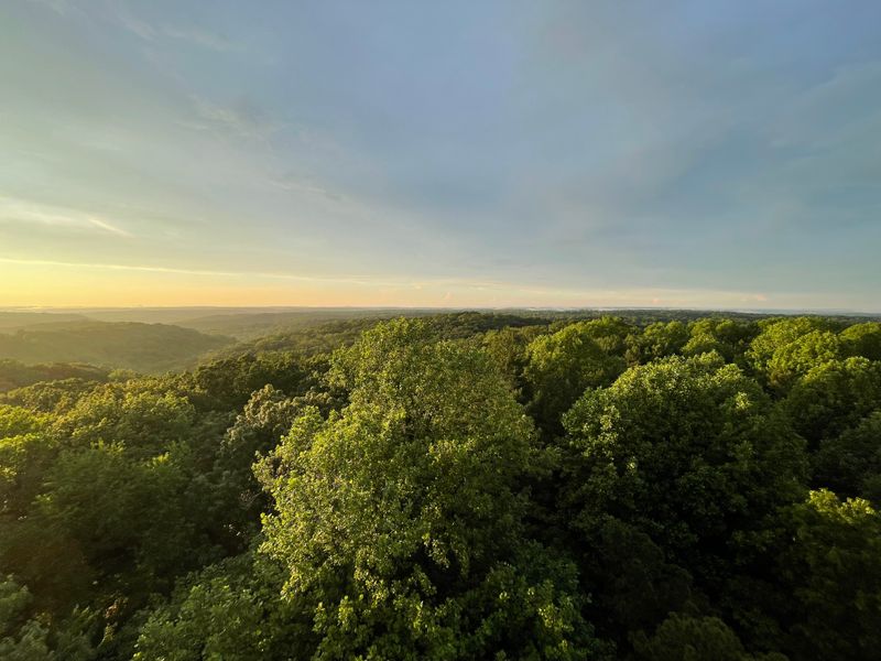
The park’s North Lookout Tower provides 360-degree views that stretch for miles across the surrounding hills.
Many locals pack a picnic to enjoy at one of the shelters scattered throughout the park.
Nashville itself has transformed into an artist colony filled with galleries, craft shops, and restaurants worth exploring.
The town gets packed during peak fall season, so weekday visits offer a more relaxed experience.
Story Inn, located further east at 6404 South State Road 135 in Story, provides an atmospheric lunch stop in a tiny village that time forgot.
Watch for deer crossing the road, especially during dawn and dusk hours when they’re most active.
The curves require attention, but that slower pace actually enhances the experience and helps you notice details you’d otherwise miss at highway speeds.
Ohio River Scenic Route along State Road 56
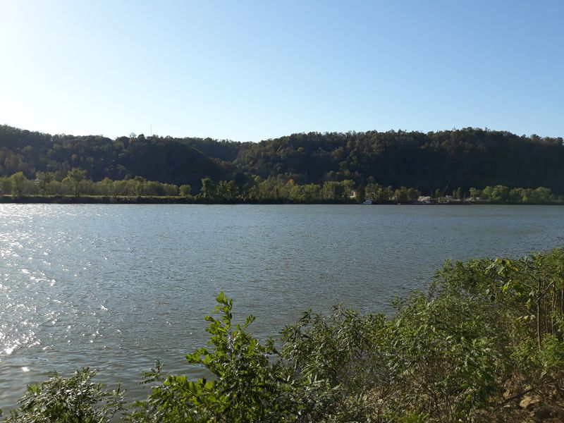
Following the curves of the Ohio River through southeastern Indiana, State Road 56 provides constant river views and access to historic river towns that once thrived on steamboat commerce.
Limestone bluffs rise dramatically on one side while the wide river flows peacefully on the other, creating scenery that feels more like Kentucky or Tennessee than typical Indiana landscapes.
This drive captures the spirit of river life that defined early American settlement.
Beginning in Madison, you can explore one of America’s best-preserved 19th-century towns before heading east along the river.
The route passes through Hanover, home to Hanover College perched high on bluffs overlooking the river at 517 Ball Drive.
Stop at the scenic overlooks on campus for breathtaking views that inspired generations of students and visitors alike.
Clifty Falls State Park at 1501 Green Road in Madison offers hiking trails leading to waterfalls and canyon views just minutes from the main route.
The park’s trails range from easy riverside walks to challenging climbs that reward hikers with spectacular vistas.
Spring runoff makes the waterfalls most impressive, though the park remains beautiful year-round with changing seasonal colors.
Small river towns like Vevay and Rising Sun dot the route with antique shops, riverside parks, and local restaurants serving traditional Midwestern comfort food.
The Casino Aztar in Rising Sun at 777 Casino Drive brings unexpected entertainment options to this otherwise quiet rural area.
You can watch massive barges push their loads up and down the river from several public access points along the way.
Sunset drives along this route create magical moments as golden light reflects off the water and illuminates the Indiana shoreline.
The entire stretch from Madison to the Ohio state line covers about 40 miles but deserves most of a day when you factor in stops and exploration time.
The Amish Country Loop through Northern Indiana
Northern Indiana’s Amish communities maintain a way of life that transports visitors back to simpler times when horse-drawn buggies outnumbered cars on country roads.
This self-guided loop through Elkhart and LaGrange counties reveals working farms, roadside produce stands, and craftsmen creating furniture and quilts using traditional methods passed down through generations.
Respectful visitors gain insight into a culture that values community, hard work, and separation from modern conveniences.
Shipshewana serves as the hub for this drive, with its famous flea market and auction drawing crowds every Tuesday and Wednesday from May through September.
The Menno-Hof Mennonite-Amish Visitors Center at 510 South Van Buren Street in Shipshewana provides excellent context for understanding Amish beliefs and lifestyle before you explore the countryside.
Interactive exhibits explain their history, faith, and reasons for choosing this distinctive way of life.
County Road 250 North between Shipshewana and Middlebury takes you past pristine white farmhouses, massive red barns, and fields cultivated without modern tractors.
You’ll share the road with buggies, so maintain safe following distances and pass carefully when permitted.
Wave to families you encounter, as most Amish people appreciate friendly gestures from respectful visitors who honor their privacy.
Yoder’s Department Store at 115 West Main Street in Shipshewana stocks everything from bulk foods to farming supplies, offering a glimpse into daily Amish shopping habits.
The Blue Gate Restaurant and Bakery at 195 North Van Buren Street serves family-style meals featuring traditional recipes and homemade pies that locals rave about.
Many small shops along the route sell handcrafted furniture, quilts, and baked goods directly from Amish homes and workshops.
Plan this drive for weekdays when you’re more likely to see Amish farmers working their fields and children walking home from their one-room schoolhouses.
Avoid taking photos of Amish people, as their beliefs prohibit graven images, but feel free to photograph the beautiful landscapes and architecture that define this unique region.
Hoosier National Forest Scenic Byway
Stretching through southern Indiana’s most rugged terrain, the Hoosier National Forest Scenic Byway reveals landscapes that surprise people who think Indiana is entirely flat farmland.
State Road 446 winds through 200,000 acres of protected forest land where hardwoods create a canopy that changes dramatically with each passing season.
This drive feels remote and wild despite being less than an hour from Bloomington.
The byway begins near Belmont and runs south through the forest, passing Lake Monroe, Indiana’s largest reservoir, which offers numerous recreational opportunities.
Hardin Ridge Recreation Area at 6464 Hardin Ridge Road provides beach access, camping facilities, and hiking trails that explore the lake’s heavily forested shoreline.
Boaters and anglers frequent these waters year-round, taking advantage of excellent fishing for bass, crappie, and catfish.
Continuing south, the road passes through areas where limestone was once quarried to build many of America’s most famous buildings.
Abandoned quarries now filled with crystal-clear water create swimming holes that locals guard as secret summer retreats.
The forest service maintains several scenic overlooks where you can stop to appreciate the rolling hills stretching to the horizon in every direction.
Hickory Ridge Fire Tower, when open, offers the best aerial perspective of the forest’s vastness from its observation platform.
The tower sits along Tower Ridge Road, accessible via a short detour from the main byway.
Rangers sometimes staff the tower during high fire danger periods, providing information about forest management and wildlife.
Wildlife viewing opportunities abound along this route, with white-tailed deer, wild turkey, and various songbirds commonly spotted from your vehicle.
Early morning and evening drives increase your chances of seeing animals when they’re most active.
The forest changes character between its northern and southern sections, with drier ridgetops supporting different plant communities than the moist valleys below.
Pack a lunch to enjoy at one of the many picnic areas maintained by the forest service throughout the byway.
Cell phone service can be spotty in the deeper forest sections, so download maps before you start this approximately 50-mile journey through Indiana’s wildest public lands.
Wabash River Road from Lafayette to Attica
Running parallel to Indiana’s longest river, this lesser-known route follows county roads that hug the Wabash River’s eastern bank through agricultural bottomlands and river bluffs.
County Road 375 South and connecting roads create a patchwork drive that requires some navigation skills but rewards explorers with peaceful river views and a sense of discovery.
This area played a crucial role in Indiana’s early settlement and transportation history.
Starting in Lafayette, you can visit the Tippecanoe Battlefield Museum at 200 Battleground Avenue to learn about the 1811 conflict that helped establish American control over the region.
The battlefield park offers walking trails through the historic site where William Henry Harrison’s forces fought Tecumseh’s confederation.
Understanding this history adds depth to your drive through lands that Native Americans and early settlers both valued for their natural resources.
The river road passes through tiny communities like Montmorenci and Williamsport, where time seems to have slowed considerably since their peak river trading days.
Williamsport Falls, located in town at the Wabash and Erie Canal Park, creates a small but scenic cascade where water flows over exposed bedrock.
The canal interpretive center at 200 Water Street explains how this engineering marvel once connected Lake Erie to the Ohio River.
Fall Creek Gorge Nature Preserve, accessible via a short detour, protects a dramatic canyon where Fall Creek carved through limestone bedrock before joining the Wabash.
The preserve offers hiking trails that descend into the gorge, revealing rock formations, small waterfalls, and diverse plant communities.
This geological wonder demonstrates the erosive power of water over thousands of years.
Attica marks the southern end of this drive, a small town with several antique stores and cafes serving home-cooked meals.
The drive back to Lafayette via State Road 28 completes a loop that showcases both the river valley and the higher agricultural lands away from the water.
Total loop distance runs about 60 miles, perfect for a half-day adventure that most Indiana residents have never experienced.
The Dunes Highway from Michigan City to Gary
Old Highway 12, known locally as Dunes Highway, predates the modern interstate and offers glimpses of Lake Michigan through gaps in lakefront development.
This historic route passes through communities that grew up around the steel industry and summer resort culture that defined northwest Indiana’s character.
Sand dunes rise unexpectedly just blocks from industrial areas, creating one of Indiana’s most unusual landscape contrasts.
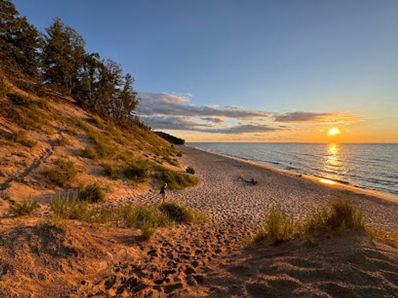
Indiana Dunes National Park protects 15 miles of Lake Michigan shoreline along this route, with multiple access points offering different experiences.
West Beach at 376 North County Line Road in Gary provides easy beach access, hiking trails through dunes and wetlands, and the chance to climb Mount Baldy, a living dune that moves inland about four feet annually.
The visitor center at 1215 North State Road 49 in Porter offers maps, ranger programs, and exhibits explaining the area’s unique ecology.
The highway passes through Beverly Shores, a quirky community where the Century of Progress homes transported from Chicago’s 1933 World’s Fair still stand as private residences.
These architectural oddities represent different visions of futuristic housing from that era, now looking charmingly dated amid the surrounding dune landscape.
You can view several from the road, though they remain private property.
Miller Beach, a neighborhood within Gary’s city limits, maintains a small-town beach community vibe despite its urban address.
The Miller Beach Arts and Creative District along Lake Street features galleries, cafes, and shops that draw visitors year-round.
Marquette Park Beach at 6918 Oak Avenue offers one of the best swimming beaches with lifeguards, bathhouses, and the historic Aquatorium building.
Spring and fall migrations bring thousands of birds through this area, making it a premier birdwatching destination.
The Paul H. Douglas Center for Environmental Education at 100 North Lake Street in Gary provides programs about the area’s ecology and conservation challenges.
This drive works best when combined with time to actually explore the beaches, trails, and natural areas rather than just viewing them from your car window.
Dear Reader: This page may contain affiliate links which may earn a commission if you click through and make a purchase. Our independent journalism is not influenced by any advertiser or commercial initiative unless it is clearly marked as sponsored content. As travel products change, please be sure to reconfirm all details and stay up to date with current events to ensure a safe and successful trip.