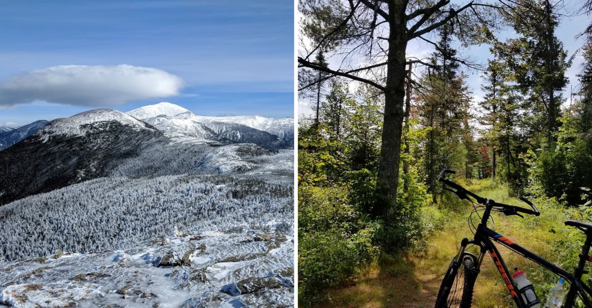
That ghost town in New Hampshire hummed with the sounds of sawmills, schoolchildren, and everyday life once. Today it sits quietly beneath a canopy of forest, its foundations swallowed by moss and memory.
I first heard about this place and could not believe somewhere so full of history had almost disappeared from the map entirely. Old railroad tracks twist near the riverbank, a cast-iron safe still sits in the ruins of a store, and apple trees grow wild along the road where families once walked.
I walked through the ruins on a cool afternoon, the only sound the wind moving through the trees, and felt the weight of all the lives that had passed through there. There is something deeply moving about a place like this, where the past refuses to fully fade.
It is not a town anymore. It is a quiet reminder of what happens when time moves on and leaves a place behind.
For anyone curious about ghost towns hidden in plain sight, this is one of the most quietly remarkable spots in the state.
The Origins of a Logging Town Built From Scratch
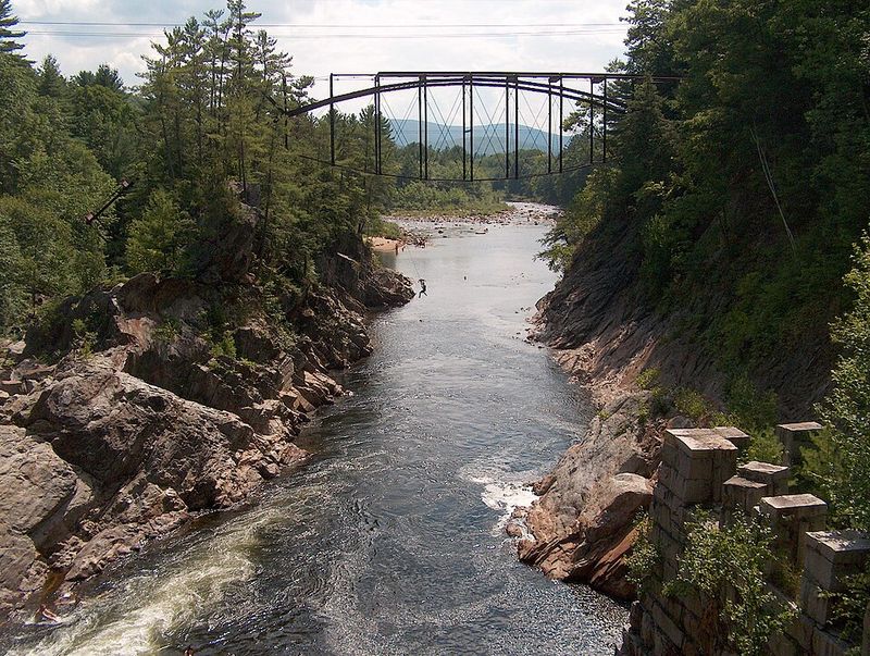
Back in 1876, a small but ambitious community took shape in the thick forests of Grafton County, New Hampshire. The Saunders family, a Massachusetts-based logging operation, established Livermore as a working town centered entirely on timber.
At its peak, around 200 people called this remote mountain valley home.
The town was named after Samuel Livermore, a New Hampshire senator who happened to be connected to the Saunders family through marriage. That kind of personal touch tells you a lot about how tightly knit this whole operation was.
The New Hampshire State Legislature formally incorporated the town, giving it an official identity beyond just a work camp.
Livermore had real community bones. There was a school, a store, a blacksmith shop, a barn, an icehouse, and several family homes.
The Saunders family even built a mansion on a hill overlooking the village, which feels both grand and a little lonely when you picture it now. Many of the residents were French-Canadian Catholics who brought their culture and faith into this rugged mountain setting.
It was a proper town, not just a logging outpost, and that distinction matters when you visit today.
The remnants of those foundations are still visible if you know where to look, and a quiet stillness hangs over the valley that makes it easy to imagine the sounds of saws and conversations that once filled these woods.
Hardship, Disease, and the Slow Unraveling
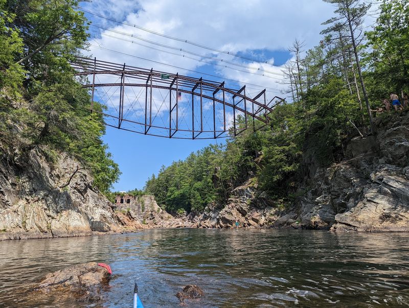
Livermore never had an easy run. A smallpox outbreak hit the community hard in the 1880s, claiming the lives of several residents.
For a town of only 200 people, even a handful of deaths would have been felt deeply by everyone who remained.
Fires damaged parts of the town over the years, chipping away at the infrastructure that kept daily life running. But the real turning point came in the 1920s, when a flood swept through and destroyed the mills at the heart of Livermore’s economy.
Without those mills, there was simply no reason to stay.
People began to leave gradually at first, then steadily. The last residents departed around 1949 or 1950, and the town’s charter was officially revoked by the state in 1951.
What is quietly fascinating is that the 2020 census technically recorded two residents in Livermore, making it one of the least populated places in all of New Hampshire. Whether that is accurate or just a quirk of census records, it adds one more layer of mystery to a place that already has plenty to go around.
The story of Livermore is not one dramatic collapse, but a slow, sad letting go.
The forest has been steadily reclaiming the land where homes and mills once stood, and walking through the quiet valley today, you can still make out the faint outlines of foundations half-buried in moss and leaves, the only trace of a community that once called this remote mountain hollow home.
How to Actually Get There And What to Expect
Getting to Livermore is part of the experience. From U.S.
Route 302, also known as the Crawford Notch Highway, you turn onto the Sawyer River Road, a dirt road located about six miles west of Bartlett village. From there, the former village site is roughly 1.5 miles in.
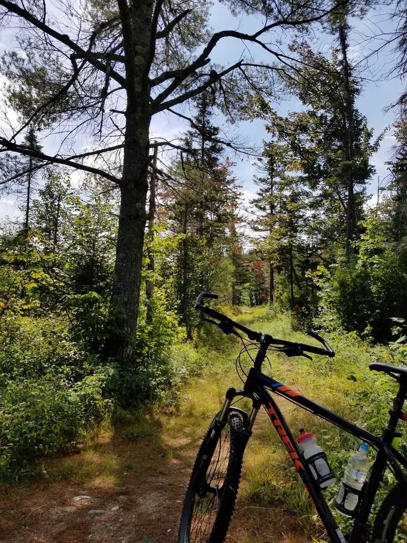
The road is not paved, and it is closed during winter months, so plan your visit for late spring through early fall. The Sawyer River Hiking Trail runs alongside this same corridor, meaning hikers and mountain bikers share the space comfortably.
Wear sturdy shoes and bring water, because the terrain is uneven and the forest is dense.
The Sawyer River Trail actually follows the original main road that once ran through the heart of Livermore. So when you walk that trail, you are literally retracing the footsteps of loggers, schoolchildren, and shopkeepers from over a century ago.
That thought hit me harder than I expected. There are no signs pointing you to specific ruins, so going with a rough sense of what to look for makes the visit far more rewarding.
A printed map or a downloaded offline GPS route is a smart idea before you head out.
The Ruins That Still Remain And What They Tell You
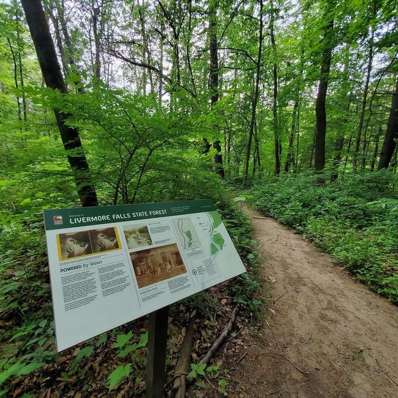
The forest has done a thorough job of reclaiming Livermore, but it has not erased it entirely. Scattered across the site are moss-covered concrete foundations that once supported a sawmill, along with brick remnants of a power mill nearby.
These structures feel heavy with age in the best possible way.
One of the most striking finds is the large cast-iron safe still sitting inside the cellar hole of the old town store. Nobody moved it.
Nobody took it. It just stayed, which says something about how completely this place was left behind.
Two tall concrete pillars, remnants of an old water system, also stand out against the treeline.
Near the Sawyer River, old train tracks and railroad ties twist and curl in ways that look almost sculptural now. Stone foundations mark where the schoolhouse and several homes once stood, and near the school site, careful eyes can spot old pipes, glass fragments, and bits of metal peeking through the soil.
A portion of the Saunders mansion foundation is also still visible. Removing any artifacts is against federal law since this land belongs to the White Mountain National Forest, so the rule is simple: look closely, photograph freely, but leave everything exactly where it is.
The Feeling of the Place, Quiet, Eerie, and Oddly Beautiful
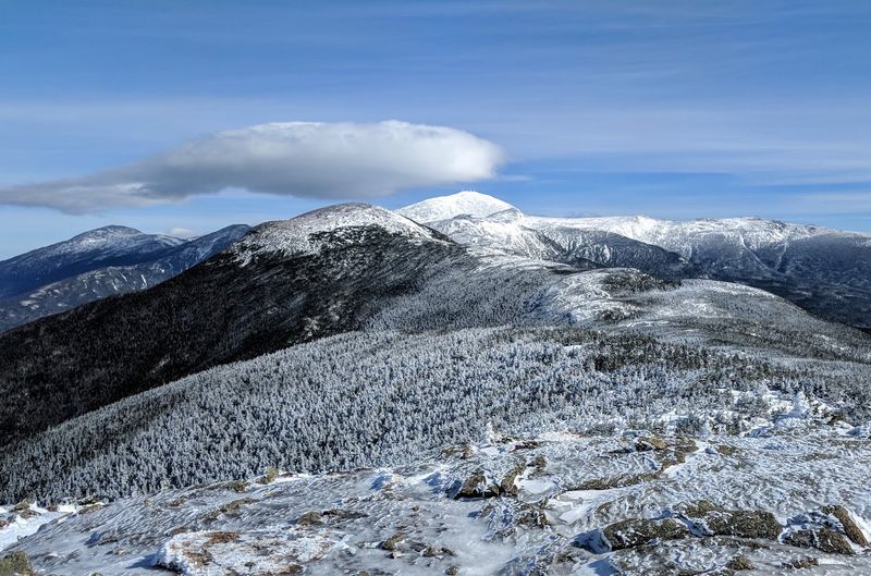
There is a particular kind of stillness in Livermore that is hard to describe without sounding dramatic. The forest presses in close, birds call from somewhere overhead, and the river hums steadily in the background.
But underneath all of that natural noise, there is a quiet that feels intentional, like the land itself is keeping something.
Visitors often describe the experience as eerie, and I understand why. Knowing that children ran around these now-crumbling foundations, that families cooked meals and went to church and argued about ordinary things, gives the ruins a weight that pure nature does not carry alone.
The apple trees growing wild along Sawyer River Road are a small but poignant detail. Someone planted those, tended them, probably picked from them every fall.
This is not a ghost town in the Hollywood sense. There are no dramatic collapsed buildings or rusted machinery looming at every turn.
The atmosphere is subtler than that, and honestly more affecting. The traces left behind are quiet enough that you have to slow down to notice them.
That slowness is the whole point of coming here. Livermore rewards patience and curiosity far more than it rewards speed or spectacle.
Recreation, Exploration, and Visiting Responsibly Today
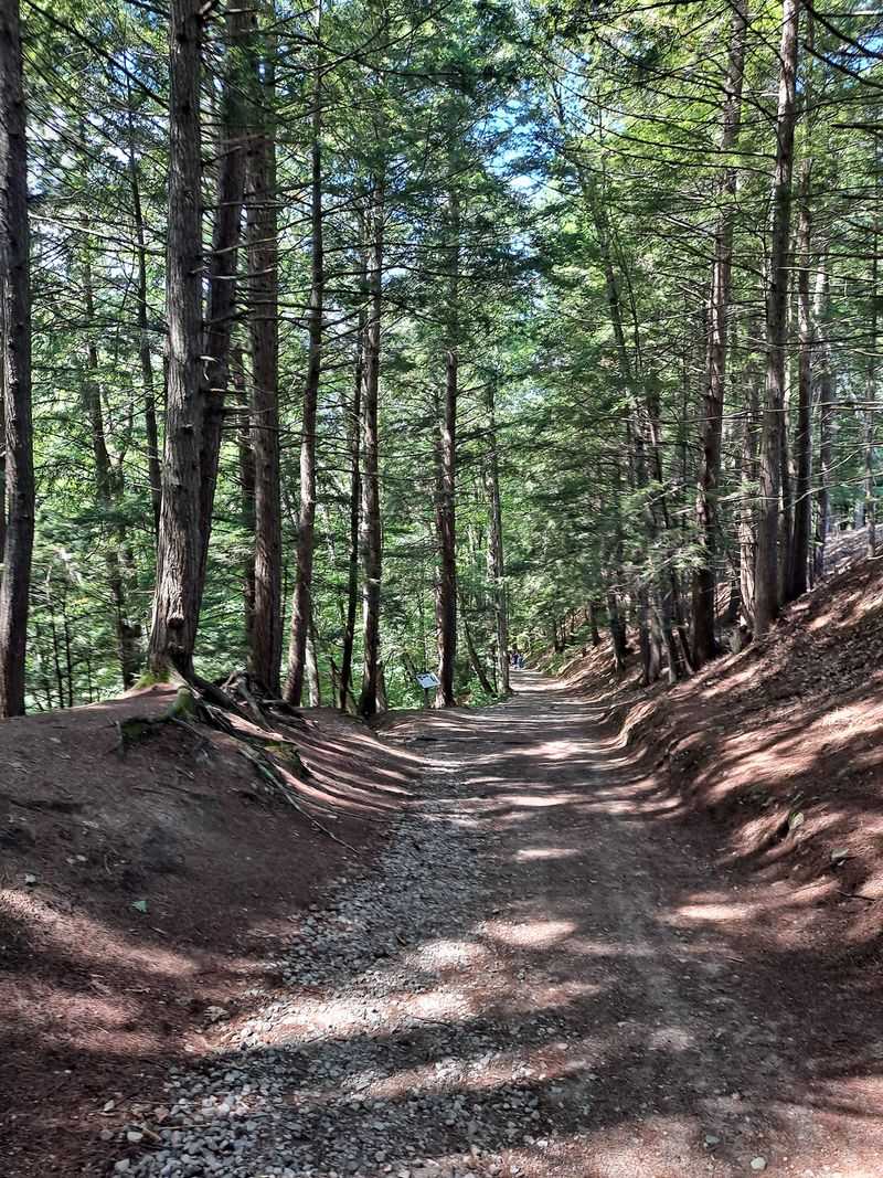
Livermore sits almost entirely within the White Mountain National Forest, which means the land is protected and well-maintained for public use. Beyond the historical exploration, the area offers a solid range of outdoor activities throughout the year.
Hiking and mountain biking are popular in warmer months, while snowmobiling and cross-country skiing take over once the snow arrives.
The Sawyer River Trail is the main route through the area and suits hikers of varying experience levels. It is not a technical trail, which makes it accessible for curious visitors who are more interested in history than peak-bagging.
The scenery along the river is genuinely lovely, with plenty of spots to stop, rest, and take in the surroundings.
If you plan to visit, come prepared with good footwear, a trail map, and a respectful mindset. The site is fragile in ways that are not always obvious.
Staying on established paths helps protect both the ecology and the remaining historical features. Photography is absolutely encouraged, and the light through the trees in the late morning hours is particularly good for capturing the mood of the place.
Livermore is one of those rare spots where history, nature, and silence come together in a way that genuinely stays with you long after you have driven back down Route 302.
