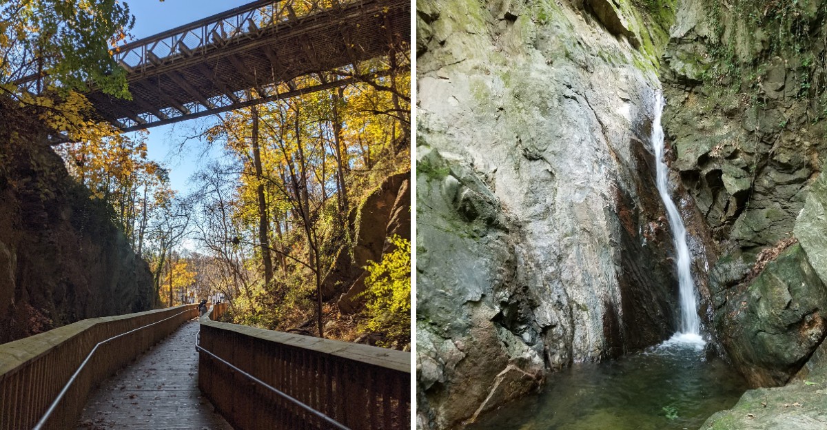
A curved boardwalk threads between granite walls that tower about 100 feet above the path. It’s a striking stretch of an old trolley route, and you don’t need to leave Maryland to walk through it.
I’d stop here longer than anywhere else along the trail, just to appreciate how the granite frames the walkway. The route follows a former streetcar line for roughly 1.25 miles, linking historic neighborhoods and wooded sections.
It’s mostly paved or boardwalk, although a steady incline keeps the outing from being completely effortless.
A creek runs beside parts of the path, with little waterfalls providing a gentler soundtrack. Walkers, runners, and cyclists share the route, and nearby historic streets make a natural addition to the outing.
It’s surprising how such a short trail packs in so much scenery.
Those Towering Granite Walls Steal The Whole Show
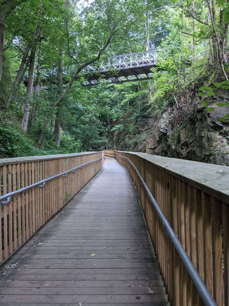
Hand-cut rock shouldn’t feel this dramatic, yet the Trolley Line #9 Trail pulls it off. Its most famous stretch is a wooden boardwalk curving between granite walls about 100 feet high.
Crews carved those walls in the 1890s. They needed a level path so electric streetcars could climb out of the valley toward Baltimore.
Think about that work for a second. No giant modern machines, just people, tools, and a whole lot of stubborn rock.
Today the cut feels like a mini canyon tucked inside the suburbs. The boardwalk bends gently, so the walls seem to unfold as you move forward.
It’s a great spot to slow down, even during a workout. Look up at the rough stone faces and notice how trees grow along the top edges.
Photographers will want to bring a phone with a good wide-angle setting. The height is hard to capture, but it’s fun trying.
Kids usually love this part most, and honestly, so do grownups. It feels like a secret passage someone forgot to lock.
Keep to one side when it’s busy, since cyclists share the boardwalk too. A friendly bell or quick heads-up keeps everyone smiling through the canyon.
A Streetcar Ride Turned Into Your Morning Walk
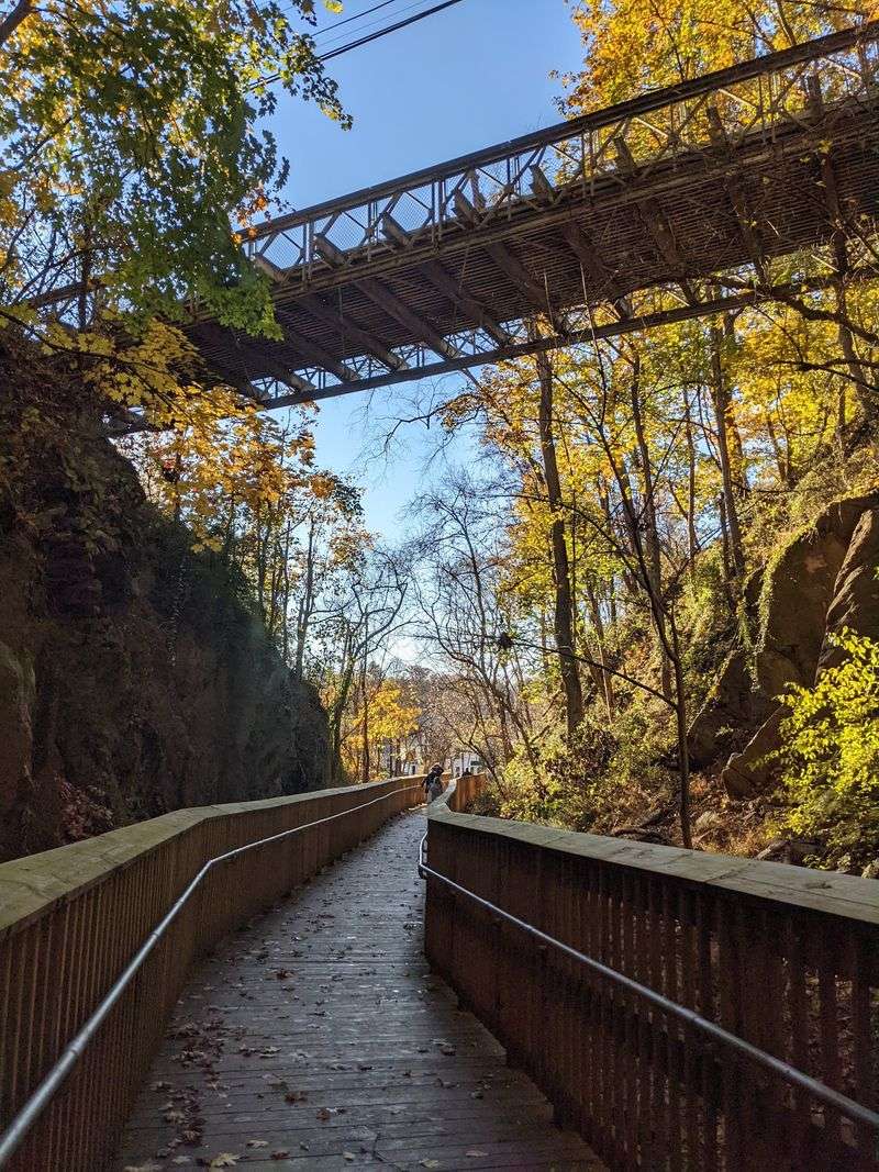
Back in 1899, the #9 trolley line rolled into Ellicott City. The Catonsville and Ellicott City Electric Railway Company ran these cars for commuters and freight.
People rode this route to reach jobs and shops near Baltimore. For roughly 55 years, the clanging cars were part of everyday life in Maryland.
Then came June 18, 1955, the date of the last run. Cars and buses had taken over, and the old line went silent.
The right-of-way didn’t stay forgotten forever. In the 1990s it became a rail-trail, giving the old route a brand-new purpose.
A local teen played a big part in that story. Aaron Tomarchio’s 1991 Eagle Scout project is credited with helping clear and pave the old line.
That’s a pretty impressive merit badge, if you ask me. Most Scout projects don’t end up serving walkers for decades.
Knowing the history changes how the trail feels. The gentle grades and smooth curves make sense once you realize trolleys needed them.
So when the path bends politely around a hill, thank the engineers. They were planning for streetcars, but joggers ended up winning big.
Let The Creek Handle The Soundtrack
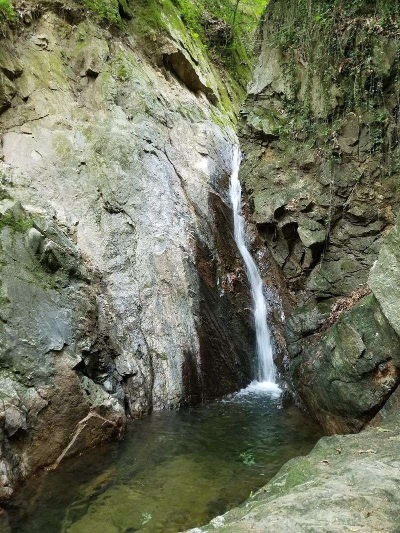
Cooper Branch does the talking along much of this route. The stream runs beside the trail and splashes over small waterfalls along the way.
That steady rush of water helps cover up the outside world. Busy roads aren’t far away, but the valley feels tucked away from them.
Leave the earbuds in your pocket for at least one trip. The creek, the birds, and the breeze make a playlist no app can copy.
Birding fans should bring binoculars too. The wooded valley offers good chances to spot feathered neighbors flitting between branches.
Repairs have recently focused on this stream area. Stabilization work along Cooper Branch was finished, and a section between two Oella Avenue crossings reopened in mid-October 2026.
Minor repairs may still pop up now and then. Watch for posted signs before heading out, especially after big storms.
Moving water and old valleys need a little care. That attention helps keep the path safe for strollers, bikes, and sneakers alike.
Pause at a waterfall and just listen for a minute. It’s a cheap, easy way to reset a stressful week.
Shade So Good You Might Forget It’s Summer
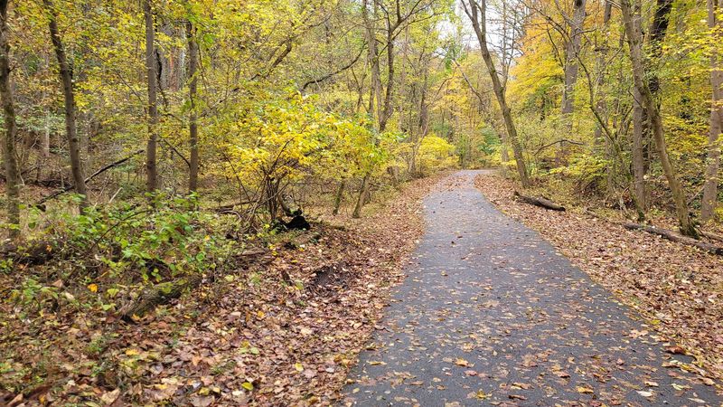
Summer sun can turn a nice walk into a sweaty slog. Luckily, tall trees cover most of this trail like a leafy umbrella.
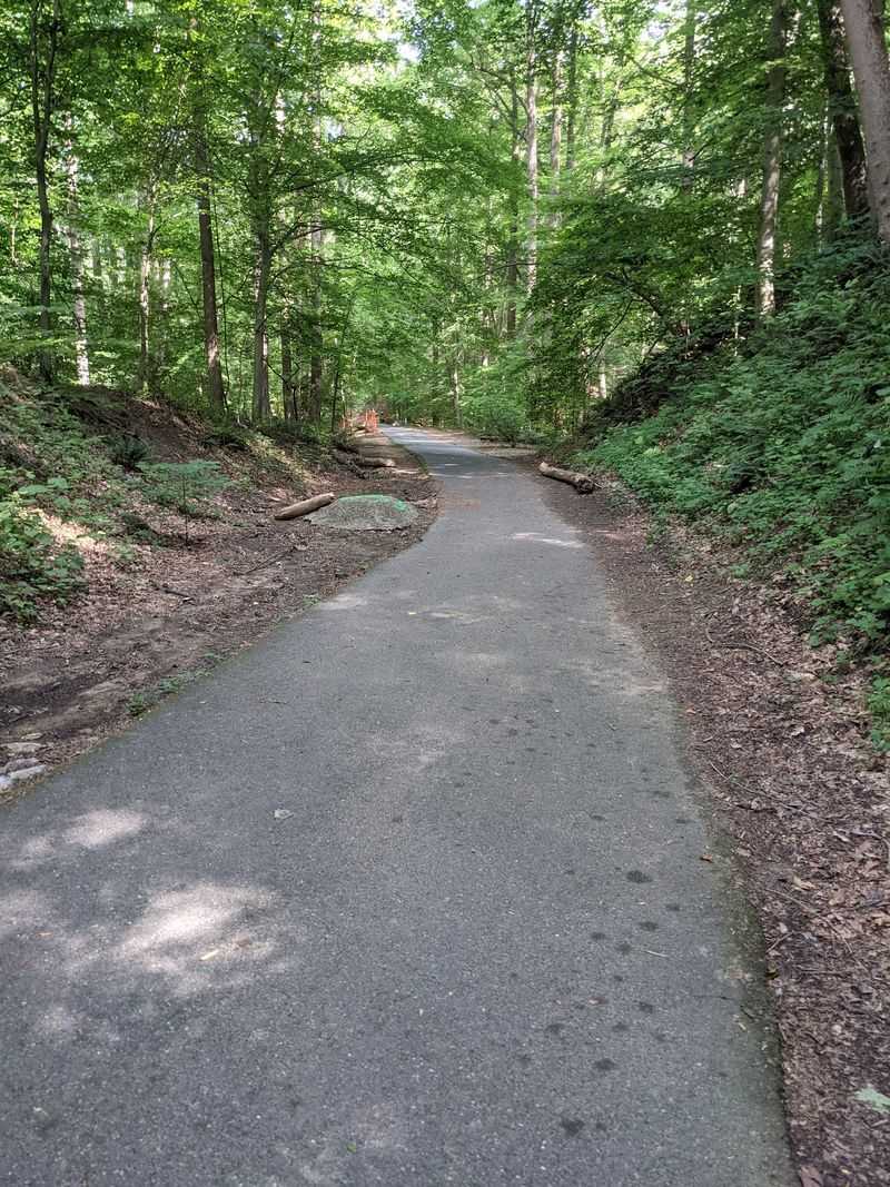
The mostly shaded path stays cooler than open sidewalks. That makes it a smart pick for warm Maryland afternoons when pavement feels like a griddle.
The surface is paved asphalt, with boardwalk sections mixed in. Wheels roll easily, so it works for bikes and strollers.
Dog owners show up often with leashed pups. Pack water for your four-legged buddy, because even shade can’t stop panting.
Seasons put on a show here as well. Fall brings bright colors overhead, and spring fills the valley with fresh green leaves.
Each season gives the same path a whole new outfit. You could walk it four times a year and get four different views.
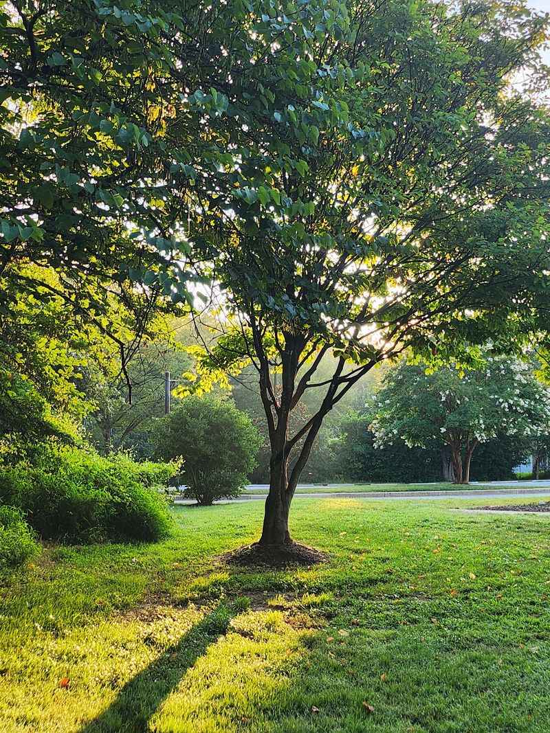
Early mornings and evenings can feel extra peaceful under the canopy. Light filters down softly through the branches and makes everything glow.
Bring a light jacket in cooler months, though. Shade is a gift in July, but it can feel chilly when November arrives.
Your Legs Will Notice The Climb Toward Catonsville
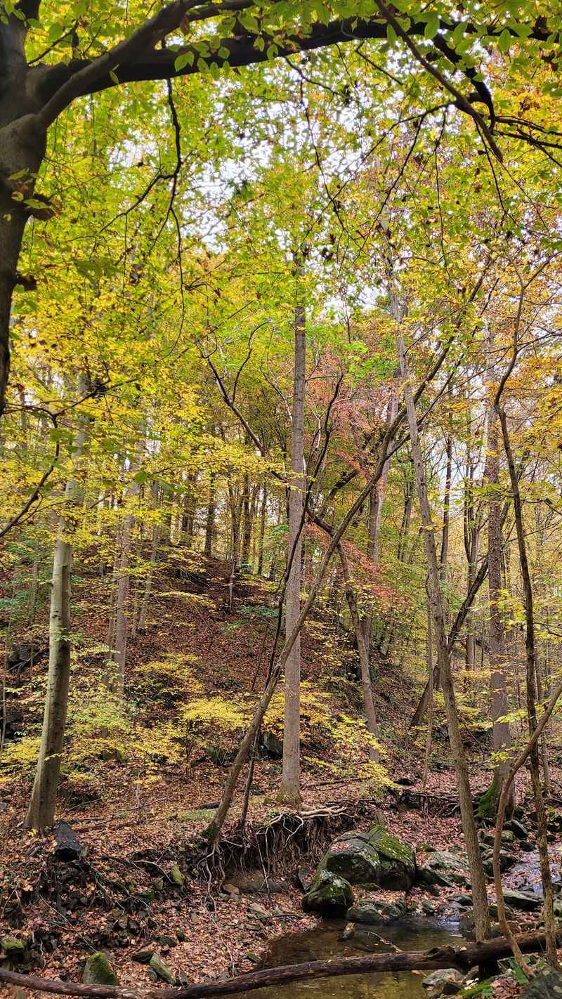
Heading east, the trail quietly turns into a workout. There’s a steady uphill grade toward Catonsville that your calves will definitely notice.
Don’t worry, it’s not a mountain. Most folks rate the trail easy to moderate, so beginners can handle it fine.
The route runs roughly 1.25 to 1.5 miles one way. An out-and-back trip lands around three miles total.
Joggers love that kind of distance. It’s long enough to feel accomplished but short enough to squeeze in before dinner.
Here’s a handy tip for planning. Start at the Ellicott City end if you want to climb first and coast home.
Cyclists get a fun reward on the return. That gentle downhill feels like the trail is giving you a high five.
Road crossings are few and well marked. Still, slow down and look both ways, because cars don’t care how great your pace is.
The eastern end reaches Edmondson Avenue and Stonewall Road in Catonsville. From there, an on-road bike lane of about 1.4 miles links riders to the #8 Streetcar Path.
Park Smart And Start Near The Old Mill Buildings
Old brick-and-stone mill and factory buildings greet you at the Ellicott City end. It’s a historic setting before you even take a step.
Most visitors use the lot beside The Trolley Stop Restaurant. Its address is 6 Oella Avenue, Ellicott City, MD 21043, and stairs lead from there up to the trail.
Riding a bike? Skip the stairs and use Westchester Avenue for an at-grade connection.
Accessible parking is available on Westchester Avenue as well. That makes things easier for wheelchairs and anyone who’d rather avoid steps.
Prefer starting from the top? Street parking sits at the western end of Edmondson Avenue near Chalfonte Avenue in Catonsville.
Picking the right start can shape your whole outing. The Oella side puts the climb ahead of you, while Catonsville sends you downhill first.
Weekends near historic Ellicott City can get lively. Have a backup plan in mind if your first spot is taken.
Once you’re parked, the old mill walls set the mood nicely. It feels like stepping back a century, minus the soot and noisy machines.
A Short Detour Leads To A Remarkable Farm
Near the 1-mile mark, a little side trip opens up a big story. A 0.3-mile detour brings you to the Benjamin Banneker Historical Park and Museum.
Benjamin Banneker was an African American astronomer and farmer. His work and life still inspire students and history lovers today.
The park includes nature trails and archaeological sites. Living history areas re-create colonial farm life the way Banneker knew it.
It’s a perfect add-on for families. Kids who get bored on a straight walk suddenly have something new to explore.
The detour also stretches your mileage without extra driving. Count it as bonus steps with a side of learning.
Plan some extra time if you’d like to explore the museum properly. Rushing through great history feels like skimming a good book.
Combining this stop with the trolley trail makes a full day out in Maryland. You get old engineering, quiet woods, and a meaningful history lesson in one loop.
Bring comfy shoes, since the nature trails may be less smooth than pavement. A little dirt never hurt anybody, especially on an adventure like this.
Fresh Bread And Country Shopping Wait At The Bottom
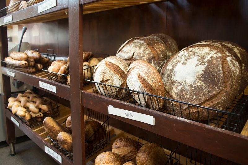
Hungry hikers get a sweet bonus near the Oella Avenue end. A handful of local shops sit close enough to visit after your walk.
The Breadery is known for whole grain and artisan breads. Grabbing a loaf after a trail stroll feels like a well-earned prize.
Jay’s Country Store is nearby too. So is Trueth’s Butcher Shop, handy if you’re planning dinner on the drive home.
The Trolley Stop Restaurant also sits right by the trailhead lot. Its name fits perfectly with the old streetcar route above.
Planning a stop here can turn a quick jog into a relaxed outing. Exercise first, snacks second, which seems like a fair trade.
Shop hours can vary, so check before you go. Nobody wants to finish a climb and find a locked door.
Leave a little space in your backpack for goodies. Bread squished under a water bottle is still tasty, just a bit flatter.
These spots give the Oella end real neighborhood charm. They make the trail feel connected to the community, not just a path through trees.
Cross The Bridge And Keep The Adventure Rolling
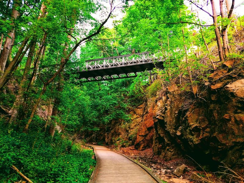
Historic Ellicott City sits just about 0.2 miles across a bridge from the trailhead. That’s close enough to stroll over without thinking twice.
Main Street offers shops and restaurants inside old buildings. It’s a lively change of pace after the quiet woods.
Train fans should visit the B&O Ellicott City Station Museum. It’s the nation’s oldest standing railroad depot, which fits nicely after a trolley trail.
Look for another piece of history along the way. Stone supports from the long-gone trolley bridge into Ellicott City are listed on the National Register of Historic Places.
Those old piers are quiet reminders of the streetcar days. The cars are gone, but the stonework still stands proudly.
Want even more miles? The trailhead is about half a mile from River Road, which leads toward the Grist Mill Trail in Patapsco Valley State Park.
That connection lets you build a much bigger Maryland adventure. Short walk, long ride, or a full history tour, the choice is yours.
The Trolley Line #9 Trail is small, but it links to so much. Not bad for a former commuter route that once just wanted to reach Baltimore.
