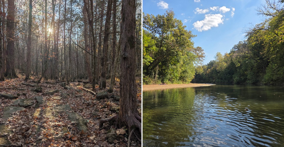
Three miles does not sound like much until the trail starts throwing creek crossings, rocky stretches, and a waterfall into the mix.
This Missouri loop follows Coonville Creek through a narrow valley where clear water, wooded slopes, and rugged little tributaries keep the scenery changing as you go.
Parts of the trail feel easy and relaxed, while others get steeper and rougher underfoot. That variety is what makes the hike fun.
You can move from creekside stretches to glades and higher viewpoints without spending the whole day on the trail. The waterfall is one of the best rewards along the way, especially after wetter weather when the flow is stronger.
For hikers who like a route with a little bit of everything, this Missouri trail packs a surprising amount into a relatively short loop.
Mooner’s Hollow Trail Is The One You Want
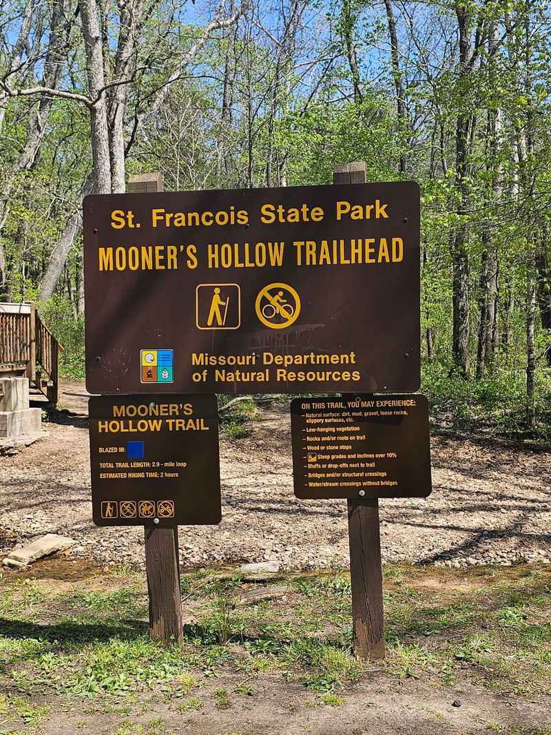
If you search for this hike by the waterfall alone, you will probably end up confused, because the name you actually need is Mooner’s Hollow Trail. That is the three-mile loop everyone talks about, and it is the one that carries you along the creek and out to the falls.
Knowing the trail name matters more than you would think, since the park holds several paths and some of them are considerably longer. Walk in asking about the waterfall trail and you might get pointed toward something that eats up your whole afternoon instead.
The loop itself is considered one of the highlights of the entire park, and it packs a lot of scenery into a fairly short distance. You are looking at creek views, wooded hillsides, and that waterfall payoff, all in a single circuit that returns you to where you parked.
Write the name down or save it in your phone before you leave home, because cell service in these Missouri hills can get spotty. Trail signs at the trailhead will confirm you are in the right place once you arrive.
It is a small detail, but starting the day on the correct path makes everything afterward a lot smoother.
Finding The Park Without Any Fuss
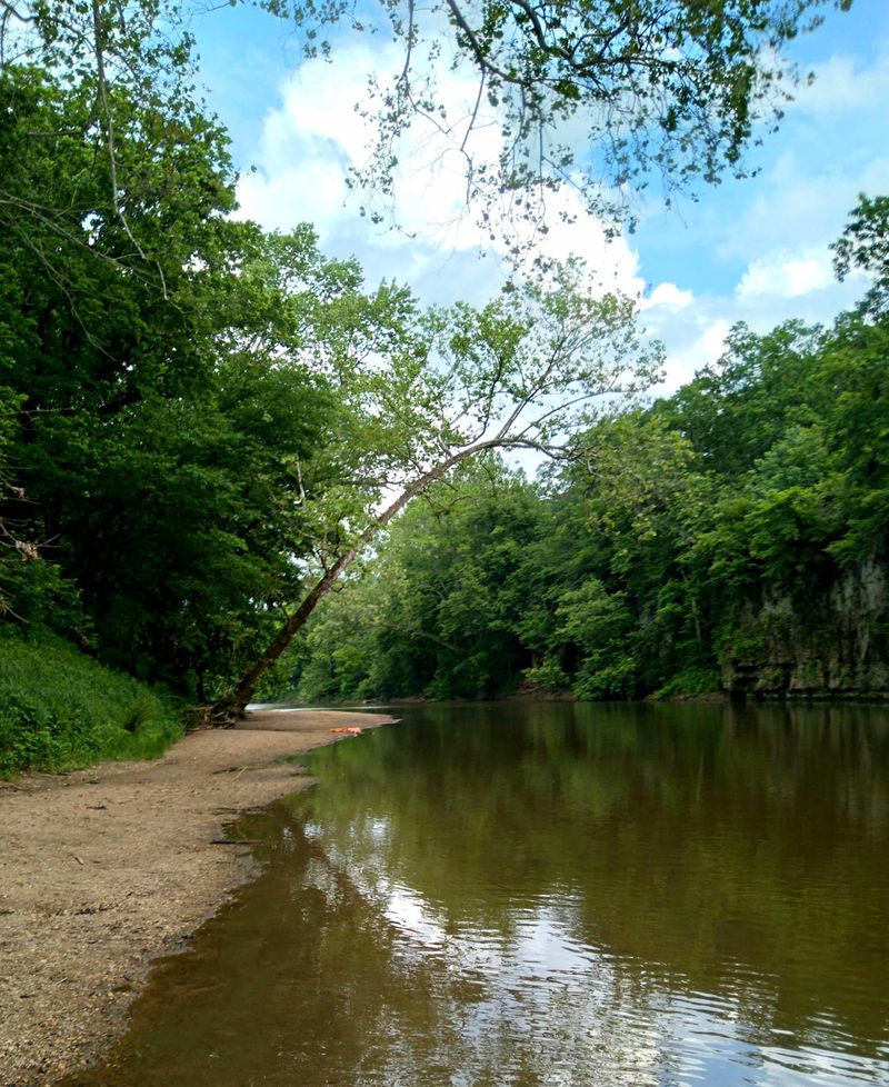
Here is the good news about getting there, because the drive is genuinely simple. The trail sits inside St. Francois State Park at 8920 US Highway 67 N, Bonne Terre, MO 63628, and the entrance comes right off the highway, so you are not hunting down some unmarked gravel turnoff.
From St. Louis you are looking at roughly an hour behind the wheel, which puts this comfortably in day-trip territory. You can leave in the morning, walk the loop, poke around the park a bit, and still be back in town with plenty of daylight to spare.
Because the highway runs so close, the park makes an easy stop if you happen to be heading south through this part of the state anyway. Plenty of folks pull off for a stretch and end up staying much longer than planned.
Parking near the trailhead is straightforward, and the roads inside the park are paved and easy to follow. Grab a park map at the entrance if one is available, since it helps you sort out which lot puts you closest to the loop.
Fill your water bottles before you leave, though, because once you are on the trail there is nowhere to top off.
Coonville Creek Runs Surprisingly Clear
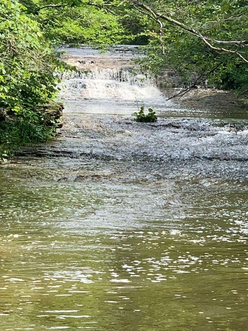
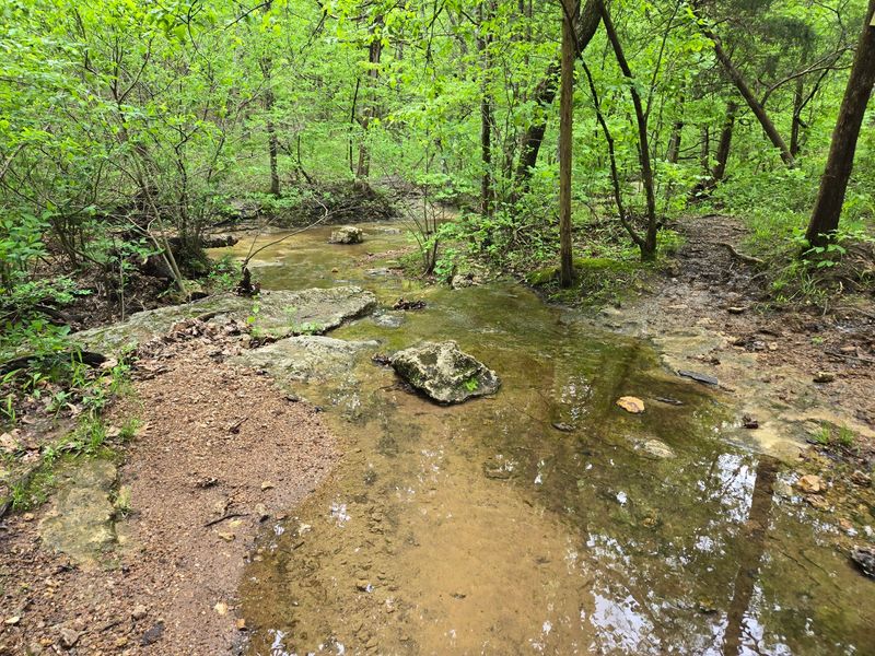
Water this clean always catches people off guard. Coonville Creek runs right alongside a good portion of the trail, and it is clear enough that you can see straight down to the gravel bed and watch the current push around the stones.
The creek is honestly half the reason this hike is worth doing, because you are rarely far from the sound of moving water. That constant background noise changes the whole feel of a walk, and it keeps things interesting even on the flatter stretches.
If you like taking photos, the light coming through the trees and hitting the water surface gives you plenty to work with. Early morning and late afternoon tend to be kindest for that sort of thing.
Water levels shift with the weather, so after heavy rain the creek runs fuller and louder, while dry spells leave it shallow and mellow. Both versions have their charm, though wet conditions make the rocks slicker than they look.
Take a minute to just sit near the bank somewhere along the way. Missouri has a lot of pretty water, and this stretch holds its own against any of it.
Stepping Stones Make The Crossings Fun
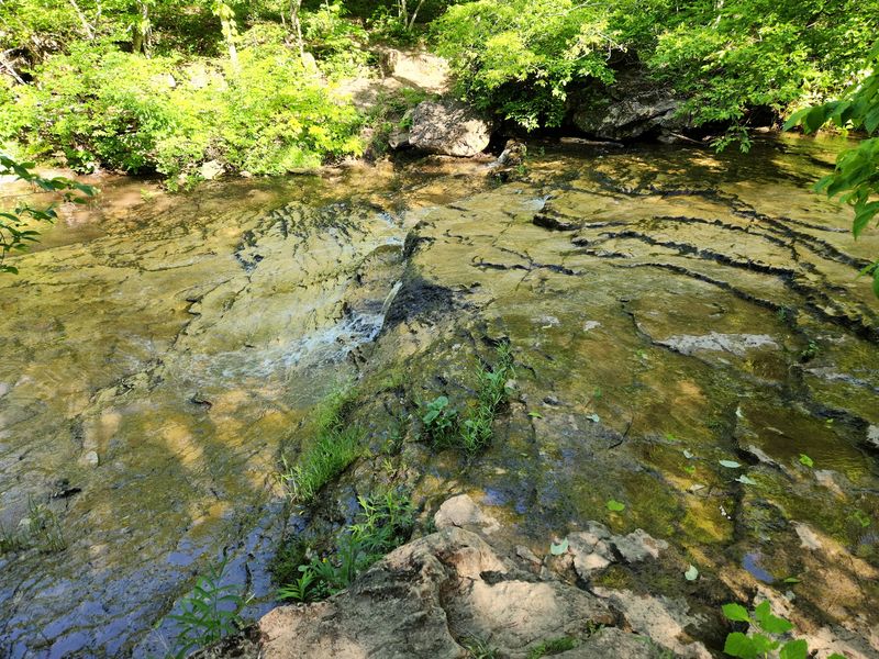
Crossing the water is not an obstacle here, it is part of the whole experience. The trail uses stepping stones to get you over Coonville Creek, and hopping across them feels more like play than hiking.
Kids tend to love this section, and adults usually do too once they admit it. There is something satisfying about picking your line across the rocks and making it to the other side with dry socks.
Wear shoes with real grip, because smooth stones plus moving water is a combination that has humbled plenty of confident hikers. Trail runners or hiking boots will serve you far better than anything with a flat sole.
After heavy rain the creek can rise enough to cover the stones, and when that happens the crossings get genuinely tricky. Checking recent weather before you drive out saves you from standing at the bank trying to decide whether to risk it.
Bring a spare pair of socks in your pack just in case, because damp feet can ruin an otherwise lovely walk. Consider trekking poles too if your balance is not what it once was, since they help enormously on uneven rock.
Where That Odd Trail Name Came From
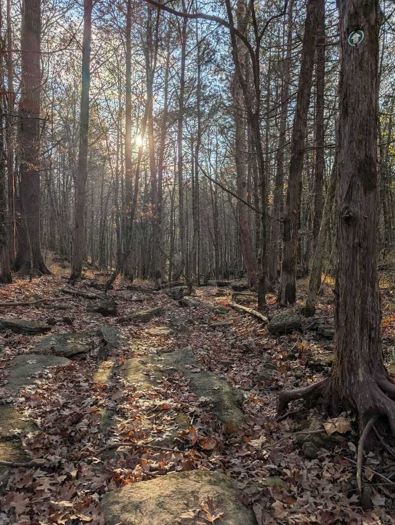
Ever wonder why anyone would name a trail Mooner’s Hollow? The answer goes back to the moonshiners who once worked these hollows, and they reportedly favored the cold, clear water of Coonville Creek for what they were making.
Knowing that little scrap of history changes how the walk feels, at least it did for me when I read about it. Suddenly the quiet hollows and tucked-away bends look less like scenery and more like hiding places, which they once were.
The terrain makes perfect sense for that kind of activity, since the ridges and folds in the land keep things out of sight from the roads above. Anyone wanting privacy in these Missouri hills would have had an easy time finding it.
Park signage and materials touch on this bit of local past, so keep an eye out for interpretive information near the trailhead. It is worth reading before you set off.
Stories like this are what separate a decent hike from a memorable one. You are not just walking a loop, you are walking through a piece of how people used to live out here.
Rolling Ozark Hills And Open Glades
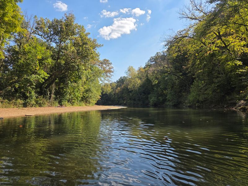
What surprised me reading about this loop is how much variety it fits into three miles. You move through rolling hills, thick woodland, and even some open glades where the tree cover thins and the rock shows through.
Those glades are genuinely special, because they support plants and wildlife you will not find under heavy forest canopy. Slowing down in those stretches usually rewards you with something interesting underfoot or overhead.
The woodlands shift as you climb and descend, and the hills give you enough elevation change to feel like you earned the walk without wearing you out. It is a real hike, just a manageable one.
Seasons transform the place completely, with spring wildflowers, dense summer green, and autumn color running through the hardwoods. Winter strips things bare and opens up views you cannot see any other time of year.
Bug spray is a smart addition from late spring through summer, since shaded creek corridors attract exactly what you would expect. A hat helps in the open glade sections where shade disappears.
Honestly, this stretch of Missouri does the Ozark landscape justice in a very compact package.
Bring The Dog, Leave The Stroller
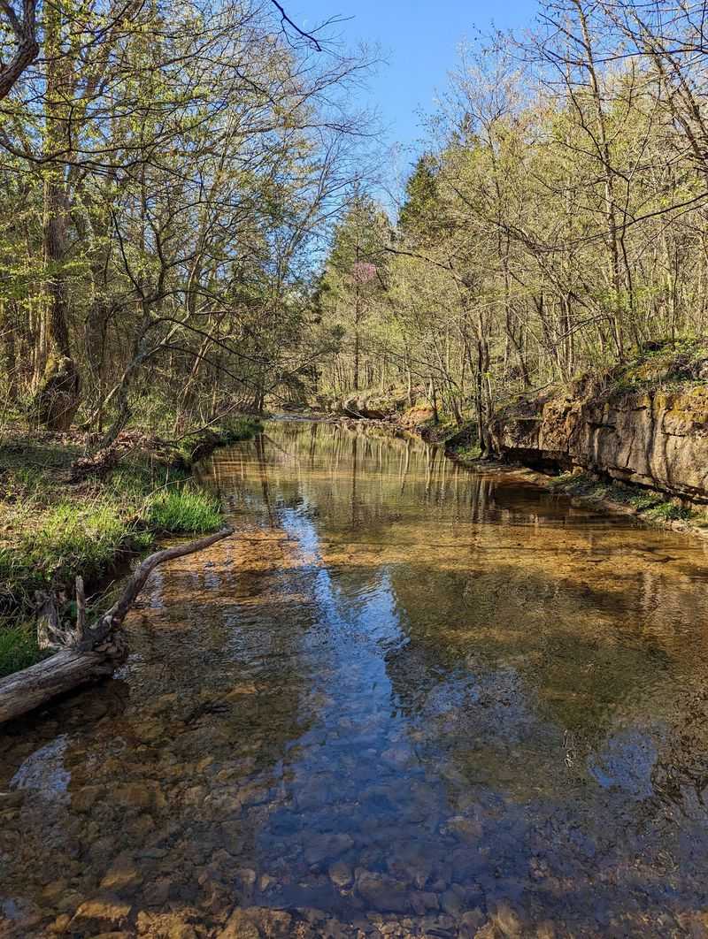
Quick heads-up on accessibility, because it matters for planning. The path is unpaved and uneven throughout, so strollers and wheelchairs are not going to work on this particular loop.
If you are traveling with little ones, a soft carrier or backpack carrier is the way to go. Older kids generally handle the distance fine, especially with the creek crossings breaking up the walk.
Dogs are welcome here as long as they stay leashed, which makes it a solid outing if your pup enjoys water and woods. Plenty of chances to splash along the creek should keep tails wagging.
Pack water for your dog too, since drinking straight from a creek is not ideal for them. A collapsible bowl weighs almost nothing and makes rest stops easier.
Footing is the main thing to respect, with roots, rocks, and loose dirt showing up regularly along the way. Anyone with knee or ankle trouble should take it slow and consider poles.
The park does offer other areas that are easier to access, so a mixed-ability group can still spend a good day here together while some folks tackle the loop.
Stick Around For The Rest Of The Park
Finishing the loop does not mean your day has to end, because there is more here than the one trail. The park also holds the much longer Pike Run Trail and the shorter Swimming Deer Trail, so you can add mileage or wind down depending on your energy.
Pike Run is the serious option for anyone wanting a real backcountry push, while Swimming Deer works better as an easy afternoon stroll. Having that range in one park is genuinely useful when your group wants different things.
The Big River borders the property, and that opens up more scenery along with water-based activities. Sitting by the river after a hike is a solid way to close things out.
Picnic areas and campgrounds mean you can stretch this into an overnight trip rather than a quick drive-and-go. Camping here puts you right next to the trailhead for an early start.
Nearby Bonne Terre gives you somewhere to grab a bite before heading home, which beats eating gas station snacks in the car.
Give yourself more time than you think you need, since this pocket of Missouri tends to hold people longer than planned.
