On August 19, 1780, about 200 Patriot militiamen showed up near a ford on a river, thinking they would meet a matched force. They discovered roughly 500 Loyalists and British provincial regulars waiting instead.
That is the opening of a South Carolina story that still surprises me. I had pulled off a quiet country road expecting a plaque, maybe a bench.
What I found was one of the most unexpected Revolutionary War sites I have ever come across. The Patriots could have run.
They stayed, built a defensive line along a ridge, and won in about an hour. The battle was over quickly, a Patriot victory that helped turn the tide in the South.
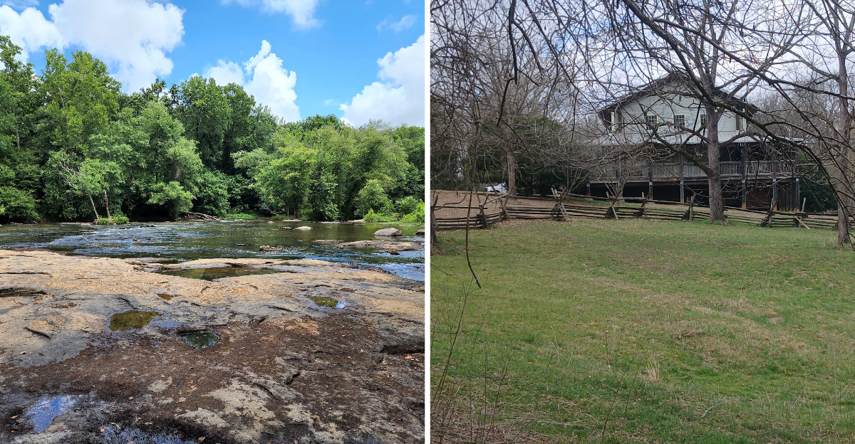
Today the land looks ordinary, all rolling woods, river sounds, and a little waterfall where kids splash. History feels close here, and that is why I keep recommending it.
The Odds That Made No Sense on Paper
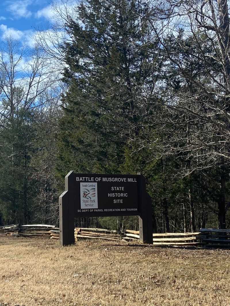
Numbers tell the story fast. Roughly 200 Patriot militiamen rode toward the Enoree River believing they would face a Loyalist force about their own size.
What they found instead was around 500 fighters, made up of about 300 Loyalist militia plus 200 British provincial regulars who had reinforced the camp overnight. That is more than two to one, and the Patriots were tired from riding hard through the night.
I kept thinking about their options while reading the signs. Retreating in daylight with fresh enemy cavalry nearby was dangerous, and charging straight into a camp of trained regulars would have been worse.
So they picked a third path. They built a rough breastwork of logs and brush along a ridge, hid behind it, and sent a small group of riders to poke at the Loyalist camp and make them angry enough to chase.
The plan worked almost exactly as intended. Learning this before you walk the trail changes everything, because suddenly the shape of the land stops being scenery and starts looking like a decision someone made under real pressure.
An Hour of Fighting That Rattled the British
Sixty minutes. That is roughly how long the actual fight lasted, which feels almost impossible given how much it changed.
The Loyalists took the bait, advanced up toward the ridge, and ran into concentrated musket fire from men who had the high ground and cover. When the Loyalist line wavered, the Patriots came over their works and pushed the attack.
Casualty numbers say plenty about how lopsided it turned out. Patriot losses were around four deceased and twelve wounded, while Loyalist losses ran to roughly sixty-three deceased, many more wounded, and about seventy taken prisoner.
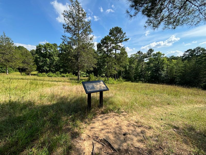
Standing near those interpretive markers, I found myself doing quiet math about how fast a life could end here. It was not a polished European-style battle either, since neighbors sometimes fought neighbors in the Carolina backcountry, and the fighting could turn brutal and personal.
Historians often describe this region during the Revolution as America’s first civil war. That framing stayed with me longer than any statistic, mostly because the woods around the ridge look so peaceful now that violence feels impossible to picture.
Why This Win Mattered So Much in August 1780
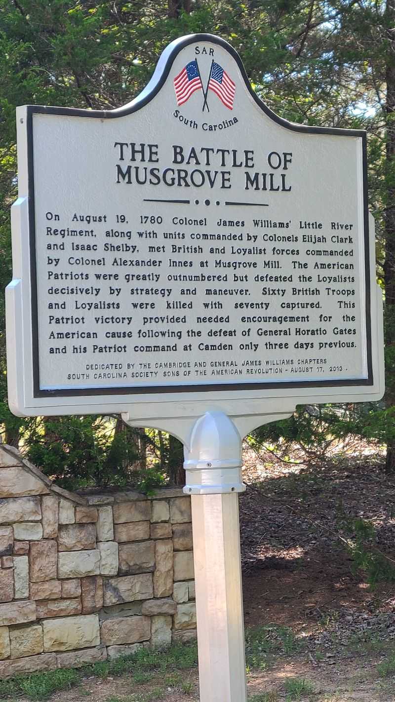
Context turns a small skirmish into something enormous. Just days before this fight, the Patriot cause in South Carolina had taken two crushing blows at Camden and Fishing Creek.
British commanders genuinely believed organized resistance in the state was finished. Then a scrappy, outnumbered group of backcountry militia beat a larger combined force and walked away with prisoners.
News like that travels. It told people across the Carolina frontier that the war was not over, and it told the British high command that their confidence had holes in it.
General Charles Cornwallis reacted by sending Colonel Patrick Ferguson toward the frontier to deal with these stubborn backcountry fighters. That decision helped set the stage for Kings Mountain roughly six weeks later, a battle that truly shifted the southern campaign.
A park ranger elsewhere in the region once described Musgrove Mill to a visitor as a precursor to Kings Mountain, and after visiting I understand why people connect them. Small victories can act like sparks, and this one landed at exactly the right moment for a cause that badly needed hope.
The Visitor Center Is Better Than You Expect
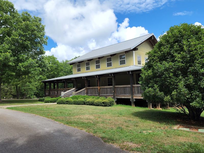
My honest assumption was a one-room shed with a few faded photos. Wrong.
The visitor center here is spacious, air conditioned, and packed with interpretive exhibits that explain not only this battle but South Carolina’s larger role in the Revolution. Artifacts sit in cases, reproduction muskets and uniforms come out for demonstrations, and a short animated display walks you through how the battle unfolded step by step.
That display is worth sitting through before you hike, since it takes only a few minutes and makes the terrain outside far easier to read.
Rangers are the real highlight. Visitors regularly mention how much time staff will spend answering questions, and some have even helped people search records for ancestors connected to the battle or the county at that time.
The gift shop carries books about the battle, the southern campaign, and the Revolution in general, plus shirts and small souvenirs. Restrooms are clean, the porch has rocking chairs, and the whole setup makes an easy landing spot before or after your walk.
Give yourself thirty to forty minutes inside.
British Camp Trail and the Ghost of the Gristmill
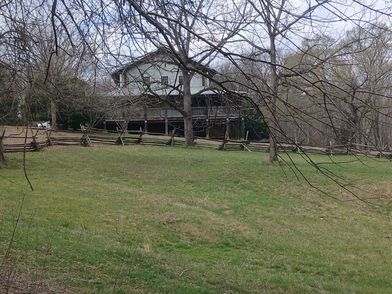
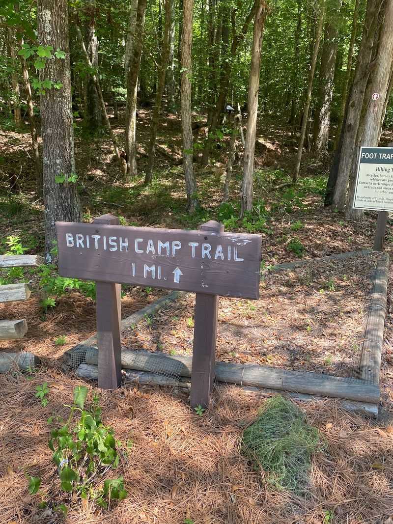
Behind the visitor center, a one-mile loop slips down toward the Enoree River and the ground where the Musgrove family lived and ran their gristmill. Edward Musgrove’s mill gave the battle its name, and walking to the spot where it stood feels oddly intimate.
The path runs through old hardwoods with roots and gentle elevation changes, so it is easy but not stroller friendly. Sturdy shoes help.
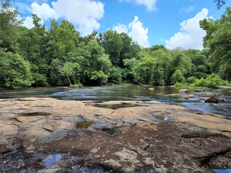
River views open up in a few places, and the water moves slow and brown and green depending on the season. There is also a fishing pond along the route, where turtles sun themselves on logs and rocks like they own the place.
Interpretive signs along the way explain where the Loyalist camp sat and how the land functioned as a working mill community.
I would strongly suggest bug spray between May and September, because the river bottom breeds mosquitoes with real enthusiasm. Early morning walks are cooler and quieter, and you stand a decent chance of spotting deer, woodpeckers, or a heron working the shallows near the ford.
Battlefield Trail Where the Ridge Tells the Story
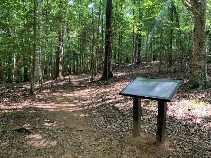
Here is the part people skip, and they should not. The actual battlefield sits across the river, and you have to drive a few minutes to a separate entrance to reach it.
A 1.5-mile loop winds through rolling hills, climbing gently onto the ridge where the Patriots built their line. Roots, wooden steps, and short inclines make it slightly more demanding than the mill trail, though still manageable for most families.
What I liked most was how readable the terrain is. The units involved were small enough that the signs can show you exactly where each group stood, and you can trace the attack with your own eyes.
You start to understand why holding that rise mattered so much.
One practical tip from visitors: where the loop splits, going right follows the story markers in order, while going left gets you to the battlefield section faster. Pick based on your time and patience.
Bring water in summer. Shade covers most of the route, but Carolina humidity does not negotiate with anybody.
Horseshoe Falls, the Unexpected Reward
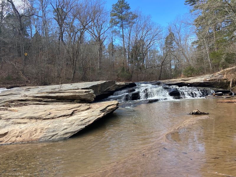
Nobody warns you that a battlefield park comes with a waterfall, and that surprise is half the fun. Horseshoe Falls sits on Cedar Shoals Creek near the battlefield entrance, reachable by a short paved path that takes roughly two minutes.
Wheelchair users and folks with tired legs can get there without trouble.
The falls are small, wide, and genuinely pretty, spilling over rock ledges into shallow water. On warm days people wade in, sit on the flat rocks, and let the current run over their feet.
Kids love it, and I watched a few families turn a quick stop into a long afternoon.
Photographers should aim for overcast days or early light, since harsh midday sun washes out the water. The sound alone is worth lingering for, a steady rush that drowns out everything else.
What gets me is the contrast. Men fought and passed away on the hills just above this creek, and now it is a place where children shriek and splash.
History and everyday life sharing the same ground, no fence between them.
Picnics, Paddling, and Slow Afternoons
Pack a cooler. Seriously, it changes the whole visit.
Picnic tables sit under shade near a shelter, and the visitor center porch has rocking chairs that beg you to sit down for a while. Plenty of people skip the tables entirely and spread a blanket under a tree where the breeze moves through.
Fishing is allowed in the pond along the British Camp Trail, and anglers seem to do alright there. Check current park regulations and licensing before you cast.
There is also a launch for kayaks and canoes on the Enoree River, which opens up a completely different way to experience the same landscape the armies crossed in 1780.
Dogs are welcome on the trails, which makes it a solid stop if you are road tripping with a pup in the back seat. No overnight camping exists here, so plan it as a half-day visit.
Restrooms sit near both the visitor center and the trailhead area, and they stay clean. Small comforts matter more than people admit on a hot hiking day.
Living History Weekends and Planning Your Trip
Timing your visit around a special event turns a good day into a memorable one. The park regularly hosts encampments and living history programs where interpreters demonstrate musket firing, colonial crafts, herbal medicine, mapmaking, and period skills.
Families with young kids tend to get the most out of these weekends, since watching something happen beats reading about it.
Check the park website or call ahead before you drive out, because event dates shift and programming varies by season.
Gates open at 9 AM daily and close at 6 PM, and I would allow two to three hours minimum to cover the visitor center, both trails, and the falls. Add more if you plan to swim or picnic.
Remember that the battlefield and falls require a separate short drive from the main office, roughly five to ten minutes, so do not leave without asking for directions.
Nearby Rose Hill Plantation and Kings Mountain make excellent companion stops for a Revolutionary War road trip through the upstate.
Address: 398 State Park Rd, Clinton, SC 29325
