
Vermont does not lose places loudly.
It lets them thin out, settle back into the trees, and become stories you hear only if you ask the right way.
In the mountains around Glastenbury, old lodges, logging camps, and trail hubs once stitched people into the forest, then quietly slipped out of sight as the work moved on.
What remains is not empty, but layered, a landscape where stone walls, faded routes, and half-remembered names still shape how the woods feel.
This is a corner of Vermont where history never fully left, it just learned how to stay quiet, and the mountains kept the record.
A Mountain Region Slowly Left Behind

Let me start simple because the place does not brag.
Glastenbury Mountain sits above Bennington in southern Vermont, folded in spruce and beech and long shadows.
If you drop a pin near West Ridge Trail, Glastenbury Mountain, you will see how the roads thin out and the trees take over.
This region used to hum with small routes and rough boarding houses, more stopping points than destinations.
People came for lumber, tracking lines along creeks and ridges, then faded out when the work did.
The land stayed, and it stayed stubborn.
When you pull off near trailheads north of Bennington, like the Woodford State Park area, the quiet makes its own kind of weather.
You hear wind, maybe a jay, maybe your own breath moving in your hood.
The silence is not empty, it is watchful.
That is the tone for everything out here.
You walk old carriage traces that rescue moss and swallow boot prints.
Stone walls appear, then vanish into fern.
Locals will tell you the mountain remembers who passes and who lingers.
I do not argue with that.
The slope does not care if we brought plans.
This is Vermont being Vermont, unflashy and full of story.
The forests around Glastenbury never softened into gentle towns, and that is why the tales still cling.
We are just visitors holding a corner of the map.
The Era When Lodges And Logging Camps Thrived
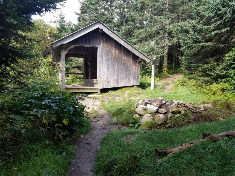
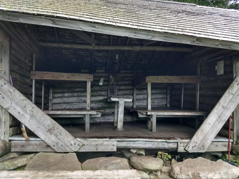
You can picture the bunkhouses if you stand in the right clearing.
Rough timber, narrow bunks, a common room with battered chairs, and the smell of damp wool hanging like weather.
The routes hinged off places like Glastenbury Turnpike traces, with supply wagons grumbling along.
Small inns gathered around crossroads the way light gathers around open doors.
Names drifted and relocated as owners moved with the work up the slopes.
Nothing here felt permanent except the mountain.
Near Somerset Road, close to Somerset Reservoir, you find corridors of trees that could hide a dozen stories.
I look at a mossy ledge and think about porch steps that are gone now.
People would come off days in the forest and listen for news.
Lodges were not resorts, just thin roofs over tired shoulders.
They strung along haul roads and ridges, a practical necklace with missing links.
Every bed held a trail report under the pillow.
The best way to touch that era is to walk slowly and let your eyes adjust to older lines.
Stone foundation, iron spike, a trough sunk into soil.
The past leaves a lot of quiet clues.
This is Vermont history you can almost trip over.
It is not framed behind glass, it is buried under needles and low branches.
If you squint at twilight, the bunkhouse windows light up in your head and fade again.
Disappearances That Shaped Local Lore
Here is where the air changes.
Folks in Vermont still talk about people who walked into these woods and never came back.
The stories cling hardest around the slopes, where trails run like thin threads in a dark coat.
The timeline turns into a blur of names, searches, and unanswered questions.
Hikers vanish from a ridge, hunters step off a line, a guide looks away and then cannot find the next voice.
This is how rumors learn to breathe.
I am not chasing ghosts, but patterns matter in a place like this.
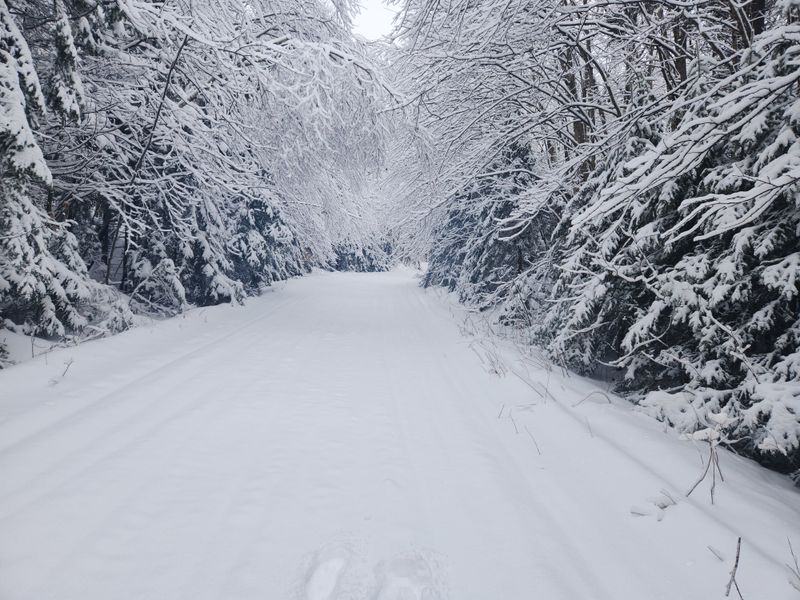
Long stretches of spruce swallow sound, fog falls fast, and the compass of the body tilts.
A wrong turn becomes two.
Drive up to the Long Trail access near VT Route 9, Woodford, and you feel the same hush that raised the old accounts.
The parking area sits like a small island.
The forest presses right to the edge.
What I like to do is say the names out loud, even if no one answers.
It keeps respect in the air.
It reminds you that stories are just trails made of words.
The legend that grew around these disappearances is not about drama, it is about distance and timing.
Vermont mountains reward patience and punish hurry.
Out here, you carry a map, tell someone your route, and do not trust the light to wait.
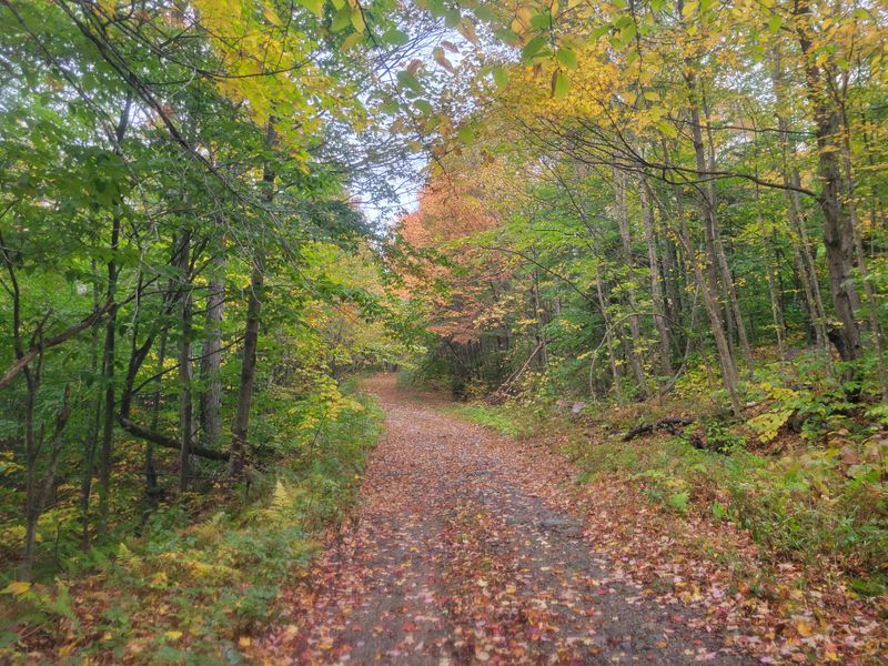
Trails That Drew People Deeper Into The Hills
You know that feeling when a trail sign makes a plan for you?
The Long Trail does that, and the side paths around Glastenbury make the choice feel easy at first.
Start near Route 9 Long Trail Parking, VT Route 9, and the forest swallows your footsteps like a happy secret.
These routes once linked bunkhouses, job sites, and tiny inns with porches that looked at logging cuts.
Trail became road became trail again.
The map still shows the lines, thin but stubborn.
Walk long enough and the woods start repeating themselves.
A spruce stand reappears in a different mood, a brook crosses your ankles twice, and you think you have been here already.
That is how accidents start talking.
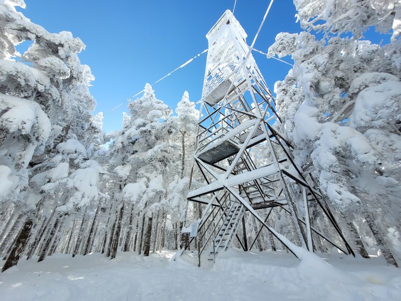
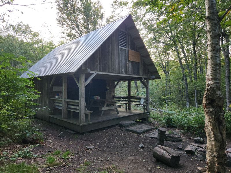
If we keep north, we pass the Glastenbury fire tower spur, a place that feels both welcoming and wary.
The wind slides past the structure and keeps going.
Views arrive and then fold back into weather.
I like the rhythm here.
Step, breathe, look, listen.
The forest will set your pace whether you agree or not.
Trails drew workers and wanderers deeper because directions felt simple and the land seemed to play along.
Vermont knows how to look gentle and stay serious.
Bring a paper map, watch your markers, and treat every junction like a real question.
The Bennington Triangle Takes Form
Someone drew a mental triangle around this region and the name stuck.
Bennington, Woodford, Somerset, all circling a dense middle that swallows paths.
The hub lives near Glastenbury Mountain, where the forest feels layered like folded paper.
Legends need borders.
People wanted a shape to fit the disappearances, scattered sightings, and hard to pin accounts.
A triangle makes a tidy shelf for messy stories.
Drive by the Bennington Center area, Main Street, and the world feels normal and bright.
Head east toward the ridges and the light changes temperature.
The road climbs and your ears pop softly.
I do not buy every tale, but I respect the pattern of caution that comes with the name.
The Bennington Triangle became shorthand for watch your step.
It is a label that warns without explaining.
Maps will not show a red border or blinking sign.
It is a story boundary, not a survey line.
Still, it shapes how locals talk and how visitors walk.
Vermont lore holds tight because the places are real and the woods still stand.
You can trace the triangle with your tires and boots.
By the time you finish, you will understand why people keep telling the same story with new corners.
Why The Buildings And Camps Faded Away
It was not one big moment.
The work thinned, tracks washed out, storms cleaned the slate, and the money went elsewhere.
What stood went soft and then fell.
Picture a small lodge near an old tote road off Somerset Road, serving whoever came down from the ridges.
Season by season, fewer boots hit the porch.
One day the door did not open.
That is how buildings disappear without drama.
Roofs sag, water finds seams, and the second winter decides the rest.
The forest does not hurry but it never stops.
If you poke around near Kelley Stand Road, Stratton, you can spot foundations hiding under ferns like quiet anchors.
Stones keep the footprint after everything else walks away.
They sit patient and comfortable.
Locals remember names that no longer have signs.
Stories fold into the next generation like hand-me-down sweaters.
Warm, familiar, a little stretched, still useful.
Vermont has a way of reclaiming lumber and letting nails rust into soil.
That is not spooky, it is just time doing what it does.
The legend grew because absence leaves room for imagination, and these hills supply the silence.
What Still Remains In The Forest Today
If you want something to point at, it is here.
Old stone walls run like quiet lines through hardwood stands.
I have knelt by iron pins that probably held a frame together once.
Start from the Goddard Shelter approach on the Long Trail, and pay attention to the ground more than the view.
You will see cut marks in rock where tools bit down.
You will notice flat pads that do not belong.
Closer to Kelley Stand Road, a few cellar holes sit squared off under hemlock.
They look like blank rooms in the earth, walls tidy with moss.
Stand there and listen to small things move.
Not everything is obvious, and that is kind of the point.
The remains reward slow walking and a curious eye.
If it looks almost like something, it probably was.
I never touch or lift anything out here.
Take a photo, sure, but leave the pieces where they rest.
Vermont carries its history best when the puzzle stays in place.
The forest today is not a museum with labels.
It is a long conversation made of stones, spikes, and quiet clearings.
If you follow gently, the mountain talks back in a steady voice.
How The Stories Continue To Circulate
The legend breathes best in small rooms.
Think a general store with wood floors and a bulletin board full of trail maps and lost gloves.
Places like the South Shaftsbury area near 1006 VT Route 7A, hold a steady hum of talk.
Someone mentions the mountain and the room nods.
A new hiker asks for directions and gets two versions and a story.
The teller does not lean on spooky, just on memory.
Then the internet picks up a thread and folds it back into town chatter.
You read a post, then drive north, then ask a clerk about road conditions.
That is how modern folklore loops.
If we swing back through Bennington, Main Street, Bennington, the daylight feels like a reset switch.
You grab fuel, check the map again, and decide whether the ridge gets another try.
The city grid puts your feet under you.
What matters is that the stories keep people cautious and curious in equal measure.
They remind you that Vermont is gorgeous and serious at the same time.
The mountains prefer respect over bravado.
So we plan our route, send a pin, and carry patience.
The vanished lodges stay in the narrative even if their roofs are long gone.
Out here, a good story is another kind of trail marker, and it points toward home.
Dear Reader: This page may contain affiliate links which may earn a commission if you click through and make a purchase. Our independent journalism is not influenced by any advertiser or commercial initiative unless it is clearly marked as sponsored content. As travel products change, please be sure to reconfirm all details and stay up to date with current events to ensure a safe and successful trip.