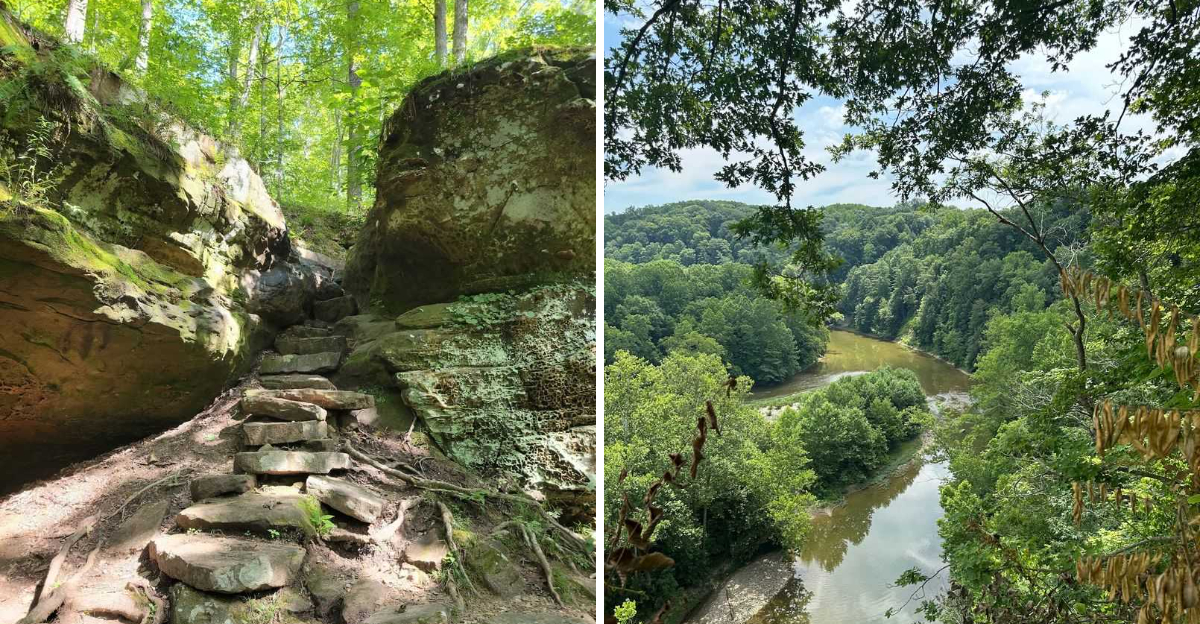
You reach the top expecting to see a few trees and maybe another cornfield. Instead, the forest suddenly drops away, and there is a whole valley stretched out below you.
The biggest surprises are often hiding behind an unmarked road, down a trail that looks completely ordinary, or somewhere beyond a gravel pull-off that barely seems worth stopping for. Then the scenery starts showing off.
Sandstone bluffs rise beside the trail, waterfalls appear after heavy rain, limestone canyons cut through the forest, and old hemlocks make some corners feel strangely far from the Midwest. The views are only part of the reward, too.
Look down and you might find wildflowers tucked between the roots or honeycombed rock hiding beneath the leaves. So bring the boots, save room for a little wandering, and prepare to meet an Indiana that does not look much like the one from the postcards.
1. Pate Hollow Trail Winds Toward Lake Monroe
A tiny door carved into a tree trunk sits near the trailhead, complete with miniature furniture tucked inside. Kids spot it instantly.
Adults usually walk right past.
That small surprise sets the mood for a hike full of quiet discoveries. The route moves through mixed hardwoods where the understory shifts color with every season, from pale spring green to rust and gold by late October.
A brook crossing arrives early, and the sound of moving water makes a natural spot to stop and adjust laces.
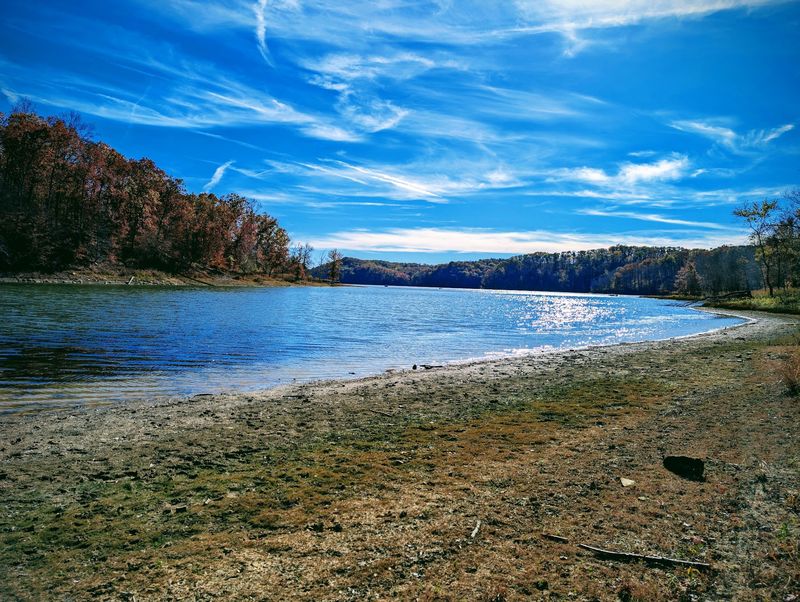
Then the climbing starts. Nothing brutal, just a steady pull uphill that eventually opens toward glimpses of Lake Monroe stretched out below, its surface catching light between tree trunks.
Further on, the path slips into a stand of white pines where the temperature seems to drop a few degrees. Needles muffle footsteps, and the whole section feels hushed compared to the noisier hardwood stretches.
Because the trail forms a loop, the scenery keeps changing rather than repeating on the way back. Hikers get ridge tops, hollows, water, and pine forest all in one outing.
Plan on a solid half day. Bring water, since there are no fill stations along the way, and expect a few muddy patches after rain.
Address: 4850 S State Road 446, Bloomington, IN 47401
2. Terrill Ridge Trail Through The Charles C. Deam Wilderness
Solitude comes easy out here. Much of the route follows an old road bed, which means the walking stays gentle even as the surrounding wilderness feels genuinely remote.
Autumn turns the hardwood canopy into a wash of amber, scarlet, and bronze that seems to glow when sunlight filters through. Spring brings a completely different show, with purple phlox and other wildflowers spreading across the forest floor like scattered confetti.
A small pond appears partway along, still enough to mirror the trees ringing its edge. Sit there a few minutes and the birdsong takes over.
History shows up too. Weathered headstones at a ridge-top cemetery mark families who settled these hills long before the land became protected wilderness, and reading the faded dates adds a strange, quiet weight to the walk.
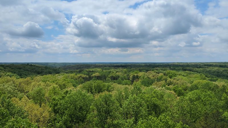
The real payoff sits higher up. Climbing the Hickory Ridge Lookout Tower delivers a full sweep of forested hills rolling in every direction, unbroken by roads or rooftops, which is a rare thing in the Midwest.
Cell service gets patchy, so carry a paper map or download one ahead of time. Sturdy shoes help on the leaf-covered sections.
Go on a weekday and the odds of meeting another hiker drop close to zero.
Address: 811 Constitution Avenue, Bedford, IN 47421
3. Yellowwood Trail Climbs The Bluffs At Trevlac
Two hundred feet of bluff rising above a creek floodplain is not what most people expect from Brown County backroads. Yet here it is, hidden behind a modest roadside pull-off.
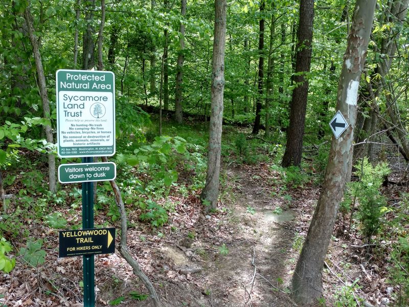
White rectangles painted on tree trunks mark the way, which helps, because the surrounding woods swallow the path in places. The climb builds gradually, switching between rooty stretches and softer soil, until the ground levels out near the top.
A bench waits at the summit. From there the view drops away over forested wetlands where migratory songbirds nest each spring, and the whole floodplain spreads out like a green quilt.
What makes the preserve genuinely unusual is the hemlock. Rare stands of native eastern hemlock grow along these cool north-facing slopes, holdovers from a much colder era, and their dark feathery branches look almost out of place against the oaks and maples.
Sound carries oddly up here. Creek noise rises from below while wind moves through the evergreens overhead.
Parking is limited to the roadside near the marked trailhead, so arriving early on weekends makes life easier. Wet weather turns the descent slick, and trekking poles earn their keep.
Birders should absolutely bring binoculars.
Address: From Unionville, follow State Road 45 east for 6.5 miles to Old State Road 45, on the right just before the Beanblossom Creek bridge, then turn right and go 0.2 miles to the marked trailhead.
4. Browning Mountain And Its Puzzling Stone Slabs
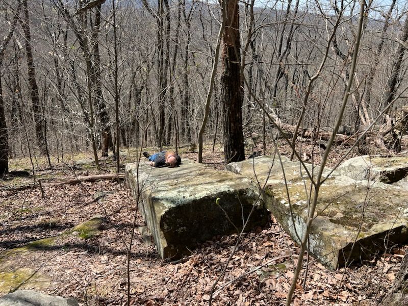
Locals call it Indiana’s Stonehenge, and the nickname sticks for good reason. Massive slabs of limestone and sandstone, some roughly the size of a car, sit scattered across the hilltop in arrangements nobody has fully explained.
Getting there takes a bit of navigation down country roads past a split-rail fence, which already makes the trip feel like a treasure hunt. The climb itself is short but steady, gaining elevation through woods thick with old growth.
Shade covers nearly the entire route. Even on hot afternoons the forest floor stays cool and dim.
Near the summit, curiosities keep appearing. A secluded pond sits in a hollow, the remains of an old well hide among the leaves, and a crumbling building foundation hints that people once lived up here, long before hikers came looking for mysterious rocks.
Theories about the boulders range from glacial deposit to human arrangement, and honestly, the debate is half the fun. Standing among them, scale becomes hard to judge.
Beyond the stones, gaps in the canopy open onto wide views of Brown County ridgelines folding into each other.
Bring a friend, watch footing around the slabs, and skip the visit after heavy rain when the access road turns messy.
Address: Take State Road 135 South, turn right at Stone Head, continue straight onto Elkinsville Road past Story Inn, then turn left onto Combs Road.
5. Fork Ridge Trail And Its Valley Overlooks
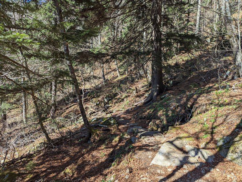
Winter might be the best time to walk this one. With leaves down, the forest opens up and long-distance views appear where summer offers only green walls.
The trail runs in two directions from a single starting point, and the northern half draws most of the attention. Several overlooks along that stretch reveal the valley below, a wide basin of rolling terrain that seems to go on much farther than a state known for cornfields should allow.
Hikers only, no horses or bikes, which keeps the tread narrow and quiet.
Odd rocks show up along the way. Pockmarked stones known locally as Hominy Mortar sit near the path, their surfaces dimpled with shallow bowls that look almost hand-carved, though nature did the work.
Head south instead and the character changes completely. That section rambles along a wooded ridge top with fewer views but deeper quiet, ideal for anyone who wants thinking space more than photo stops.
Old forest surrounds most of the route, and the sense of depth is real. Trees grow tall, undergrowth stays sparse, and sound gets absorbed.
Pack a lunch and claim an overlook. Sunset lighting on the valley is worth the extra hour of daylight planning.
Address: 811 Constitution Avenue, Bedford, IN 47421
6. Pinnacle Peak Rewards A Serious Climb
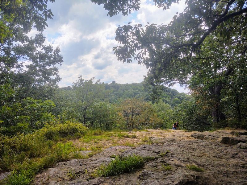
Legs will complain. That is the honest truth about the climbs leading up to these knobs, where the grade steepens fast and switchbacks feel like a luxury someone forgot to include.
The effort buys something rare in Indiana though. From the top, roughly eighteen thousand acres of state forest spread outward in overlapping waves of timbered hills, and on clear days the ridgelines fade into blue haze at the edges.
There is a satisfying kind of tired that comes with reaching an overlook like this.
Wildlife activity stays high throughout the surrounding woods. Deer move through the lower hollows, hawks ride thermals above the knobs, and spring migration brings a steady stream of warblers into the canopy.
Terrain varies more than expected. Loose rock appears on some descents, root staircases show up on others, and a few sections require using hands for balance.
Early morning starts help in summer, since the exposed ridge sections catch full sun and shade disappears near the top.
Anyone training for bigger mountain hikes elsewhere will find this a genuinely useful workout close to home. Fall color season packs the overlooks with photographers, so a weekday visit keeps things peaceful.
Carry more water than seems necessary.
Address: 1278 E State Road 250, Brownstown, IN 47220
7. Hemlock Cliffs Feels Like A Southern Indiana Rainforest
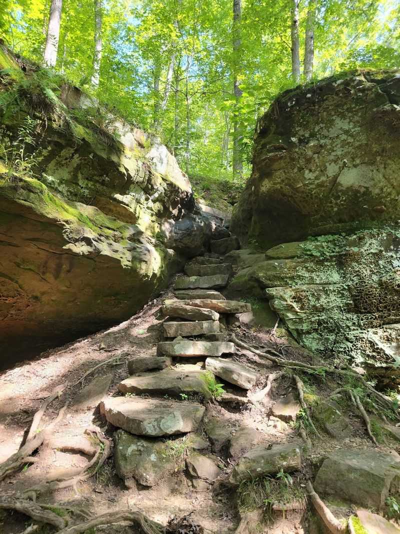
Cool air hits first. Dropping into this box canyon means the temperature falls noticeably, and the change is enough to make a sweaty hiker pause and grin.
Sandstone bluffs tower along both sides, shaped over unimaginable stretches of time into overhangs, ledges, and shadowy rock shelters. Some walls carry a honeycombed texture, pitted and pocked from weathering, and running a hand across the surface feels like touching coral.
Seasonal waterfalls spill over the rim after rain or snowmelt. Catch the timing right and water threads down the cliff face in ribbons.
Eastern hemlocks anchor the whole scene. These trees usually belong much farther north, but the shaded, moisture-heavy canyon creates a microclimate cool enough for them to thrive, alongside ferns and thick cushions of moss.
The loop covers about a mile, which sounds easy until the stairs and rocky descents show up. Take the time it deserves rather than rushing through.
Photographers love overcast days here, since even light keeps the green tones rich and avoids blown-out highlights on pale sandstone.
Spring visits deliver the strongest waterfall flow. By late summer, the falls may slow to a trickle, though the rock formations remain every bit as strange and beautiful.
Waterproof footwear is a smart call.
Address: Hatfield Road, English, IN
8. Ed Dailey Nature Trail Links Two Waterfalls
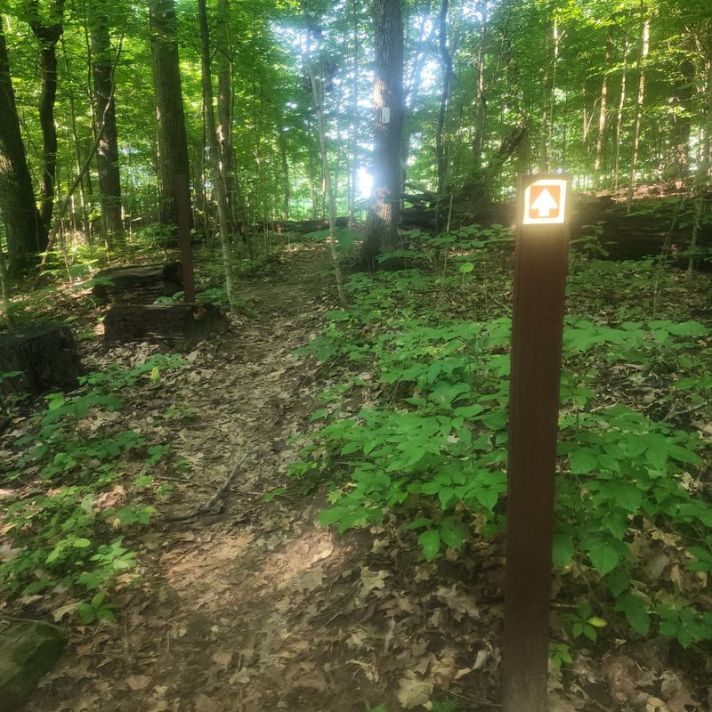
Two waterfalls, one loop, and a red covered bridge thrown in for good measure. Few Indiana hikes pack that much variety into such friendly terrain.
The trail links the upper and lower cascades while wandering through forestland where old trees stretch high enough to form a full canopy overhead. Light filters down in patches, and in spring the ground beneath fills with wildflowers in pink, white, and pale yellow.
Mill Creek guides the route. The water moves quietly in stretches, then gathers speed and drops hard over limestone shelves.
After heavy rainfall the falls transform completely, turning loud and powerful, throwing mist into the air. Summer visits show a gentler version, with clear pools and easier footing along the banks.
That covered bridge deserves a stop. Its weathered red boards frame the creek nicely, and it makes an obvious spot for a snack break.
Footing near the water gets slippery, especially on wet rock, so caution matters most where the views are best. Otherwise the walking stays manageable for most ability levels, including families with younger kids.
Each season rearranges the mood here. Ice formations in winter, wildflowers in spring, deep shade in summer, and color overhead come autumn.
Address: 1317 W Lieber Rd, Cloverdale, IN 46120
9. Trail 3 Descends Into McCormick Creek Canyon
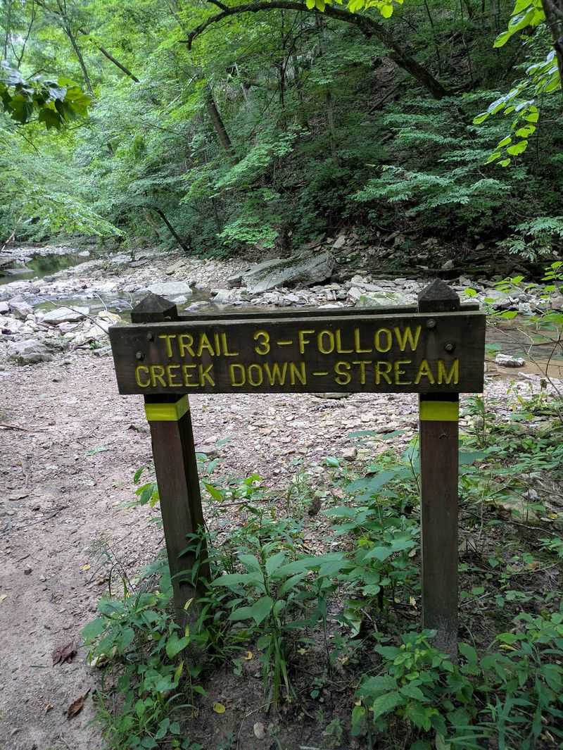
Rock-hopping is basically the whole point of this route. The path drops into a limestone canyon and follows a rocky creek bed where boots get wet and balance gets tested.
Walls of pale stone rise on either side, layered like stacked pages, carved patiently by water that still runs through the bottom. The canyon holds its own cool, damp air, and voices echo in a way that makes conversation feel oddly amplified.
No bridges exist along this stretch. That detail matters a lot.
When creek levels rise after storms, sections become impassable and the smart move is turning around rather than pushing through. Check conditions before setting out, especially in early spring.
The destination makes the scramble worthwhile. The falls tumble over broad limestone ledges, and an observation deck offers a clean view while a set of stairs leads down closer to the water’s edge for anyone wanting spray on their face.
Wildlife shows up regularly in the quieter upstream sections, from kingfishers darting along the creek to salamanders under damp stones.
Wear shoes that can handle getting soaked and grip wet rock. Leave the phone in a pocket during the trickier crossings.
Allow extra time, since the terrain slows even experienced hikers down.
Address: 250 McCormick’s Creek Park Road, Spencer, IN 47460
10. Cave Loop Trail Explores Spring Mill Karst Country
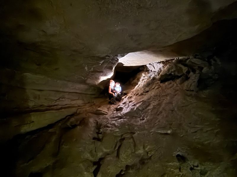
Underground water shaped everything here, and the surface shows it. Sinkholes dot the woods like shallow craters, each one a place where the ground quietly gave way into limestone below.
The loop winds through wooded ravines and karst terrain, climbing and dropping enough to keep things interesting without demanding technical skill. Roots and rock make up much of the tread.
Three cave entrances punctuate the route. Twin Caves, Bronson Cave, and the wide dramatic mouth of Donaldson Cave each have their own personality, and cold air pouring out of them on a warm day is genuinely startling.
Above ground, the forest holds its own claim to fame. Stands of old-growth timber include trees pushing past three hundred years, trunks so wide that two people linking arms still cannot reach around them.
Standing beneath that canopy puts the scale of time into perspective fast.
Wildlife thrives in the mix of ravine and ridge, from barred owls calling at dusk to bats emerging near the cave openings during warmer months.
Cave interiors have access restrictions tied to bat conservation, so respect posted closures and stick to the marked path. Footing near entrances stays damp year round.
Combine the hike with the park’s other trails for a full day outdoors.
Address: 3333 State Road 60 East, Mitchell, IN 47446
11. Shades State Park Trail 2 And The Ravine Route
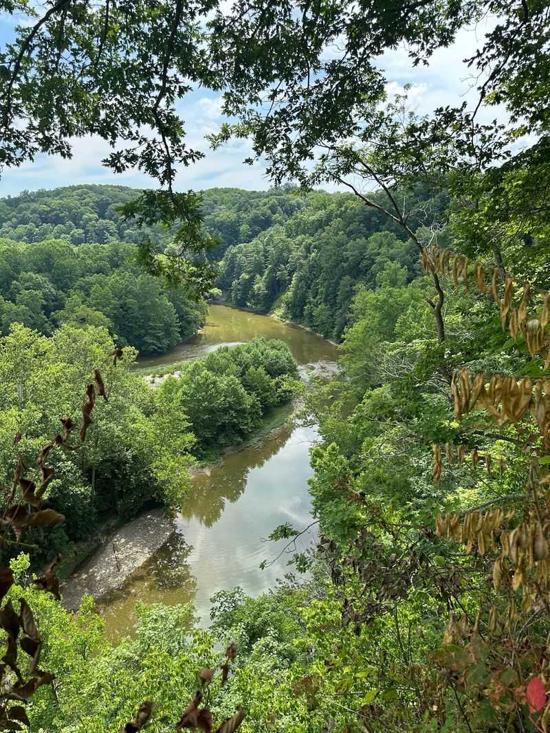
Ladders and staircases bolted into rock walls give this hike an adventurous edge that surprises first-timers. It plays out more like a canyon scramble than a woodland stroll.
The route heads first toward Lover’s Leap, where sandstone cliffs drop toward Sugar Creek and the water bends far below in a wide green curve. Wind moves along the rim, and the drop-off commands respect.
From there, the Steamboat Rock stairs deliver hikers down into Pearl Ravine.
Walking the streambed means stepping between shallow water, mossy stones, and shaded walls that block most of the sky. High water can close the ravine entirely, so checking conditions ahead of a visit prevents disappointment at the bottom of a staircase.
Maidenhair Falls appears along the way, a slender cascade slipping over rock into a small pool. Modest in size, memorable in setting.
Looking down into the formation known as the Devil’s Punch Bowl adds another odd geological twist to the day, its bowl-shaped hollow carved by centuries of runoff.
Beech, oak, and tulip trees fill out the upper forest, their trunks straight and tall above the ravine system. Fall color arrives strong here.
Expect wet feet, take the metal steps slowly, and give the ravine section plenty of unhurried time.
Address: 779 State Road 234, Waveland, IN 47989
