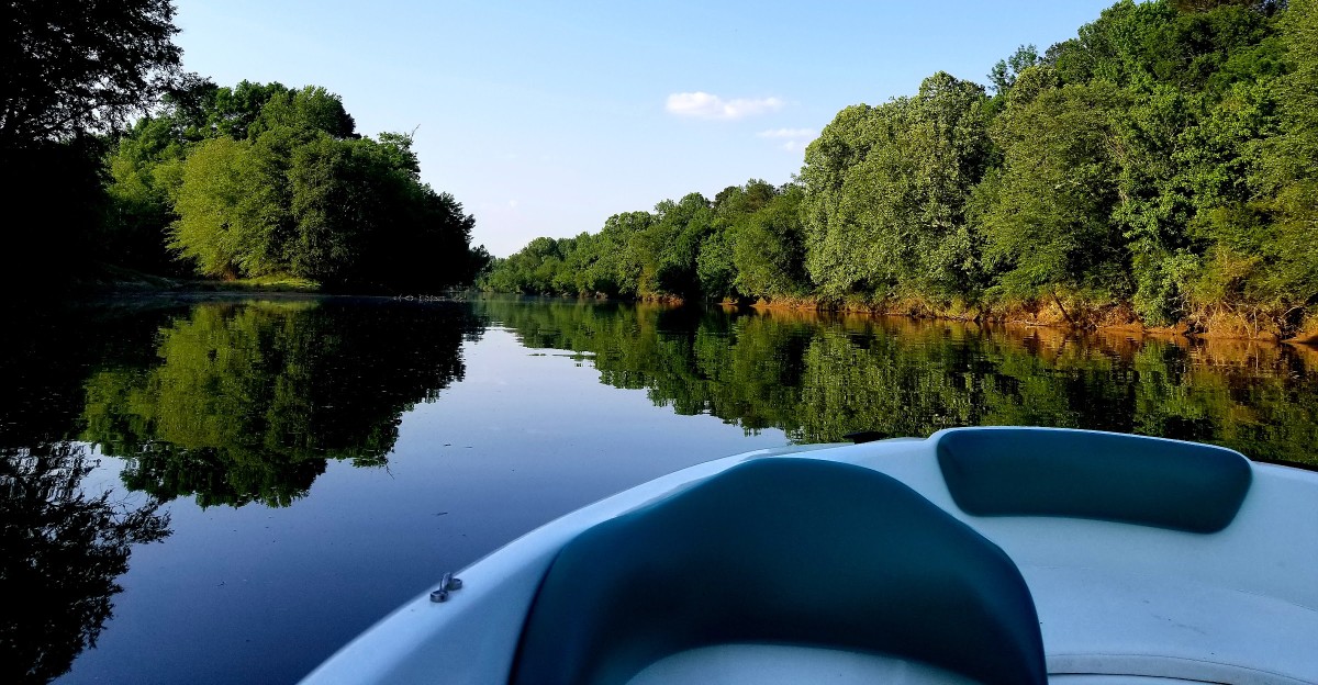
The salamander has a terrible commute. It cannot simply move somewhere else.
Its entire world is one river watershed. That is what makes this Alabama landscape so unusual.
The Black Warrior waterdog lives only within this one vast system of rivers and streams, meaning the cool rocky water is not just scenery. It is home.
Meanwhile, the surface is busy with waterfalls, hiking trails, paddling routes, ancient mounds, and towns along the river. The watershed covers more than 6,000 square miles, but for this salamander, there is no broader map.
Everything depends on the streams it already knows. A place can be enormous to humans and still be a very small world for the animal living beneath the water.
Meet the Waterdog With Feathery Red Gills
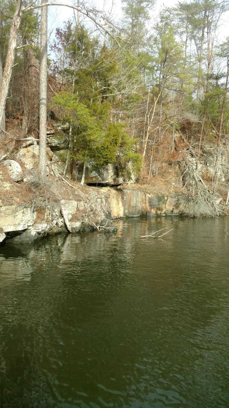
Picture a salamander that never bothered to grow up. The Black Warrior waterdog keeps its bushy red gills for its whole life, waving them in the current like tiny feather boas.
Scientists call it Necturus alabamensis, and it lives nowhere else on the planet except streams of the Black Warrior River basin.
Adults stretch to around eight inches long, with a flat body and a broad, shovel-shaped head. That flat shape is handy.
It lets the waterdog squeeze into rock cracks, slide under sunken logs, and tuck itself into piles of soggy leaves during the day.
Night is when the action happens. The waterdog creeps along the stream bottom hunting small insects, snails, and other critters that drift past.
Because it is shy, nocturnal, and very good at hiding, most people who live near these streams have never seen one.
The species is listed as endangered under the Endangered Species Act. It needs cold, clean water, steady stream beds, plenty of rock crevices, and leaf litter to survive, so muddy runoff and pollution hit it hard.
Visitors can help without ever spotting one. Stay on trails near creek banks, avoid flipping rocks in streams, and pack out every scrap of trash.
Supporting local river groups is another easy way to protect this odd little hometown celebrity, and few animals have a better claim to being one of a kind.
Mussels, Crayfish, and 146 Kinds of Fish
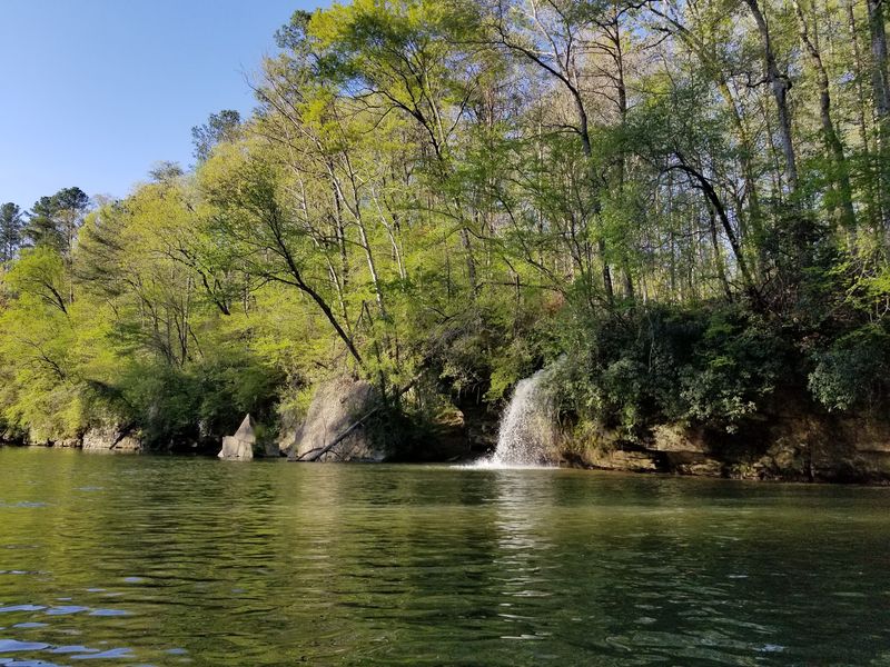
Numbers tell the story here better than any brochure. The Black Warrior River basin supports 146 freshwater fish species, 36 mussel species, 33 crayfish species, and 15 types of turtles.
That is a lot of neighbors for one river system.
Alabama as a whole leads the country in freshwater fish, crayfish, mussels, turtles, and snails. The Black Warrior basin is a big reason why.
Its waters begin as rocky, fast creeks on the Cumberland Plateau, tumble through the Fall Line Hills, and slow down into sandy, winding stretches on the East Gulf Coastal Plain.
Each of those zones creates a different kind of home. Cold riffles suit darters and crayfish, while calmer pools and soft bottoms work better for mussels and turtles.
Several species found here are federally listed as endangered or threatened, which shows how delicate the balance really is.
Above the surface, the show keeps going. Great blue herons stand like statues in the shallows, and great egrets flash bright white against green banks.
Bring binoculars and some patience.
A simple creek walk can turn into a small science lesson. Look for crayfish burrows along muddy edges, turtles stacked on sunny logs, and tiny fish darting in clear water.
Kids tend to love this kind of treasure hunt, and adults usually get hooked too.
Leave shells and critters where they are found. Many mussels here are rare, and every one matters.
Earthen Mounds and a Lost City at Moundville
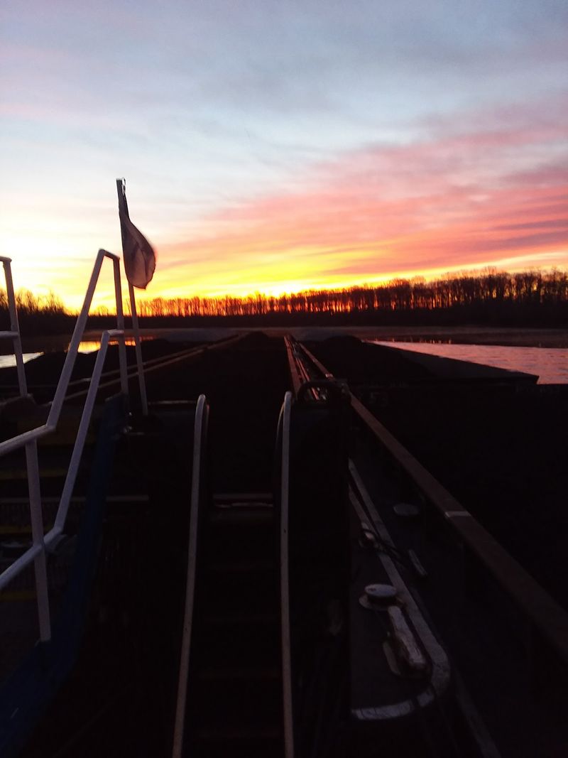
Long before Alabama had a name, a busy city rose on a bluff above the Black Warrior River. From about A.D. 1000 to 1450, Moundville was a major ceremonial and political center of the Mississippian culture, second in size only to Cahokia in Illinois.
Today that story is preserved at Moundville Archaeological Park, found at 634 Mound State Parkway in Moundville, Alabama. The grounds cover 185 acres and hold 29 earthen platform mounds arranged around a wide central plaza.
Some of those mounds once held homes for noble families, while others supported buildings used for ceremonies and burials.
The scale is hard to grasp from photos. Up close, the mounds rise from the grass like green, flat-topped hills, and the open sky above them makes the whole place feel calm and roomy.
Paved paths loop around the plaza, so exploring is easy for most visitors.
Inside the Jones Archaeological Museum, life-size figures wear traditional ceremonial clothing and jewelry. Pottery, artwork, and handcrafted objects found during excavations fill the displays.
Short videos and stories help explain daily life, trade, and beliefs of the people who built all this.
After the museum, the half-mile boardwalk nature trail offers a quieter angle. It winds through shady woods with glimpses of the mounds between the trees.
Wear comfortable shoes, keep the pace slow, and try to linger until sunset turns the mounds gold.
Locust Fork Rapids and Lazy Lake Days
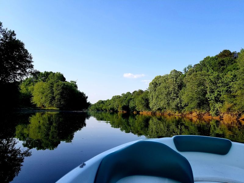
Some rivers ask visitors to relax, and some ask them to hold on tight. The Black Warrior watershed somehow does both, which may explain why Boating Magazine once called it one of America’s best-kept boating secrets.
On the main river, a chain of locks and dams creates wide, calm lakes such as Holt Lake, Bankhead Lake, and Warrior Lake. These stretches are made for cruising, water skiing, wakeboarding, and fishing.
Summer afternoons here often come with the hum of motors and the splash of skiers carving across the water.
Up in the free-flowing tributaries, the mood shifts. The Locust Fork drops more than 500 feet through Blount County, building rapids that can reach Class IV during higher water.
Whitewater kayakers treat it like a playground, and the Alabama Cup Canoe and Kayak Races bring paddlers from around the region.
The Mulberry Fork offers long, scenic stretches for paddlers who prefer a mellower pace. Smaller streams like Five Mile Creek in Jefferson County are popular spots for shorter, easier floats.
Either way, the scenery changes with every bend.
A few smart habits make any trip better. Check water levels before launching, since rain can turn a gentle run into a serious one fast.
Always wear a life jacket, and tell someone the planned route and return time.
Pack snacks, sunscreen, and a dry bag for phones. Early mornings bring glassy water and misty coves that feel almost magical.
Trails, Canyons, and a Thousand Waterfalls
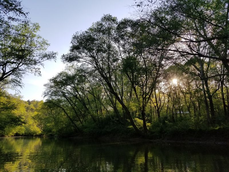
Rain is usually bad news for a hike, but in Bankhead National Forest it can be the best news of the week. After a good storm, water pours off sandstone ledges everywhere, which is how the forest earned its nickname, the Land of a Thousand Waterfalls.
Trails here wind past odd rock formations, mossy boulders, and steep canyon walls. Most paths are rated easy to moderate, so families and casual hikers can enjoy them without feeling like they signed up for a boot camp.
Ferns and wildflowers line many routes in spring, while fall paints the hardwoods orange and red.
Hikers wanting a longer challenge often tackle a 13-mile loop that links Trail 204 and Trail 209 in the Sipsey Wilderness. Twelve established trails crisscross that wilderness area, giving plenty of room to explore.
Sinkholes and small caves pop up along the way, adding a little mystery.
Beyond the national forest, other spots in the watershed deserve a look. Hurricane Creek Park in Cullman offers rugged trails beside a rocky creek.
Rickwood Caverns State Park mixes woodland paths with an underground cave world.
Plan ahead for a smoother day. Trail maps, sturdy shoes with good grip, and plenty of water are musts, since rocks near falls can get slick.
Cell service fades in deep hollows, so download maps before heading out.
Birdwatchers, keep your ears open. Woodpeckers drum and songbirds chatter from the canopy.
Alabama’s Only Wild and Scenic River
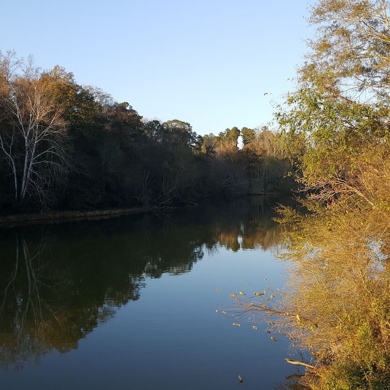
Only one river in Alabama carries the federal Wild and Scenic River label, and it runs through this watershed. The Sipsey Fork earned that title for a 61-mile stretch above Lewis Smith Lake, and the designation is the strongest protection the nation gives to free-flowing rivers.
So what does that look like in person? Towering sandstone bluffs, some rising 30 to 100 feet, hem in the water on both sides.
Hemlocks and hardwoods cling to the ledges, and side streams spill over the rock in thin, silvery curtains.
The river’s headwaters begin inside the 24,962-acre Sipsey Wilderness, deep within Bankhead National Forest. Because the area is protected, there are no roads cutting through the core and no buildings along the banks.
Sounds are simple here, mostly moving water, wind, and the occasional kingfisher rattling past.
Photographers tend to lose track of time in these gorges. Soft morning light slides down the cliffs, while shaded pools reflect the colors of the canopy.
A wide-angle lens helps capture the height of the bluffs.
Backpacking is a favorite way to experience the Sipsey Fork, with primitive campsites tucked along the trails. Canoeing and kayaking are popular when water levels cooperate, especially after spring rains.
Hidden caves and rock shelters reward curious explorers who move slowly and look closely.
Leave No Trace rules matter more in a wilderness like this. Pack out everything, camp on durable ground, and let the wild stay wild.
Egrets, Rowers, and River Town Charm in Tuscaloosa
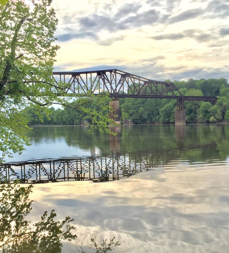
Here is a fun bit of trivia to share on the drive in. Tuscaloosa takes its name from Chief Tushkalusa, whose name is often translated as Black Warrior, so the city and the river are basically namesakes.
The Tuscaloosa Riverwalk is the easiest way to soak it all in. Miles of paved trail follow the water, perfect for walking, jogging, biking, or pushing a stroller.
Egrets hunt along the edges, and sometimes University of Alabama rowing teams glide past in long, narrow boats.
Keep going on the Western Riverwalk, a newer section that stretches toward Oliver Lock and Dam. It leads to Oliver Fishing Pier Park, a handy spot to cast a line or just watch barges and boats move through the lock.
History lovers have plenty to chew on too. The Mildred Westervelt Warner Transportation Museum, set at the historic Queen City Pool site, explains how the river shaped the growth of the city.
The Black Warrior River Scenic Byway, a 12-mile urban route, points out historic markers and ruins, including the site where the Alabama State Capitol stood from 1826 to 1847.
Across the water, Northport adds its own small-town flavor with shops and friendly community events. Its 4th on Main Celebration ends with fireworks sparkling over the river.
Plan an evening stroll along the banks after a day in the wild. Streetlights flicker on, the river glows, and the trip feels complete.
