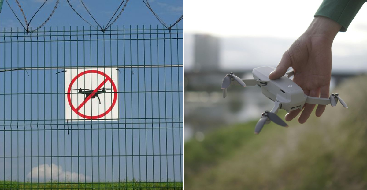
Have you ever packed your drone for a trip, only to realize you have no idea what the local rules are? That’s exactly the situation many visitors face when they land in Georgia.
At first, it seems simple: charge your batteries, find a scenic spot, and fly.
But once you start digging into the regulations, things get confusing fast. Georgia has its own set of drone laws that don’t always line up with what travelers are used to back home.
Some rules feel vague, others are surprisingly strict, and the mix of federal and state guidelines can leave you second-guessing every flight.
I’ve seen people get excited about capturing the mountains or historic towns, only to spend more time worrying about paperwork than enjoying the view.
If you’ve ever felt that frustration, you’re not alone. The truth is, Georgia’s drone laws aren’t impossible to follow.
They just take a little extra patience and planning. So let’s break down why visitors struggle, and how you can avoid the same headaches.
1. Federal And State Rules Overlap Constantly
Here is the part that trips up almost everyone. You have to start with the FAA, because federal airspace rules sit at the top and never move.
Then Georgia adds its own layers, and counties or cities might stack on even more.
So when you roll into a small town and see a wide green field, you still have to think about controlled airspace and FAA guidelines first.
Recreational flyers are held to that standard whether they are near Atlanta or a quiet stretch of countryside. State and local rules cannot cancel federal requirements.
What throws visitors is the assumption that state law wins on state land.
It does not, because airspace is federal, and launches or landings can be restricted separately by property rules.
That split is where confusion lives, and it is why planning a flight takes a few minutes of research.
I like using official FAA apps to check airspace, then I look up the local jurisdiction for any special notices. It feels slow at first, but it saves hassle later when a ranger or officer asks questions.
Once you get the rhythm, it becomes part of the preflight ritual.
2. Historic Areas Are Heavily Restricted
Historic districts look inviting, and Savannah proves it. The cobblestones, the squares, the layered balconies all feel photogenic from the air.
Then you run into restrictions that treat these streets like protected artifacts.
Crowds gather quickly here, and narrow corridors complicate flight paths. Preservation guidelines make sense once you picture props near old masonry and tree canopies.
In many places, launching or landing needs permission even if you think the sky itself is free.
Visitors often assume that outdoor space equals allowed, but historic zoning says otherwise.
You might see a tour group, a quiet corner, or an open square, and still find the rules say no. It is less about the drone and more about protecting the setting and the people walking through it.
When I plan routes through Savannah, I check city resources before even packing the drone. If the rules are tight, I pivot to ground photography and save the battery for another stop.
The shot you had in mind is not worth a citation or a stern conversation.
The state takes pride in these areas, and enforcement tends to reflect that. It is not just Savannah either, since other historic town centers can operate similarly.
If you want to fly, scout edges outside the designated zones, and confirm that both launch sites and overflight paths are legal.
3. State Parks Prohibit Recreational Drones
Georgia State Parks look wide open from the trailhead. Lakes shimmer, overlooks call out, and every ridge feels like a shot waiting to happen.
Then the rule hits: recreational drones are generally not allowed without written authorization.
That catches visitors off guard because the landscape feels like a free pass.
Even when a launch spot seems harmless, the park can still say no to protect wildlife and visitor experience. Rangers do enforce it, and that conversation can end your day.
You can keep it simple and plan your flying outside park boundaries. A scenic pullout on a public road or a legal launch near private land can solve the itch.
You still need to watch for airspace rules, but at least you are not breaking park policy.
Some folks ask whether a quick hop is fine if no one is around. The answer is usually no, because the rule applies whether a crowd is present or not.
Written permission is the route if you think your purpose might qualify.
Hike the trail, pocket the drone, and enjoy the view with your own eyes, then fly later somewhere that welcomes it.
You will keep the trip calm and the memory stress free, with no awkward chat at the trailhead.
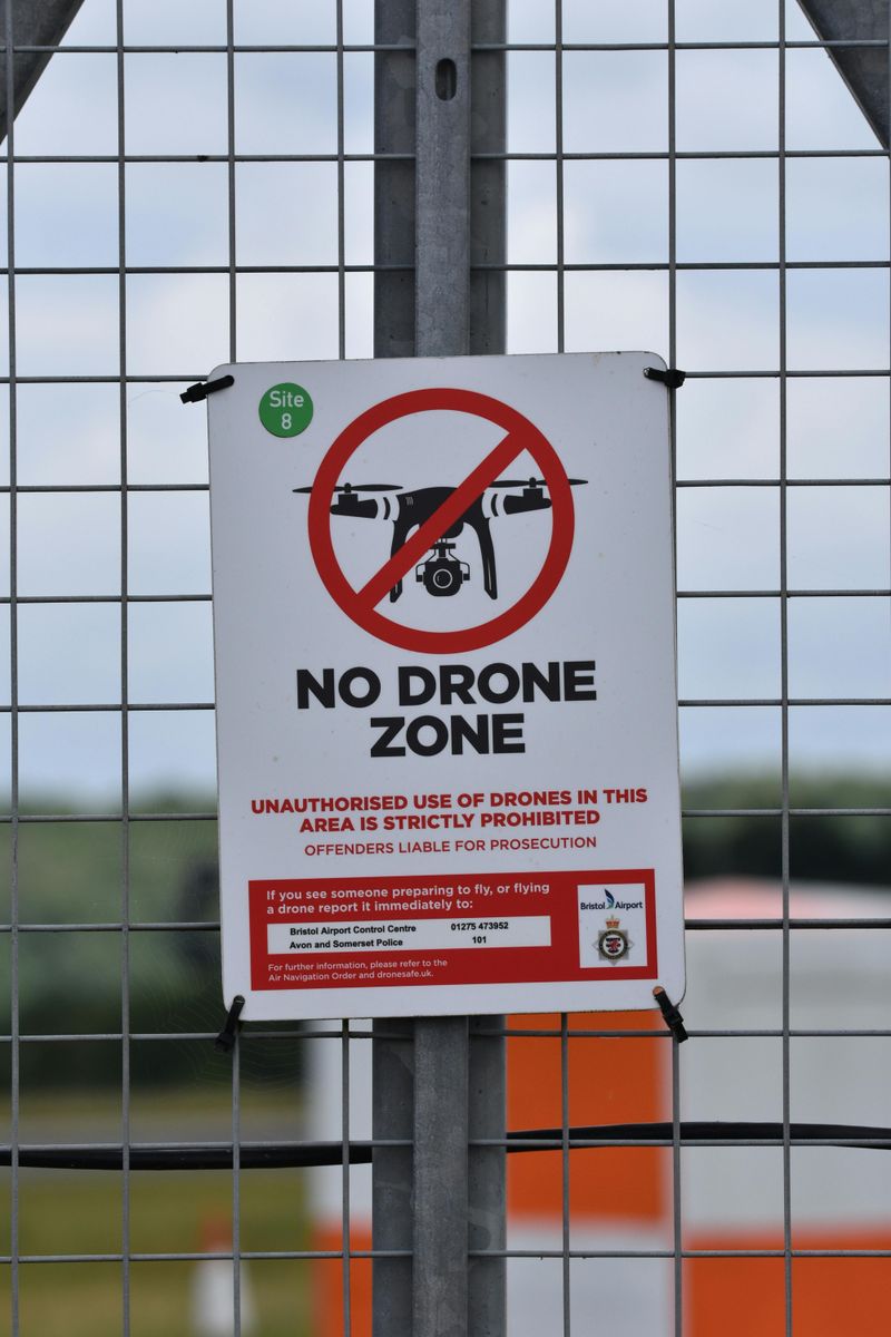
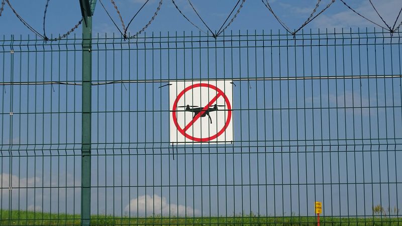
4. National Parks Are A Total No-Fly Zone
Here is the hard stop that many people miss. National Park Service lands do not allow drone launches or landings, and that policy is consistent across the system.
Even places labeled as recreation areas fall under the same umbrella.
Chattahoochee River National Recreation Area is the example I keep in mind while driving around the state. The scenery is gorgeous, the river bends, the quiet trails all beg for a flyover.
Still, the rule remains firm, and there is no casual exception for a quick clip.
Visitors often confuse national recreation areas with state parks, thinking the name means relaxed rules. It does not, and the signage can be small or easy to miss in the parking lot.
The safest move is to leave the drone in the bag on federal park land.
If you really want those aerial frames, plan to fly from a legal area outside the boundary.
You must still avoid taking off or landing within the park, and respect any related airspace considerations. That line on the map matters more than people realize.
Georgia has plenty of non-federal spots where careful flying works fine. Save the Park Service sites for hiking and quiet time, and capture the vibe from the ground.
The trip feels smoother when you stop trying to push against a rule that does not budge.
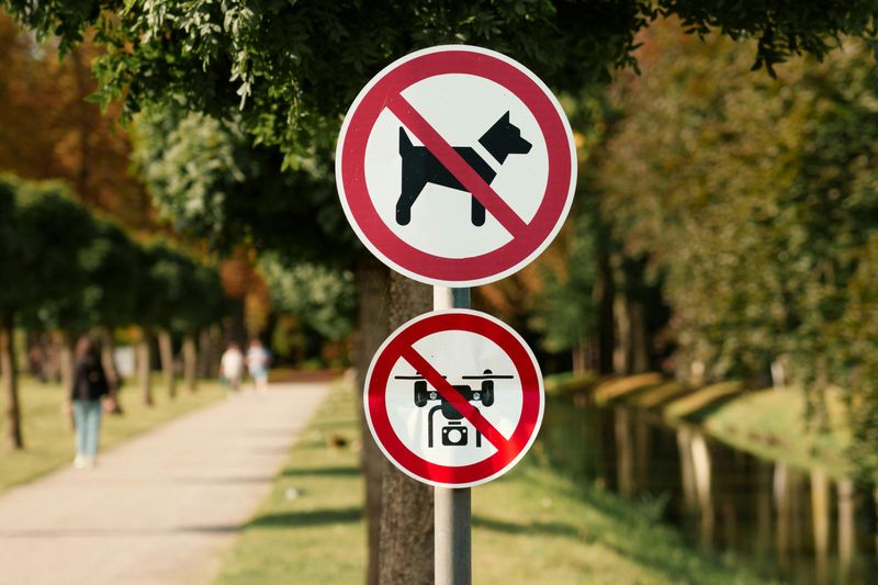
5. Local Governments Add Their Own Limits
Local rules here can be the twist you did not expect. A beach town might restrict flights near busy boardwalks, while a city center sets limits around plazas.
These rules can change with seasons, events, and safety planning.
I have learned to check city or county pages before launching anywhere downtown.
Some places publish maps that show where drones cannot fly or where permits are required. It is not always obvious, and a few minutes online beats a warning on the street.
The variation is wide, which is part of the challenge. One town welcomes careful recreational flights, and the next bans launches on public property.
It is not personal, just a safety call shaped by crowds and infrastructure.
When rolling through the state, I save a list of local police or city clerk contacts. A quick call can confirm whether a temporary restriction is active near a waterfront or square.
Those little checks keep the plan nimble when the scene looks busy.
If you show up and see event fencing or a big gathering, assume tighter rules even if you did not read them yet. Find an alternate spot or wait for a quieter window.
That habit will protect both your footage and your nerves during the trip.
6. Private Property Does Not Mean Automatic Permission
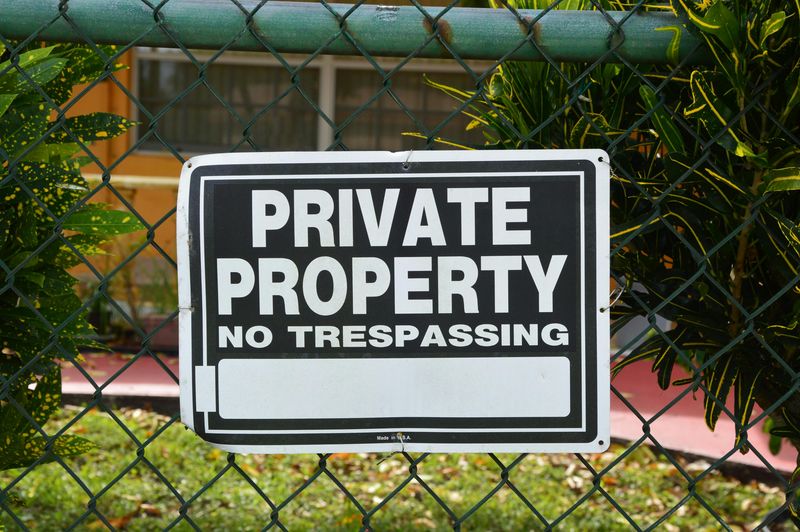
Flying over private land sounds simple until you think about privacy. Even if the launch is legal, the flight path can still create issues.
Georgia recognizes privacy and nuisance concerns that reach beyond the exact property line.
That means your drone might be the problem even when it never touches a yard. Hovering near windows, lingering above gatherings, or tracking a vehicle can be viewed as intrusive.
Visitors sometimes assume permission from one owner covers the whole sky.
It helps to plan routes that avoid extended time over homes. Keep altitude responsible, avoid hovering, and do not trail anyone.
If a landowner asks you to move along, it is usually smartest to shift without debate.
When I map a flight, I think about what it would feel like from the ground. Would I be comfortable with a camera sitting above my roof?
That gut check usually points me in the right direction and keeps neighbors relaxed.
Trips are more fun when you treat private spaces with extra care. You will still get the shots you want, just from angles that respect people living their day.
It is a small adjustment that makes the difference between a smooth flight and a tense conversation.
7. Wildlife Protection Laws Are Strict
Wildlife and drones do not mix well, especially along the Georgia coast and in wetland zones. The law focuses on preventing disturbance, and drones can trigger stress quickly.
Even a hover that feels gentle from the controller might be disruptive on the ground.
Nesting areas, rookeries, and sensitive habitats raise the stakes. If birds flush, you already went too far, and enforcement can follow.
The safest plan is to keep a wide buffer and avoid known habitat spots altogether.
I like to research wildlife maps before a coastal drive. Agencies often mark seasonal closures and sensitive corridors, which helps set smart boundaries.
It is easier to choose a different angle than to justify a close pass later.
Remember that disturbance is not about intent. A brief pass at the wrong moment can still count, and it is the effect that matters.
Play it conservative, and let the animals go about their rhythm without a camera buzzing overhead.
Shots from farther out often look calmer and more cinematic, with space for the landscape to breathe.
You leave with a clean conscience and a memory that feels good to replay.
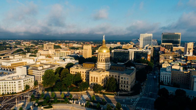
8. Airspace Around Cities Is More Complicated Than It Looks
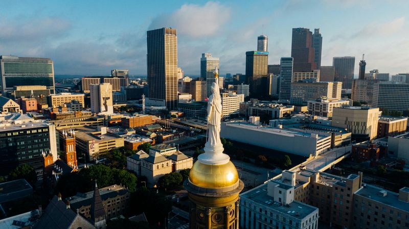
Metro airspace can surprise you, and Atlanta is the classic example in Georgia. Major airports shape controlled zones that extend well beyond the runways.
A short recreational flight could need authorization even when you are miles away.
The fix is really simple: check an FAA approved app before you unpack the drone. Those maps show grids, ceilings, and request tools that make the rules usable.
You can often secure permission digitally when the system allows it.
I like to scout rooftops and parks that sit in legal blocks. If the app shows a ceiling, I set my limit and stay inside it.
When the answer is no, I hop to the next grid instead of trying to force it.
Other Georgia cities have their own layers tied to smaller airports and heli operations. You might not see a jet, but the sky can still be controlled.
That invisible structure is what catches visitors who rely on vibes instead of data.
Use the tools, and the city becomes friendlier to drones. You will spend less time guessing and more time capturing what brought you there.
It turns the airspace maze into a guided route you can follow calmly.
9. Penalties Are More Serious Than Expected

The consequences surprise travelers more than the rules themselves. Fines, equipment confiscation, and federal referrals can enter the chat when flights go sideways.
Authorities coordinate with federal agencies when needed, and that gives the situation real weight.
I would rather lose a shot than risk losing the gear.
That simple choice keeps trips peaceful and budgets intact. It is amazing how much stress disappears when you decide to play the long game.
Before each launch, I ask what could go wrong here. If the answer includes crowds, wildlife, or unclear airspace, I move on.
Another location is always waiting down the road.
The goal is not to fly everywhere. It is to fly in the right places and leave with a clean slate.
Georgia has plenty of them once you learn where they hide in plain sight.
Think of compliance as part of the craft. You fine tune settings, frame the light, and also read the rules.
Do that, and you will enjoy the road, the shots, and the quiet confidence that comes with doing it right.
Dear Reader: This page may contain affiliate links which may earn a commission if you click through and make a purchase. Our independent journalism is not influenced by any advertiser or commercial initiative unless it is clearly marked as sponsored content. As travel products change, please be sure to reconfirm all details and stay up to date with current events to ensure a safe and successful trip.