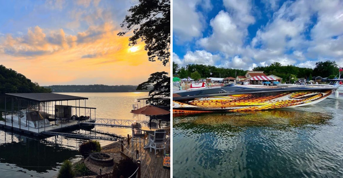
The water looks calm on a summer afternoon. Boats crisscross the surface. Families splash near the docks. But beneath that peaceful blue, entire communities sit in cold, dark silence.
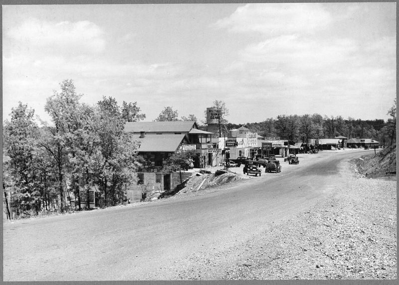
This Missouri lake flooded whole towns when the dam went up in the 1930s, and those towns never left. Their foundations still rest on the lake floor.
Streets that once carried Model T’s now carry only catfish and curious divers. Families packed up their belongings and moved to higher ground, leaving behind churches, schools, and the general store where they bought penny candy.
Most boaters have no idea what lies beneath their hulls. A few know the stories.
An even smaller number have seen the ruins with their own eyes, descending through murky water to touch old bricks and rusted relics from a vanished world. The lake offers great fishing and summer fun.
It also offers something else. A reminder that progress sometimes means leaving the past underwater. Literally.
The Making of a Missouri Marvel: Bagnell Dam and the Birth of the Lake
Before this lake existed, the Osage River carved its way through a quiet Missouri valley filled with small towns, family farms, and generations of history. Then came Union Electric Company with a plan that would reshape the entire region forever.
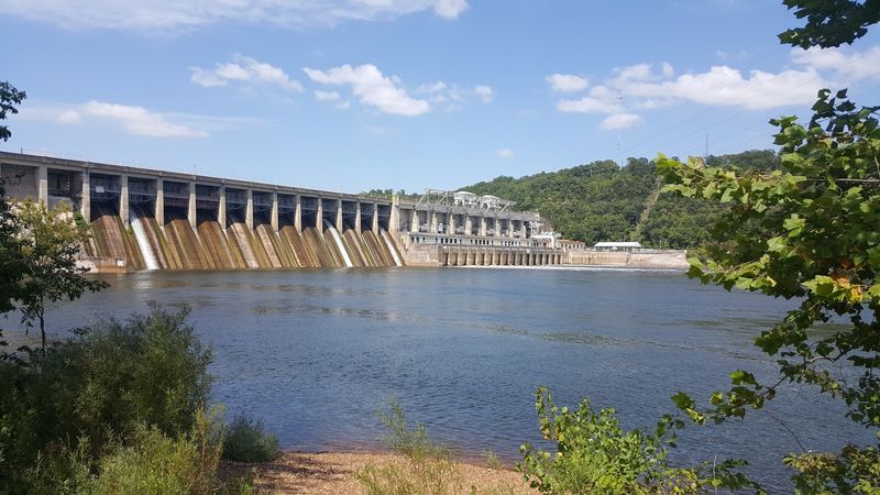
Construction on Bagnell Dam began in 1929 and was completed in just two years, a remarkable feat of engineering for its time. The dam stands 148 feet tall and stretches 2,543 feet across the Osage River near the small town of Bagnell, Missouri.
When the gates closed and the water began rising in 1931, roughly 40,000 acres of land disappeared beneath the surface. Entire communities had to relocate.
Roads, bridges, and buildings vanished under water that would eventually reach depths of over 130 feet in some places.
The lake was built primarily to generate hydroelectric power for the growing city of St. Louis.
What engineers created as a power source accidentally became one of Missouri’s most beloved and most visited recreational destinations, drawing millions of people every single year to its winding, dramatic shoreline.
Submerged Streets: The Towns Swallowed by Rising Water
Several communities in Missouri’s Osage River valley were permanently erased from the map when the lake filled. Among them were small settlements like Linn Creek, the original county seat of Camden County, which was completely submerged.
Linn Creek was a thriving town with a courthouse, businesses, homes, and a strong community identity. Residents were given notice to leave, and the town was essentially dismantled or abandoned before the water arrived.
A new Linn Creek was rebuilt on higher ground, but the original is gone forever.
Other smaller communities, farms, and rural crossroads also disappeared without the same historical recognition. Cemeteries were relocated, but not always completely, and some graves remain beneath the lake to this day.
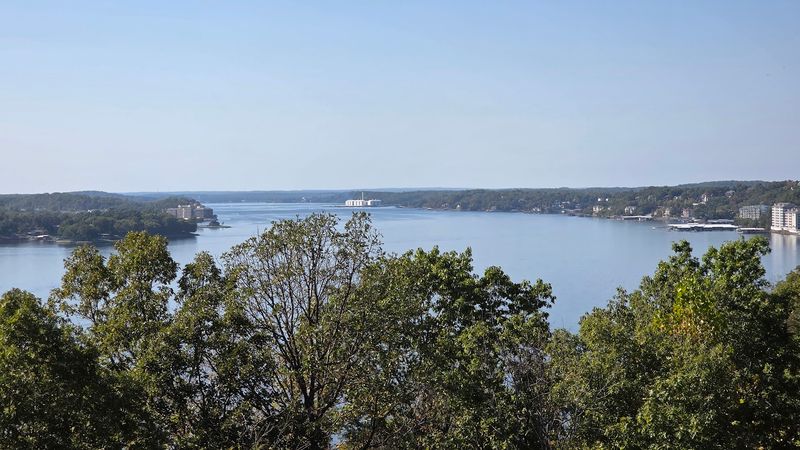
Standing at the shoreline now, it is almost impossible to picture streets and storefronts where water now stretches endlessly. The lake covers what was once a living, breathing part of Missouri’s rural heartland.
That invisible layer of history beneath the surface gives Lake of the Ozarks a depth that goes far beyond its impressive water levels.
A Shoreline Longer Than the California Coast
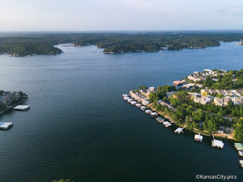
One of the first facts about Lake of the Ozarks that genuinely stops people mid-sentence is the shoreline statistic. The lake has approximately 1,150 miles of shoreline, which is longer than the entire California coastline along the Pacific Ocean.
This happens because the lake follows the original path of the Osage River and all of its tributaries and branches. When the valley flooded, every winding creek and hollow became a cove or inlet, creating a coastline of extraordinary complexity and variety.
Some coves stretch back for miles into quiet, forested areas where the water is calm and the scenery feels completely removed from the busy main channel. Others open up into wide, sun-drenched bays where boats anchor in clusters on summer weekends.
Exploring the full shoreline by boat could take weeks. Each new bend reveals something different, a rocky bluff, a sandy beach, a wooded inlet with herons wading at the edge.
Missouri does not run short on natural beauty, and this lake proves that point more convincingly than almost anywhere else in the state.
What Lies Beneath: Diving Into the Lake’s Hidden History
For those curious enough to look below the surface, the lake holds genuine historical artifacts.
Scuba divers have explored sections of the lake floor and found remnants of the old world that once existed here, stone foundations, bridge supports, road surfaces, and other structural remains from the pre-flood era.
The visibility underwater varies dramatically depending on the season and location. After heavy rains, silt stirs up and reduces visibility significantly.
In calmer periods, divers can sometimes make out the outlines of man-made structures resting silently on the bottom.
Missouri’s history is literally layered here, with the modern recreational lake sitting directly on top of an older, quieter version of itself. The experience of diving in these waters carries a weight that purely natural lakes simply do not have.
Even for non-divers, knowing this history changes the experience of being on the water. Every boat ride across the main channel becomes a kind of crossing over something that came before.
The lake does not advertise its past loudly, but it keeps it close, preserved in cold water and quiet darkness just below the hull.
Stark Caverns and Underground Wonders Near the Lake
The land around Lake of the Ozarks holds surprises both above and below ground. Stark Caverns, located near Eldon, Missouri, is one of the region’s most fascinating natural attractions and sits just a short drive from the lake’s eastern shore.
The cave system features impressive stalactite and stalagmite formations that took millions of years to develop. Walking through the cool, dimly lit passages feels like stepping into a completely different world, one shaped entirely by water and time rather than human hands.
Missouri is one of the most cave-rich states in the entire country, and the geology around Lake of the Ozarks reflects that perfectly. The same limestone bedrock that caves carved out also shaped the river valleys that eventually became the lake’s dramatic coves and bluffs.
Bridal Cave near Camdenton is another nearby option worth exploring, famous for its stunning formations and its reputation as a popular spot for underground ceremonies.
Between the lake above and the cave systems below, this corner of Missouri offers a genuinely layered landscape that rewards curious visitors at every level, literally and figuratively.
Life on the Water: Boating Culture at Its Most Enthusiastic
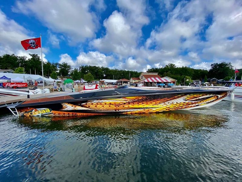
If there is one thing Lake of the Ozarks does better than almost anywhere else in Missouri, it is boating. The lake is an absolute playground for anyone who loves being on the water, and the culture around it is genuinely infectious.
Pontoon boats are the social hubs of the lake, loaded up with families and groups who drift from cove to cove and pull up to waterfront docks for food and fun. Speedboats, ski boats, and personal watercraft zip across the main channel in a constant parade of summer energy.
Boat rentals are available at numerous marinas around the lake, making it easy even for first-time visitors to get out on the water without owning anything. Marinas are well-equipped and generally well-staffed during peak season, which runs from late spring through early fall.
Weekends on the main channel can get genuinely busy, with wakes crossing from every direction and boats anchored in party coves by the dozens.
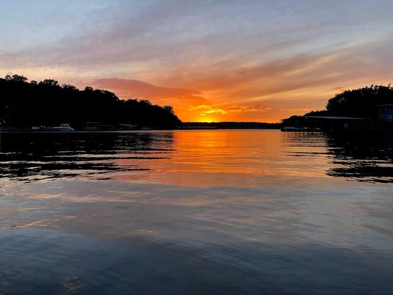
For a calmer experience, heading into the quieter upper arms of the lake early in the morning rewards you with still water, misty air, and the kind of peaceful Missouri morning that makes you want to stay forever.
Fishing the Deep Arms of an Ozarks Giant
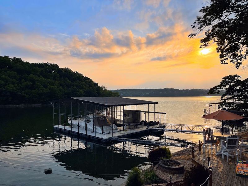
Anglers have been casting lines into Lake of the Ozarks since the very first seasons after the lake filled. The deep, clear water and complex structure of the lake floor make it a genuinely productive fishing destination across multiple species.
Largemouth and smallmouth bass are among the most popular targets, and the lake’s many submerged structures, old creek channels, and rocky points provide excellent habitat. Crappie, catfish, and white bass also draw dedicated fishing crowds throughout the year.
Spring is widely considered the best time for bass fishing, when warming water temperatures bring fish into the shallower coves to feed aggressively. Fall also produces strong fishing as temperatures drop and fish feed heavily before winter.
One of the quieter pleasures of fishing here is that the lake is large enough to absorb the crowds. Even on a busy summer weekend, finding a secluded back cove where the water is still and the only sounds are birds and lapping water is entirely possible.
Missouri fishing does not get much more rewarding than a quiet morning anchor in one of the lake’s forgotten corners, surrounded by nothing but trees, water, and possibility.
Ha Ha Tonka State Park and the Castle Ruins Above the Lake
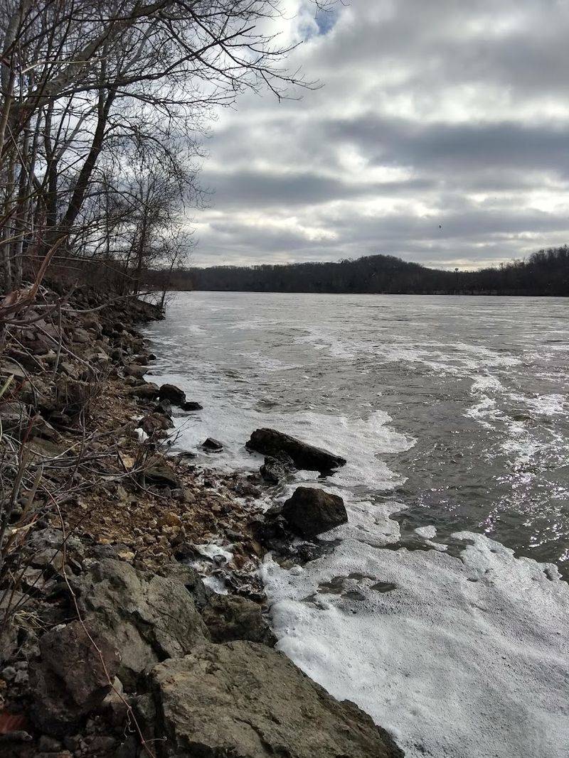
Perched dramatically on a limestone bluff above a quiet arm of Lake of the Ozarks, the ruins of Ha Ha Tonka Castle are one of the most striking and unexpected sights in all of Missouri. The castle was never fully completed, and a fire in 1942 left only its stone shell standing.
Ha Ha Tonka State Park surrounds the ruins and offers some of the most breathtaking scenery in the entire region. Trails wind through cedar glades, past natural springs, and along the edges of towering bluffs that drop straight down to the lake below.
The park also features a natural bridge, sinkholes, and cave entrances that reflect the karst geology underlying this entire part of Missouri. Standing at the castle ruins and looking out over the lake stretching into the distance is one of those moments that genuinely stops you.
The combination of human history, natural geology, and sweeping lake views makes Ha Ha Tonka unlike any other state park in Missouri.
Getting there requires a short drive from the main tourist areas, but the reward is a quieter, more contemplative version of the lake experience, one that connects the landscape’s deep past with its dramatic present.
Best Times to Visit and How to Make the Most of Your Trip
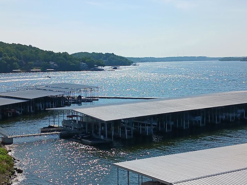
Timing a visit to Lake of the Ozarks in Missouri makes a significant difference in the kind of experience you have. Summer, particularly July and August, brings the largest crowds, the most open businesses, and the fullest calendar of water activities.
Spring and early fall offer a genuinely compelling alternative. Temperatures are comfortable, the foliage is either fresh or brilliantly colored, and the lake traffic drops enough to make exploring the quieter coves feel like a private discovery.
Late October in particular wraps the shoreline in warm reds and oranges that reflect perfectly off the still water.
Winter visits are much quieter, with many businesses and rental operations closed, but the lake itself remains beautiful and accessible for hiking, photography, and cave tours at nearby attractions like Bridal Cave and Stark Caverns.
For practical planning, navigating the roads around the lake takes patience. The shoreline’s complexity means roads wind constantly, and distances between points on the map often take longer to drive than they look.
Building extra time into any itinerary is a smart move. Missouri rewards the unhurried traveler, and Lake of the Ozarks is no exception to that generous rule.
