Take the wrong turn on purpose. Just this once.
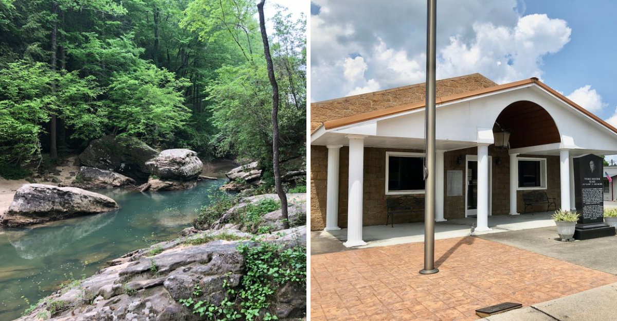
The road gets narrower, the pavement disappears, and suddenly the Alabama forest feels like it has been keeping something from you. Water slips over sandstone.
Old hollows disappear beneath trees. Somewhere among them are the remains of hidden moonshine stills and traces of the people who once used these woods as cover.
Winston County even called itself the Free State of Winston during the Civil War, and the area’s history is still tangled into the landscape. After heavy rain, waterfalls start appearing all over the place.
The locals have a name for it: the Land of a Thousand Waterfalls. It is a fitting name for a place that seems determined to hide its best parts.
Waterfalls Hiding Around Nearly Every Bend
Rain changes everything in this corner of Winston County. A dry drainage that looked like nothing more than a gully on Monday can be pouring water by Wednesday, which is exactly why regulars watch the forecast before choosing a trail.
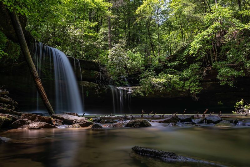
Kinlock Falls sits close to the road and spills into a deep pool at the base of a wide rock shelf. It stays one of the easiest cascades to reach, so it draws families who want scenery without a long march.
Deeper in, the payoff grows. Wolfpen Falls and Eagle Creek Falls reward hikers willing to follow creek beds and scramble over roots, while Deer Skull Falls puts on a strange double show where two creeks meet and drop together.
Upper Caney Creek Falls plunges roughly twenty feet, loud enough to hear before it comes into view.
Then there are the nameless ones. Countless small ribbons slide off bluff lines after storms, appear for a day or two, and vanish again, which is how the whole area picked up its Land of a Thousand Waterfalls reputation.
A few practical notes help. Rock ledges stay slick year round, water levels rise fast during heavy rain, and cell service disappears quickly once the road bends into the trees.
Bring a dry bag, wear shoes that can get soaked, and accept that wet feet are simply part of the deal.
Sipsey Wilderness, Where Alabama Drew Its First Line in the Sand
Alabama got its first federally designated wilderness right here, and the label was hard won.
The Sipsey Wilderness protects more than 24,000 acres of canyon country, and its creation in the 1970s helped spark the Eastern Wilderness Movement, proving that land once logged and lived on could be allowed to go wild again.
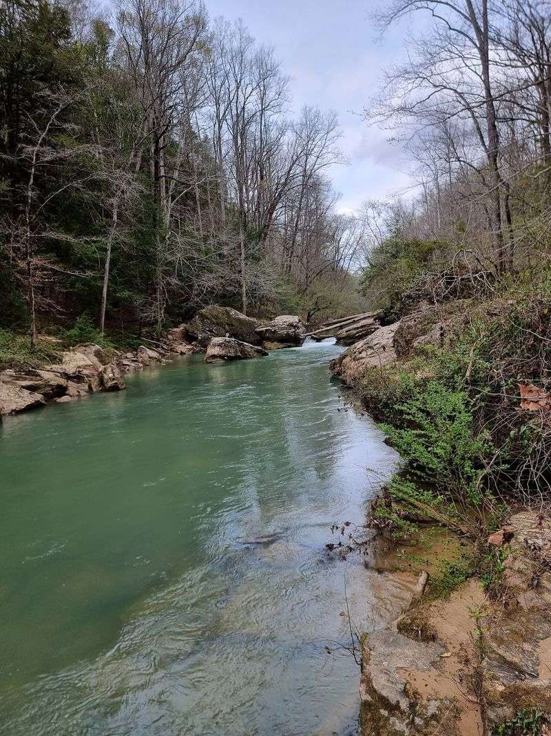
The Sipsey Fork of the Black Warrior River runs through the middle of it. Locally it carries another distinction as Alabama’s only National Wild and Scenic River, and its turquoise water against tan rock is the image most people carry home.
What surprises first-time visitors is the vertical drama. Canyons drop hundreds of feet, bluff lines curl into overhangs deep enough to walk under, and sinkholes and small caves show up where limestone gave way underground.
Old-growth pockets survive in the hardest-to-reach coves, sheltering some of the oldest and largest trees in the state.
Wilderness rules mean no blazes on many routes, no bridges, and no mechanized equipment. Navigation falls squarely on the hiker, so a paper map and compass belong in the pack alongside a downloaded track.
Go slow. The best moments here tend to arrive when the pace drops and the canyon noise takes over, water on stone, wind moving through a canopy that has been growing since long before the roads arrived.
Follow Old Footpaths Through Creeks and Canyons
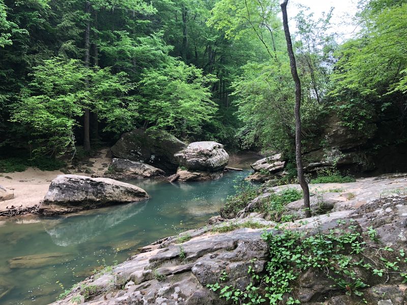
Trail choices here run from gentle to genuinely demanding, and both kinds start within a short drive of one another. Creekside paths follow the water closely, staying mostly flat while delivering nonstop views of the channel cutting through ancient rock.
Families tend to favor those lower routes. Kids can wade, skip stones, and inspect crawfish without a punishing climb, and turnaround points are easy to pick.
For anyone chasing a bigger day, the Needles Eye Loop has a reputation for steep pitches, rocky footing, and views worth the effort. Multi-day treks are possible too, linking trail segments into loops that cross ridges and drop back into shaded hollows.
Designated horse trails spread across other parts of Bankhead National Forest, giving riders their own network away from foot traffic.
Wilderness camping opens the door to overnight stays, and sleeping in a canyon bottom changes the whole feel of the place once the light fades and the frogs start up.
A few habits pay off. Creek crossings can require stepping stone by stone or simply wading, so trekking poles help, and leaving a rough itinerary with someone back home is smart given how thin the signal gets.
Follow leave-no-trace practices closely. These trails hold up only because visitors carry out everything they carry in, right down to fruit peels.
The Free State of Winston and Its Divided Soldier
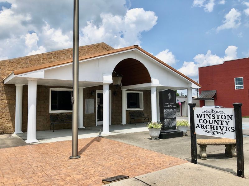
Winston County did something unusual in 1861. While Alabama voted to leave the Union, residents of this hill country pushed back, declaring neutrality and earning the lasting nickname the Free State of Winston.
The reasons were practical as much as principled. Families here farmed small plots in rocky soil, held no stake in the plantation economy driving secession, and saw little reason to fight a war on its behalf.
Double Springs marks that history with the Dual Destiny statue, a bronze soldier split down the middle, one half in Union dress and one half in Confederate. Standing in front of it takes a moment to process, and that is the point.
Families really did split like that, brother against brother, neighbor against neighbor.
The forest itself played a role. Men dodging Confederate conscription hid in these canyons and rock shelters, living rough for weeks while patrols searched the ridges, and the same terrain that frustrates hikers today made an effective hiding place.
Reading a little local history before the drive up makes the landscape read differently. Every deep hollow starts to look like a possible refuge, every bluff overhang like shelter for someone waiting out a war.
The statue sits in the center of Double Springs, an easy stop on the way toward the forest roads.
Rusted Clues From the Hollow’s Hidden Trades
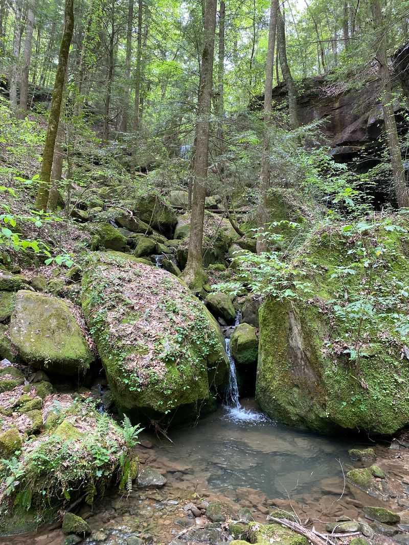
Isolation shaped how people made a living out here. Steep hollows, thick canopy, and few roads meant families relied on ingenuity, and certain trades thrived precisely because the forest hid them so well.
During the Prohibition years, the deep woods sheltered unofficial operations that were never meant to be found.
Stories about hidden stills tucked along spring-fed creeks still circulate locally, and historical postcards from the old community of Hepsidam, inside what is now Bankhead National Forest, preserved images from that chapter.
Nothing operates today, but the traces linger.
Wander far from a marked path and the clues turn up in odd forms. A rusted band of metal poking through leaf litter, a stone arrangement that seems too deliberate, a small flat clearing where the ground was clearly worked once.
Water access explains most locations. Cold springs were essential, so these spots almost always sit close to a reliable creek.
Treat any find as history rather than souvenir. Removing artifacts from national forest land is against federal rules, and photographs make far better keepsakes anyway.
The real value sits in the story. These fragments speak to a self-reliant hill culture that read the terrain better than any map could, using ridges and shadows to build a life on their own terms, quietly, out of sight.
Petroglyphs, Rock Shelters and a Path Older Than the State
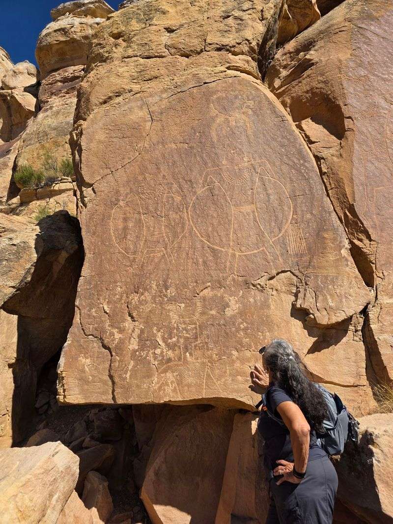
Human history in these hollows runs thousands of years deep. Long before surveyors drew county lines, Woodland peoples lived here, and Chickasaw, Cherokee, and Creek communities all held ties to this land.
The Kinlock Historic District inside the Sipsey Wilderness holds the most striking evidence. An enormous rock shelter there carries eighteen petroglyphs dating to the Mississippian period, carvings that served ceremonial and cultural purposes now understood only in part.
Standing under that overhang, the scale alone commands quiet.
Rock shelters like it are scattered through the forest, formed where softer stone eroded beneath harder caps. Dry, sheltered, and often facing water, they made practical living spaces across many generations.
Remnants of the High Tower Path also cross this forest. That ancient route once linked Charleston, South Carolina, through Alabama and into Mississippi, carrying travelers and trade goods across the Southeast for centuries.
Respect matters enormously at these sites. Never touch or trace carvings, since skin oils and pressure speed their erosion, and avoid digging or moving stones anywhere nearby.
Archaeological resources on federal land receive legal protection, and the reasoning is easy to appreciate once the age of the artwork sinks in.
Photograph from a distance, keep voices low, and let the visit stay simple. Some places ask for observation rather than interaction, and this is one of them.
Walk Quiet Woods, Listen for Warblers, and Spot Rare Wildlife
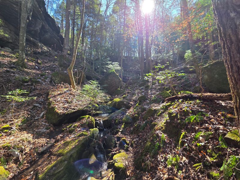
Silence hits differently out here. Once the engine shuts off along the forest roads, the soundtrack shifts entirely to leaves, moving water, and birdsong echoing off canyon walls.
Bird enthusiasts have good reason to make the trip. The American Bird Conservancy recognizes Bankhead National Forest as an Important Bird Area, with close to 160 breeding species recorded across its varied habitats.
The Cerulean Warbler stands out among them, nesting high in the old-growth canopy inside Sipsey Wilderness canyons. Spotting one takes patience and a decent pair of binoculars, since the birds favor treetops.
Ground-level wildlife shows up more readily. White-tailed deer slip across old roadbeds at dawn, wild turkeys rattle through leaf litter, and gray squirrels and Eastern cottontails keep the understory busy.
The streams hold their own quiet treasures. Redeye Bass swim in the clear spring-fed water, and the creeks support an unusually rich variety of freshwater mussels, a strong sign of healthy conditions underwater.
Early morning and late afternoon bring the most activity. Move slowly, pause often, and let the forest settle back around before expecting much to appear.
Keep a respectful distance from every animal, pack out all food scraps, and skip the bluetooth speaker entirely. The stillness is the attraction, and it takes very little to break it.
Address: CCC Camp Rd, Double Springs, AL
