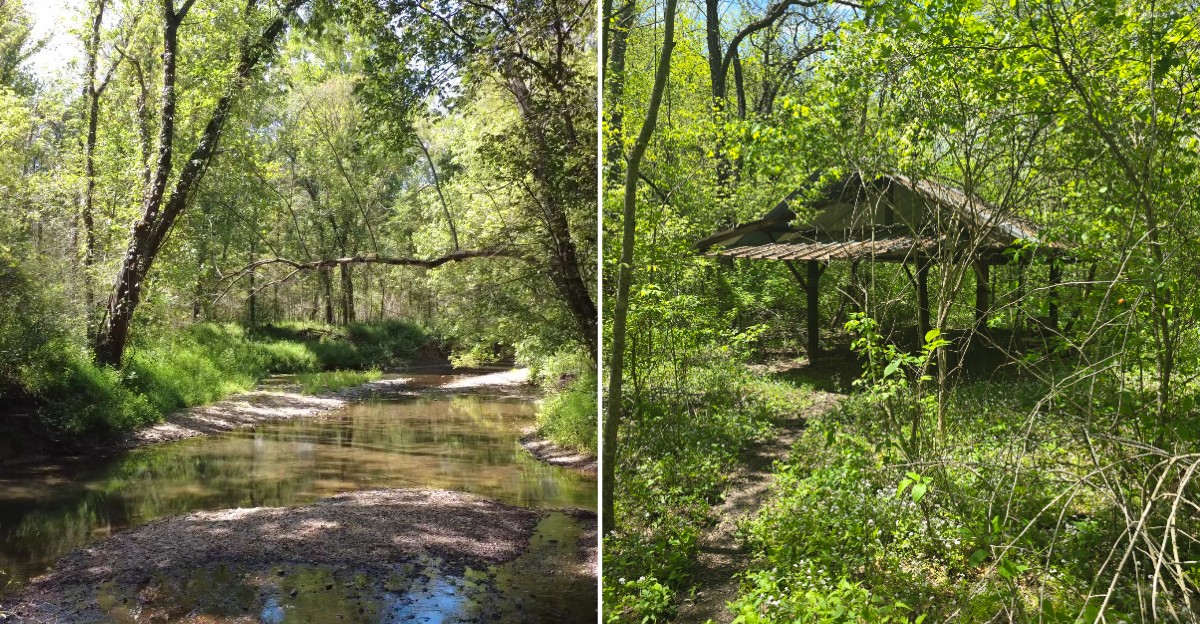
This Missouri trail has more going on than the mileage suggests. The route stretches for about ten miles through woods, rocky sections, creek crossings, and old roads that once connected a much busier landscape.
Along the way, hikers and mountain bikers pass traces of the past, including an old homestead and cemetery. The area feels quiet now, which makes those little pieces of history stand out even more.
You can follow the trail for a long loop, watch the terrain change, and get a sense of how different this part of Missouri once looked.
It is a good pick when you want a hike with a little more to think about than just getting from one mile marker to the next.
Walking Directly Over A Town That No Longer Exists
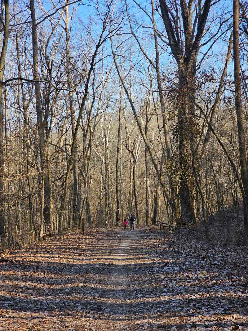
Here is the part that gets people the first time they hear it. The ground under your boots on this trail was once farmland, roads, and home sites belonging to a real community, and the forest simply grew over all of it after everyone was forced to leave.
You are not looking at a re-created historic site with signs every twenty feet telling you what to think. Most of the story is invisible, which honestly makes it stick with you longer, because you end up scanning the woods for anything that looks out of place.
The trail sits inside the Weldon Spring Conservation Area, which is a big chunk of protected land in St. Charles County. Nature reclaimed the space so thoroughly that you could hike the whole loop and never realize anything happened here, unless somebody told you first.
That is why I like telling people ahead of time. Knowing the backstory changes how you look at every clearing, every unusually flat patch of ground, and every old tree line that seems to run in a straight row for no reason at all.
Bring curiosity along with your water bottle, because half of this hike happens in your head.
Hamburg, The Farming Town That Disappeared
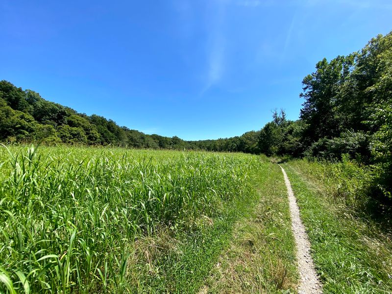
The name you want to remember is Hamburg. It was a quiet German farming settlement out here, the kind of place with a church, a store, family farms, and generations of people who expected to stay put for good.
Then the federal government acquired the land during the buildup to World War II, and residents were told to pack up and go. Homes were cleared, the town was erased from the map, and the people scattered into surrounding towns across Missouri.
You can start your own visit at the Lost Valley Trail trailhead, located at 1339 Research Park Dr, Weldon Spring, MO 63304, which is where most hikers and cyclists begin the loop.
What strikes me about Hamburg is how ordinary it was. There was no disaster, no flood, no fire, just a decision made somewhere far away that ended a community in a matter of months.
Descendants of Hamburg families still gather and keep the memory alive, which I think is worth knowing before you go. You are not walking through an abandoned ruin so much as walking through somebody’s grandparents’ hometown, and that reframes the whole experience.
The Wartime Reason Everything Changed Overnight
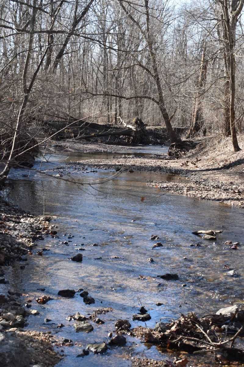
Ever wonder what could make an entire town vanish without a natural disaster? In this case it was the Weldon Spring Ordnance Works, a massive explosives plant the government built here during World War II.
Hamburg was not alone either. Neighboring communities called Howell and Toonerville got wiped off the map in the same sweep, all so the land could be converted into an industrial site producing TNT and DNT for the war effort.
Think about the speed of that change for a second. Farm fields turned into production lines, quiet country roads filled with trucks and workers, and thousands of people arrived to do jobs that had not existed in the area at all.
Hiking the trail now, you would never guess any of that happened, since the loudest thing out there is usually birds and the crunch of gravel underfoot.
I find this part of the story genuinely humbling, because it shows how quickly a landscape can be repurposed when a country decides it needs something. The woods look peaceful today, but the reason they exist in this form goes straight back to wartime Missouri.
Cold War Chapters Layered On Top
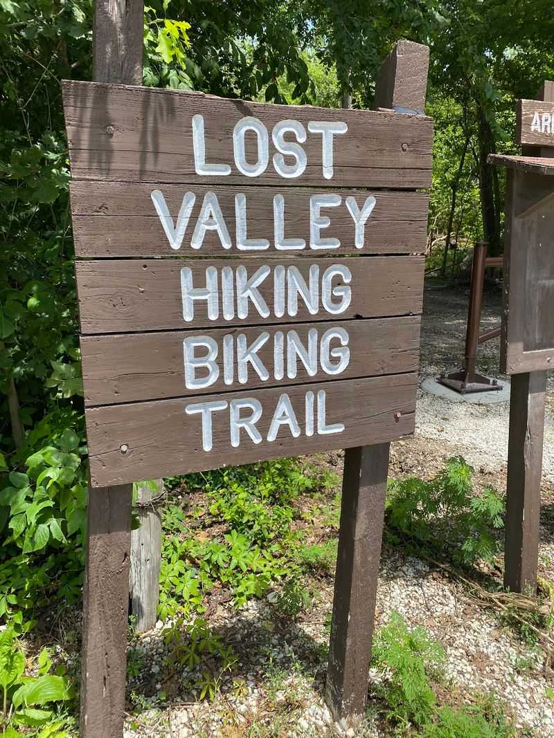
The story did not stop when the war ended, which honestly surprises most people. Part of this same land later became the Weldon Spring Chemical Plant, where uranium was processed during the Cold War.
So you have one piece of ground that served two enormous national efforts back to back, first explosives and then nuclear material. Very few places anywhere carry that kind of double history, and even fewer of them are now covered in hiking trails.
What that means practically is that a lot of cleanup work had to happen before the public could safely enjoy the area. Agencies spent an enormous amount of effort restoring and containing the site, and the conservation land you walk today is the result of that work.
I like mentioning this because it explains why the area feels a bit unusual compared to a typical Missouri state park. There are fences in odd places, service roads that go nowhere obvious, and a general sense that the land has been carefully managed.
Nature has taken the front seat again, but the engineering underneath is a real part of what you are visiting.
Fire Hydrants And Foundations Hiding In The Trees
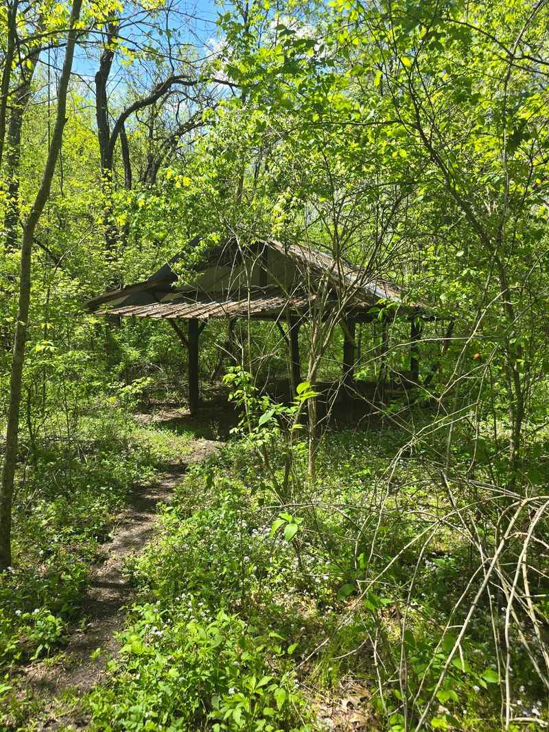
Keep your eyes off the trail now and then, because the leftovers are the best part. Hikers and cyclists in the area regularly spot old fire hydrants standing alone in the middle of the woods, rusting quietly with no street or building anywhere near them.
There are also crumbling foundations, bits of old roadbed, and the occasional chimney stack half swallowed by brush and vines. None of it is dramatic at first glance, which is exactly why it lands so hard once you realize what you are looking at.
A hydrant only exists where there were houses to protect. A foundation only exists where somebody built a life.
Those small details do more storytelling than any plaque could manage.
Go in late fall or early spring if you want the best odds of spotting things, since the leaves are down and you can see much deeper into the trees.
Just look with your eyes and leave everything exactly where it sits. These remnants belong to the families who lived here, and they are the last physical proof that a town stood on this Missouri hillside.
The Mound, A Man-Made Hill With A Serious Job
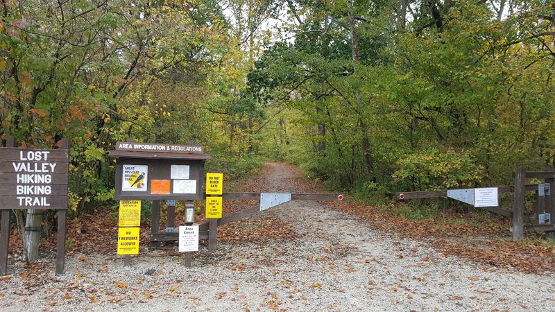
Nearby sits one of the strangest landmarks in the whole region, a gigantic rock-covered hill people simply call The Mound. It rises about seventy-five feet and it is completely man-made.
Underneath that layer of stone is a sealed disposal cell holding contaminated material from the site’s industrial past, capped and engineered to stay put for a very long time. Calling it a cleanup project undersells the scale of what was involved.
Here is the twist that always gets a reaction. That artificial hill is now the highest point in St. Charles County, which means the tallest spot around was built by people rather than shaped by geology.
You can climb a staircase to the top, and the view stretches out across the surrounding countryside in a way that feels weirdly peaceful given what is stored below your feet.
There is also an interpretive center nearby that explains the whole history, from the ordnance works through the environmental restoration. If you want the full context for the trail, that stop pairs really well with the hike, and it only takes a short amount of time.
Ten Miles Of Terrain That Keeps Changing
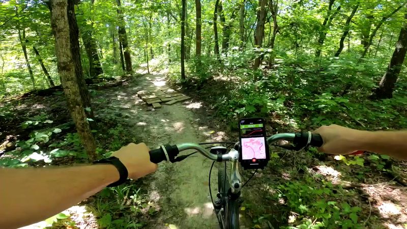
Let me talk about the actual hiking, because the loop is a solid workout no matter what you came for. It runs roughly ten miles total and mixes flowing singletrack through the trees with wider, more open gravel stretches.
Hikers, trail runners, and mountain bikers all share the route, and it is popular enough with the cycling crowd that you should stay alert around blind corners. A friendly heads-up when you hear wheels coming keeps everybody happy.
The terrain rolls quite a bit, with climbs that will get your heart going and descents that reward you for the effort. It is not technical mountain territory, but it is definitely not flat either.
You can shorten things too, since the layout lets you turn around or take a partial route if ten miles feels like too much for the day.
Bring more water than you think you need, especially in summer, because Missouri humidity has a way of humbling people out on open sections. Sturdy shoes matter as well, since loose rock and roots show up in plenty of spots along the way.
River Overlooks And Plenty Of Wildlife
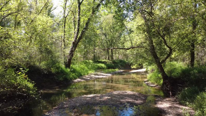
Plenty of people show up for the history and end up talking about the views instead. Sections of the area deliver genuinely lovely looks out toward the Missouri River valley, especially where the bluffs open up.
Because this is protected conservation land, wildlife has room to move around. Deer, wild turkey, woodpeckers, songbirds, and the occasional fox or coyote all live in the neighborhood, and early morning is your best shot at seeing them.
Birders do well here, particularly during spring and fall migration when the tree canopy fills up with activity. Even if you cannot name a single species, the sound alone makes the walk better.
Fall is my pick for the prettiest conditions, with oak and hickory colors lighting up the hillsides and cooler air making the climbs far more pleasant.
Bring a small pair of binoculars if you own them, and keep your phone handy for the overlook spots. Just remember that wildlife stays wild, so give animals plenty of space and never try to feed anything you meet along the trail.
Where This Path Links Up With The Katy Trail
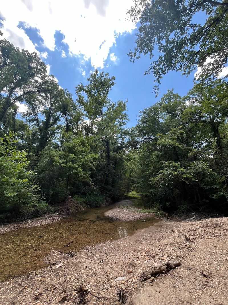
Feeling like ten miles is just a warm-up? Good news, because the area connects to the Katy Trail, which is one of the longest rail-trail routes in the entire country.
That connection opens up a huge amount of extra distance along the Missouri River, running on flat crushed limestone that feels easy compared to the rolling singletrack you just finished. Cyclists especially love stringing the two together for a much bigger day.
You could ride out toward nearby river towns, grab lunch, and turn back, or just go as far as your legs feel like going before flipping around. The flexibility is what makes the combination fun.
If you are planning something longer, check trail conditions ahead of time and make sure you know where parking and restrooms are located along your route.
What I love about this whole corner of Missouri is how much you can stack into one outing. A vanished town, a strange engineered hill, river overlooks, and a legendary long-distance trail all sit within a short drive of each other, which is a pretty rare combination anywhere.
