The Atlantic hurricane season has been keeping meteorologists on their toes this September. With Hurricane Gabrielle making headlines and several other systems developing, coastal residents remain watchful.
Understanding these storms and what might follow helps communities prepare for potential impacts as we navigate through the peak of hurricane season.
1. Gabrielle’s Shocking Intensification
Weather forecasters were stunned by Gabrielle’s development. The system transformed from a Category 1 storm on Sunday, September 21, to a powerful Category 3 hurricane by Monday morning, September 22.
This rapid strengthening gave coastal emergency managers little time to prepare. Scientists point to unusually warm ocean temperatures as the primary fuel for this dramatic power-up.
2. Seventh Named Storm Milestone
Gabrielle marks an important point in the 2025 hurricane season timeline. As the seventh named tropical cyclone since June 1, it represents the continuing activity during this year’s Atlantic hurricane season.
Meteorological records show this pace is slightly below average for mid-September. The season will continue through November 30, leaving plenty of time for additional systems to develop.
3. Bermuda’s Lucky Escape
Residents of Bermuda breathed collective sighs of relief as tracking models solidified. Gabrielle’s path curved northward, passing southeast of the island without making direct landfall on any major landmass.
While sparing populated areas from its full fury, the hurricane still delivered tropical-storm-force winds to Bermuda’s eastern shores. Small craft advisories remained in effect for several days.
4. Deadly Coastal Dangers
Beachgoers from North Carolina to Nova Scotia faced hidden threats despite blue skies inland. Gabrielle’s massive circulation generated powerful swells that traveled hundreds of miles, creating dangerous surf conditions along the entire Eastern Seaboard.
Lifeguards performed dozens of rescues as rip currents pulled unsuspecting swimmers offshore. Several beaches closed entirely during the most hazardous periods.
5. September’s Surprising Calm Before Gabrielle
Meteorologists raised eyebrows at the unusual tropical silence preceding Gabrielle. The system’s September 17 formation broke an almost three-week inactive period during what typically represents peak hurricane season.
Such a lull during September hasn’t occurred since 2013. Climate scientists are studying whether changing ocean circulation patterns might explain this temporary calm amid an otherwise active season.
6. Atlantic Basin Heating Up
Satellite imagery reveals concerning developments across tropical waters. Behind Gabrielle, the National Hurricane Center monitors multiple tropical waves emerging from Africa’s west coast, suggesting renewed storm activity.
Computer models predict at least two of these disturbances have moderate development potential. Forecasters urge coastal residents not to let their guard down as conditions remain favorable for additional storm formation.
7. Record-Breaking Ocean Temperatures
Marine buoys throughout the Atlantic basin report alarming readings. Sea surface temperatures exceed historical averages by 2-3°F across hurricane development regions, providing abundant energy for storm intensification.
Scientists link these elevated temperatures to climate change impacts. Warmer waters not only make storms stronger but allow them to intensify more rapidly, giving coastal communities less warning time.
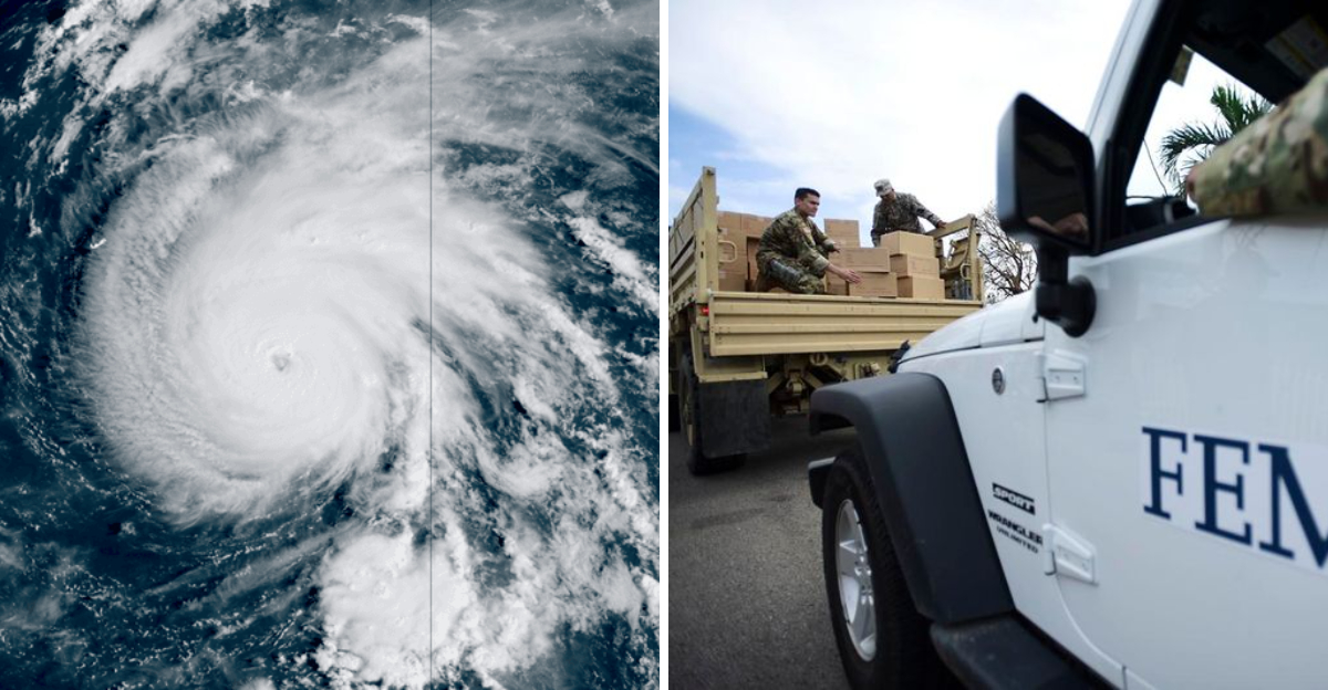
8. Emergency Resources Stretched Thin
FEMA officials express mounting concerns about response capabilities. With Gabrielle arriving after several earlier storms this season, emergency management resources face significant strain across multiple states and territories.
Supply warehouses report depleted stocks of critical items. Personnel fatigue becomes increasingly problematic as the same teams rotate between disaster zones without adequate recovery periods.
9. La Niña’s Troubling Influence
Climatologists point to developing La Niña conditions as a key factor in September’s storm activity. This Pacific Ocean cooling phenomenon typically reduces wind shear across the Atlantic, allowing hurricanes to form and strengthen more easily.
Historical data shows La Niña years average 20% more named storms. The current pattern is expected to persist through November, potentially extending the dangerous period of the 2025 hurricane season.
Dear Reader: This page may contain affiliate links which may earn a commission if you click through and make a purchase. Our independent journalism is not influenced by any advertiser or commercial initiative unless it is clearly marked as sponsored content. As travel products change, please be sure to reconfirm all details and stay up to date with current events to ensure a safe and successful trip.