After months of dry, sunny days, California is bracing for its first major rainfall of the season. These early autumn storms mark a critical transition period for the Golden State, bringing both relief and challenges. Understanding what’s coming helps residents prepare for everything from slick roads to potential flooding, while also giving context to the state’s complex climate patterns.
Northern California: First System Arrives
Weather maps light up as a quick-moving cold front approaches Northern California on Monday, September 29, 2025. Residents from Eureka to Sacramento should prepare for a dramatic shift from summer-like conditions to authentic fall weather within hours.
Scattered thunderstorms will likely develop in the warm, muggy air ahead of the front. These storms may produce brief heavy downpours, especially along coastal mountains where rainfall could reach 0.5-1 inch in localized areas.
Morning commuters should allow extra travel time as roads will be particularly slippery after months without significant rainfall. The first rain lifts oils from roadways, creating unexpectedly slick conditions. While this system moves through quickly, it sets the stage for a much stronger storm system just days later.
Wind gusts of 25-35 mph are expected along exposed ridges and coastal areas, potentially causing fallen branches and minor power disruptions. Residents are advised to secure loose outdoor items and exercise caution while driving, especially on bridges and winding roads. This early-season front serves as a reminder that Northern California’s transition to fall can bring sudden and impactful weather changes.
Atmospheric River Impact
Mother Nature isn’t holding back with the season’s first atmospheric river forecast to slam into Northern California around September 30. This moisture-laden system taps into tropical air masses, creating a concentrated stream of precipitation that meteorologists compare to rivers in the sky.
The North Coast will bear the brunt of this powerful system, with rainfall potentially exceeding 3-5 inches in mountainous regions. San Francisco to Sacramento could see 1-2 inches, making it possibly the wettest September day recorded in decades for these areas.
Flash flood watches will likely be issued for burn scars from recent wildfires, where soil can’t absorb heavy rainfall. Urban areas may experience street flooding as storm drains clog with months of accumulated debris. Residents should clear gutters and secure outdoor items before this significant weather event arrives.
Strong winds accompanying the atmospheric river could gust up to 50 mph in exposed areas, toppling weak trees and causing localized power outages. Authorities are urging residents to avoid unnecessary travel during peak rainfall hours and to monitor emergency alerts. Proper preparation now – such as securing property and stocking essentials – can significantly reduce risks from flooding and wind damage during this extreme early-season storm.
Winds and Fire Risk Relief
Breezy conditions will accompany the rainfall, though forecasters expect winds to remain generally below 30 mph in the Bay Area. Higher elevations and mountain passes might experience stronger gusts, but nothing approaching severe weather criteria that would warrant wind advisories.
The welcome moisture will significantly reduce fire danger across Northern California’s parched landscapes. Vegetation in the Coastal Ranges and northern Sierra will absorb much-needed hydration, lowering the risk of rapid fire spread that has kept residents on edge throughout summer.
Fire officials caution that while this rainfall provides temporary relief, it won’t fully end fire season. One or two storm systems rarely saturate deep soil layers or larger vegetation completely. Nevertheless, the psychological relief for communities that have endured months of fire watches and smoky skies will be substantial as the first raindrops fall.
Residents are encouraged to enjoy the rain safely while remaining mindful of lingering hazards. Mudslides on steep slopes, slick roads, and flooded low-lying areas remain possible, particularly in regions recently affected by wildfires. By combining caution with preparedness, Northern Californians can benefit from the welcome rainfall while minimizing risks associated with early-season storms.
Southern California Outlook
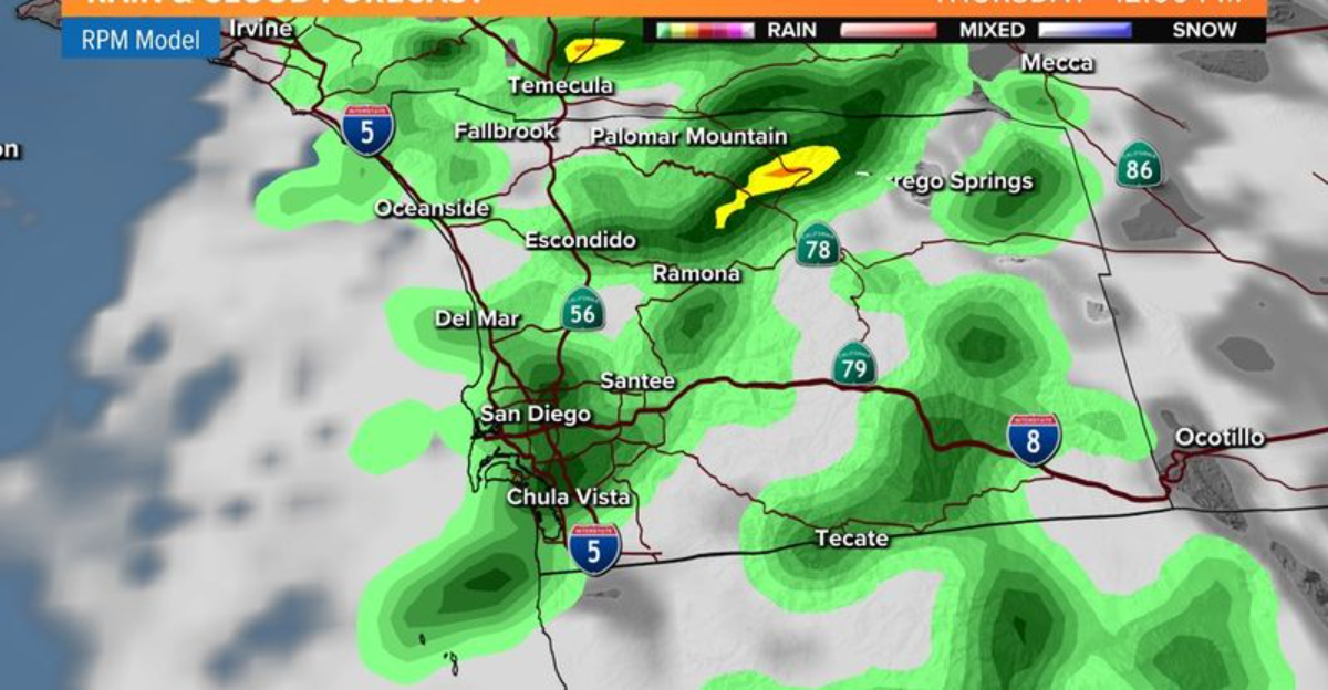
While Northern California prepares for significant precipitation, Southern California residents shouldn’t rush to unpack raincoats just yet. Weather models show these early-season storms weakening considerably as they push southward, with little to no measurable rainfall expected below the Tehachapi Mountains.
Los Angeles, San Diego, and surrounding areas will likely continue their typical dry seasonal patterns through October. Meteorologists project below-normal precipitation for the region through November, with only a slight increase in rain chances emerging in late autumn.
The stark north-south divide highlights California’s complex regional weather patterns. Southern Californians should continue water conservation efforts despite northern storms making headlines. Seasonal preparations should focus on maintaining drought-tolerant landscaping and being ready for Santa Ana winds, which typically peak during this transitional season.
Fire agencies in Southern California remain on alert despite the dry forecast, emphasizing that even a few strong Santa Ana wind events can rapidly escalate wildfire risks. Residents are advised to keep emergency kits ready, clear vegetation away from homes, and stay informed through local alerts. The contrast between northern storms and southern dryness underscores the importance of region-specific preparedness across the state.
Long-Range Forecast: La Niña Effects
Beyond these first storms, California faces a challenging seasonal outlook as meteorologists confirm a weak La Niña pattern developing by October 2025. This Pacific Ocean cooling phenomenon typically steers the jet stream and storm tracks northward, leaving California – especially Southern California – warmer and drier than normal.
Adding to La Niña’s influence, the persistent “Pacific Blob” – an area of abnormally warm ocean temperatures in the North Pacific – continues to promote high-pressure ridging. This atmospheric pattern often blocks incoming storm systems, potentially limiting rainfall after these initial autumn systems pass.
Water resource managers are already preparing for potential drought conditions to persist or worsen in 2026. While these first rains provide temporary relief, long-term planning remains essential. Californians should view these early-season storms as an opportunity to collect rainwater and replenish soil moisture before potentially drier months ahead.
Agricultural sectors and wildfire management teams are paying close attention to this evolving pattern. Farmers may need to adjust planting and irrigation schedules, while fire agencies continue monitoring vegetation dryness to preemptively mitigate risks. The combination of La Niña and the Pacific Blob underscores that California’s weather outlook requires both immediate action during storms and strategic long-term planning for water and fire management.
Dear Reader: This page may contain affiliate links which may earn a commission if you click through and make a purchase. Our independent journalism is not influenced by any advertiser or commercial initiative unless it is clearly marked as sponsored content. As travel products change, please be sure to reconfirm all details and stay up to date with current events to ensure a safe and successful trip.