Winter travel across Ohio and Pennsylvania can turn on a dime, and this setup is the kind that does it fast.
Lake Erie is fueling narrow snow bands that pound one town while sparing the next, which makes planning tricky and timing everything.
If you are crossing Northeast Ohio or Northwest Pennsylvania, you will want clear routes, warm layers, and trustworthy updates.
Stick with this guide for pinpoint details, on-the-ground tips, and places to pause safely while the bands breathe.
The Hazardous Timeline, When the Snow Hits Hardest

A significant and dangerous lake effect snow event is underway across the snowbelts of Northeast Ohio and Northwest Pennsylvania.
Arctic air is pouring over the relatively warm waters of Lake Erie, which is energizing narrow bands that pivot and intensify.
The worst conditions align with the most persistent band placement, which can last for hours in one corridor.
Expect the most disruptive period from late Wednesday night through Thursday and Thursday night.
Friday offers gradual improvement, but intermittent bursts can still create sudden whiteouts.
Plan windows carefully, since breaks can be short and visibility can collapse with little warning.
Warnings and advisories from the National Weather Service remain in effect for the hardest hit zones.
Travel choices should prioritize daylight, plowed corridors, and flexible timing.
Routes along the lakeshore may vary widely compared with higher inland ridges.
Use official updates for the most reliable timeline shifts as bands wobble.
Safe staging spots near the corridor include the Cleveland Visitors Center, 334 Euclid Ave, Cleveland, Ohio.
Drivers further east can regroup at the Presque Isle Lighthouse parking area, 301 Peninsula Dr, Erie, Pennsylvania.
Both locations offer dependable access to treated roads and emergency services.
Local transportation websites post closures and ramp restrictions quickly.
Build buffer time into every leg of your day.
Short, well timed moves often beat long pushes through volatile bands.
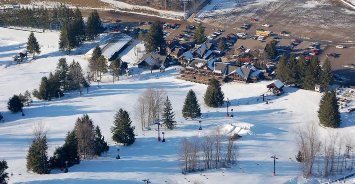
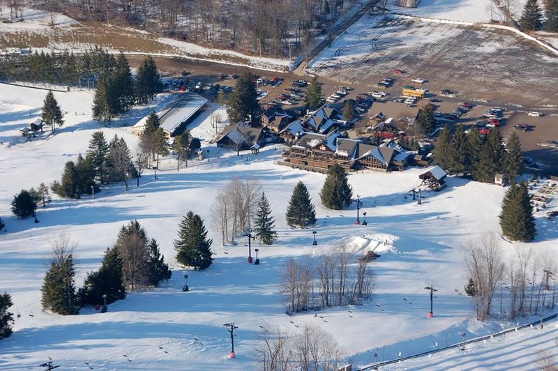
Peak Snowfall Totals, Where the Bands Park
Peak totals depend on where the core bands stall and recycle their moisture.
Inland ridges of Erie County in Pennsylvania are favored for the heaviest bursts.
Localized amounts can climb fast when a band remains locked over one township.
Widespread moderate to heavy totals fill in around the primary warning zones.
Travelers should not chase exact numbers, but anticipate big gradients over short distances.
A shift of a few miles can change plowable snow into near bare pavement.
Use wind direction as a clue for likely corridors that could maximize accumulation.
The snow growth zone is primed by the temperature contrast over Lake Erie.
That engine boosts flake size and stacking efficiency on colder inland roads.
Expect drifted patterns across open fields that complicate depth measurements.
A practical waypoint for monitoring inland impacts is McKean Municipal Building, 9231 Edinboro Rd, McKean, Pennsylvania.
On the Ohio side, check conditions near Chardon Square, 100 Short Ct St, Chardon, Ohio.
Both sit near frequent band paths and offer quick access to county updates.
Carry a small shovel to free wheels from plow berms.
Assume higher totals on windward hills and unprotected stretches.
Plan detours that avoid steep grades when the band intensifies again.
Ohio Warning Zones, Northeast Counties to Watch

Ohio’s strongest bands focus on the northeastern tier where lake fetch aligns with terrain.
Cleveland’s eastern suburbs often see quick transitions from wet to white in minutes.
South of I-90 in Lake County, squalls can stack up quickly on untreated secondary roads.
Geauga County corridors near Chardon face frequent bursts as bands drift inland.
Ashtabula County adds lakeshore variability that flips between lulls and blinding snow.
Keep your route flexible and favor mainlines with steady plow cycles.
Use ODOT updates for ramp closures and reduced speed advisories.
If you need a warm lobby and clear signage, pause at Cleveland Public Library Main, 325 Superior Ave E, Cleveland, Ohio.
Farther east, a reliable waypoint is Laketran Headquarters, 555 Lake Shore Blvd, Painesville, Ohio.
Both locations sit near transit links and major arterials for quick rerouting.
When bands pivot, head for lower elevation alternatives to reduce drifting risk.
Bridge decks and ramps freeze first and hide black ice beneath powder.
Consider parallel corridors that avoid lake facing ridges.
Lengthen following distances and keep headlights on in every squall.
Expect buried lane markings and trust rumble strips to hold course.
Ohio road cameras provide live looks before you commit to a stretch.
Pennsylvania Warning Zones, Erie To Crawford
Northwest Pennsylvania sits squarely under the snowbelt, with Erie County drawing repeated hits.
City streets near the bay can see lighter amounts compared with inland hills.
Southern Erie and northern Crawford trend snowier when the band parks along the ridges.
Watch for rapid changes as wind shifts toggle the favored corridor.
Use PennDOT advisories for restrictions on high profile vehicles.
Keep alternate exits in mind along I-90 and I-86 for quick escapes to services.
A dependable city waypoint is Erie County Public Library, 160 E Front St, Erie, Pennsylvania.
Inland, the Crawford County Courthouse, 903 Diamond Park, Meadville, Pennsylvania, offers a central landmark.
Both provide clear approaches and sit near routes that are plowed frequently.
Whiteouts commonly form at open gaps that funnel crosswinds.
Pace yourself and avoid passing in drifting zones where edges vanish.
Expect plow trains to run in sequence during peak bursts.
Parking lots can hide deep wind slabs near curbs.
Use building lines as visual anchors when lane lines disappear.
If you must move, call ahead to verify lot clearing and hours.
Pennsylvania updates arrive quickly on regional 511 platforms.
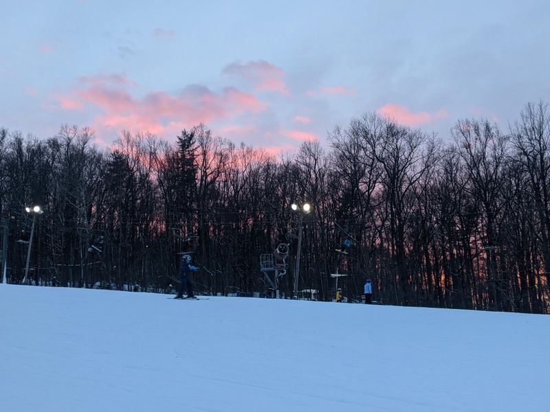
Whiteouts And Travel, Staying Safe On The Move
Whiteouts are the core travel hazard in this pattern, since visibility can collapse without warning.
Your best defense is patience and a plan that accepts short delays.
Pull safely to a plowed shoulder or exit when you lose the horizon line.
Major interstates like I-90 and I-86 see rapid reductions in sight distance.
Secondary routes can be worse due to drifting and sparse treatments.
Plow ridges block intersections and hide hazards under feathered powder.
Set navigation for known services and avoid exploratory shortcuts.
In Ohio, a secure regrouping spot is Willoughby City Hall, 1 Public Sq, Willoughby, Ohio.
In Pennsylvania, consider Millcreek Township Municipal Building, 3608 W 26th St, Erie, Pennsylvania.
Both buildings front well plowed streets and clear signage for arrivals.
Use low beams in every burst, since high beams reflect snow glare.
Keep windows defogged and mirrors clean for lane awareness.
If traffic stops, leave space for plows and emergency vehicles.
Avoid sudden braking that can start a slide on packed snow.
Slow, steady throttle inputs help tires hold grip.
Trust mile markers and guardrails to maintain orientation.
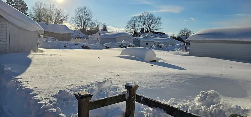
Gusty Winds, The Hidden Multiplier
Strong winds turn heavy snow into a moving target that rearranges drifts by the minute.
Gusts lift fine powder and erase tracks on open stretches.
Visibility drops fastest at crosswind gaps and hill crests.
Wind advisories often overlap lakeshore zones where fetch is longest.
Expect drifting at driveway mouths and around parked cars.
Downed limbs can force quick detours and temporary closures.
Carry a scraper and brush long enough to clear roof snow cleanly.
For a calm interior stop in Ohio, the Lakewood City Center, 12650 Detroit Ave, Lakewood, Ohio, is a steady option.
In Pennsylvania, the Erie Maritime Museum lobby, 150 E Front St, Erie, Pennsylvania, offers shelter near plowed routes.
Watch for blowing snow that conceals plow ridges at curb cuts.
Parking angles matter, so nose into the wind where possible to reduce buildup.
Keep wiper fluid topped and nozzles unfrozen for constant clearing.
Power blips can affect signals, so approach intersections with extra caution.
Snow fences and tree lines give clues to drift behavior along rural roads.
Expect noise and vibration on bridges as gusts funnel beneath decks.
Plan shorter legs between warm, staffed indoor locations.
Lake effect snow forms when very cold air passes over a warmer, unfrozen lake surface.
Heat and moisture rise, clouds blossom, and narrow bands organize downwind.
Terrain inland from Lake Erie then squeezes extra lift and snowfall.
Band intensity hinges on wind direction, shear, and the temperature gap from water to air.
Longer fetch builds deeper clouds and heavier bursts.
Small wind shifts slide the band and change outcomes town by town.
You can read the sky by watching streaked clouds aligned with the wind.
Radar shows pencils of reflectivity that pulse and pivot through the day.
Snow growth sweet spots create fluffy flakes that pile up quickly on cold ground.
Roads near the shore may see slush, while hills inland get deep powder.
For a clear view with safe access, stop at Edgewater Park Welcome Area, 7600 Cleveland Memorial Shoreway, Cleveland, Ohio.
On the Pennsylvania side, head to the Bicentennial Tower promenade, 1 State St, Erie, Pennsylvania.
Both spots give perspective on incoming bands and wind lines.
Leave room for plows that circle these public lots regularly.
Track official forecasts for shifts tied to evolving wind fields.
Adjust your itinerary based on the angle of approach over the lake.
Thanksgiving Travel, Smart Moves In A Busy Week

Holiday timing magnifies every delay because roads and airports run near capacity.
Shorten risk by leaving early and targeting calmer windows between band surges.
Stagger family departures to avoid convoy stress in whiteouts.
Check DOT maps and airport alerts before you back out of the driveway.
If you need a quiet indoor pause in Ohio, use the South Euclid Lyndhurst Branch, 1876 S Green Rd, South Euclid, Ohio.
In Pennsylvania, the Tom Ridge Environmental Center, 301 Peninsula Dr, Erie, Pennsylvania, offers steady access and clear signage.
Both places sit near treated arterials and dependable parking.
Keep your phone charged and set alerts for forecast updates.
Pack layers that you can add quickly during roadside stops.
Coordinate with your group on exact meeting points and fallback plans.
Consider midday travel when plow coverage is widest and daylight helps depth perception.
Avoid late evening pushes that intersect with peak band reinforcements.
Choose rest areas with strong lighting and visible staff presence.
If flights change, ground options across Ohio and Pennsylvania remain viable with caution.
Build slack into your schedule for safe, realistic transitions.
Patience now prevents bigger problems down the road.
Route Tactics, Band Dodging Without Guesswork

Preparation turns a risky drive into a manageable errand list.
Set an emergency kit with blankets, water, snacks, and first aid.
Add a flashlight, traction mats, and a portable battery pack.
Top off fuel and washer fluid before flakes intensify.
Scrape lights and glass thoroughly so you can see and be seen.
Program local non emergency numbers and roadside assistance.
Share your route and timing with a trusted contact.
For quick supplies in Ohio, the Solon City Hall Campus, 34200 Bainbridge Rd, Solon, Ohio, offers clear access and reliable plowing nearby.
In Pennsylvania, the Summit Township Municipal Building, 1230 Townhall Rd W, Erie, Pennsylvania, is a solid staging point.
Both locations sit close to arterial grids and emergency services.
Store gloves and hats in a dry bag so they stay warm between stops.
Keep a small brush within reach to clear sensors and cameras.
Move slow on foot since packed snow hides slick patches.
Mark your driveway edges with tall stakes for easier clearing.
Check home heat and detectors before you head out.
Preparation today means safer choices when visibility drops.
Routing around bands starts with wind direction, since that sets the lake to land trajectory.
Northwest winds push bands southeast, while west winds ride closer to the lakeshore.
Shifts of a few degrees can nudge the target corridor quickly.
Favor higher class highways that receive constant attention from plow crews.
Use live radar and traffic layers to spot stalled segments and crashes.
Step down to parallel arterials when the mainline gets overwhelmed.
Build decision points at safe exits with lighting and services.
A handy Ohio pivot is Beachwood Place Transit Stop, 26300 Cedar Rd, Beachwood, Ohio.
In Pennsylvania, the Erie Intermodal Transportation Center, 208 E Bayfront Pkwy, Erie, Pennsylvania, is an excellent hub.
Both offer covered areas and clear signage for regrouping.
Keep paper maps as a backup when coverage drops in rural gaps.
Note elevation bumps that correlate with frequent bursts.
Stay mindful that local roads can drift shut between plow cycles.
Confirm hotel or lodging plowing schedules before committing to late arrivals.
Choose destinations with multiple access points for redundancy.
Every turn should buy you visibility, traction, or reliable services.
Looking Ahead, Weekend System On The Radar
Attention stays on current bands, but a new system may follow on its heels.
Forecast discussions already hint at another round crossing the Great Lakes and Midwest.
Weekend travelers should expect fresh snow and gusty winds that renew hazards.
Build flexibility into return plans so you can shift a day if needed.
Recheck airline and highway guidance the night before departure.
Plow crews reset quickly, yet new bursts can rebuild drifts along exposed stretches.
If you want a calm planning stop in Ohio, the Akron-Summit County Public Library Main, 60 S High St, Akron, Ohio, works well.
In Pennsylvania, the UPMC Park concourse entry, 831 French St, Erie, Pennsylvania, provides covered space and clear approaches.
Both sit near core travel arteries and dependable parking operations.
Keep gear staged so you can roll early when windows open.
Layer plans for detours that avoid higher ridges during peak winds.
Use official NWS briefings to time your moves around the strongest bands.
Expect mixed surfaces where earlier melt refreezes overnight.
Check vehicle batteries and tire tread before a longer haul.
Fresh data by morning often refines track and timing details.
Make every choice with safety in mind first.
Dear Reader: This page may contain affiliate links which may earn a commission if you click through and make a purchase. Our independent journalism is not influenced by any advertiser or commercial initiative unless it is clearly marked as sponsored content. As travel products change, please be sure to reconfirm all details and stay up to date with current events to ensure a safe and successful trip.